Parking
Use Yellowstone River Picnic Area Trailhead 2K7 on Northeast Entrance Road, about 1.25 miles northeast of Tower Junction.
Yellowstone National Park, WY · MT · ID
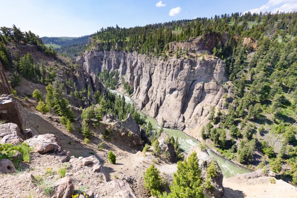
A steep climb opens a view into the Yellowstone Narrows.
Overview
The Yellowstone River Picnic Area Trail is a 3.7-mile (5.9 km) out-and-back to an east-rim overlook above the Narrows. Plan on 2–3 hours. The climb is steep, and the narrow bare-ground trail has rocks and roots; the ridge adds steep drop-offs. This is a good half-day choice if you want a canyon view and are comfortable with uneven footing and exposed edges.
 Parkwolf’s verdictIs this the hike for you?
Map & elevation
Plan your hike

The highest, rockiest slopes around here are a summer buffet for grizzly bears.
Yellowstone Tour Guide
Parkwolf is a GPS audio tour guide for Yellowstone National Park. As you drive, it chimes in with what’s ahead: hidden gems, upcoming stops, history, geology, and wildlife, right through your car’s speakers.
See the Yellowstone audio tourRecorded for this trailhead
Yellowstone River Picnic Area and Narrows“Yellowstone River Picnic Area is ahead, a useful lunch stop that also gives you a way up above the river canyon. I'd stop for a picnic and treat the walking as optional.”
Plays as you drive up to this trailhead in the Parkwolf Yellowstone Tour Guide.
More stories near here in the app
“First time driving through a national park. We used the Yellowstone tour on grand loop Road and it’s just like having a tour guide in your car with you.”


Trail guide
The trail climbs from the picnic-area access to the east rim, then follows the ridge above the Yellowstone River. The tread stays single-wide and rough. Take the rim section slowly where the ground falls away beside the path. The mapped route turns around at the vista and returns along the same corridor.
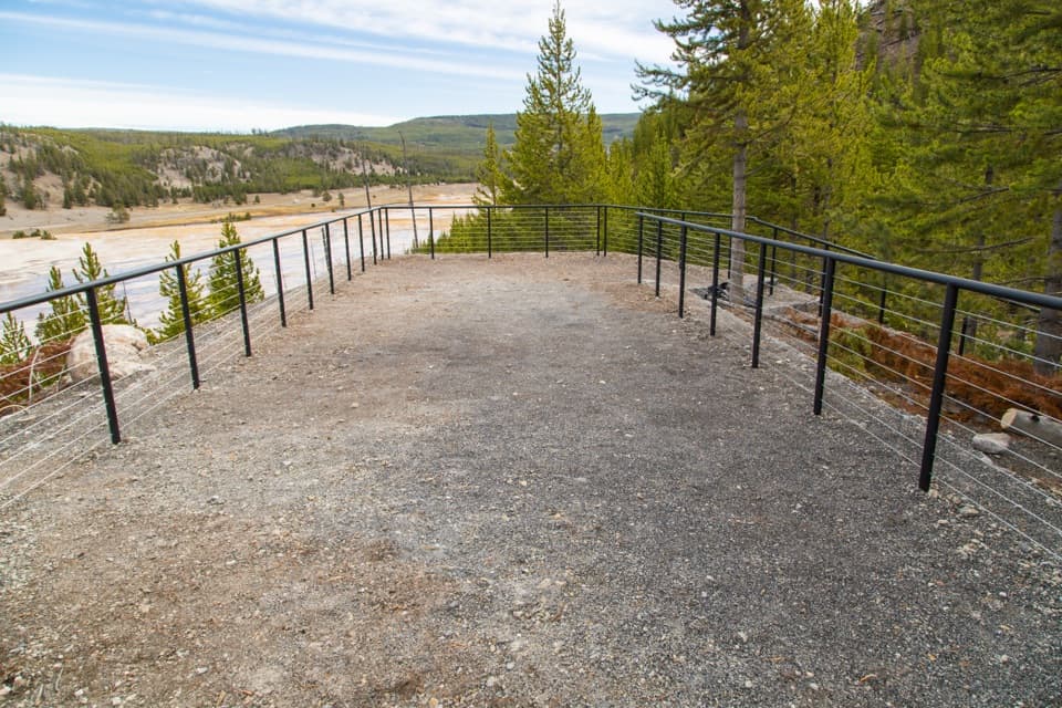
Look across the Narrows toward the Overhanging Cliff area, basalt columns, and historic Bannock Ford. The towers of Tower Fall are visible, but the waterfall itself is not. Peregrine falcons and osprey nest in the canyon, and bighorn sheep use the rim; they are possible sightings, not a promise. At the vista, the river bend framed by gray canyon walls is the trail’s signature view.
Start at Yellowstone River Picnic Area Trailhead 2K7, about 1.25 miles northeast of Tower Junction on Northeast Entrance Road. The standard route is there-and-back. The park also describes an alternate continuation northeast to a junction, then down to the road for a 0.7-mile walk west back to the picnic area; that road return is not included in this mapped out-and-back distance. Pets are not allowed.
Wildlife
 713 sightingsGrizzly BearMost seen around 6 AMSighting map
 743 sightingsWolfMost seen around 6 AMSighting map
 5,273 sightingsBisonMost seen around 7 AMSighting map
 3,258 sightingsElkMost seen around 7 PMSighting map
 397 sightingsMooseMost seen around 7 PMSighting map
 1,494 sightingsBlack BearMost seen around 7 PMSighting map
Sighting maps show where each species has been reported across Yellowstone. Wildlife moves, so no sighting is guaranteed.
Keep exploring
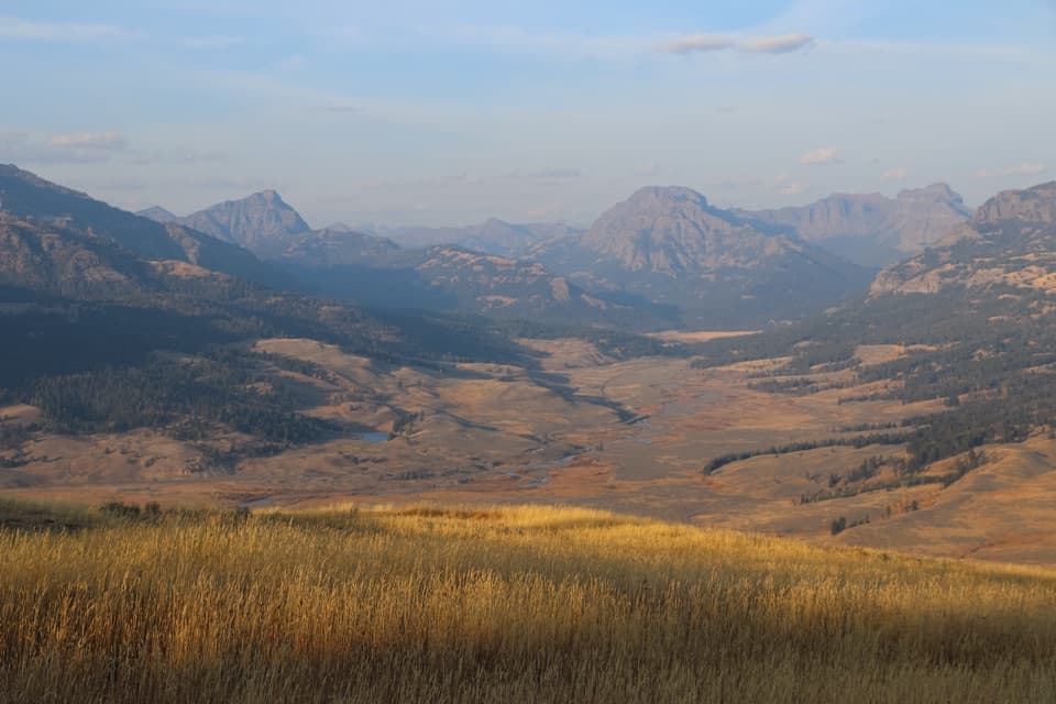 ChallengingSpecimen Ridge Trail17.7 mi · 11 hr · 0.7 mi away17.7-mile one-way ridge traverse over Amethyst Mountain.
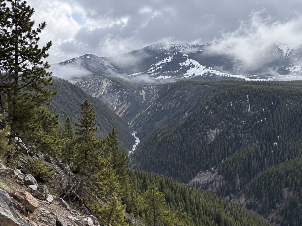 ChallengingAgate Creek Trail13.1 mi · 9.5 hr · 0.7 mi awayA long descent to a remote stretch of the Yellowstone River.
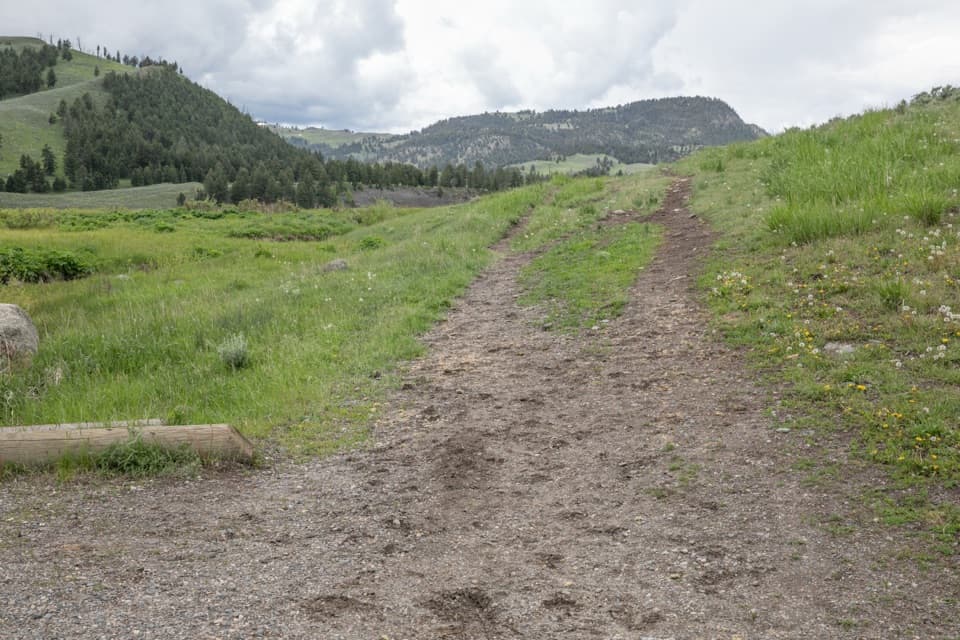 ModerateGarnet Hill Loop Trail8.1 mi · 4.5 hr · 0.8 mi awayA stagecoach road leads into Elk Creek canyon and river views.
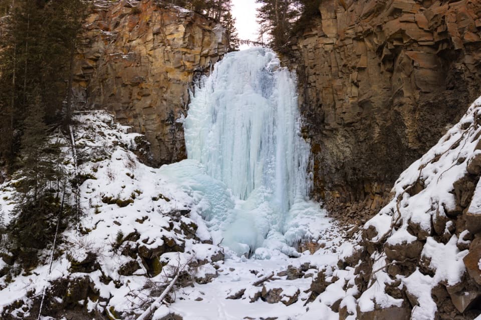 EasyLost Creek Falls Trail0.5 mi · 30 min · 0.8 mi awayA short creekside climb to a waterfall behind Roosevelt Lodge.
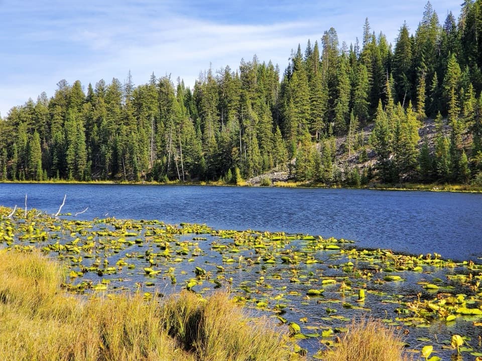 ModerateLost Lake Trail2.8 mi · 1.5 hr · 0.9 mi awayA 2.8-mile loop pairs Lost Lake with sagebrush meadow views.
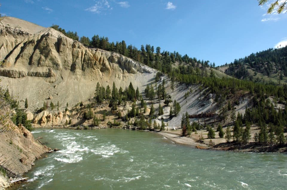 ModerateTower Fall Trail0.8 mi · 48 min · 1.8 mi awayA short switchback descent adds a riverbank below the falls.
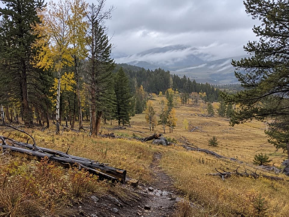 ModerateRoosevelt Lodge–Tower Fall Trail2.6 mi · 2 hr · 1.9 mi awayA steep climb opens to Tower Fall and Yellowstone River views.
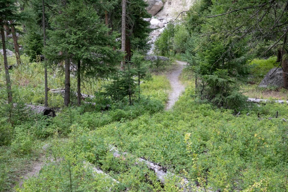 ModerateTower Creek Trail7 mi · 3.5 hr · 1.9 mi awayCreekside meadows and old burn, with a ford at the start.
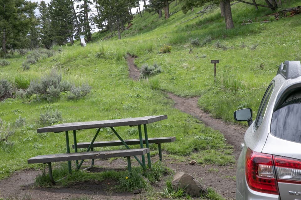 Picnic area · At the trailheadYellowstone River Picnic AreaA picnic stop that doubles as a steep start to canyon views.
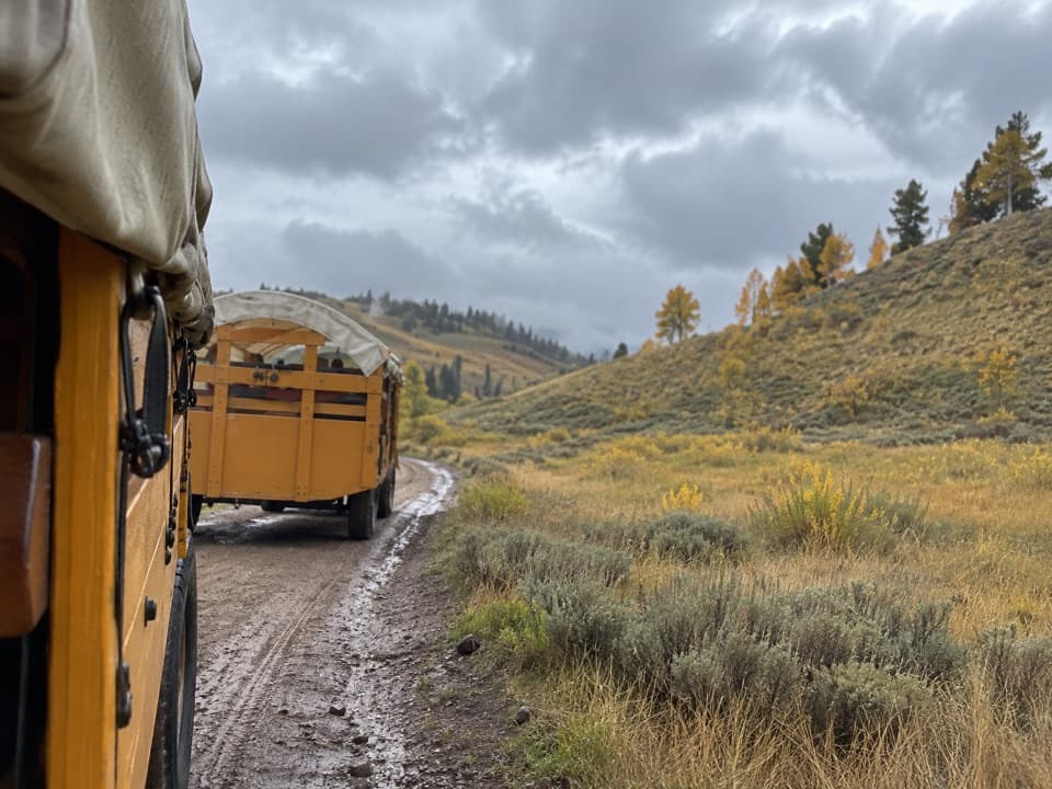 Sight · 0.7 mi awayRoosevelt Corral and Old West Dinner CookoutA covered-wagon steak supper in Pleasant Valley.
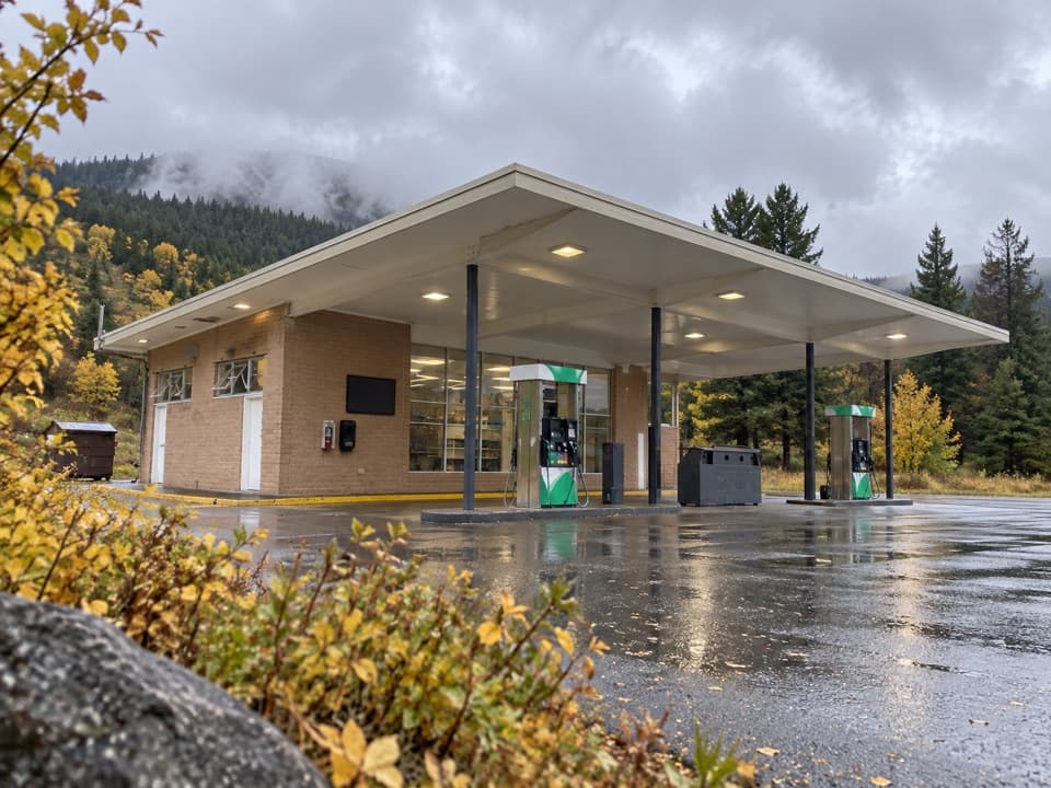 Gas station · 0.8 mi awayTower-Roosevelt Junction Gas StationFuel, ice, and a small store at Tower Junction.
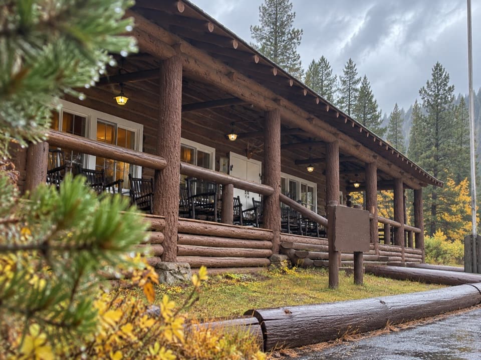 Lodging · 0.9 mi awayRoosevelt Lodge CabinsRustic cabins near Lamar Valley, with a 1920s lodge and porch.
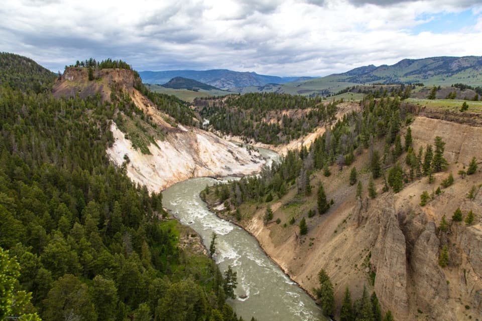 Sight · 1.1 mi awayCalcite Springs OverlookRiver cliffs, basalt columns, and a hot-spring story in minutes.
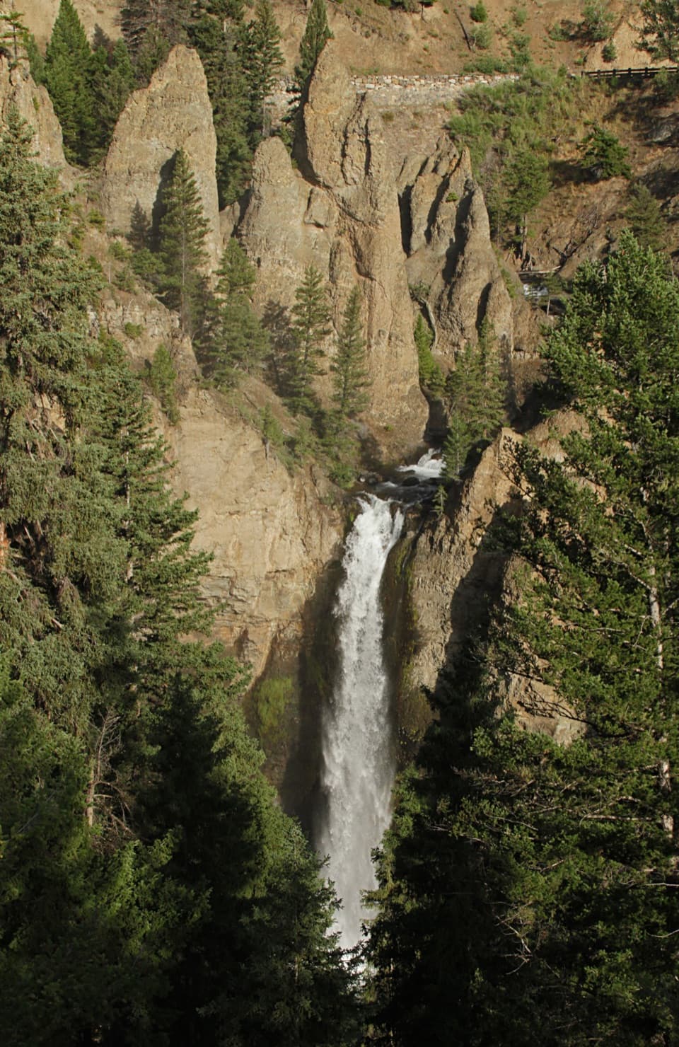 Sight · 1.8 mi awayTower Fall Overlook132 feet of falling water framed by the towers that named it.
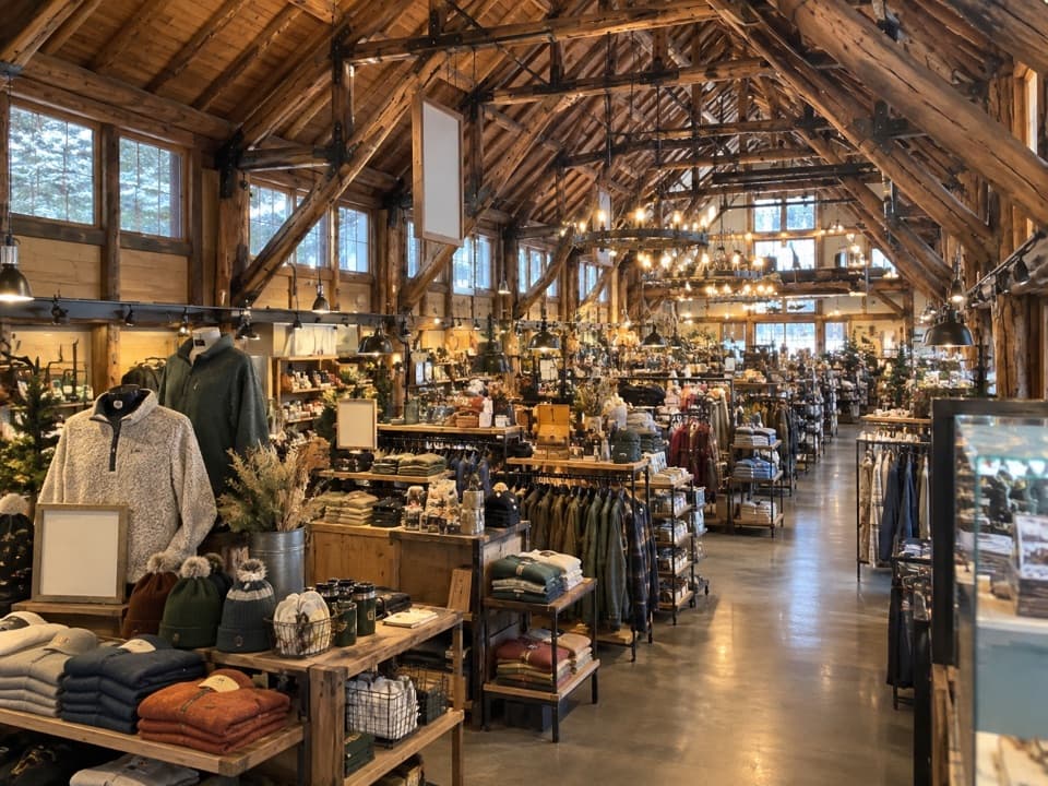 Store · 1.8 mi awayTower Fall General StoreIce cream, trail snacks and souvenirs beside the Tower Fall trailhead.
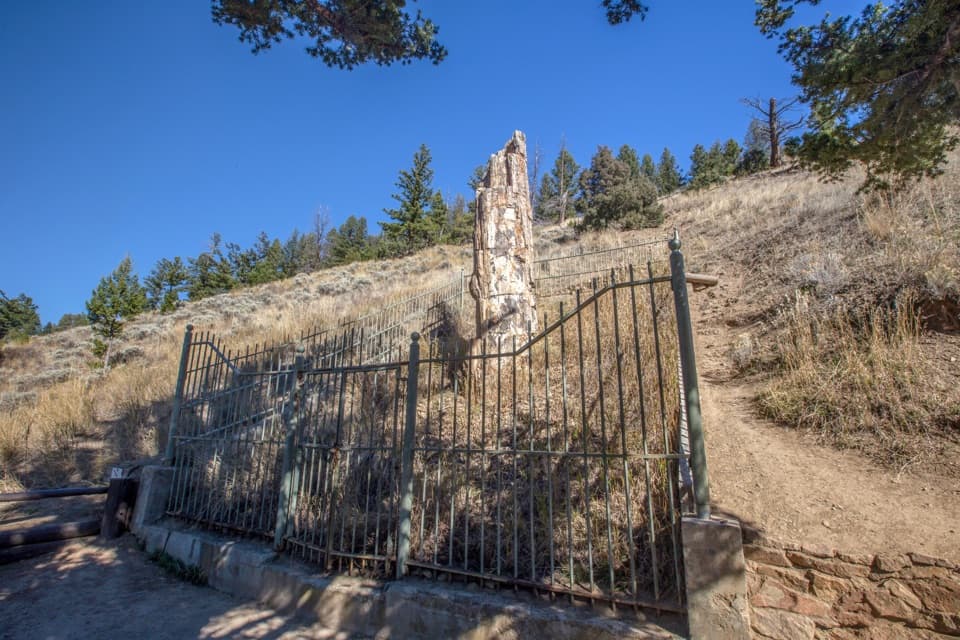 Sight · 1.9 mi awayPetrified TreeOne ancient redwood, best as a quick add-on near Lost Lake.
Parkwolf’s Yellowstone ranking
The audio tour guide for the drive, plus offline maps, trails, and wildlife heatmaps for when the signal drops.