
Place · 0.4 mi away
Moderate
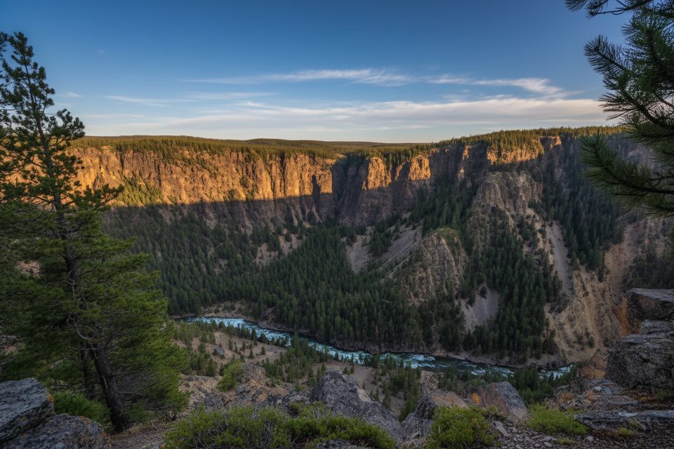
This is a true Yellowstone wander: a 13.5-mile one-way trek that traces the Yellowstone River from the Fishing Bridge area before rolling through forests and out into the broad grasslands of Hayden Valley, finishing near the Canyon area by Chittenden Bridge. It’s more about immersion than grand overlooks—expect birds, bison, and big sky rather than a single knockout viewpoint. Plan it as a point-to-point with a shuttle, or sample a section as an out-and-back.
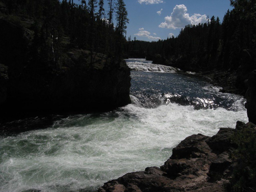
From just east of the Fishing Bridge developed area, the path briefly follows a service road and the Yellowstone River, with frequent waterfowl sightings. At about 3.9 miles, you’ll reach an overlook of LeHardy’s Rapids—a worthy turnaround if you’re only tasting the route. Around 6 miles the trail passes the historic Nez Perce Ford, with the Mud Volcano area across the river. By roughly 6.8 miles you enter Hayden Valley, Yellowstone’s largest valley, where the tread can fade across open meadows; staying near the treeline helps keep you on course. Near 11.6 miles you’ll hit the Sour Creek Trail junction and ford Sour Creek—often knee-deep by mid‑July—before the trail wraps up near Chittenden Bridge.
Expect rolling hills and a generally moderate feel, but don’t underestimate the length, the creek ford, and some navigation quirks. Maintenance varies, there can be downed trees, and the path across meadows can be faint. You’ll occasionally see or hear the highway, but long stretches feel surprisingly remote. Bring offline maps and be comfortable reading terrain.
You’re in prime grizzly country, with bison very common—especially across Hayden Valley. Give bears at least 100 yards and other large animals (like bison) at least 25 yards. Carry bear spray and know how to use it, hike in a group, and make noise in willows and meadows. The Sour Creek ford can be hazardous early season; skip it if levels look sketchy. Check for any temporary closures before you go.
Generally late spring through fall. Early season can be muddy with mosquitoes, and water levels (including Sour Creek) run higher. Start early to maximize wildlife viewing and to keep options open if you decide to turn around at LeHardy’s Rapids. If you’re fishing or plan to boat elsewhere the same day, know that separate permits and rules apply.
This is a one-way route—set a car shuttle between the Fishing Bridge area start and the Canyon end, or just do an out-and-back segment. Day hiking requires no permit; overnight trips need a backcountry permit. No pets on this trail. If you plan to fish or boat during your visit, follow park-specific permit and gear rules.
Park at the Fishing Bridge developed area (trailhead just east/behind the area) and leave a second vehicle near Canyon by Chittenden Bridge, or arrange a shuttle.
Prime grizzly and bison habitat; carry bear spray and give wildlife space (100 yards for bears, 25 yards for others). Trail can be faint in Hayden Valley and may have downed trees. Sour Creek requires a ford that’s often knee-deep by mid‑July and higher earlier—turn back if unsafe.
Place · 0.4 mi away
Place · 0.4 mi away
Place · 0.4 mi away
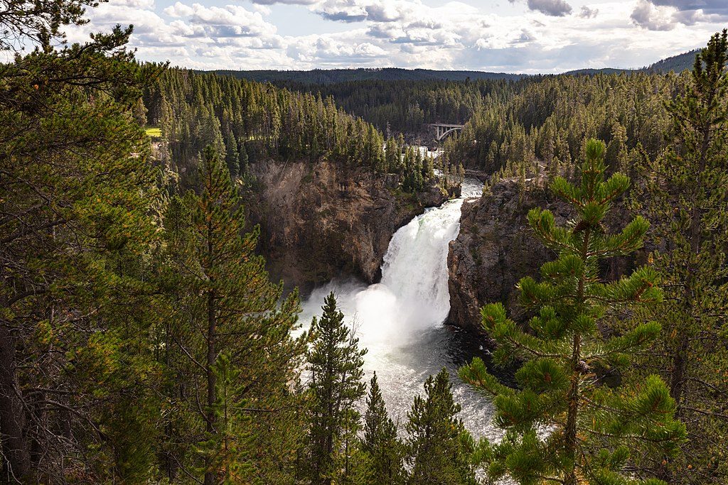
Place · 0.5 mi away
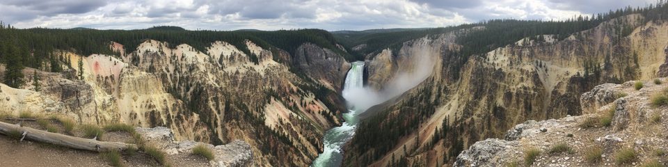
Moderate · 0 mi away
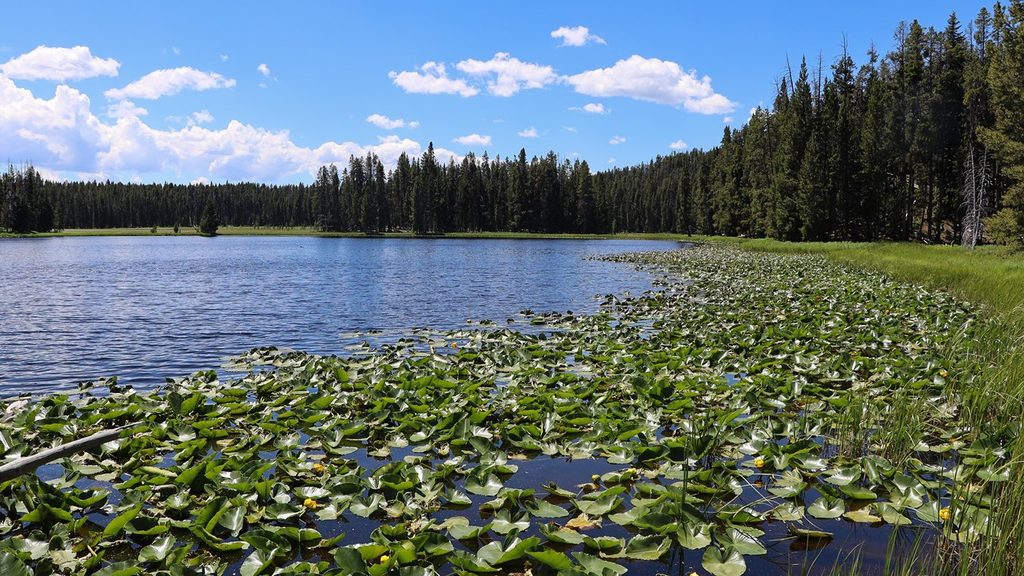
Moderate · 0.1 mi away
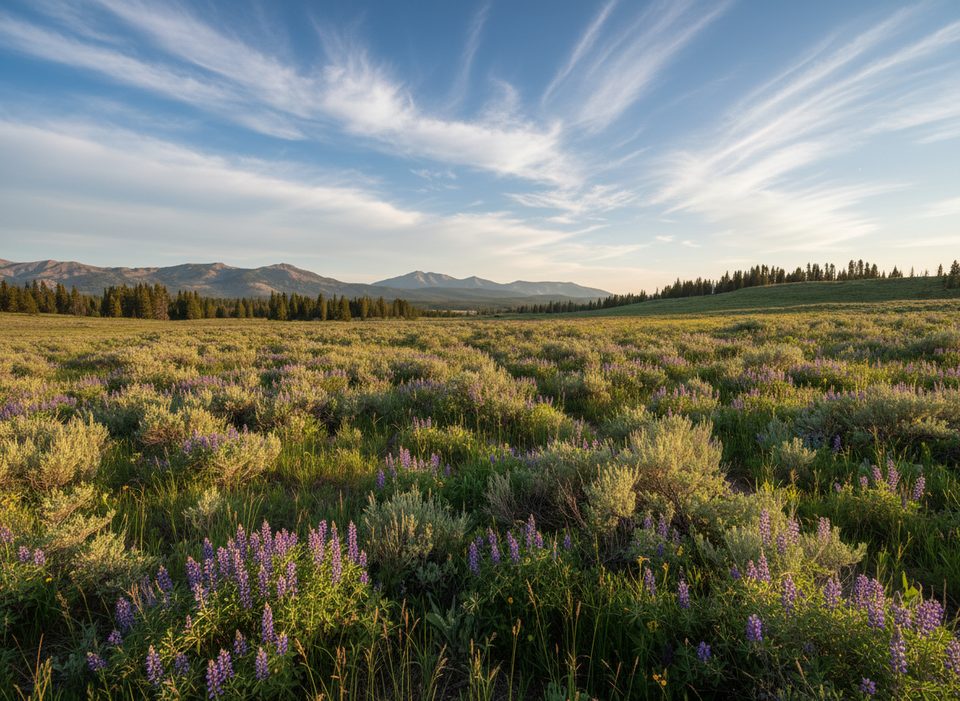
Challenging · 0.1 mi away
Easy · 0.4 mi away

Parkwolf Tour Guide
