South Rim Trail in Yellowstone National Park

#8 of 167 trails in Yellowstone

Yellowstone National Park, WY · MT · ID

South Rim Trail

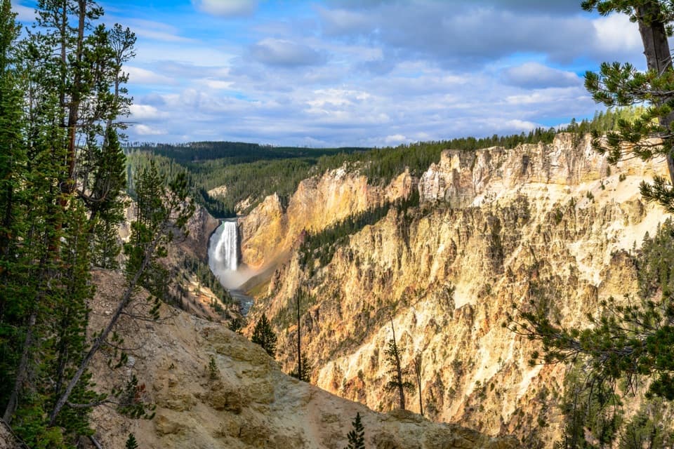
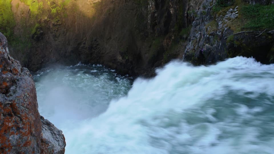
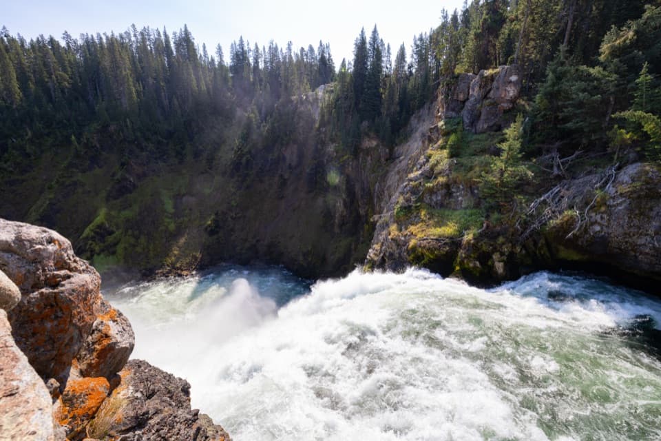
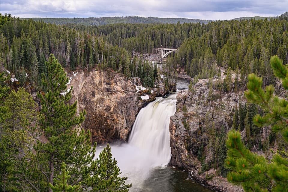
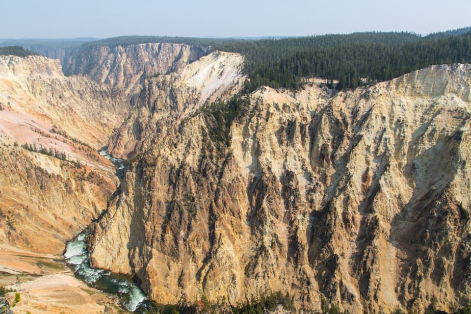
Upper and Lower Falls, with canyon views between them

Photo: National Park Service
Length
3.6mi
Time
2hr
Elev. change
120ft
Difficulty
Moderate
  • No dogs
  • High point 7,781 ft

Hear the audio tour

Chittenden Bridge and South Rim Trail

Overview

About South Rim Trail

Why go

  • Changing Upper and Lower Falls views before Artist Point
  • The classic Lower Falls overlook is the route’s payoff

Heads up

  • Short steep climb and exposed canyon-rim viewpoints
  • Artist Point can be busy in peak summer

Map & elevation

The route

Loading the Yellowstone map
Full map
Elevation7,661–7,781 ft
TrailheadSouth Rim Trailhead at Chittenden Bridge44.70809, -110.50264
Keep this map with you offline in the Parkwolf app

Plan your hike

Before you go

Parking

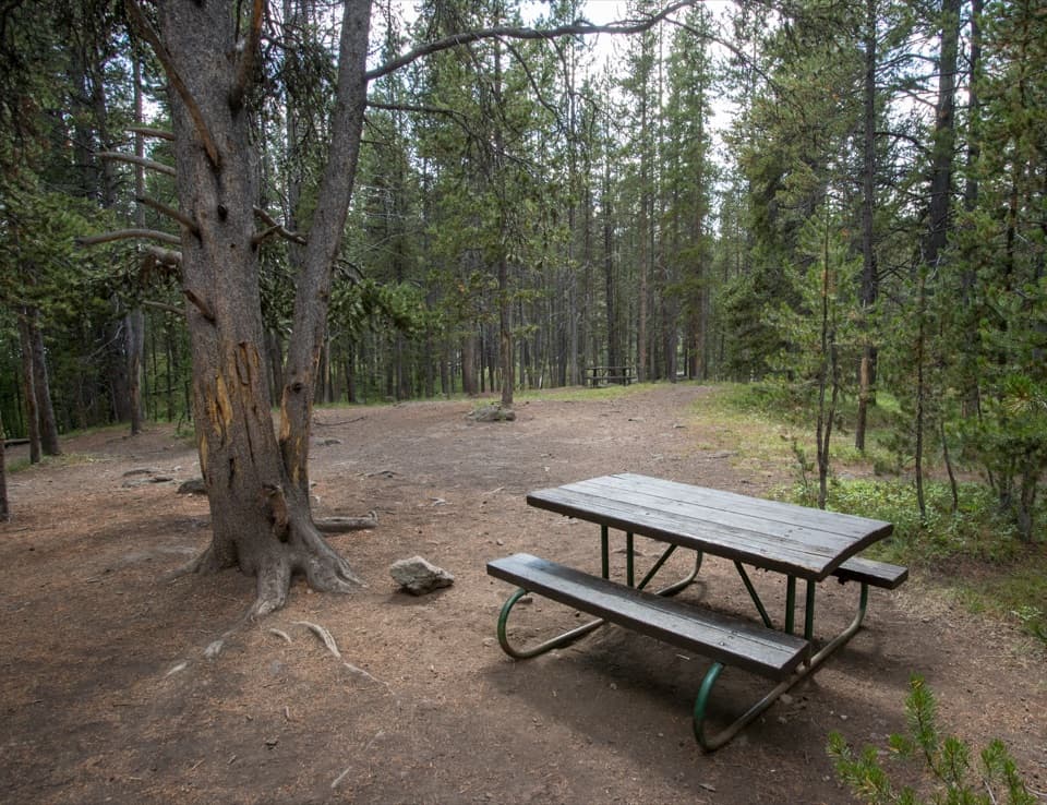
Park at the Wapiti Lake / Chittenden Bridge Picnic Area on South Rim Drive. Follow the short paved access to the signed South Rim Trailhead at the bridge. The trailhead area has a kiosk and vault toilets; Artist Point has a separate large lot and vault toilets.

Safety

Several canyon overlooks are exposed above steep drops; keep to the path and well back from the rim. Pets are allowed only in parking areas, not on this trail.

5 active Yellowstone alerts

  • ClosureBiscuit Basin closed after hydrothermal explosionBiscuit Basin’s parking lot, boardwalk, and Firehole River are closed to all travel.Official details
  • ClosureMost Yellowstone roads close to regular vehicles November 1Most Yellowstone roads and the West, South, and East entrances are scheduled to close to regular vehicles November 1, 2026, as the park prepares for winter operations.Official details
See all 5 alerts
A park ranger sits on a dash-mounted phone, talking, as Parkwolf’s Tour Guide plays “Army Cutworm Moths: A Grizzly Bear Buffet” on Grand Loop Road below Dunraven Pass in Yellowstone
Parkwolf Tour GuideThe highest, rockiest slopes around here are a summer buffet for grizzly bears.

Yellowstone Tour Guide

Hear Yellowstone as you drive it.

Parkwolf is a GPS audio tour guide for Yellowstone National Park. As you drive, it chimes in with what’s ahead: hidden gems, upcoming stops, history, geology, and wildlife, right through your car’s speakers.

See the Yellowstone audio tour

Recorded for this trailhead

Chittenden Bridge and South Rim Trail
0:00 / 0:27
“You’re approaching Chittenden Bridge Picnic Area, a useful lunch stop beside Wapiti Lake Trailhead.”

Plays as you drive up to this trailhead in the Parkwolf Yellowstone Tour Guide.

More stories near here in the app

  • Brink of the Upper Falls
  • Upper Falls Viewpoints and Clear Lake
  • Brink of the Lower Falls
  • Lookout Point and Grand View
  • 243 audio storiesacross Yellowstone’s roads, triggered by GPS as you drive
  • Wildlife heatmapsfor Wolf, Grizzly Bear, Bison, and 13 more
  • Works offlinemaps, 167 trails, 192 places, and audio download before you lose signal
  • CarPlay readysimple controls built for the drive
★★★★★
“First time driving through a national park. We used the Yellowstone tour on grand loop Road and it’s just like having a tour guide in your car with you.”
Jyg5001App Store review
Download Parkwolf on the App StoreGet Parkwolf on Google Play

4.7 from 8,600+ ratings

Trail guide

Hiking South Rim Trail

What this walk isThe South Rim Trail is a 3.

The South Rim Trail is a 3.6-mile out-and-back from the signed trailhead at Chittenden Bridge to Artist Point and back. It follows the Yellowstone River toward Upper Falls, then winds through woods along the canyon rim before opening at Artist Point above Lower Falls. Allow about two hours with stops; the short climb near Discovery Overlook and the viewpoints take longer than the mileage suggests. Walk the full route for changing perspectives. If you only want the Lower Falls view, drive to Artist Point and take its short approach.

Start at Chittenden BridgePark at the Wapiti Lake / Chittenden Bridge Picnic Area on South Rim Drive and follow the short…

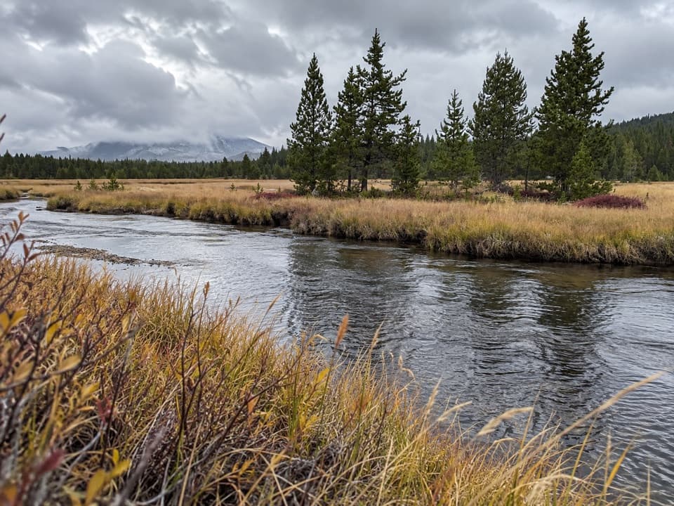
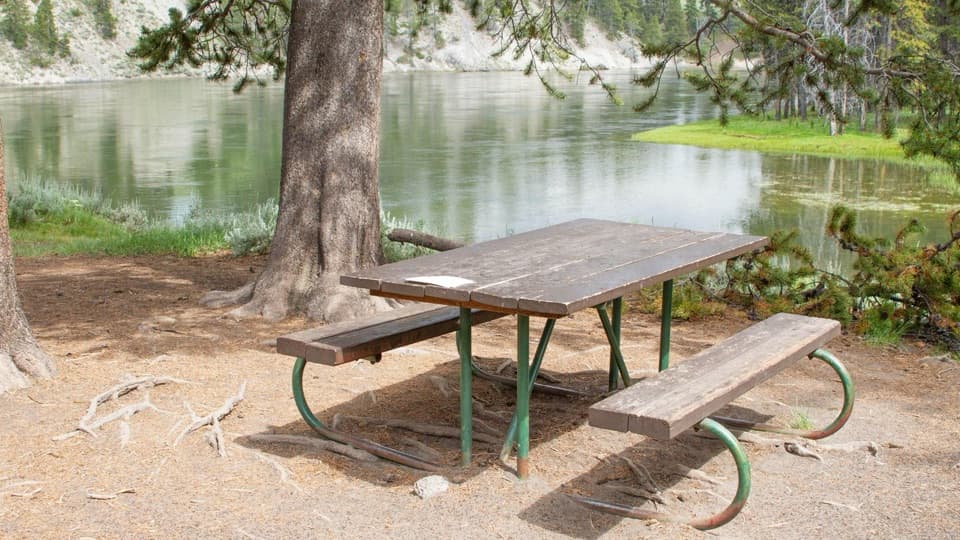
Park at the Wapiti Lake / Chittenden Bridge Picnic Area on South Rim Drive and follow the short paved access to the signed trail. The trailhead area has a kiosk and vault toilets. For the first quarter mile, the Yellowstone runs beside you, with rock outcrops breaking up the current and the old bridge behind them. After the river bends toward Upper Falls, the trail climbs sharply but briefly to Discovery Overlook. Take the paved spur for an early canyon view.
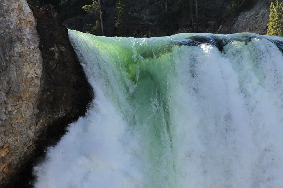
From Upper Falls to the rimThe route passes Upper Falls View, then heads east through pines.

The route passes Upper Falls View, then heads east through pines. Upper Falls comes close; after that, canyon and waterfall views return in short openings among the woods, small rises, and rough patches. This is not a continuous rim walk. At the old Uncle Tom’s junction, stay on the South Rim route; two viewpoints follow to the east. Use the established overlooks and give the exposed edge plenty of room.

The last half mileFour short switchbacks lead to the developed Artist Point access.

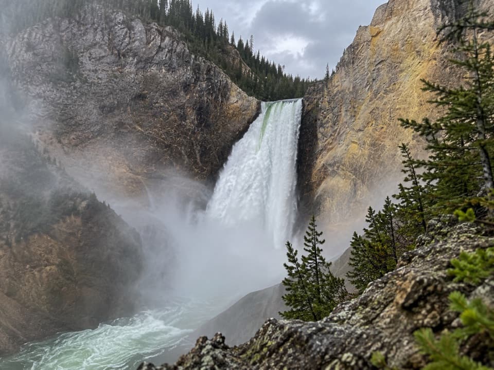
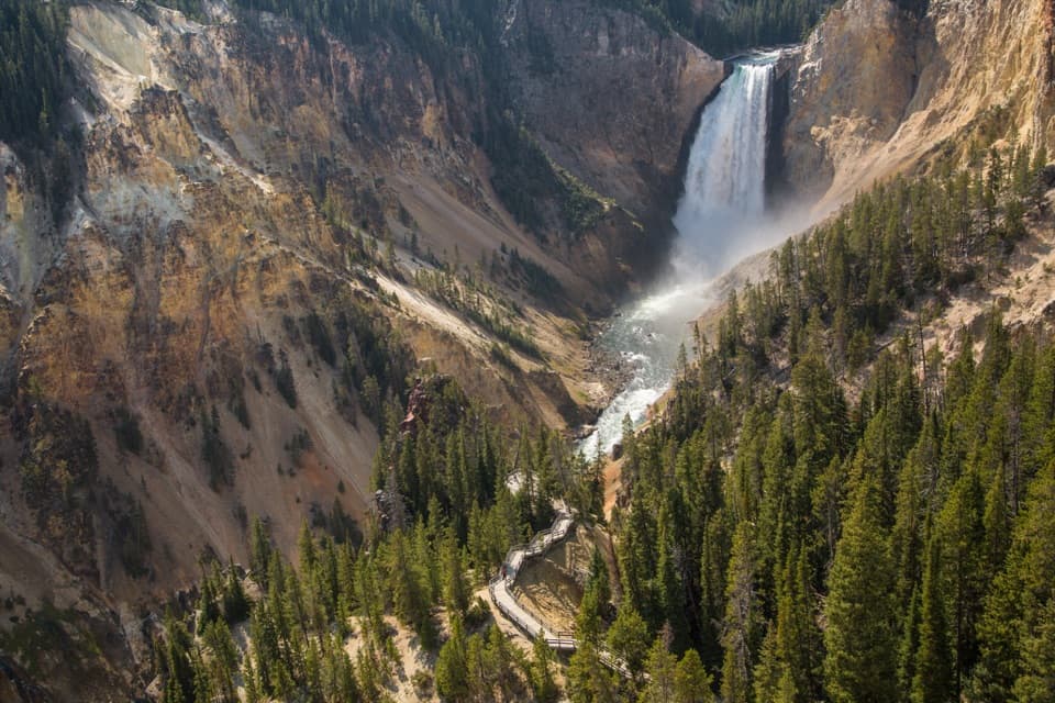
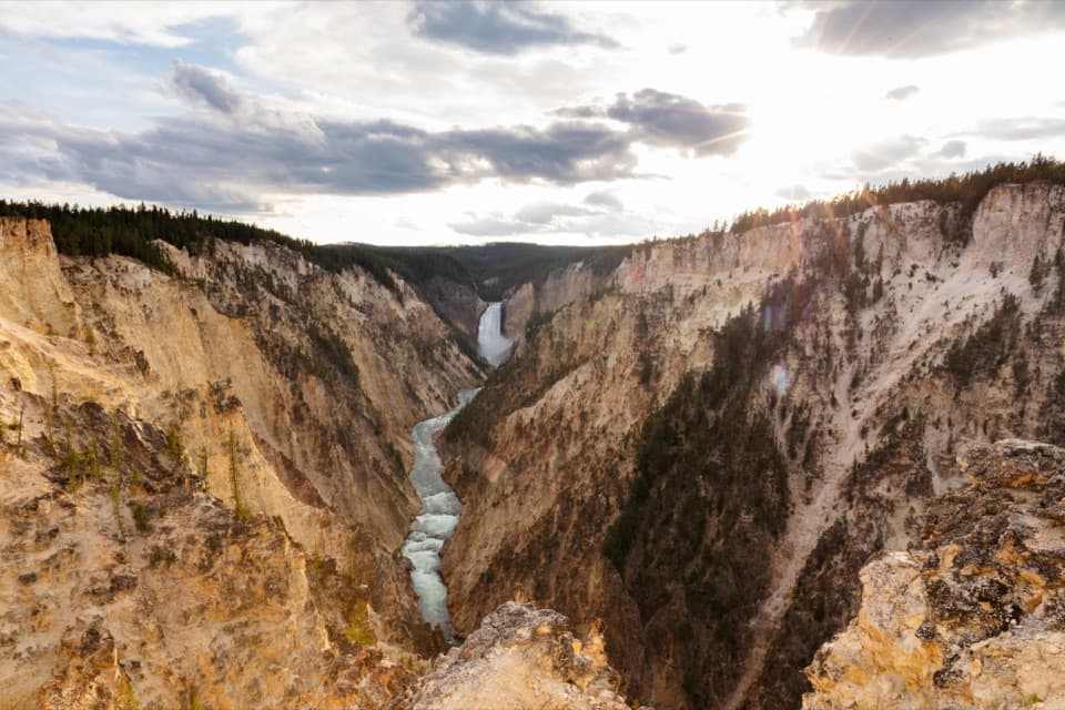
Four short switchbacks lead to the developed Artist Point access. The overlook frames Lower Falls between the canyon walls, with the river winding toward you through the gorge. This is the payoff and can be busy in summer. If you only have time for one view, the drive-up Artist Point access is faster. Walk from Chittenden Bridge if you also want Upper Falls and the changing views along the rim.

A canyon still being carvedHydrothermal activity altered and weakened the rhyolite; the Yellowstone River then cut deeper…

Hydrothermal activity altered and weakened the rhyolite; the Yellowstone River then cut deeper into it. The oldest canyon is thought to date to about 160,000–140,000 years ago. That process helps explain the orange, pink, yellow, and brown walls, with active steam vents in places. Lower Falls drops 308 feet; Upper Falls, farther upstream, drops 109 feet.

The name at the endPhotographer F. Jay Haynes named Artist Point in 1883.

Photographer F. Jay Haynes named Artist Point in 1883. From here, Lower Falls sits high between the colored walls, while the river leads your eye down the canyon. Give the overlook a little time instead of treating it as a quick turnaround.

Look above the riverOsprey nest along the canyon near the developed Canyon Village area.

Osprey nest along the canyon near the developed Canyon Village area. Six to ten nests are usually occupied there; the adults arrive in spring and leave by early fall. Scan the cliffs and river for a bird carrying a fish or returning to a nest, but treat a sighting as a bonus.

Know the tradeoffsThis is a good modest-length walk if you want several canyon views, not just the famous…

This is a good modest-length walk if you want several canyon views, not just the famous overlook. Some viewpoints sit beside steep, exposed drops, and parts of the trail are uneven. Pets may stay in parking areas but are not allowed on this route. Some itineraries report longer mileage when they include parking access or the developed overlook approach; 3.6 miles here is from the signed trailhead to Artist Point and back.

Wildlife

Wildlife in Yellowstone

All Yellowstone wildlife maps

Sighting maps show where each species has been reported across Yellowstone. Wildlife moves, so no sighting is guaranteed.

Keep exploring

Near South Rim Trail

See it all on the map

Trails that start nearby

Places near the trailhead

Parkwolf’s Yellowstone ranking

Top-rated trails in Yellowstone

All 167 trails
  1. 1Old Faithful to Morning Glory Pool TrailEasy · 2.7 mi
  2. 2Grand Prismatic Overlook TrailEasy · 1.6 mi
  3. 3Dunraven Pass–Mount Washburn TrailChallenging · 7 mi
  4. 4Midway Geyser Basin TrailEasy · 0.7 mi
  5. 5Brink of the Lower Falls TrailChallenging · 0.7 mi
  6. 6Fairy Falls TrailEasy · 4.5 mi

Take Parkwolf to Yellowstone.

The audio tour guide for the drive, plus offline maps, trails, and wildlife heatmaps for when the signal drops.

4.7 from 8,600+ ratings

Download Parkwolf on the App StoreGet Parkwolf on Google Play