
Place · 0 mi away
Moderate
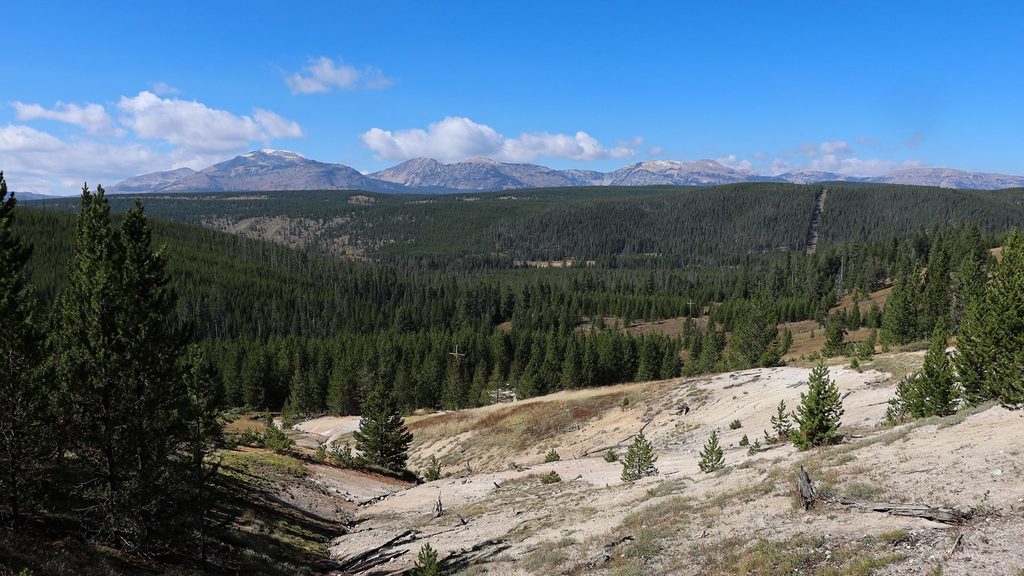
Solfatara Creek is a mellow, mostly singletrack ramble through lodgepole forest and open meadows with a true backcountry feel—and a few quirks. It runs roughly 6.3–6.5 miles one way (plan 12.6–13 miles total if you do it out-and-back), with rolling terrain and about 1,100 feet of cumulative gain on the round-trip. The first mile charms with wildflowers and creek views before a noticeable stretch under a powerline corridor that many hikers find less scenic. Crowd levels are usually low, so solitude comes standard.
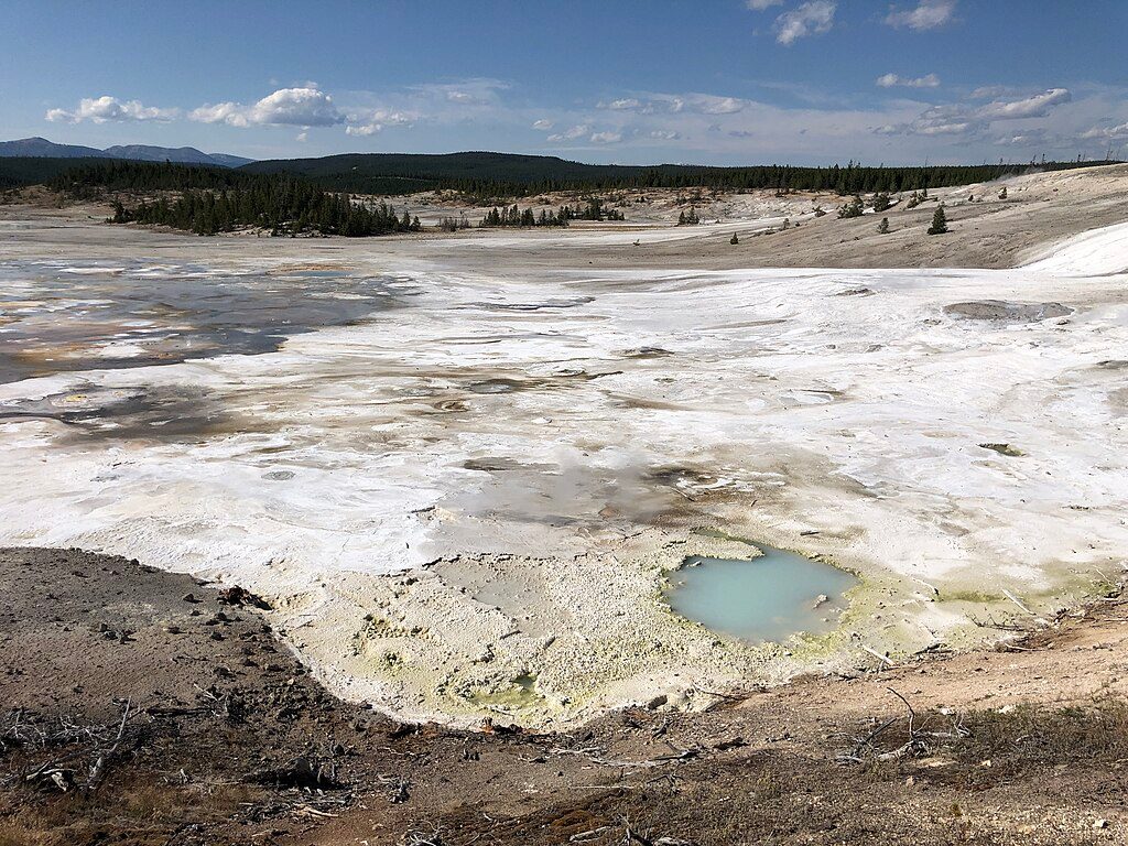
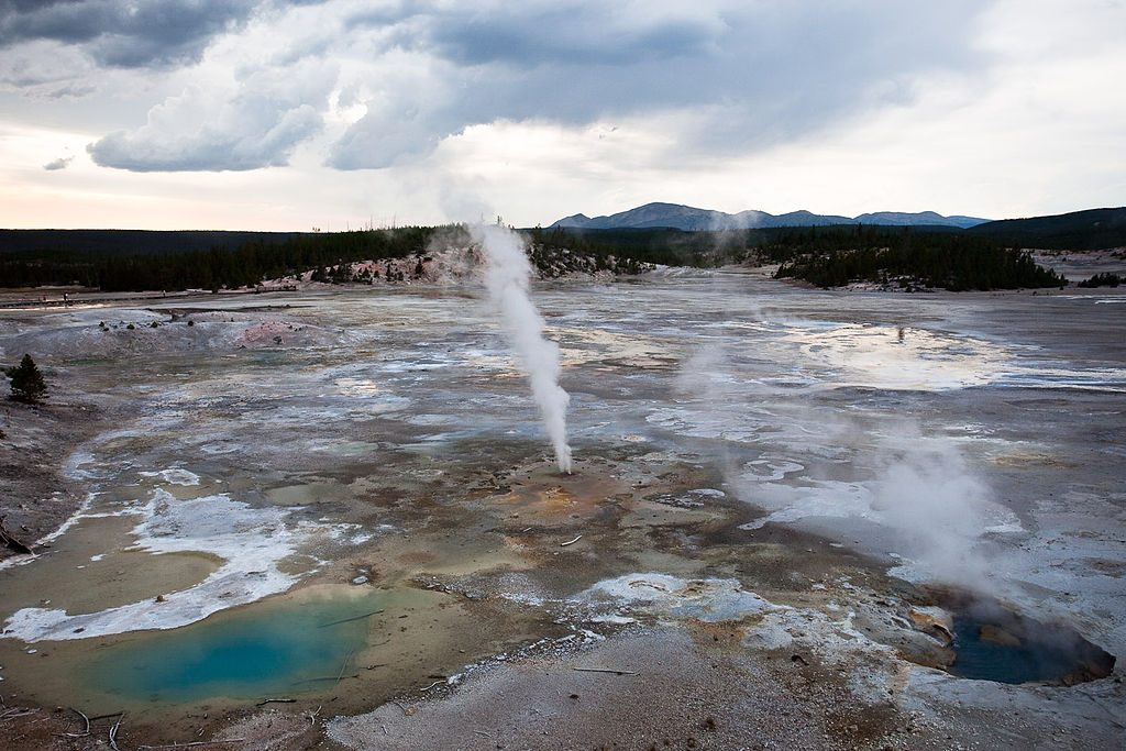
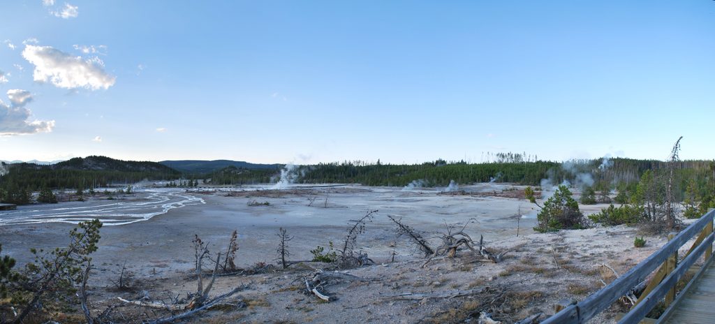
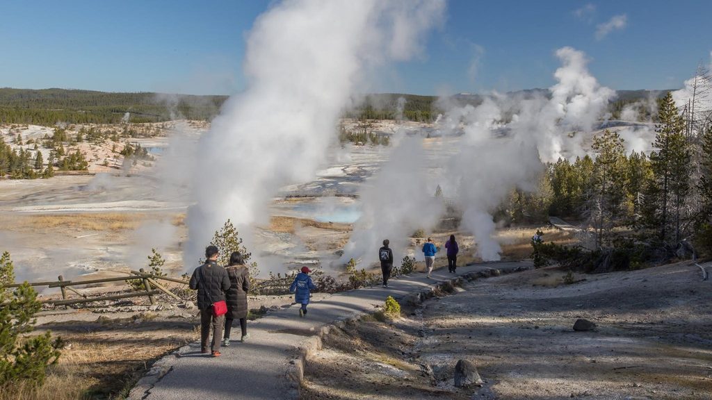
The north end brushes two seldom-visited thermal areas—Amphitheater Springs and Whiterock Springs—where colorful pools, mudpots, and fumaroles remind you you’re in Yellowstone’s hot zone. Lemonade Creek, a lime-colored outflow from Amphitheater Springs, is a quirky highlight. You’re also walking a slice of history along the route of the 1878 Norris Road that once linked Mammoth to the geyser basins. On clear days, keep an eye out for surrounding hills and the Mount Holmes area peeking above the forests.
Trail character alternates between shady forest and broad meadows. Expect muddy sections and mosquitoes in season; waterproof footwear, gaiters, and repellent pay off. Wildlife is possible—this is prime grizzly country, and elk, bison, and moose use these meadows—so make noise, carry bear spray where you can reach it, and give animals plenty of space. The path is generally easy to follow and sees light traffic, which is great for quiet miles but means you should be self-reliant.
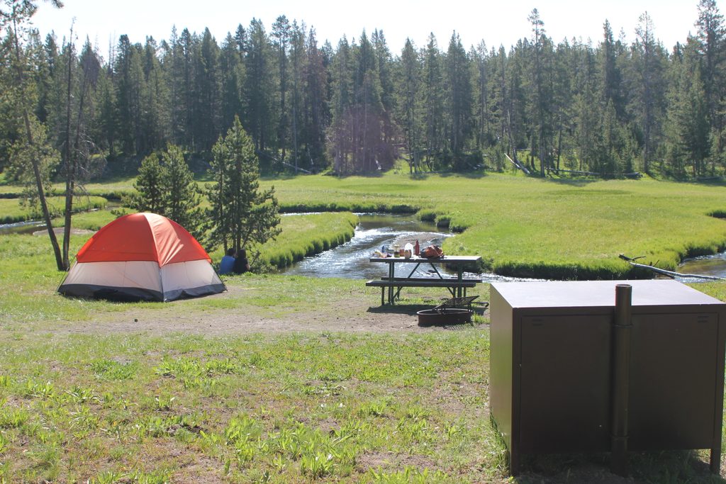
This is a true point-to-point. The south trailhead sits by the Norris Campground entrance (parking near the restrooms). On the north end, there’s a pullout along the Grand Loop Road just south of the Beaver Lake picnic area. Do it one way with a shuttle, or turn around for a 13-mile day. If you’re after the thermal features and more open views, many hikers prefer the northern third of the route.
May through September is the sweet spot. Early summer can bring bear-related closures—check conditions before you go. Start early for cooler temps, fewer bugs, and softer light across the meadows. This trail rarely feels busy even in peak season.
Dogs aren’t allowed on this trail. Stay on established tread—off-trail travel in hydrothermal terrain is dangerous and prohibited. If you’re camping in the backcountry, store food properly and sleep at least 100 yards from your cooking/food storage area; campfires are allowed only in designated sites with established rings. Keep 100 yards from bears and wolves (25 from other wildlife), and avoid hiking after dark.
If you value quiet miles, subtle scenery, and a brush with remote thermal features, Solfatara Creek is underrated. If endless views are your priority, the powerline corridor may underwhelm. For bigger wildlife drama across open country, consider the Mary Mountain area—just know bear activity there can be intense.
South end: park near the Norris Campground entrance by the restrooms. North end: roadside pullout just south of the Beaver Lake picnic area. Arrange a shuttle for a one-way hike or return the same way.
Grizzlies frequent the area—carry accessible bear spray, hike in groups, make noise, and keep 100 yards from bears. Stay on established trail near thermal features. Expect mosquitoes and mud. For camping, store food properly and sleep 100 yards from your kitchen; campfires only in designated sites.
Place · 0 mi away
Place · 0.2 mi away
Place · 0.8 mi away
Place · 0.8 mi away
Easy · 0.3 mi away
Easy · 0.3 mi away
Easy · 1 mi away
Easy · 1.3 mi away

Parkwolf Tour Guide
