Parking
Use the Norris Geyser Basin visitor-area lot beside the Museum and Information Station. Parking is limited, especially from 10 a.m. to 6 p.m.; arrive early or allow time to find a space.
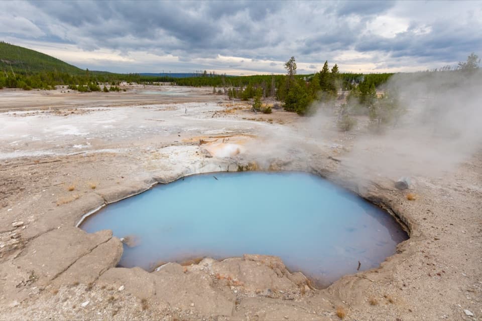
#12 of 167 trails in Yellowstone
Yellowstone National Park, WY · MT · ID
A wooded thermal loop with geysers scattered through the pines.
Overview
Map & elevation
Plan your hike

The highest, rockiest slopes around here are a summer buffet for grizzly bears.
Yellowstone Tour Guide
Parkwolf is a GPS audio tour guide for Yellowstone National Park. As you drive, it chimes in with what’s ahead: hidden gems, upcoming stops, history, geology, and wildlife, right through your car’s speakers.
See the Yellowstone audio tourRecorded for this trailhead
Norris Geyser Basin“You're coming up on the entrance to Norris Geyser Basin, where I'd allow about an hour to explore on foot. For a shorter visit, choose Porcelain Basin, an open sweep of pale ground, blue pools and hissing vents.”
Plays as you drive up to this trailhead in the Parkwolf Yellowstone Tour Guide.
More stories near here in the app
“First time driving through a national park. We used the Yellowstone tour on grand loop Road and it’s just like having a tour guide in your car with you.”


Trail guide
Back Basin Trail is a 1.5-mile loop through the more wooded half of Norris Geyser Basin. Boardwalks and marked paths weave between scattered springs, geysers and vents, with lodgepole pines breaking up the open thermal ground. If you’re choosing one Norris circuit, I’d lean here when you want the features spread through a quieter, more varied basin; Porcelain Basin is shorter and barer. Allow about an hour to 90 minutes with stops. That 1.5 miles is the Back Basin circuit, not the neighboring Porcelain loop or a combined two-basin walk.
Begin at the Norris Geyser Basin Museum and Information Station. The access path drops steeply on uneven ground before the routes divide into the basins. From there, the loop mixes boardwalk, paved paths and unpaved stretches. Wooden sections bring you close to pools and runoff channels; bare ground adds uneven patches, with more space between some features. This isn’t a flat, continuous boardwalk, so account for the entrance descent if steep footing is difficult for you.
Emerald Spring, Cistern Spring and Steamboat Geyser are some of the memorable stops. They aren’t all arranged along one overlook: the route bends through wooded pockets and brings you to pools and vents one at a time. Steamboat is the headline geyser, but a major eruption is unpredictable and can be many years away. When one happens, the plume can top 300 feet; smaller eruptions are roughly 10 to 40 feet. Make the circuit for the basin, not for a promised show.
The colors around the water come from mineral chemistry and heat-loving microorganisms, not decoration. Different organisms thrive at different temperatures, so the greens, yellows and orange-brown mats shift where runoff cools. Norris is one of Yellowstone’s hottest and most acidic thermal areas. Its water levels and seismic activity can change which features are active, and springs can appear or go quiet over time. That constant change is part of what makes a walk through Norris different from a display of fixed landmarks.
Back Basin feels more wooded than Porcelain, and the features sit farther apart. Young lodgepole pines are growing among the remains of the 1988 fire, a visible sign of how quickly the forest returns. The Ragged Hills around parts of the basin are glacial moraines that steam and hot water have altered: glaciers left the debris, then geothermal activity changed it. Look across the wider basin as well as down into each pool; the thermal landscape and the recovering forest share the same ground.
The boardwalk viewpoints put you close to springs and geysers without needing to leave the marked route. At Emerald Spring, frame the pool with a little boardwalk and the pines around it; that gives the photograph the setting as well as the water’s color. Don’t step onto the thermal ground for a closer angle. Boiling water can cause severe burns, and the park asks visitors to stay on boardwalks and designated trails.
Use the Norris Geyser Basin visitor-area lot beside the museum and information station. Parking is limited, especially from 10 a.m. to 6 p.m., so arrive early or leave time to find a space. The museum’s geothermal exhibits give useful context before or after the walk, and the information station is at the access point. Pets aren’t allowed on the basin trails. In winter, Norris is reached by snowmobile; this is a spring-through-fall drive-up walk.
Wildlife
 713 sightingsGrizzly BearMost seen around 6 AMSighting map
 743 sightingsWolfMost seen around 6 AMSighting map
 5,273 sightingsBisonMost seen around 7 AMSighting map
 3,258 sightingsElkMost seen around 7 PMSighting map
 397 sightingsMooseMost seen around 7 PMSighting map
 1,494 sightingsBlack BearMost seen around 7 PMSighting map
Sighting maps show where each species has been reported across Yellowstone. Wildlife moves, so no sighting is guaranteed.
Keep exploring
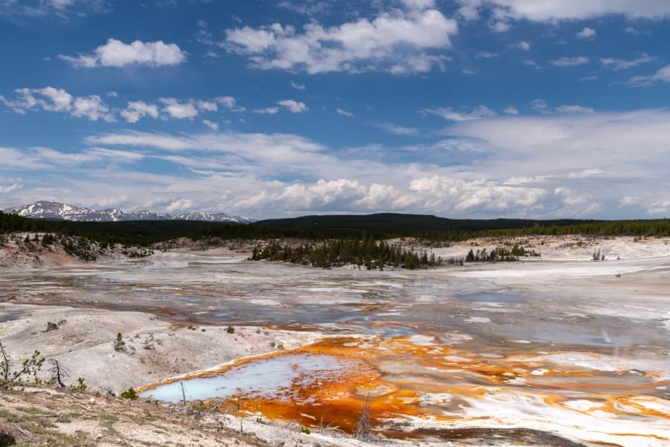 EasyPorcelain Basin Trail1 mi · 45 min · At the trailheadLoop past steaming geysers and vivid runoff in a pale basin.
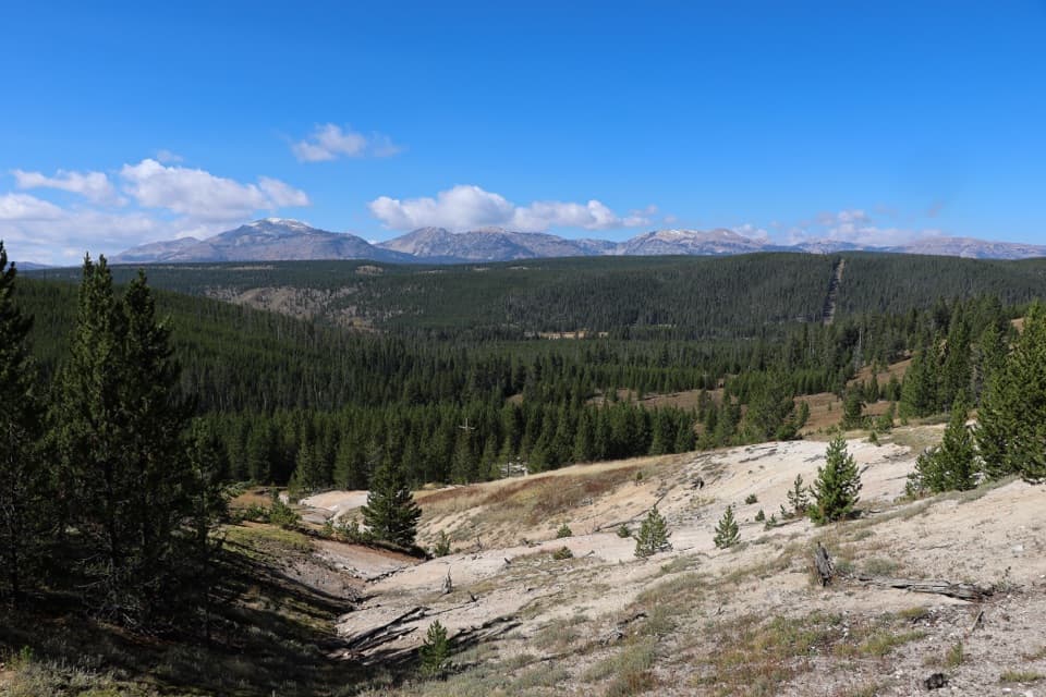 ModerateSolfatara Creek Trail6.3 mi · 3.5 hr · 1 mi awayA long thermal creek walk through forest, meadows, and hot springs
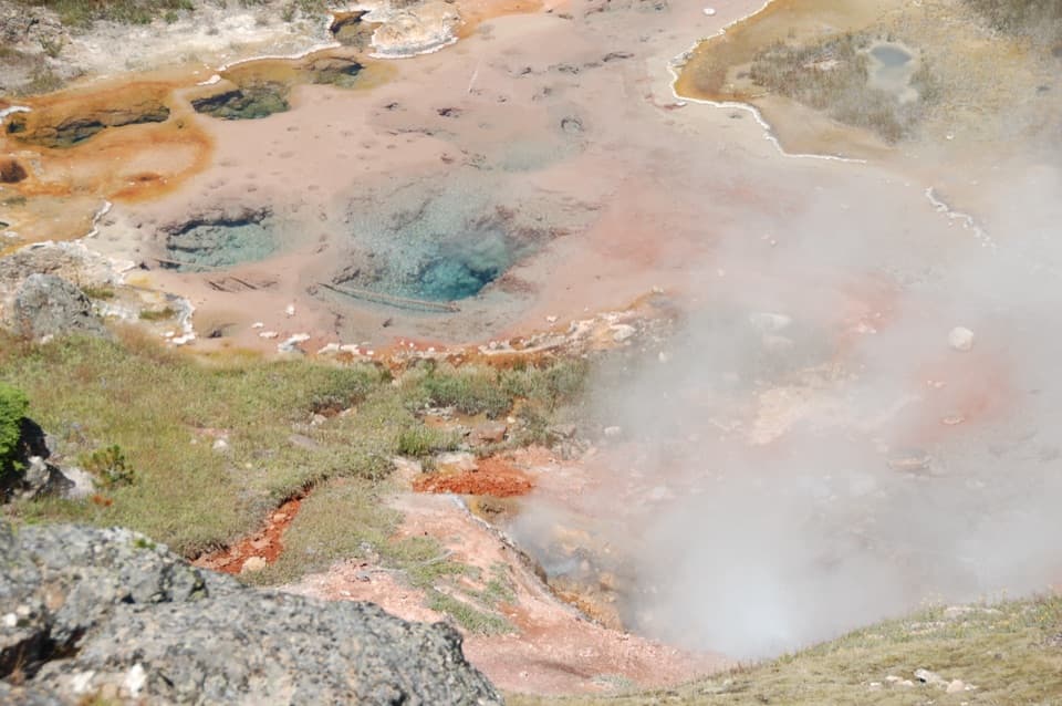 EasyArtists Paintpots Trail1 mi · 45 min · 2.8 mi awayA short loop past bubbling mud and a steep climb.
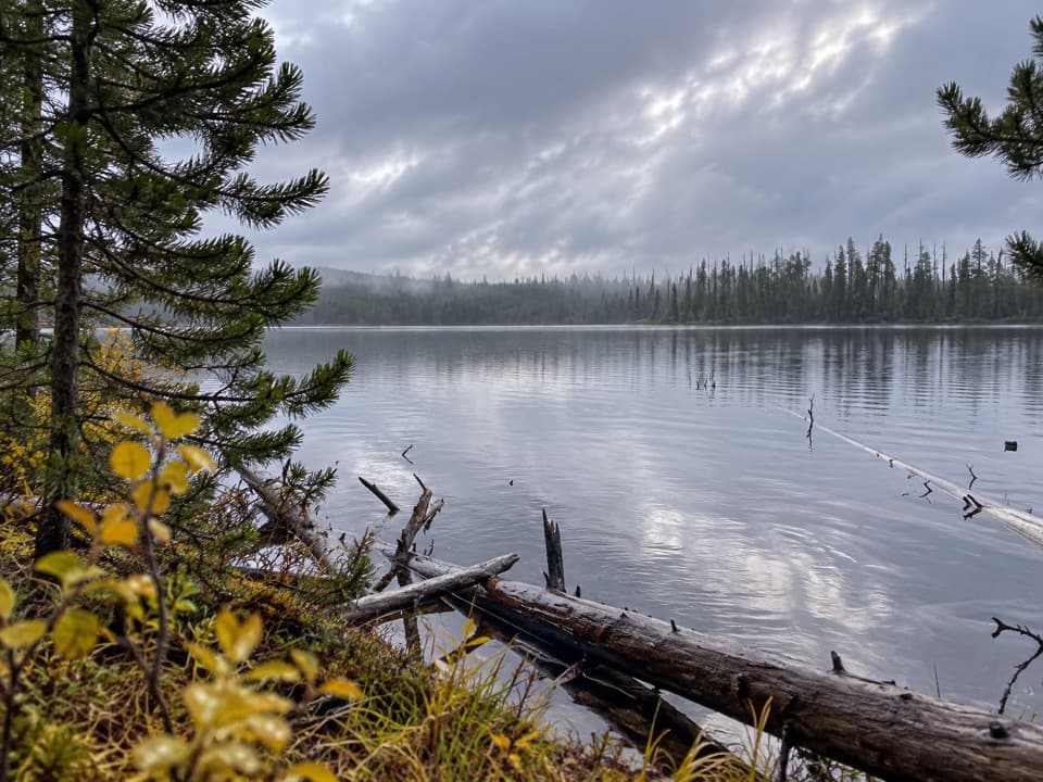 EasyIce Lake Trail1 mi · 45 min · 3.5 mi awayA short forest walk to the western edge of Ice Lake.
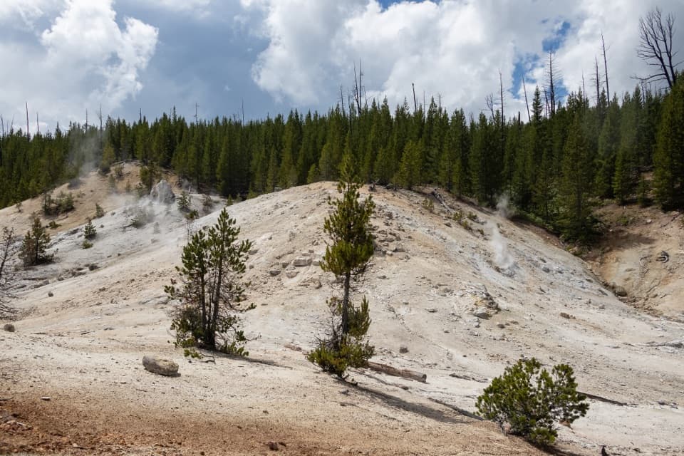 ModerateMonument Geyser Basin Trail2.4 mi · 2 hr · 3.6 mi awayA steep climb from the Gibbon River to a pale thermal basin.
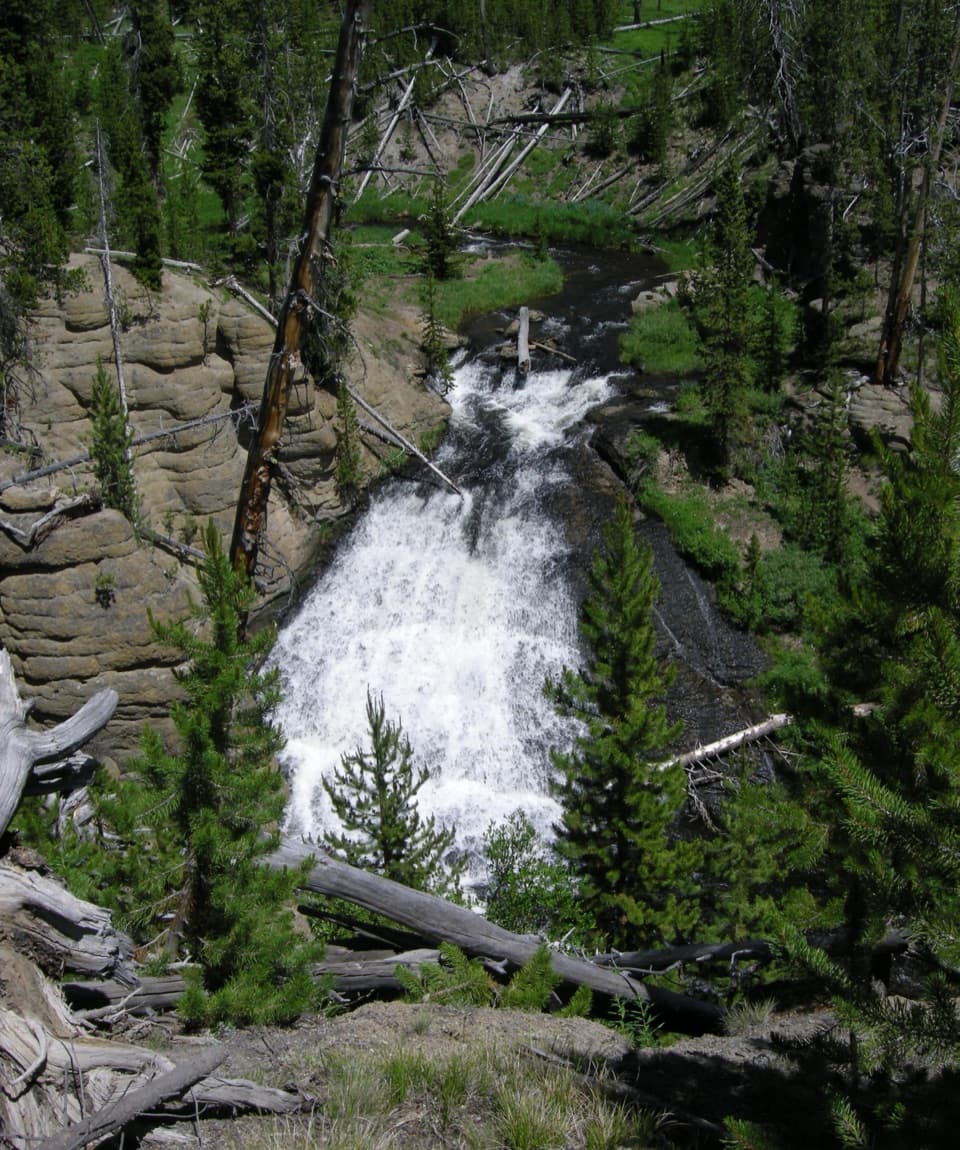 EasyWolf Lake Trail2.4 mi · 1.5 hr · 3.9 mi awayA short waterfall walk through Yellowstone's forest and wet meadows.
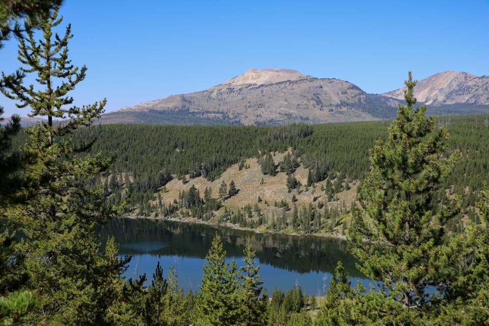 ModerateGrizzly Lake Trail4.2 mi · 3 hr · 5.4 mi awayA creek bridge, steep fire-scarred climb, and lake between ridges.
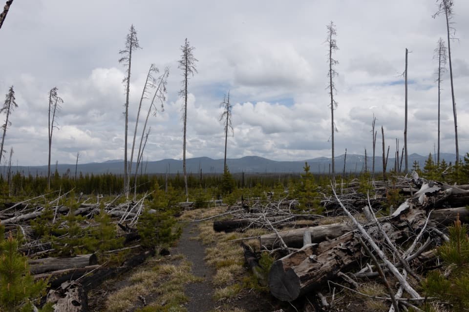 ModerateCygnet Lakes Trail8.2 mi · 3.5 hr · 6.6 mi awayAn exposed lodgepole walk reaches a marshy meadow with waterfowl.
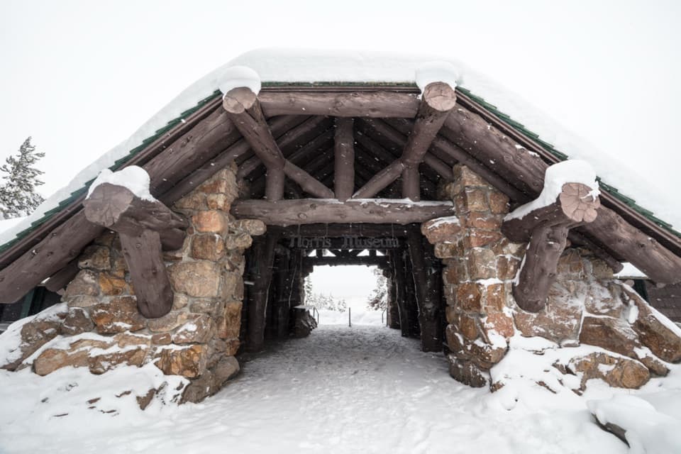 Sight · At the trailheadNorris Geyser Basin Museum and Information StationA 1930 stone and log museum opens onto Norris’s geothermal story.
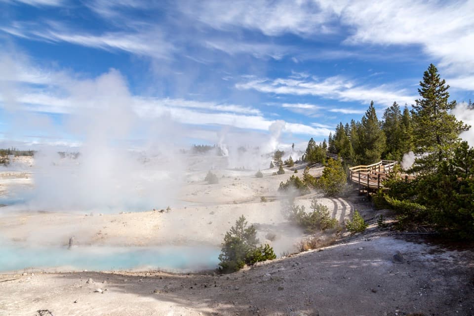 Sight · At the trailheadPorcelain Basin OverlookA short boardwalk reveals changing colors across a thermal basin.
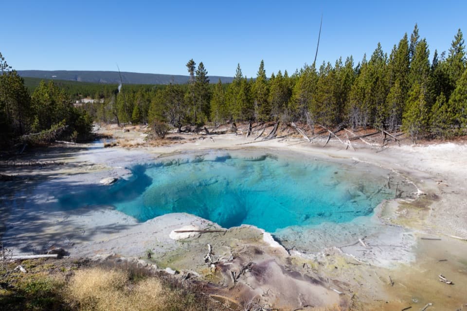 Sight · 0.1 mi awayEmerald SpringSulfur yellow and reflected blue light make this hot spring emerald.
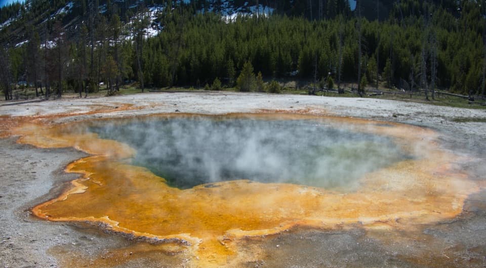 Sight · 0.2 mi awayMinute GeyserA low spout and a cautionary story about visitor damage.
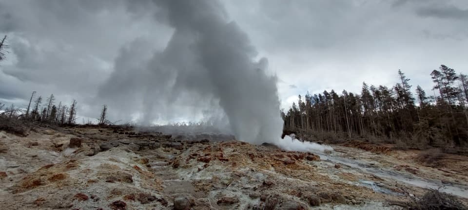 Sight · 0.2 mi awaySteamboat GeyserThe world’s tallest active geyser—and you can’t plan its eruptions.
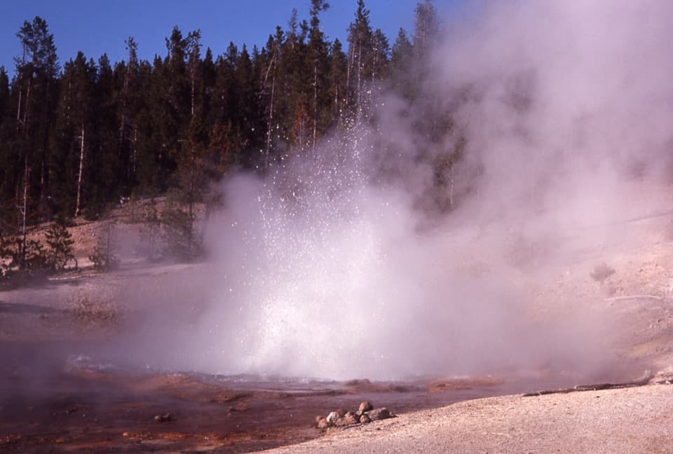 Sight · 0.3 mi awayEchinus GeyserA 66-foot acidic geyser with sea-urchin spines around a red rim.
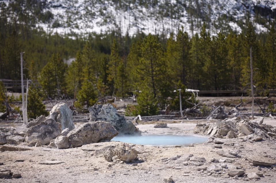 Sight · 0.4 mi awayPorkchop GeyserA quiet pool with a very loud history.
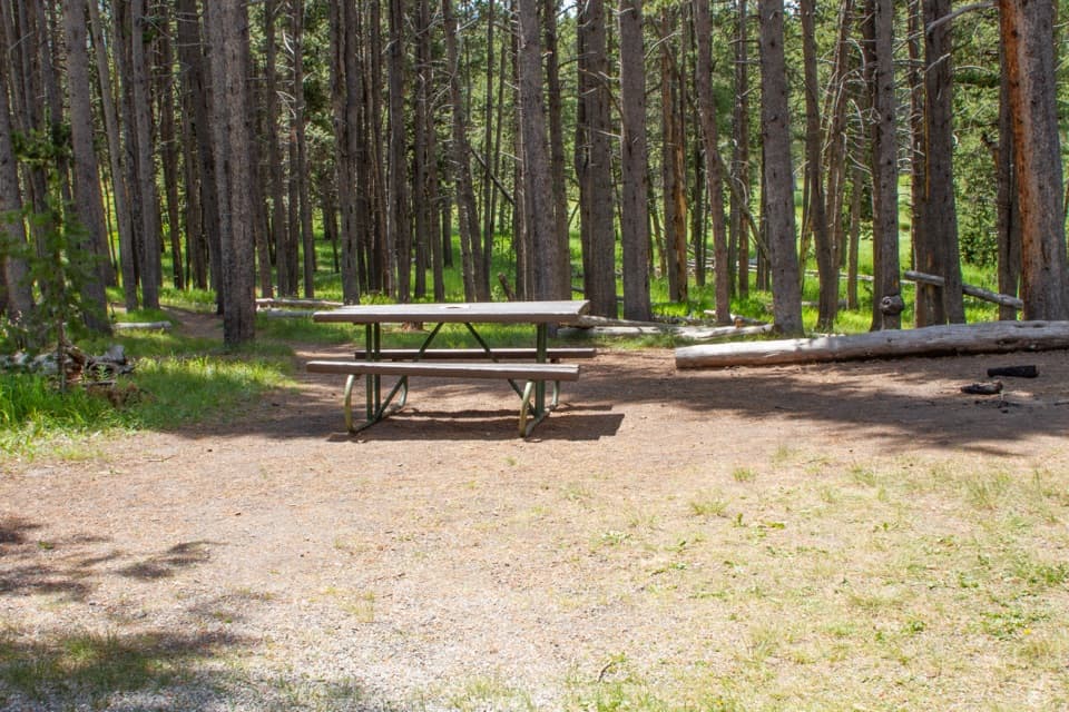 Picnic area · 0.8 mi awayNorris Meadows Picnic AreaA quieter riverside lunch stop near Norris Basin
Parkwolf’s Yellowstone ranking

The audio tour guide for the drive, plus offline maps, trails, and wildlife heatmaps for when the signal drops.





