
Place
Challenging
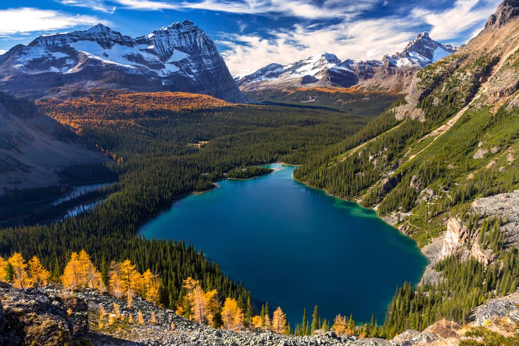
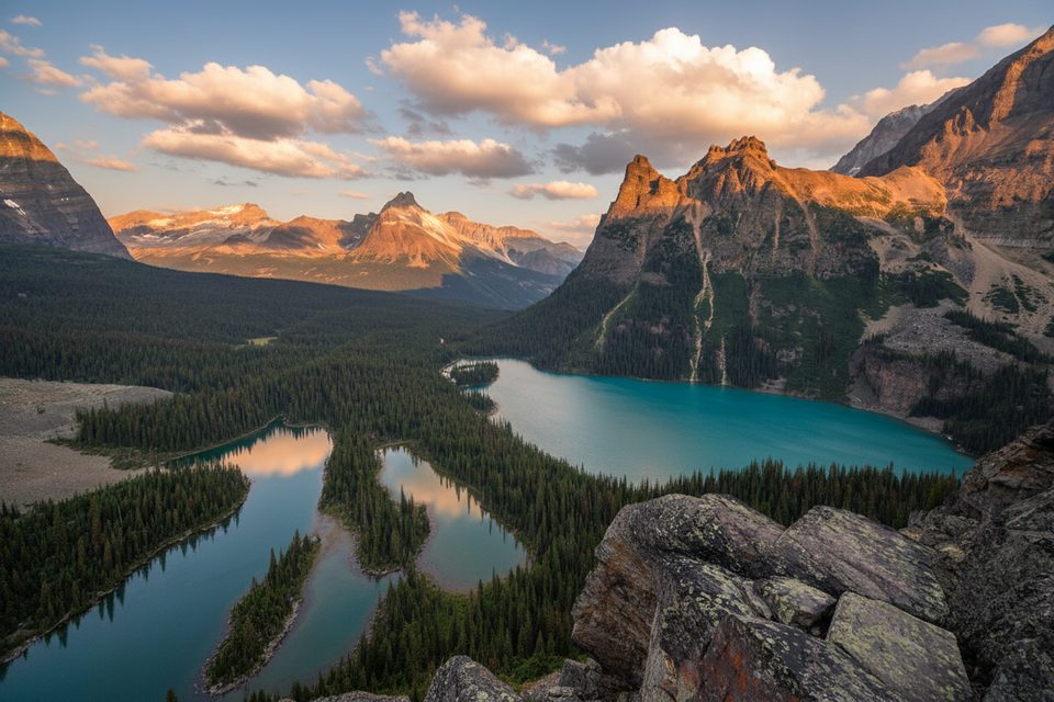
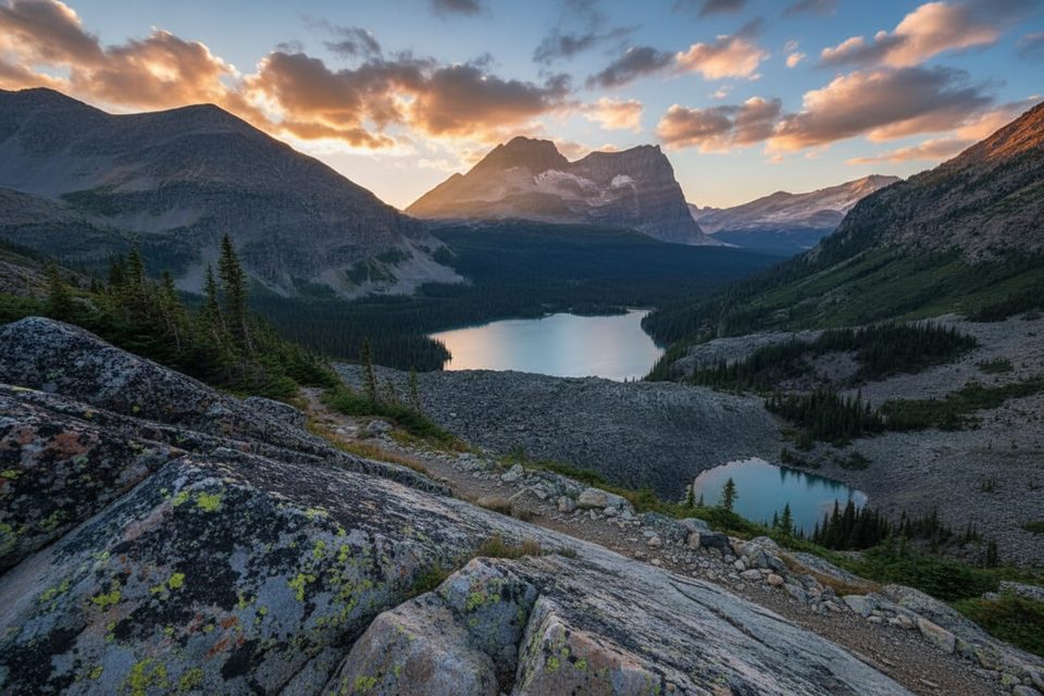
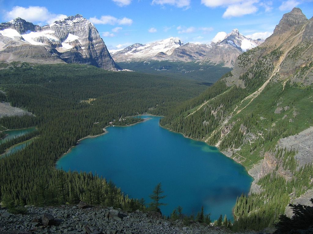
If you want the definitive Lake O’Hara panorama without a mountaineering rack, this is it. The All Souls’ Alpine Route is a short, serious segment of the Lake O’Hara Alpine Circuit with outsized rewards: a perch on All Souls’ Prospect looking straight down to Lake O’Hara, out to Wiwaxy Gap, and across to the banded rock of Mount Huber. Expect classic O’Hara scenery—turquoise lakes ringed by larch forests and serrated peaks—plus real alpine flavor.
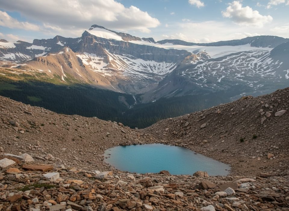
This is a rugged, point-to-point alpine link, not a tidy loop. From the West Opabin Plateau area, the route climbs quickly through rocky steps (including well‑placed stonework) and steeper gravel/scree to the crest. The footing is loose in places and there’s some exposure. From the top, you’ll scan a whole constellation of lakes—Mary, O’Hara, Hungabee, Opabin—set in glacially carved terrain. The descent trends toward Schaffer Lake and on to the Elizabeth Parker Hut/Le Relais area.
Plan 2–3 hours for this 3.4 km segment (about 2.1 miles). Elevation stats are deceptive: it gains roughly 225 m and loses about 410 m, but the steeper scree and exposure demand focus and good footwork.
This is an advanced alpine route with steep drops, loose sections, and lingering early‑season snow in shaded spots. It’s not a good fit if you’re uncomfortable with heights or short on experience. Trekking poles help on the scree; microspikes can be clutch early season.
Late summer into early fall is prime. Snow can stick around into early summer; by fall, larch trees flare gold across the Opabin Plateau and the route is at its photogenic best. If photography matters, many hikers prefer doing All Souls in the morning for favorable light on the crest. Always pack extra layers—alpine weather flips fast.
Access to Lake O’Hara is tightly controlled. Reserve the Parks Canada shuttle well in advance; otherwise you’re walking the 11 km service road before you even start hiking. Navigation on the alpine routes is aided by blue paint markers (two‑line blazes). A popular flow is to approach via West or East Opabin (use one up, the other down), then tackle All Souls. Some hikers prefer descending the looser side of All Souls rather than climbing it.
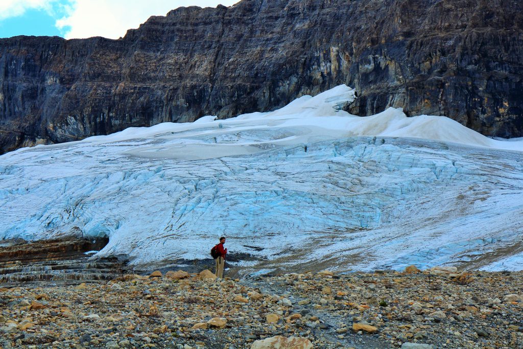
You’re walking a high balcony above a landscape sculpted by ice: hanging valleys, polished bedrock, and banded sedimentary layers are on full display—especially around Mount Huber. Keep an eye out for the larches on Opabin Plateau turning gold in fall; they’re a major part of the show.
If you want big views with different exposure, the Yukness Ledges Alpine Route is another standout segment in the same network and can be paired on a separate day.
Park at the Lake O’Hara parking lot, then take the Parks Canada shuttle (reservation required) or walk the 11 km access road to reach the Lake O’Hara trail network and Opabin/All Souls access.
Steep, exposed alpine terrain with loose scree; lingering early‑season snow; rapidly changing weather. Not suitable for those with a fear of heights or limited experience. Follow blue alpine route markers and carry poles; microspikes may be needed early season.
Place
Place
Place
Place
Moderate
Challenging
Challenging
Challenging

Parkwolf Tour Guide
