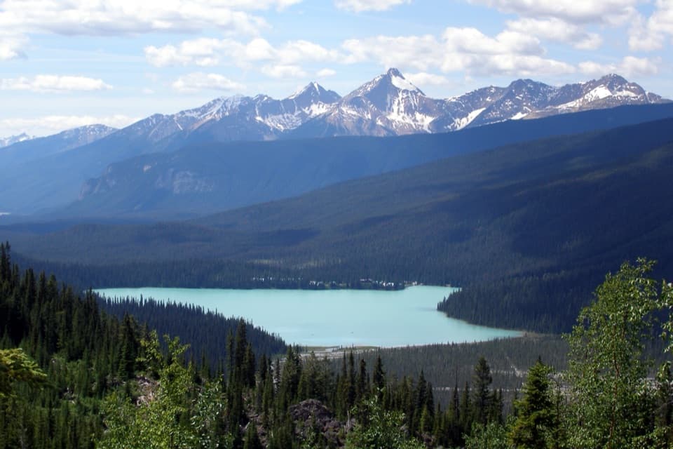
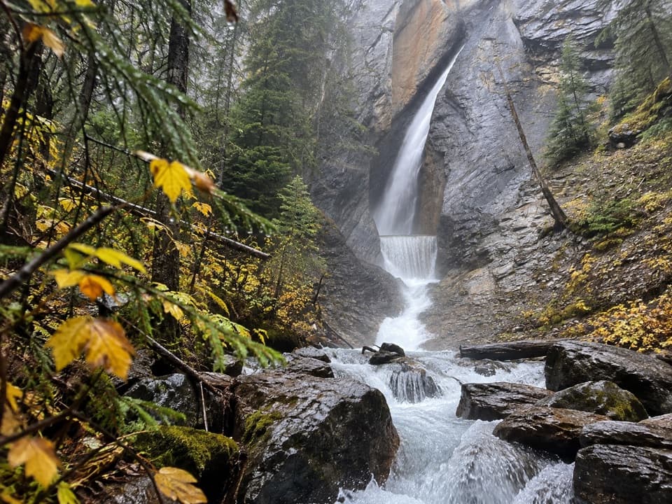
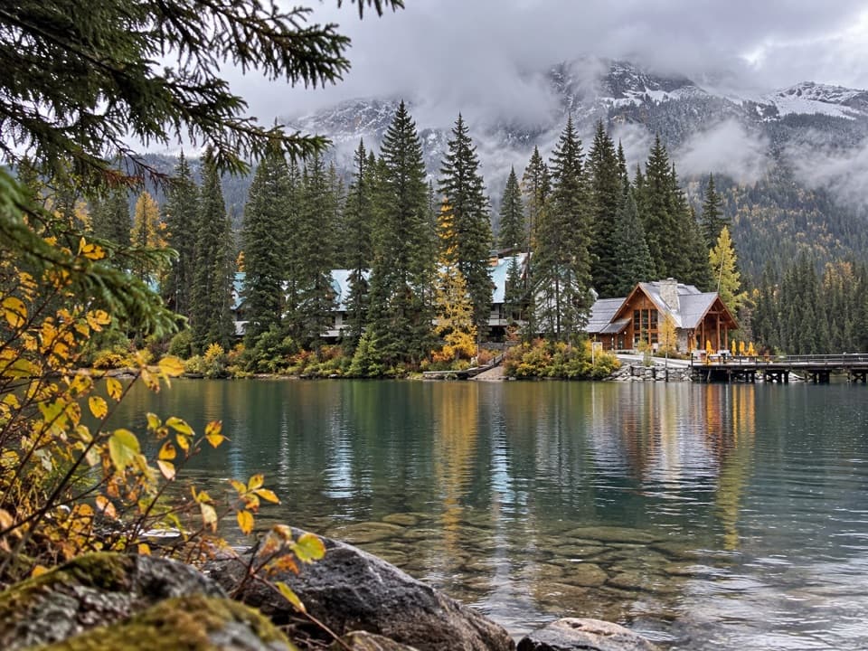
Emerald Lake in Yoho National Park

#1 of 32 sights in Yoho

Sight · Yoho National Park

Emerald Lake

Turquoise water, mountain reflections, and a gentle lakeshore loop.

Photo: Wikimedia Commons
Type
Sight
Nearest trail
0.2 km
Audio stories
1 nearby
  • Trailhead
  • Parking
  • Scenic viewpoint
  • Restrooms

Hear the audio tour

Emerald Lake: Shore, Colour and Lunch

Overview

About Emerald Lake

Why stop

  • Blue-green water and reflected peaks are easy to reach from the shore.

Heads up

  • Very limited parking can mean a long walk from overflow.

Map

Where it is

Loading the Yoho map
Full map
SightEmerald Lake51.44071, -116.54099
Keep this map with you offline in the Parkwolf app

Plan your stop

Before you go

Canoes, food, and facilities

Canoes are available to rent from the lodge on a first-come, first-served basis. Rental prices and access rules change, so check current watercraft rules before planning to paddle or bring a boat. The lodge runs dining rooms and a lounge, a seasonal lakeside restaurant, and a walk-up window for sandwiches, treats, and drinks. Those are lodge businesses, separate from park services. Visitors also report public washrooms near the arrival area, though upkeep and wheelchair access have drawn complaints.

5 active Yoho alerts

  • ClosureYoho Valley Road closed for avalanche seasonYoho Valley Road is closed to vehicles from mid-October to mid-June because of avalanche risk. - Parks Canada’s current trail report lists no vehicle access to trails in the Yoho Valley.Official details
  • CautionWatercraft and angling prohibited in YohoWatercraft use and angling are prohibited on all waterbodies in Yoho National Park until March 31, 2027, to reduce the spread of aquatic invasive species, including whirling disease.Official details
See all 5 alerts
A park ranger sits on a dash-mounted phone, talking, as Parkwolf’s Tour Guide plays “Army Cutworm Moths: A Grizzly Bear Buffet” on Grand Loop Road below Dunraven Pass in Yellowstone
Parkwolf Tour GuideThe highest, rockiest slopes around here are a summer buffet for grizzly bears.

Yoho Tour Guide

Your drive to Emerald Lake, narrated.

Parkwolf is a GPS audio tour guide for Yoho National Park. As you drive, it chimes in with what’s ahead: hidden gems, upcoming stops, history, geology, and wildlife, right through your car’s speakers.

See the Yoho audio tour

Recorded for this place

Emerald Lake: Shore, Colour and Lunch
0:00 / 0:34
“You're approaching Emerald Lake, where a short, level walk to the bridge brings you to the blue-green water and its mountain backdrop. Stop even if you haven't got time for a hike.”

Plays as you drive up to Emerald Lake in the Parkwolf Yoho Tour Guide.

More stories near here in the app

  • The Conifer That Drops Its Needles
  • Yoho Visitor Centre: Fossils and a Useful Break
  • Field: A Bistro Meal or a Quick Restock
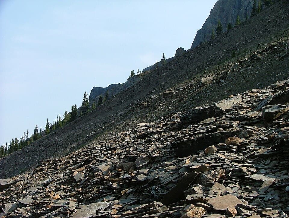
  • How the Rock Layers Got Tilted
  • 35 audio storiesacross Yoho’s roads, triggered by GPS as you drive
  • Wildlife heatmapsfor Grizzly Bear, Mountain Goat, Black Bear, and 13 more
  • Works offlinemaps, 54 trails, 58 places, and audio download before you lose signal
  • CarPlay readysimple controls built for the drive
★★★★★
“Fantastic app with many points of information… It’s great to just turn on while you’re driving and it gives you an audio tour of the national Park. We love it!!!!”
JMJamesApp Store review
Download Parkwolf on the App StoreGet Parkwolf on Google Play

4.7 from 8,600+ ratings

Guide

More about Emerald Lake

What makes it a headline stopEmerald Lake is a mountain-ringed lake in Yoho, reached by the Emerald Lake access road from…

Emerald Lake is a mountain-ringed lake in Yoho, reached by the Emerald Lake access road from the Trans-Canada near Field. Its blue-green water and steep peaks make it one of the park’s defining stops. Go early or later in the day in summer: parking is extremely limited, and a full lot can leave you with a longer walk back from overflow. The shore by the lodge is busiest; keep going around the lake if you want more room and a changing view.

A short approach or a full lapA level gravel path leads from the arrival area to a bridge at the lake.

A level gravel path leads from the arrival area to a bridge at the lake. That’s an easy way to get down to the water without taking on a longer walk. The full lakeshore circuit is 5.2 km with little elevation gain and gives you a different angle as the shore bends around the basin. The path is gentle overall, though recent surface conditions can vary. The short bridge approach is level; don’t assume the whole circuit or the washrooms are wheelchair-accessible without checking first.

Why the water looks emeraldFine rock flour, ground from bedrock by glaciers and carried in meltwater, stays suspended in…

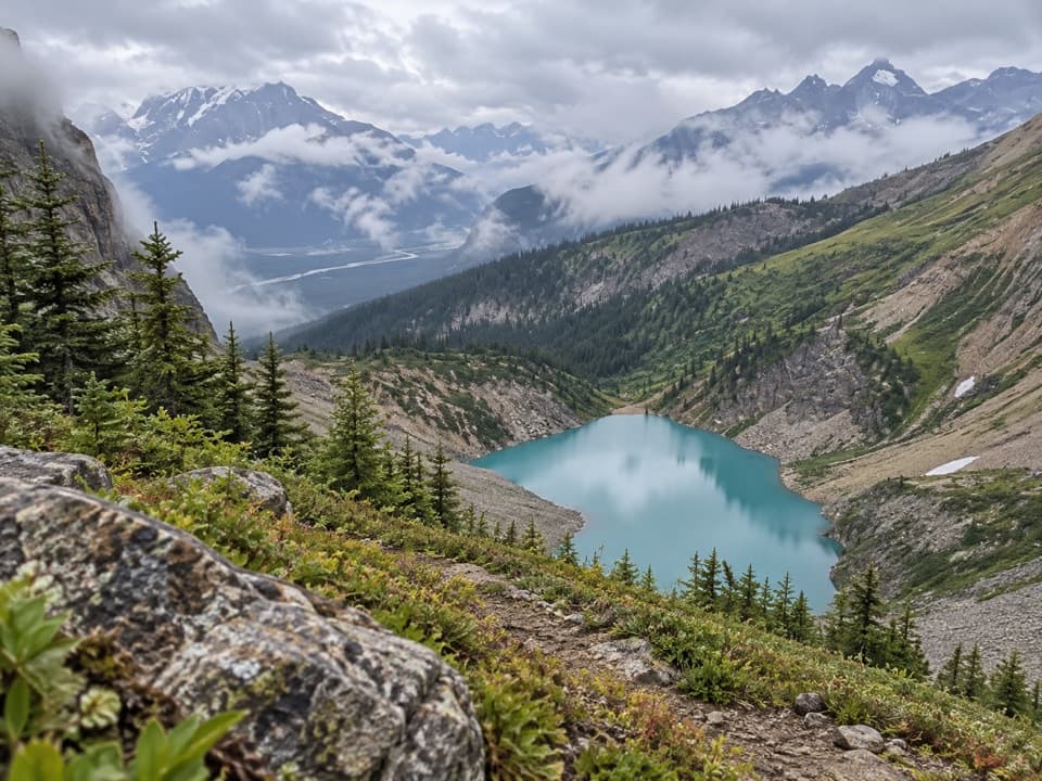
Fine rock flour, ground from bedrock by glaciers and carried in meltwater, stays suspended in the lake and scatters blue-green light back to you. The shade changes with the light and the water’s surface; on a still day, the surrounding forest and peaks double in the reflection.

Peaks and wildflowersThe lake sits beneath Mount Burgess, Wapta Mountain, and the President Range.

The lake sits beneath Mount Burgess, Wapta Mountain, and the President Range. On the northeast shore, a broad alluvial fan spreads down toward the water; its wildflowers are especially noticeable in late June and early July. That open slope gives you a break from the dark forest that lines much of the shore.

A name from the railway eraStoney guide Edwin Hunter led railway packer Tom Wilson to the lake in 1882.

Stoney guide Edwin Hunter led railway packer Tom Wilson to the lake in 1882. Wilson named it Emerald Lake for the colour of the water.

Find the reflectionThe classic view is from the near shore, where the lake opens toward the mountain wall.

The classic view is from the near shore, where the lake opens toward the mountain wall. Frame the peaks with a little water and forest in front so the reflection reads clearly. The lakeshore loop gives you more angles than the busy lodge end, and the view changes as the shoreline turns.

Wildlife

Wildlife in Yoho

All Yoho wildlife maps

Sighting maps show where each species has been reported across Yoho. Wildlife moves, so no sighting is guaranteed.

Keep exploring

Near Emerald Lake

See it all on the map

Trails nearby

More stops nearby

Parkwolf’s Yoho ranking

Top sights in Yoho

All 58 places
  1. 2Takakkaw FallsSight
  2. 3Natural BridgeSight
  3. 4Lake O’HaraSight
  4. 5Lower Spiral Tunnel ViewpointSight
  5. 6Wapta FallsSight
  6. 7Walcott QuarrySight

Take Parkwolf to Yoho.

The audio tour guide for the drive, plus offline maps, trails, and wildlife heatmaps for when the signal drops.

4.7 from 8,600+ ratings

Download Parkwolf on the App StoreGet Parkwolf on Google Play