
Place
Challenging
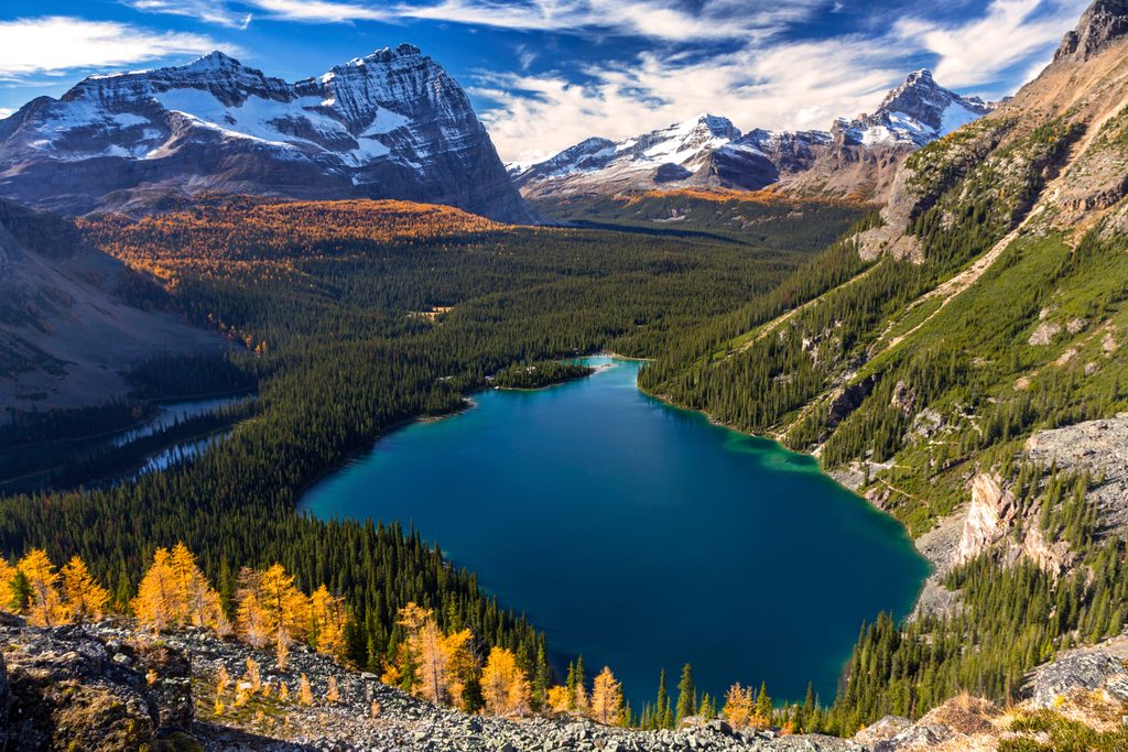
If you want Yoho without the crowds, this is it. The Amiskwi Valley Trail follows the Amiskwi River through a broad, forested valley with occasional meadows and big-mountain backdrops, then works toward Amiskwi Pass. It’s a true backcountry route: unmaintained, lightly traveled, and wonderfully quiet.
Expect a point-to-point journey of roughly 34–36 km (about 21–22.5 miles) one way with moderate cumulative elevation. Most hikers take 2–3 days, though strong parties sometimes push it in a long single day. If you’re not up for the full traverse, a commonly walked section (e.g., Yoho Lake Campground to the meadow behind Amiskwi Lodge) is about 16.6 km with rolling ups and downs—enough to sample the valley’s character without committing to the entire route.
Trail character: this is classified by Parks Canada as unmaintained. Translation: roots, mud, occasional blowdown, faint tread in spots, and sparse signage. Some bridges may be missing; plan for stream fords and wet feet. Navigation savvy (map/GPS) is recommended, and you should be comfortable being self-sufficient. The tradeoff is solitude, old-growth forest pockets, mossy groundcover, summertime wildflowers, and the chance to spot wildlife in a quiet valley.
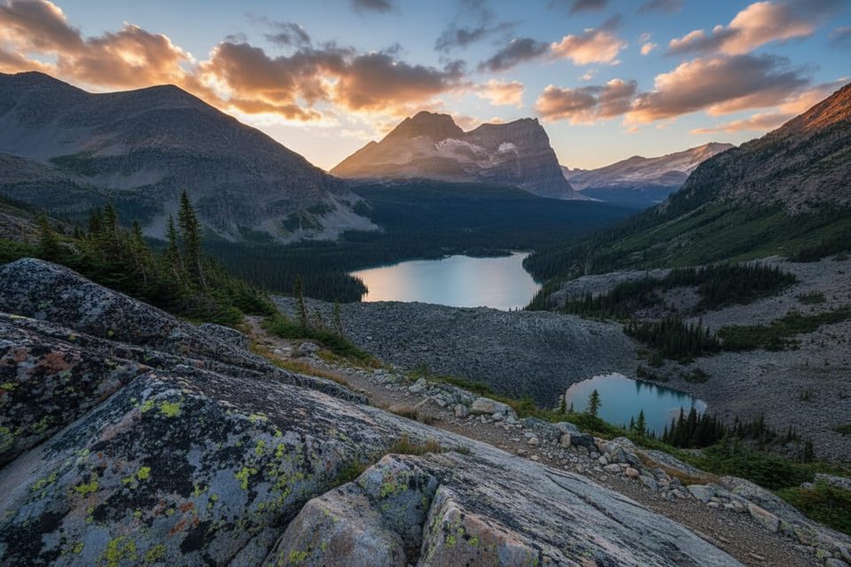
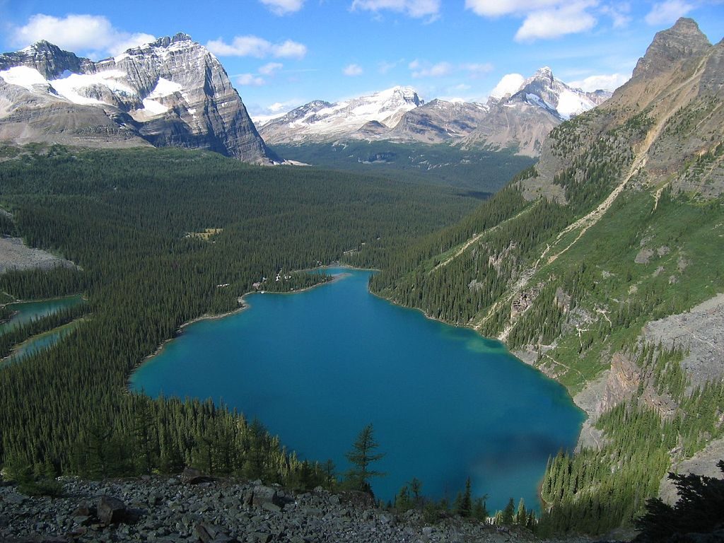
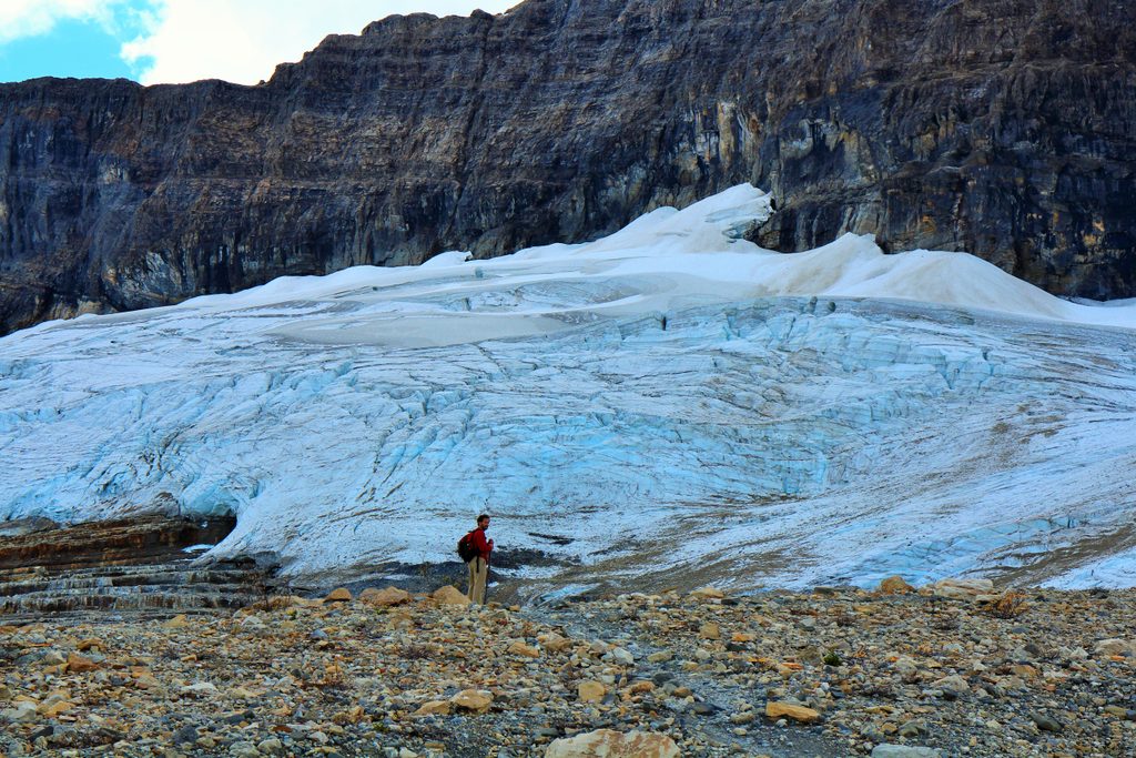
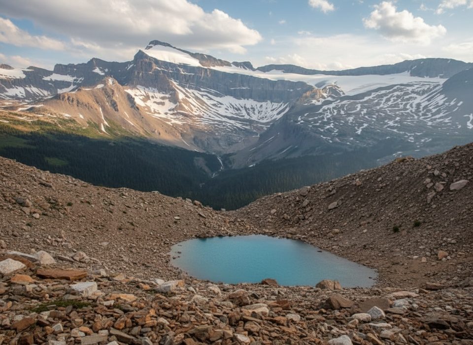
Geology and nature: you’re walking classic Rockies terrain—glaciated peaks, layered sedimentary slopes, and a river-carved valley floor that nurtures dense subalpine forest and open meadows. Keep an eye out for deer, bears, and plenty of birdlife along the river corridor.
Who will love it: experienced, self-reliant hikers who value remoteness and don’t mind rough conditions. If you prefer groomed, viewpoint-packed trails, consider marquee options like the Iceline instead; Amiskwi trades polished tread for wilderness feel.
Best time to hike: summer through early fall (mid-June to early October) when snow is gone and water levels are more manageable. Shoulder seasons can mean lingering snow, saturated tread, and high/impassable creek crossings. Start early for cooler temps and steadier footing on wet sections, and always check current Parks Canada advisories before heading out.
Logistics and tips
Bottom line: underrated if you crave wild valleys and don’t need perfect tread. Overkill if you just want easy alpine views.
Commonly approached from the Natural Bridge parking area on Emerald Lake Road; confirm current access and any closures with Parks Canada.
Unmaintained route with faint tread, blowdowns, mud, and unbridged stream crossings; water can be high in shoulder seasons. Prime bear habitat—carry spray and practice safe food storage. Bring map/GPS and be fully self-sufficient.
Place
Place
Place
Place
Moderate
Challenging
Challenging
Challenging

Parkwolf Tour Guide
