
Place
Challenging
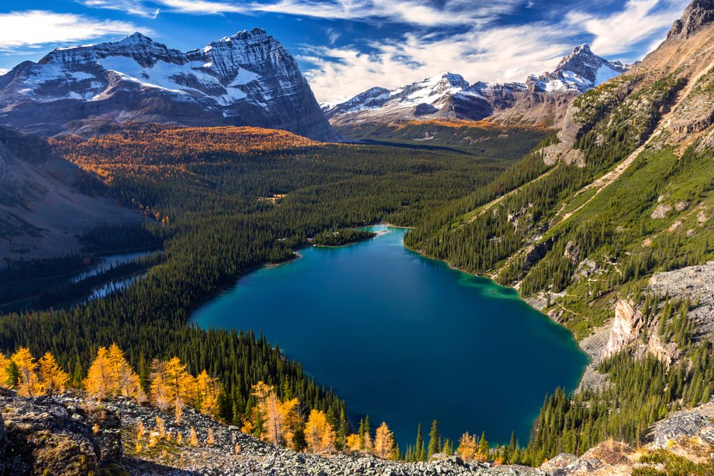
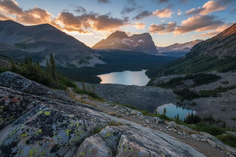
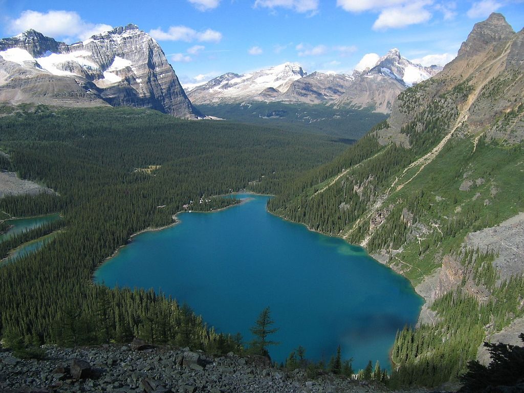
This is a demanding, high-reward Rocky Mountain climb with a side of world-class paleontology. Expect sustained switchbacks through forest that break into sweeping views over Field, the Van Horne Range, and the sheer east face of Mt. Burgess. Near the pass you’ll get the money shot: a high perch above brilliant Emerald Lake.
Length-wise, plan for about 7.3 km (4.5 mi) one-way to Burgess Pass. Most hikers either do it as a strenuous out-and-back (about 9 mi total) or fold it into the Emerald Triangle loop around Emerald Lake (about 19 km/12 mi total). Elevation gain is serious—up to ~900 m (2,953 ft) on the bigger loop—and the trail earns its “difficult” label.
Why it’s special: the route passes beneath the protected Burgess Shale fossil beds—part of a UNESCO World Heritage Site preserving 508‑million‑year‑old life. You can’t enter the quarries unless you’re on a Parks Canada guided hike, but you’ll see signage and get great context from the trail corridor itself. It’s a rare chance to brush up against deep time while knocking out a big mountain day.
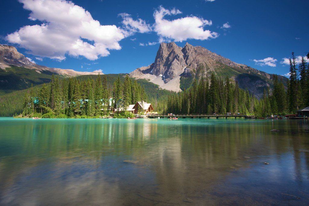
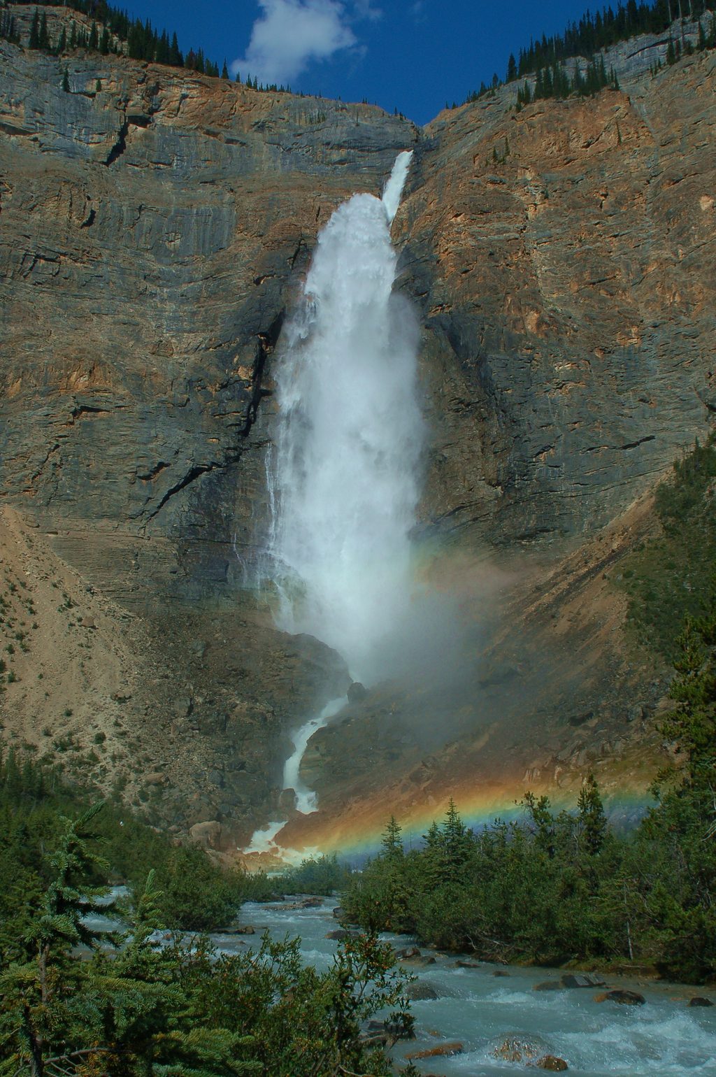
Route options and flow: most people start at Emerald Lake parking (park pass required). Clockwise on the Emerald Triangle gives you a more gradual climb via Yoho Pass and a steeper, knee‑testing descent down the Burgess side. Look for a short side path near the Burgess Pass junction—an excellent Emerald Lake overlook. The trail also sees use in longer point‑to‑point itineraries; if you connect onward (e.g., toward Takakkaw Falls), arrange a shuttle.
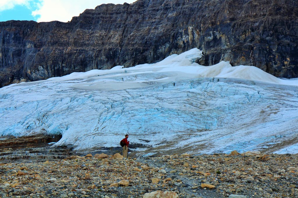
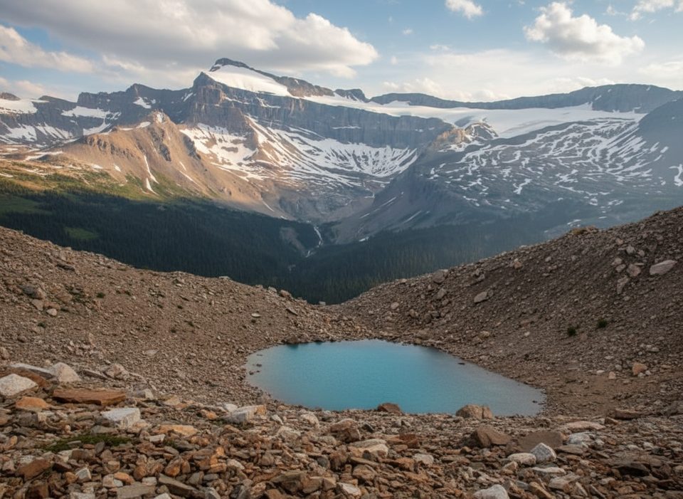
Trail character: well‑built switchbacks, forested sections, airy viewpoints, and a high traverse that brushes avalanche slopes and crosses glacially built features like the alluvial fan at Emerald Lake’s head. Conditions can change fast; floods and avalanches sometimes nudge the route—follow signage closely, especially near water crossings and fan areas.
Best time to hike: late June through September when snow is mostly gone. Earlier/later can mean lingering snow and sketchy travel at higher elevations. Summer aligns with guided fossil hikes if you want to book one.
Tips: bring plenty of water and calories; consider a filter if you’re routing via Yoho Lake on the loop. Expect a full day and big effort. If you’re here mainly for fossils, a guided trip is the only way into the quarries—reserve early. If you want similar views with a shorter day, consider staying low around Emerald Lake; if you want bigger alpine, include the Wapta Highline segment.
Park at Emerald Lake parking (park pass required). An alternate access exists near Field via a short dirt road off the Trans‑Canada Highway.
Steep, sustained climbing; avalanche slopes and glacial features nearby. Floods/avalanches can reroute sections—follow signage, especially across the alluvial fan and water crossings. Weather shifts quickly at elevation. Entry into Burgess Shale quarries is prohibited unless on a guided trip.
Place
Place
Place
Place
Moderate
Challenging
Challenging
Challenging

Parkwolf Tour Guide
