
Place
Moderate
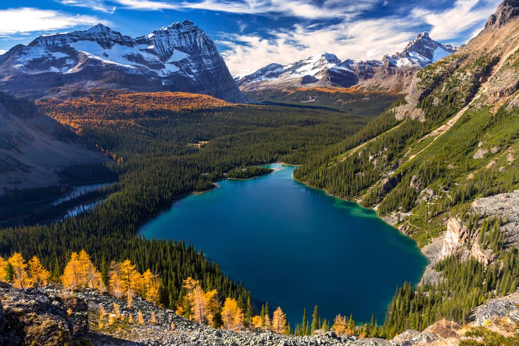
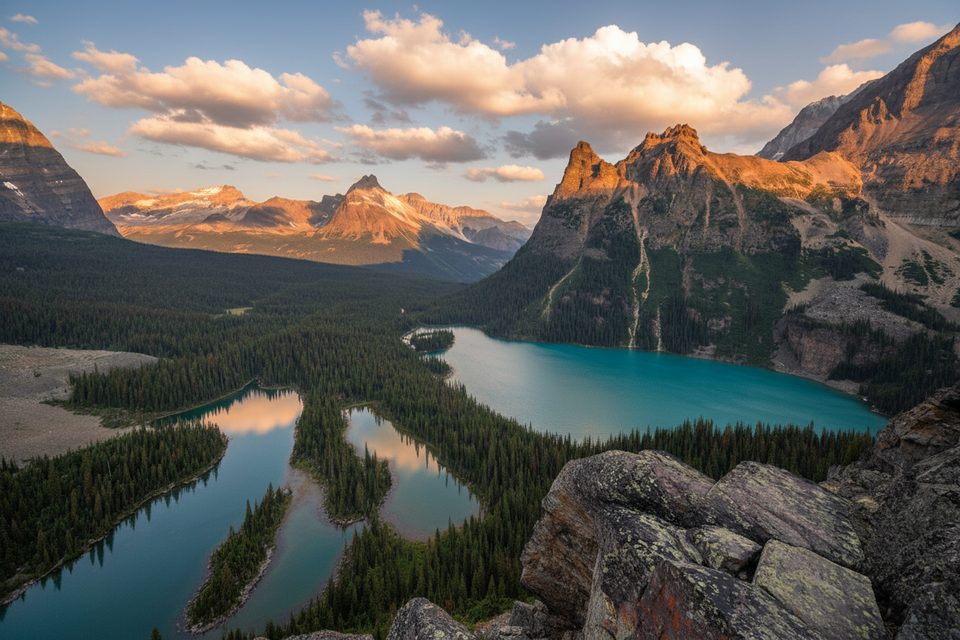
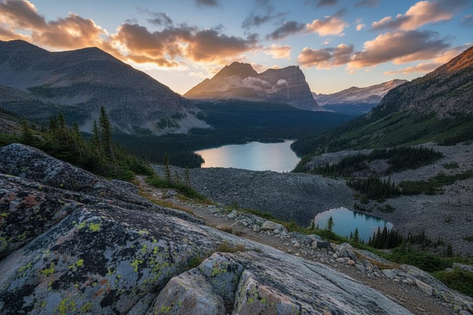
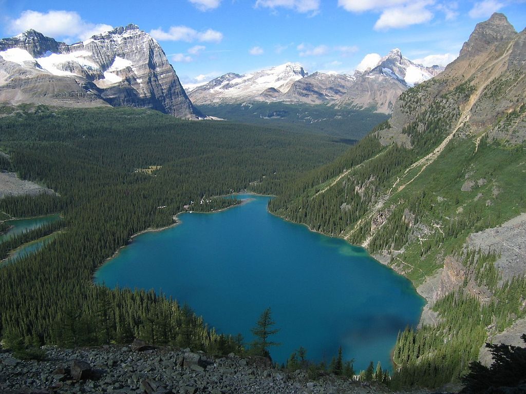
If you’re after Lake O’Hara beauty without the crowds, this one quietly delivers. Think subalpine meadows, mature forest, and photogenic lakes—Lower Morning Glory and nearby Linda Lake—backdropped by big alpine walls. Reviewers consistently call out the solitude here, even in peak season.
Most hikers start near Elizabeth Parker Hut and head through meadows and forest to Lower Morning Glory Lake. It’s about 3.5 km (2.2 mi) one way from the hut to Lower Morning Glory Lake, with roughly 140 m of elevation gain. From there, you can keep it simple as an out-and-back or fold the trail into the broader Lake O’Hara network. A short, steep “Beeline” spur (~300 m) links up to Linda Lake, and junctions connect toward Duchesnay Basin and Cataract Brook before returning toward the Lake O’Hara campground. Expect varied terrain and a ridge rounding that splits the O’Hara valley from Duchesnay Basin.
Access is the crux: this is inside the restricted-access Lake O’Hara area, so plan on a shuttle bus reservation or a long approach hike. It’s far more rewarding if you’re staying at the Lake O’Hara campground or nearby huts; day-trippers on the shuttle often won’t have enough time to explore comfortably. Trails are generally well-marked, but recent signage has quirks—distances/elevations aren’t posted at junctions, and “Beeline” appears on signs even when it’s not on some maps—so carry a map and pay attention at intersections. Conditions shift fast in the Rockies; pack layers and rain gear, and expect wet meadows or mud after rain. Wildlife sightings are more likely here precisely because it’s quiet—give animals space.
Distance and time vary with how much of the network you link. As a ballpark from reports: the Morning Glory segment alone can take 2–3 hours one way, while beefing it up with Linda Lake and other add-ons can push the outing to a full day.
Summer (July–September) is prime—snow is gone, wildflowers pop, and the lakes are fully thawed. Early fall brings crisp air and color, but shoulder-season weather can flip quickly. Start early to stay ahead of any afternoon changes and to keep the lakescape peaceful.
No drive-up trailhead. Start near Elizabeth Parker Hut in the Lake O’Hara area, reached via the Lake O’Hara shuttle reservation or by hiking the long access road; plan your transport before you go.
New signs may lack distances/elevations and include the “Beeline” name not shown on some maps—carry a map and watch junctions. Weather turns quickly; expect wet/meadow mud. Bears are present.
Place
Place
Place
Place
Moderate
Challenging
Challenging
Challenging

Parkwolf Tour Guide
