
Place
Challenging
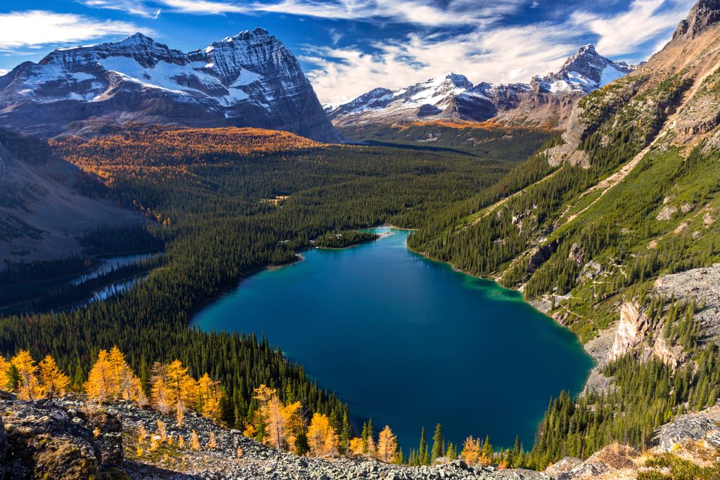
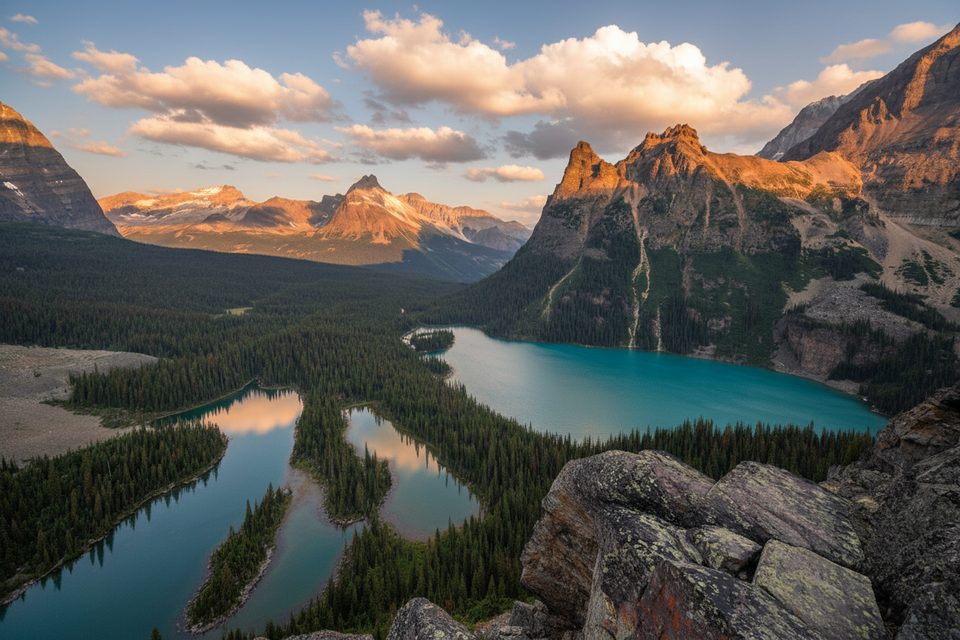
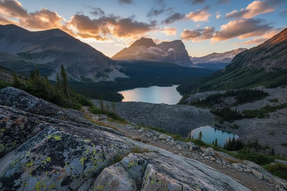
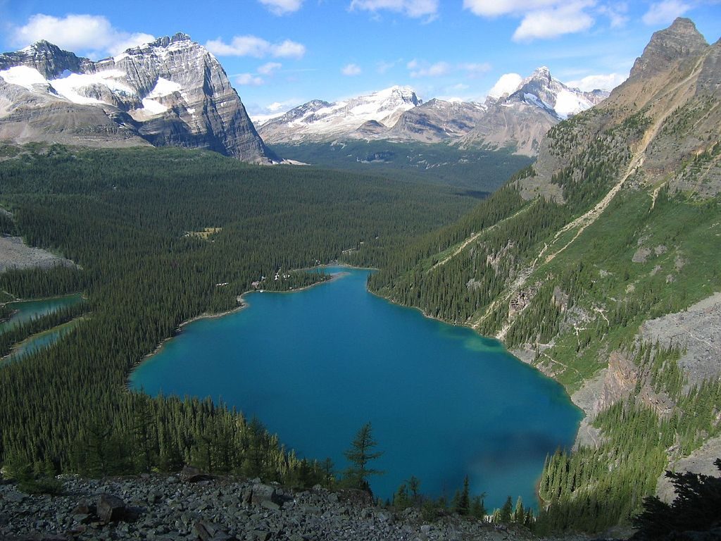
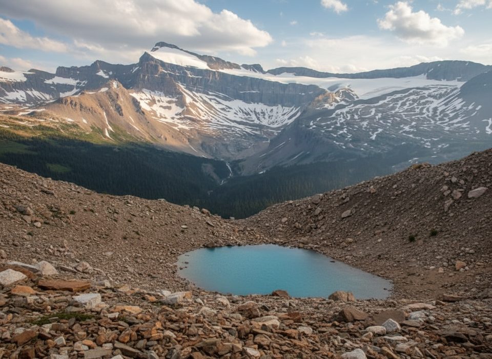
If you came to Lake O’Hara for the big views, this is the one. Odaray Grandview delivers a birds‑eye sweep of Lake O’Hara, Lake McArthur, the full Alpine Circuit, hanging valleys, and turquoise tarns—classic Rockies scenery with real “top of the world” vibes. Access is intentionally limited to protect a key wildlife corridor, so it often feels quieter and more special than other O’Hara viewpoints.
Most hikers start in the Lake O’Hara core area and head toward Schaffer Lake/McArthur Pass, then branch onto the Odaray Highline for the climb to Grandview. Expect a pleasant forest and meadow warm‑up, then a sharp, sustained ascent above treeline on rocky, sloped tread with steep scree slopes above and below the path in places. Painted rock markers guide the way, though they can feel sparse near the high shoulder, so keep your eyes up for the next blaze.
Plan about 5.0 miles round‑trip for the Odaray‑only outing from the Lake O’Hara area (7–8.5 km RT, depending on your exact approach). The core Grandview spur itself is short—about 1.2 km one‑way from near McArthur Pass—but you need to reach that junction first. Total elevation gain from O’Hara commonly lands in the 1,600–1,800 ft range equivalent reported by hikers for the full approach; grades exceed 20% in the upper pitches. It’s a stout but manageable climb for strong hikers.
You must first reach the Lake O’Hara area: either reserve the Parks Canada day‑use shuttle or walk the 11 km access road (bikes not permitted). The Odaray Highline/Grandview corridor is a sensitive wildlife route with a voluntary cap of four hiking groups per day. There’s a sign‑in at the start of the Highline—if four groups have already registered, choose another trail. Many hikers combine Grandview with Lake McArthur from the same junction, but if you’re prioritizing views, do Grandview first.
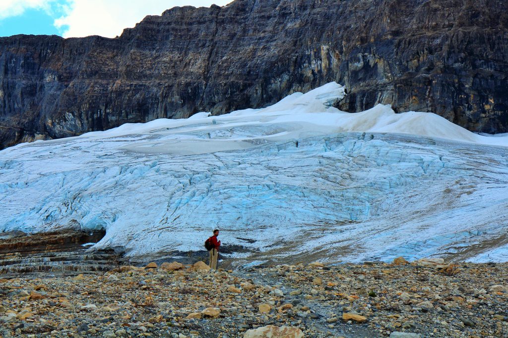
Above treeline the landscape opens wide: serrated peaks, glaciated walls, visible waterfalls, and that signature lineup of teal lakes below. The Grandview perch lives up to its name—bring layers for the breeze and linger if the weather allows.
Mid‑July through September offers the most reliable, snow‑free travel and stabler weather. Start early to grab a spot under the daily group limit, enjoy calmer conditions, and avoid typical afternoon mountain turbulence. In clouds or storms, visibility drops fast and the exposed slope feels spicier—save it for a clear window.
Reach the Lake O’Hara area via the Parks Canada shuttle (reservation required) or by walking the 11 km access road; private vehicles are not allowed beyond. The Odaray Highline sign‑in is near the Le Relais/Elizabeth Parker area before you head up toward McArthur Pass.
Sensitive wildlife corridor with a voluntary 4‑group daily limit; sign in before proceeding. Expect steep grades, sloped tread with scree exposure, fast‑changing alpine weather, and occasional sparse markers near the top. No bikes; follow park rules (including no drones).
Place
Place
Place
Place
Moderate
Challenging
Challenging
Challenging

Parkwolf Tour Guide
