
Place
Challenging
This is a remote, seldom-traveled traverse through the Ottertail Valley to Ottertail Pass and down toward McArthur Creek. The full point-to-point route between Kootenay’s Paint Pots trailhead and the Trans-Canada near the Ottertail River in Yoho is roughly 40 km (about 25 miles) one way. Very strong parties have done it in a long single day; most hikers should budget two days or more.
The trail is largely unmaintained. Expect long stretches of faint or overgrown tread, vague routing along riverbanks and cut banks, and occasional scrambling or reroutes—especially when water is high. Reports note the first three-quarters are generally navigable, with the final kilometers being the slowest and most confusing until the tread improves near the Ottertail Falls junction. Wayfinding at junctions (particularly where the Ottertail Pass route meets the Ottertail Falls trail and the nearby Goodsir Pass junction) is notoriously subtle.
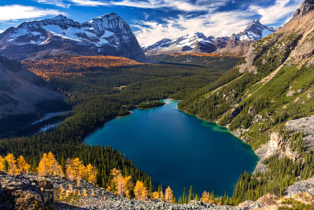
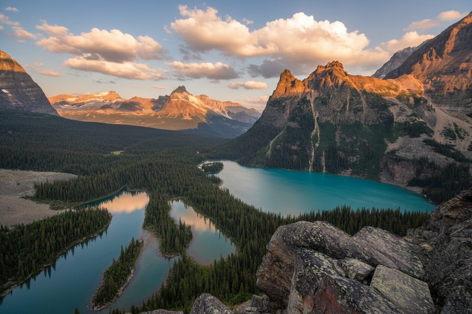
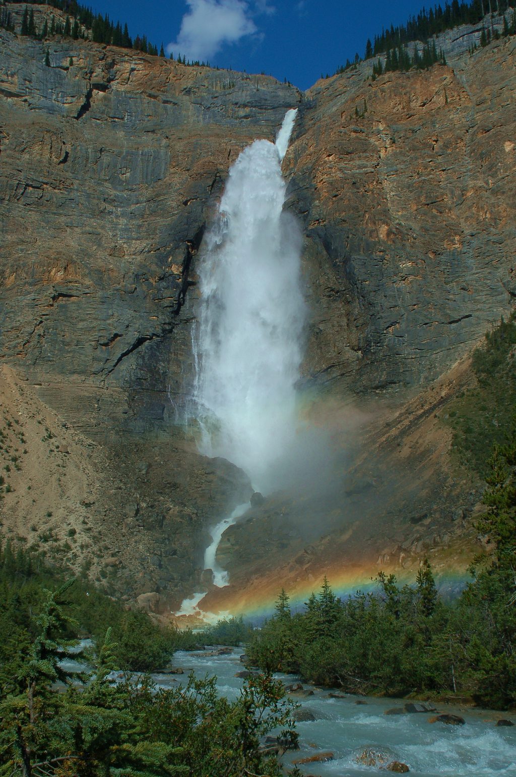
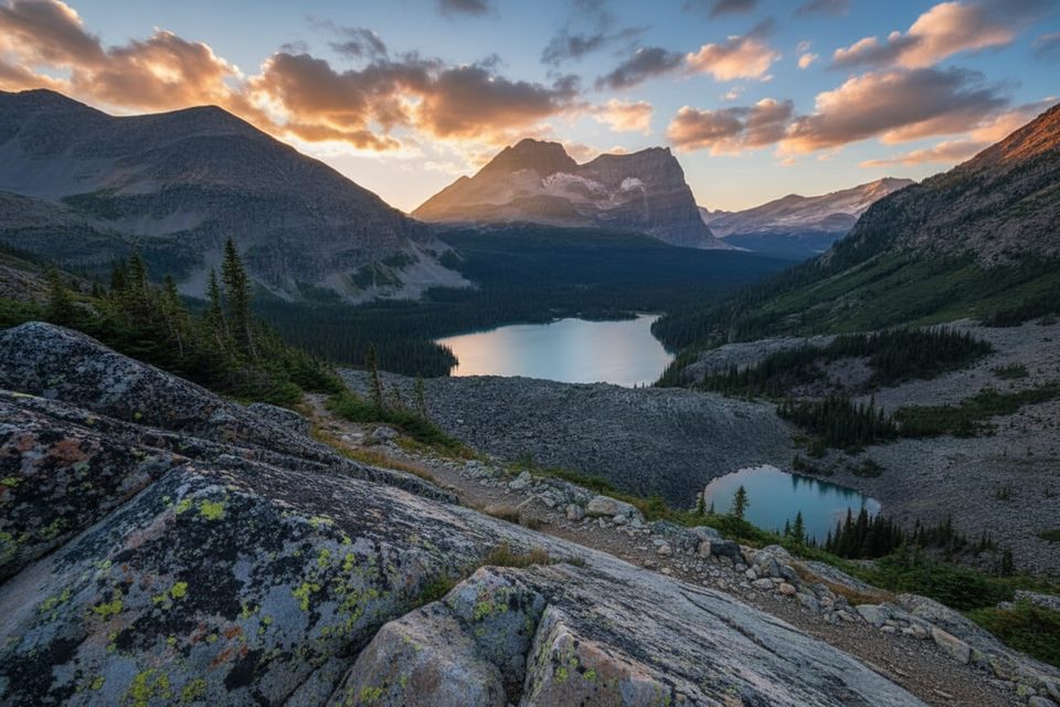
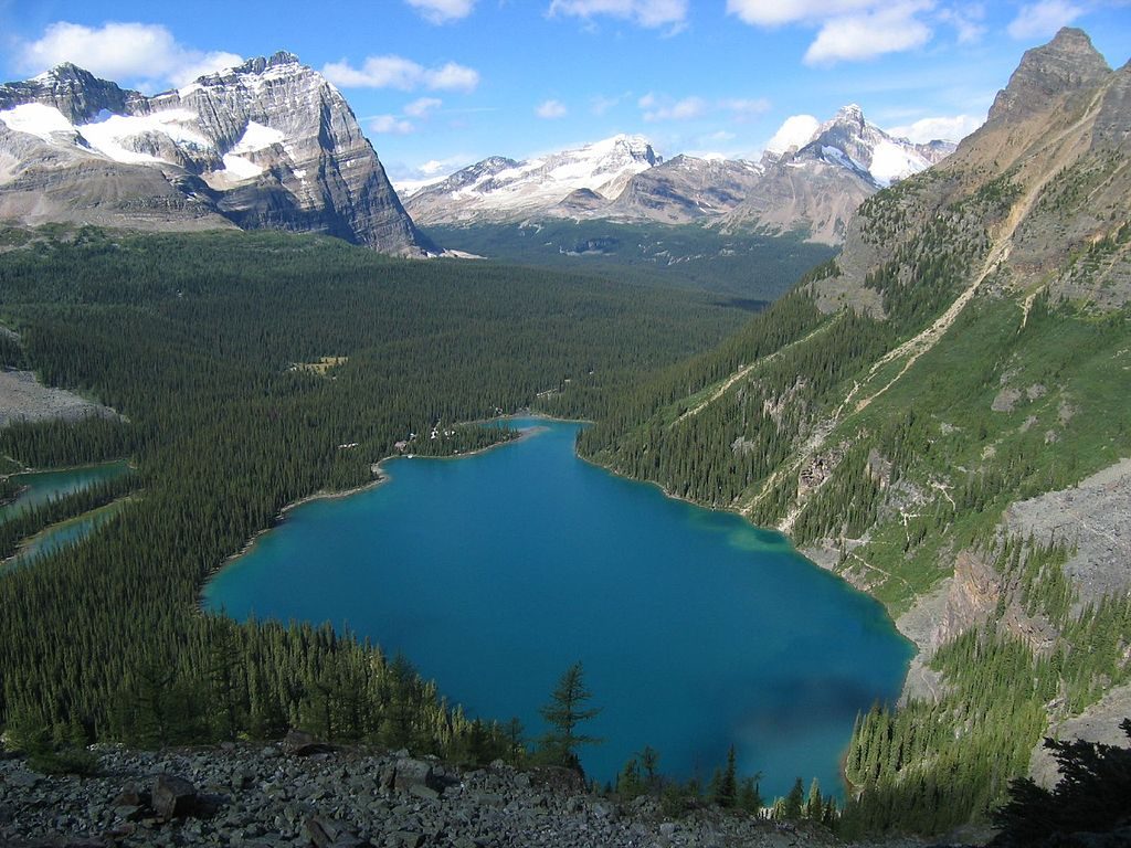
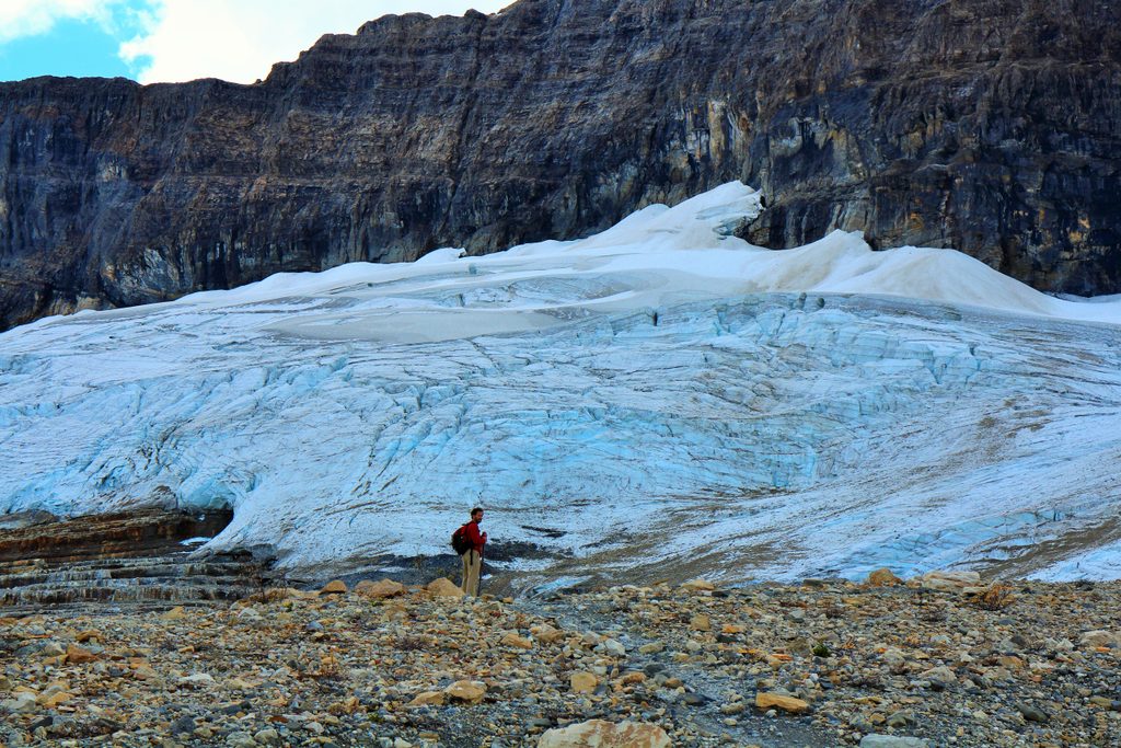
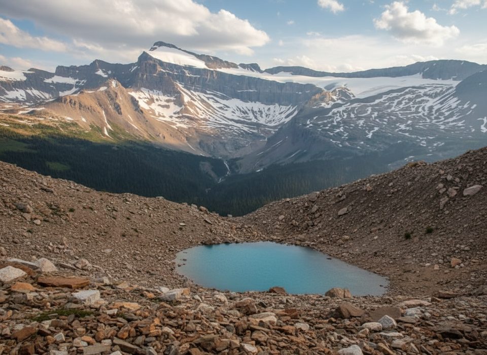
It’s raw Continental Divide country: layered sedimentary cliffs, glacial outwash flats, dense valley forest, and subalpine meadows near the pass. The Ottertail Valley’s river corridor alternates between gravel bars, bluffs, and shaded riparian stretches. Near the Yoho end, Ottertail Falls provides a worthy finale if you’re coming from the pass.
There’s a primitive backcountry campground just west of Ottertail Pass with a bear-hang cable, and reports mention a few small sites along the corridor. The route links into the Goodsir Pass corridor and the broader Great Divide Trail network; some parties tackle only the Yoho-side segment (e.g., Ottertail Valley to McArthur Creek at about 15 km one way) rather than the full cross-park traverse.
This is serious backcountry travel that rewards strong navigators who want solitude and are comfortable moving slowly through brushy, indistinct trail. If you prefer a clear, maintained path, choose a different objective in Yoho.
Mid-July through September is the safe window, after lingering snow has melted from the pass and river levels typically run lower. Expect sudden weather shifts any time—rain, cold, even summer snow squalls at elevation.
Carry detailed topo maps and GPS with key junctions pre-marked. Plan extra time—progress can be surprisingly slow in the rougher sections. This is prime bear country: travel in a legal group size if required, make noise, and use food storage systems at camp. Practice Leave No Trace—this corridor sees very light use and stays wild because of it.
Park at the Ottertail Parking lot for the Ottertail Valley approach.
Unmaintained, overgrown sections with difficult navigation; subtle junctions near Ottertail Falls/Goodsir Pass; river crossings and cut banks that become hazardous in high water; minimum group-size rules may apply in the Ottertail Valley—check current park bulletins.
Place
Place
Place
Place
Moderate
Challenging
Challenging
Challenging

Parkwolf Tour Guide
