
Place
Moderate
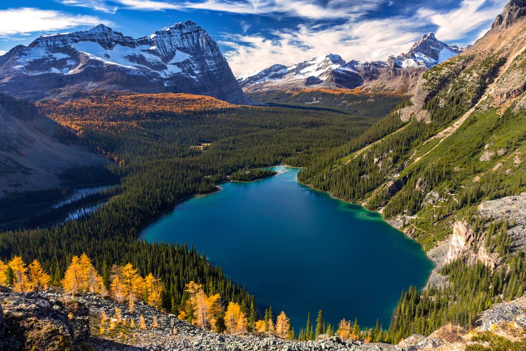
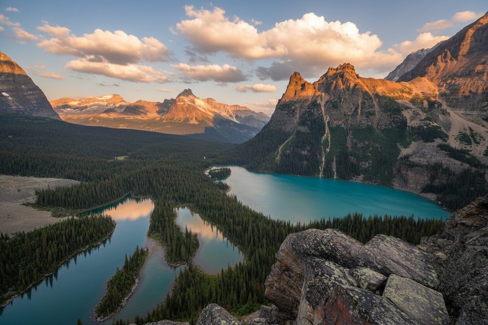
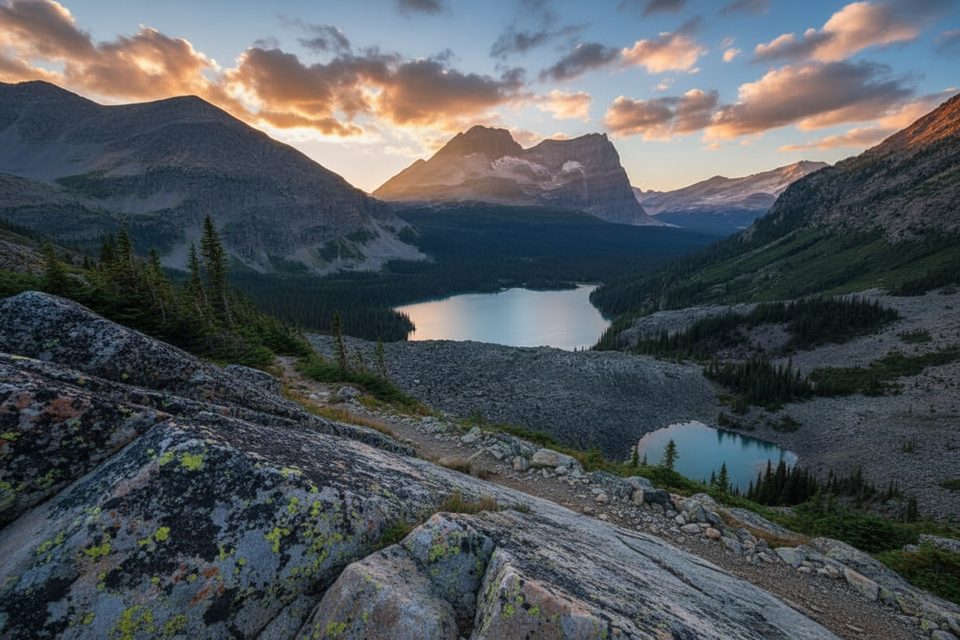
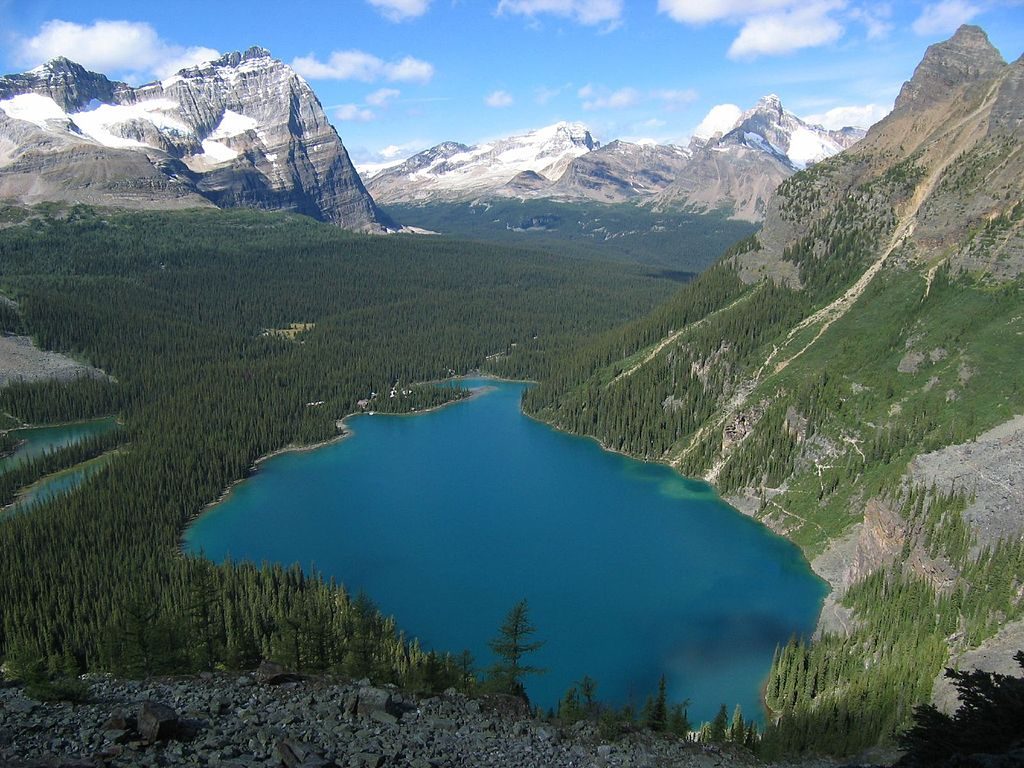
The West Opabin Trail is the most view-forward way to reach Yoho’s famed Opabin Plateau. It climbs from the Lake O’Hara basin along Mary Lake, then tackles a steep, rocky talus/boulder slope before spilling onto high meadows, turquoise lakes, and sweeping mountain backdrops. Compared with its eastern counterpart, the west side is more open—translation: bigger vistas, better photos.
Most hikers treat this as an out-and-back to Opabin Prospect: about 3.2 miles total and roughly 2 hours, leaving time to linger at viewpoints. If you want variety, ascend West Opabin and descend East Opabin as the Opabin Plateau Circuit (about 3.7 miles total). Strong hikers often extend the day to Opabin Lake or link to other signed routes on the plateau.
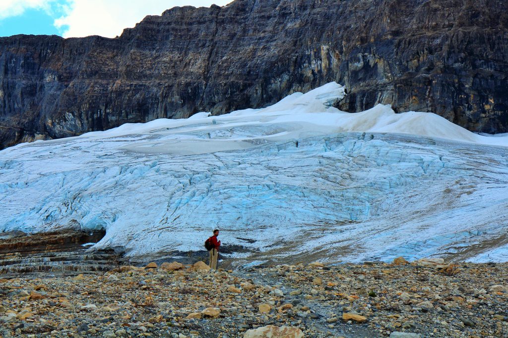
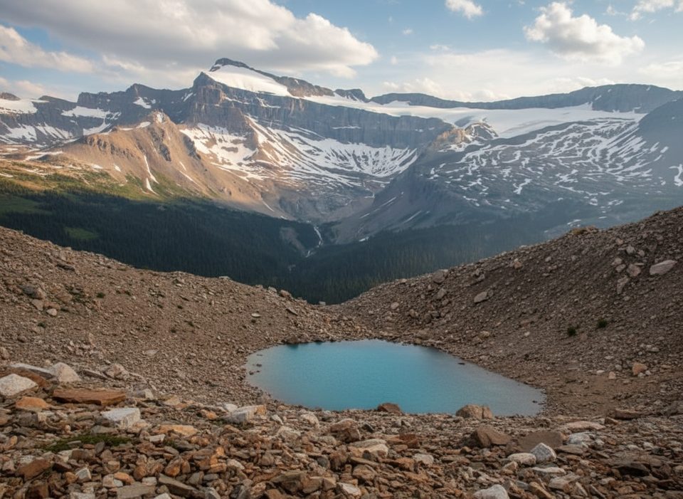
Expect classic Lake O’Hara scenery—glacially carved basins, moraines, and hanging valleys. Wildflower meadows light up summer, and peaks like Mount Hungabee and Yukness Mountain frame the skyline. From the plateau, Opabin Prospect delivers the postcard overlook, while Opabin Lake sits beneath a glacier—dramatic, but strictly look-don’t-touch territory.
The start is civilized—forest and shoreline walking along Mary Lake—then the grade stiffens through loose talus and a boulder field. Footing matters here. Once you crest the grassy cleft onto the plateau, the walking gets easier across rolling terrain and beside tranquil lakes. Stay on established paths; the alpine vegetation is fragile.
Late June through early October is the sweet spot, after snow melts and while wildflowers peak. Early season can hold snow and icy patches on shaded talus. Start early for softer light, fewer people, and calmer winds on the plateau.
No private vehicle access to Lake O’Hara. Park at the Lake O’Hara access area and ride the Parks Canada shuttle with a reservation, or hike the 11 km access road to reach the trail network from the lake.
Steep, loose talus and boulder sections; lingering early-season snow/ice. Stay on signed trails to protect fragile alpine meadows. Do not step onto the glacier at Opabin Lake. Drones, fishing, and watercraft are prohibited. Shuttle access is limited; pets are not permitted on the bus.
Place
Place
Place
Place
Moderate
Challenging
Challenging
Challenging

Parkwolf Tour Guide
