
Place
Challenging
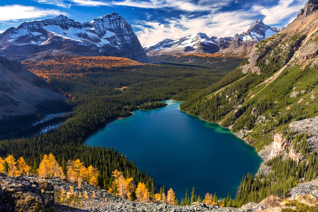
This is the showpiece, high-exposure section of the Lake O’Hara Alpine Circuit. In just 2.4 miles (3.8 km) one way, it rockets from Lake O’Hara’s shoreline to Wiwaxy Gap, then traverses the Huber Ledges to the sapphire waters of Lake Oesa. Expect a relentless climb of roughly 500–520 m to the Gap, narrow ledges, and big-air views the whole way. It’s demanding, dazzling, and best for hikers comfortable with steep, exposed mountain terrain.
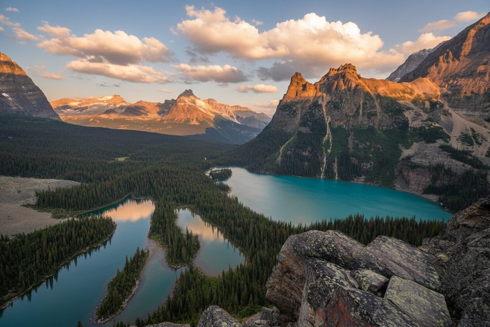
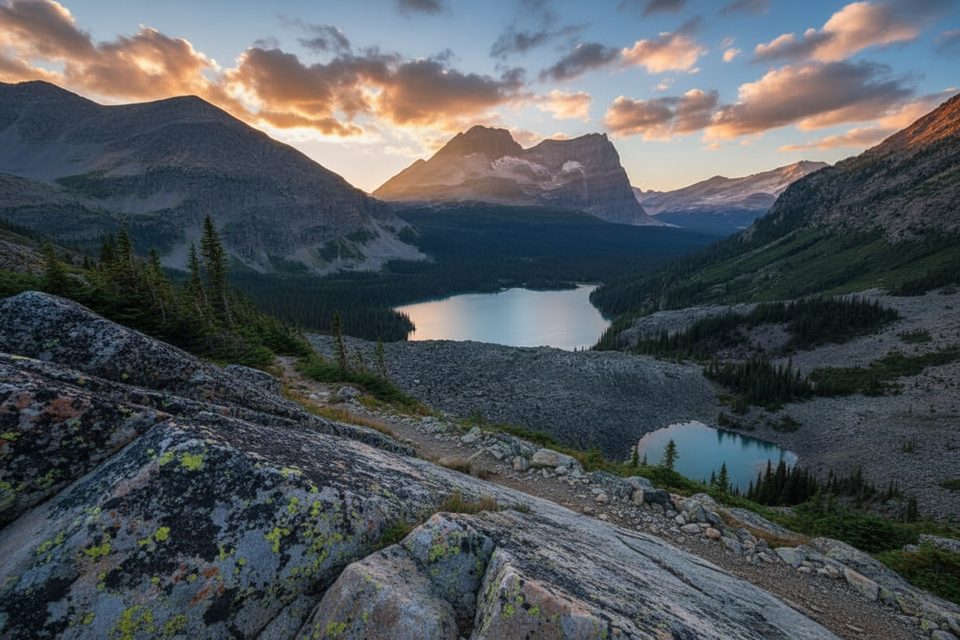
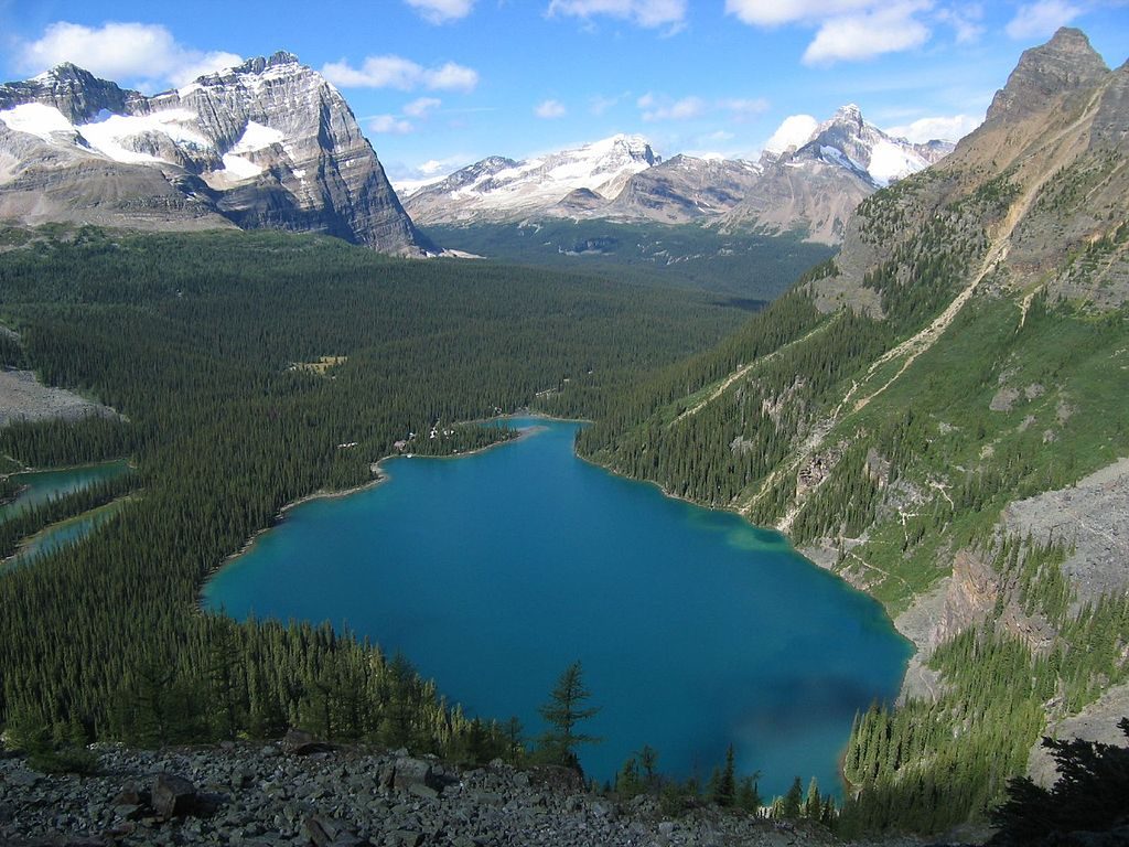
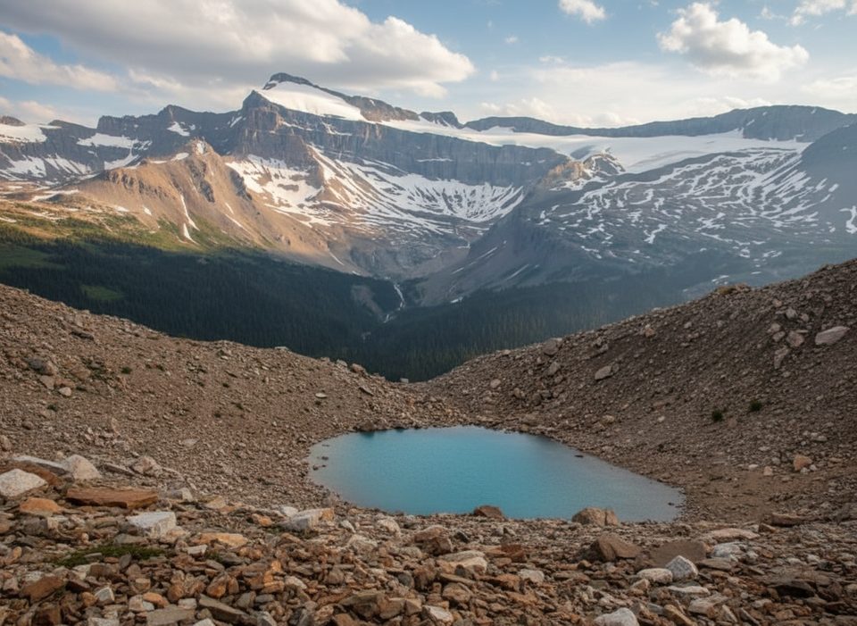
The route leaves the lakeshore near the bus stop, crosses a bridge over Cataract Brook, then grinds up steep forest and open slopes. The path narrows on airy benches carved into the mountainside before topping out at Wiwaxy Gap (2,703 m) with sweeping panoramas over the O’Hara basin and surrounding peaks. From there, the Huber Ledges cut across high cliffs on rocky tread and occasional built ledges, leading down to Lake Oesa’s turquoise shoreline.
Wayfinding is straightforward for an alpine route: expect cairns and painted markers, but you still need to pay attention—especially in poor visibility. Most hikers prefer going counterclockwise (climb first) to tackle the steepest, most exposed bits early while you’re fresh.
This is true alpine hiking. Weather flips fast and exposure makes the route hazardous in rain, snow, or high winds. Even mid/late season, lingering snow or cold can greet you up high. Sturdy boots, layers, and an early start are smart. Carry a map/GPS and give the ledges your full focus.
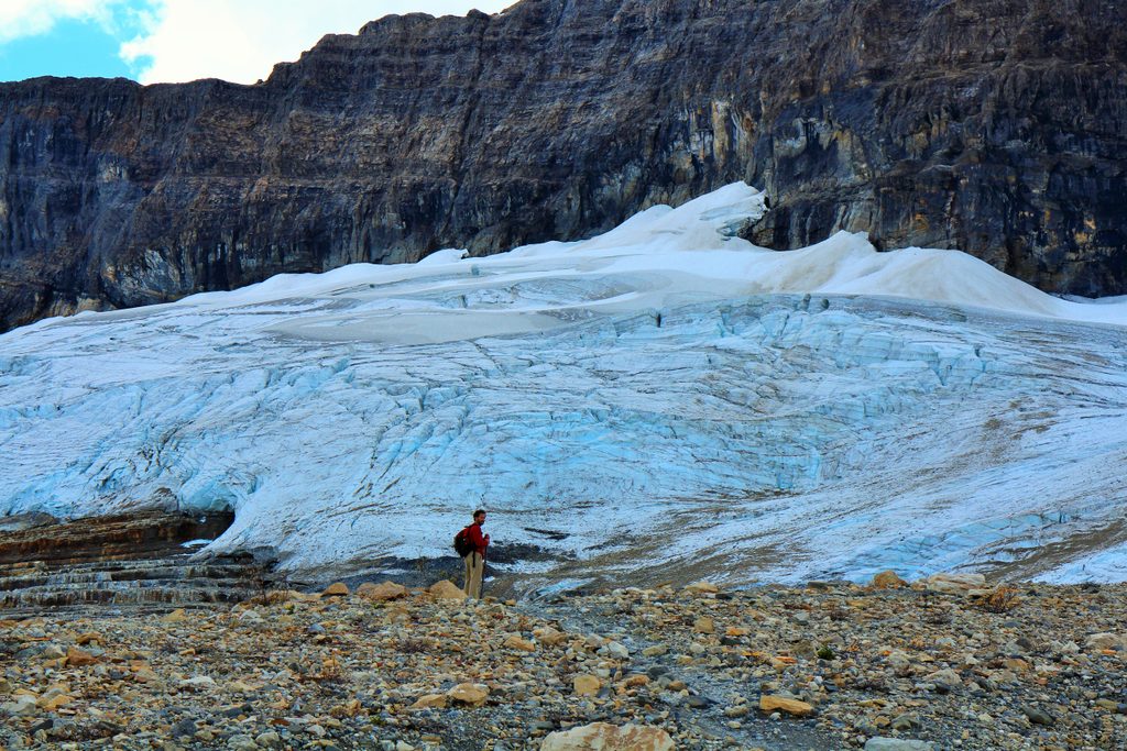
Scenery-wise, it’s nonstop: glaciers, hanging valleys, and stacked quartzite cliffs shaped by ice. In summer, wildflowers add pops of color to the stone. The Huber Ledges are named for nearby Mount Huber, nodding to the area’s mountaineering heritage.
Best time to hike: mid–late summer (July–September) for the most reliable footing. Start early for cooler temps and calmer conditions. Access to Lake O’Hara is tightly controlled—plan ahead and check current conditions and bus reservations before committing your day.
Reach the trail via the Parks Canada shuttle to Lake O’Hara; the route starts near the Lake O’Hara bus stop by Le Relais. No drive-up access to the lakeshore.
Serious exposure on narrow ledges; avoid in rain, snow, or high winds. Steep 500+ m climb to Wiwaxy Gap. Alpine conditions can include lingering snow even in summer. Route is marked but still an alpine traverse—carry a map/GPS. Access to Lake O’Hara requires advance reservations.
Place
Place
Place
Place
Moderate
Challenging
Challenging
Challenging

Parkwolf Tour Guide
