
Place
Challenging
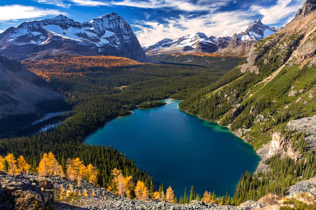
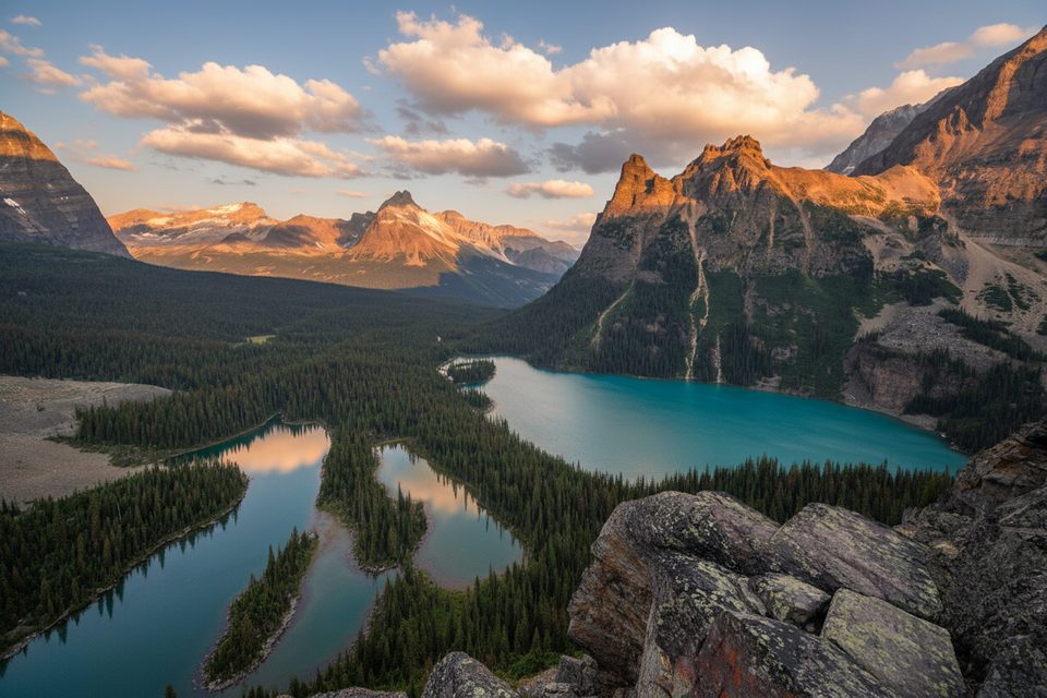
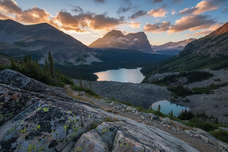
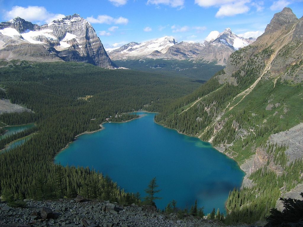
Wiwaxy Gap is the steep, scene-stealing opener to the Lake O’Hara Alpine Circuit—and it earns that reputation fast. You’ll gain roughly 500 m in just over 1.5 km (about 1.0–1.1 miles one way) to a 360° perch at 2,532 m with skyline views of Cathedral Mountain, Glacier Peak, Ringrose Peak, Hungabee Mountain, Mount Biddle, and the hanging basin of Lake Oesa right below. It’s strenuous, exposed in places, and absolutely worth it if you like your views hard-won.
From near Le Relais shelter and the day-use bus stop at Lake O’Hara, follow the lakeshore, cross the bridge over Cataract Brook, and brace for a relentless climb. The path is signed, well-marked (painted rocks), and alternates between forest, built rock steps, narrow ledges, and steep scree as you break above treeline. At the Gap, many hikers continue along the Huber Ledges toward Lake Oesa to carry on the Alpine Circuit; returning the way you came makes this a very steep out-and-back.
This is a hard hike—no technical climbing, but sustained grades, loose scree, and narrow ledges with drop-offs demand sure-footedness and focus. Weather matters: wind, rain, or lingering early-season snow on ledges can turn this from tough to hazardous. If you’re uneasy with exposure, consider ascending another route or sticking to lower trails like the Lake O’Hara shoreline or the Lake Oesa trail.
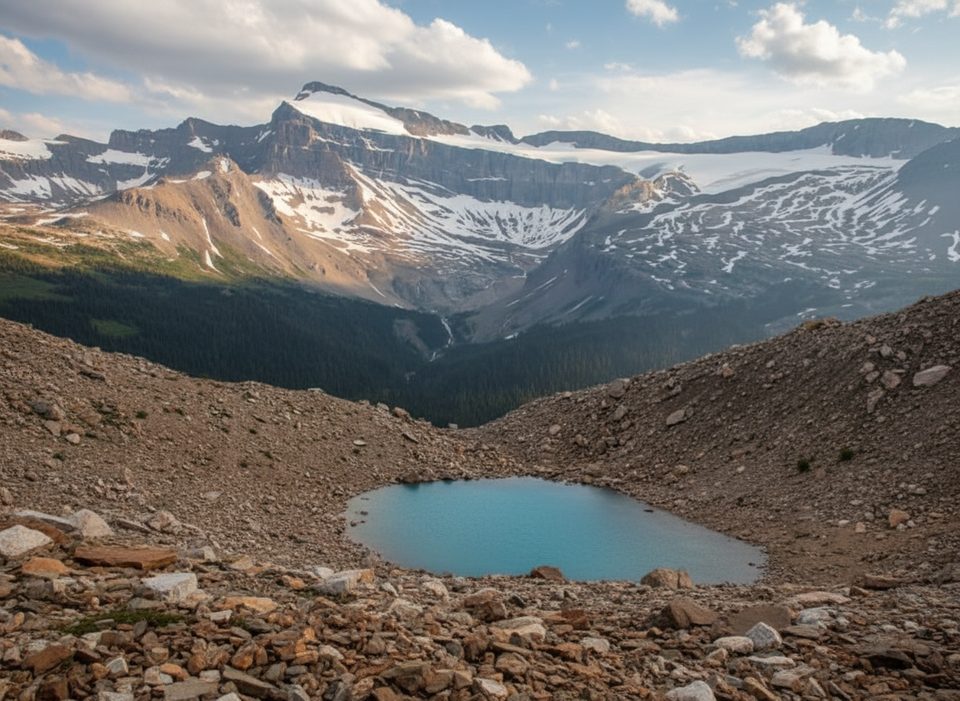
Above treeline you’ll traverse classic Rockies quartzite and scree with wide-open alpine views. The Gap frames the Lake O’Hara basin and surrounding cirques beautifully, with Lake Oesa tucked in its hanging valley. In midsummer the tundra pops with hardy wildflowers—another reason to slow down and enjoy the ledges.
Access to Lake O’Hara is tightly controlled under a Parks Canada quota. You’ll need an advance reservation for the day-use bus or accommodation; otherwise, it’s an 11-km walk up the access road before you even start this climb. The trail itself begins opposite the Le Relais shelter at the lake.
Aim for late June through September. Snow can linger on ledges into early summer; go only when conditions are dry and visibility is good. Start early for cooler temperatures, steadier weather, and time to continue the Alpine Circuit if you’re linking routes.
Trail starts near Le Relais shelter/day-use bus stop at Lake O’Hara. Access to Lake O’Hara is by reservation-only bus or an 11 km walk up the access road; there is no drive-up trailhead at the lake.
Very steep grades with narrow, exposed ledges and loose scree; early-season snow can linger on ledges. Weather changes fast—avoid in rain, storms, or poor visibility. The Wiwaxy East Peak scramble beyond the Gap is not part of the hike and requires advanced skills.
Place
Place
Place
Place
Moderate
Challenging
Challenging
Challenging

Parkwolf Tour Guide
