
Place
Challenging
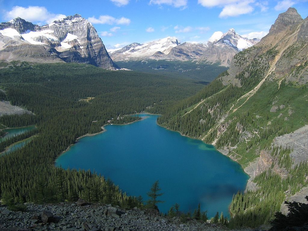
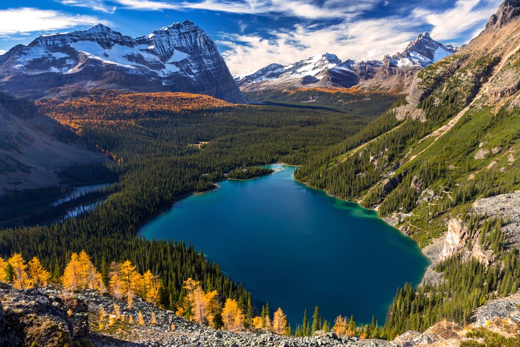
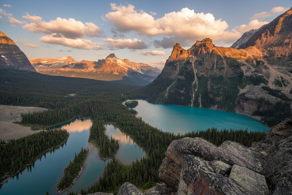
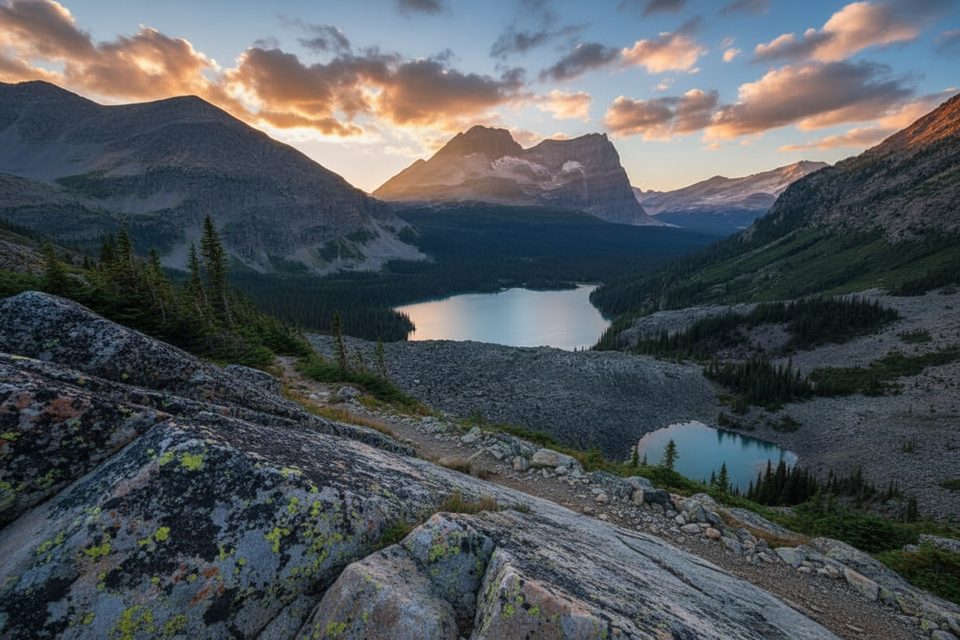
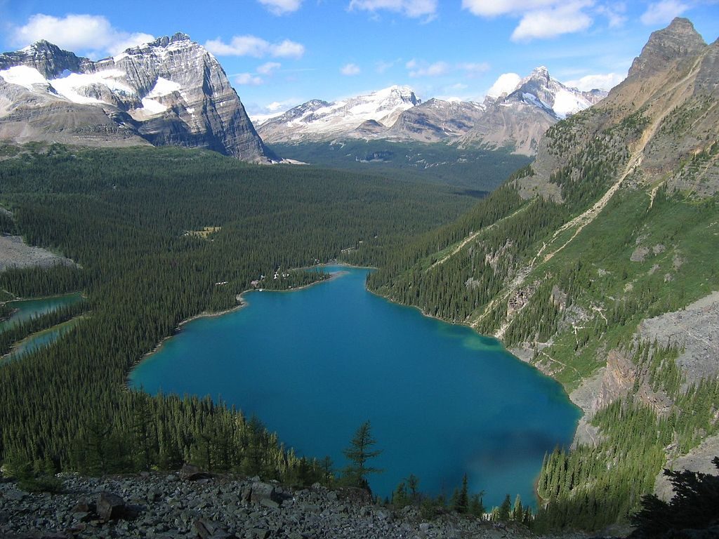
This is the showpiece ledge traverse of the Lake O’Hara Alpine Circuit—an exposed, above-treeline link between Lake Oesa and the Opabin side of the basin. Expect big views over Lake O’Hara, Mary Lake, Odaray and Cathedral, plus intimate looks at the cliffs of Yukness Mountain. The route itself is short—about 0.8 miles (1.3 km) one way—but it packs in airy sidehilling, slabby steps, and boulder weaving. Most hikers fold it into a longer day using connector trails or the full Alpine Circuit.
What it’s like: you’ll follow blue double-line paint blazes across quartzite ledges, rock slabs, and talus with intermittent grassy benches. Exposure looks intimidating from afar, but the ledges are wider than they appear. Footing is the crux—expect careful stepping on scree and blocky talus, especially on the descents into boulder fields. Allow around 1–1.5 hours for this segment, or 5–7 hours if you’re committing to the full 11 km Alpine Circuit with roughly 884 m (2,900 ft) of cumulative gain.
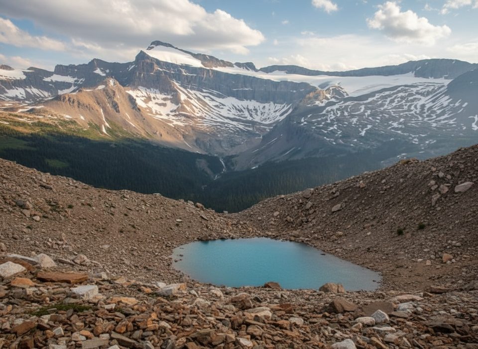
Scenery and highlights: the traverse hangs above the Opabin area with constant panoramas of O’Hara and the surrounding peaks. Watch and listen for marmots and pikas in the talus. You’ll pass near small alpine lakes, including Hungabee Lake tucked against Yukness Mountain. If you’re continuing the broader circuit, a short detour to Opabin Prospect adds about 0.7 km and a stellar layered-lake viewpoint.
Logistics and access: access to Lake O’Hara is strictly limited to protect the fragile alpine environment. Secure a shuttle reservation well in advance, or walk the 11 km access road (no cycling). There’s no cell service—bring a paper map and/or download offline maps. Even with good signage, the web of trails can be confusing, so confirm junctions and follow the painted blazes carefully.
Gear and safety: sturdy boots and trekking poles help on the slabs and talus. Weather flips fast at this elevation—pack layers and rain protection, even in summer. This is not a beginner route and is a poor choice if you’re uncomfortable with exposure. The terrain is shaped by avalanches and freeze–thaw; rockfall and slippery rock are real possibilities. Stay on established lines to minimize impact in this sensitive zone.
Best time to hike: late June through September, once snow has melted and the ledges are clear. Start early to bank calm weather and time for photos—this traverse is ridiculously photogenic. Afternoon storms are common; you don’t want to be on airy rock when wind and rain arrive.
Should you do it? If you’re confident on exposed, rocky terrain, yes—this is one of the most rewarding short alpine traverses in the Canadian Rockies. If you want the views without the spice, consider the lakeshore and connector trails around O’Hara and Oesa instead, or pick and choose individual alpine-route sections rather than the full circuit.
Access is via the Parks Canada Lake O’Hara shuttle (reservation required) or by walking the 11 km access road; there is no drive-in trailhead parking at Lake O’Hara.
Exposed ledges, slippery slabs, and talus require precise footing; fast-changing alpine weather; no cell service; easy to drift off-route without following the blue double-line blazes. Not suitable for beginners or those with a fear of heights.
Place
Place
Place
Place
Moderate
Challenging
Challenging
Challenging

Parkwolf Tour Guide
