
Place · 0.2 mi away
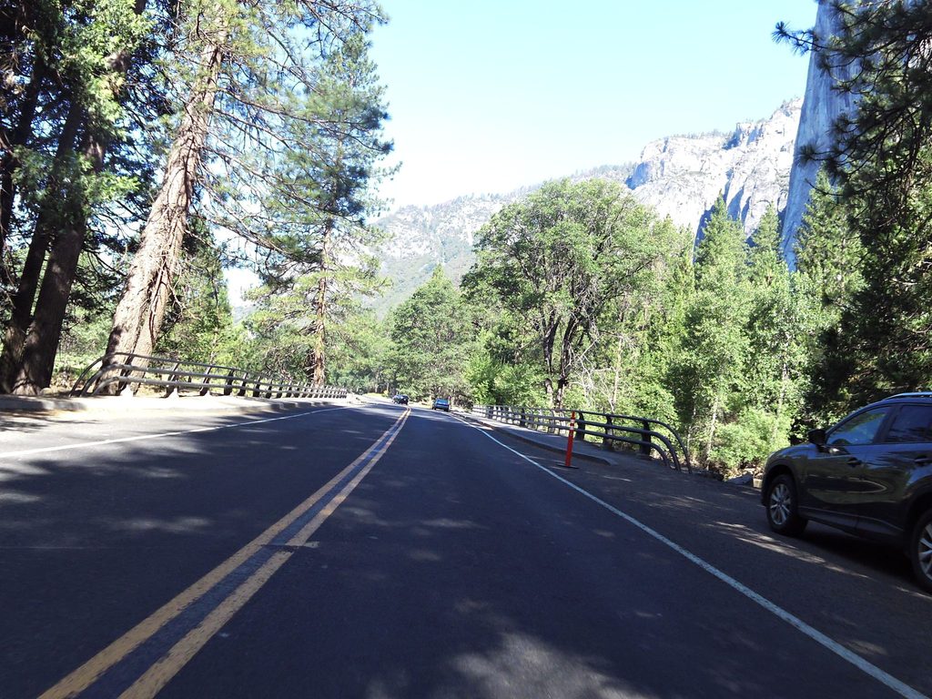
El Capitan Bridge spans the Merced River near El Capitan and the Valley meadows. Built in 1933, it’s a showcase of the National Park Service’s Rustic Style—steel-and-concrete bones cleverly wrapped in native log siding so the structure blends into its surroundings. It’s often cited as the most noticeable of Yosemite’s log‑sheathed bridges from the 1930s, and it tells the story of how the park upgraded to sturdier, safer road bridges without sacrificing scenery.
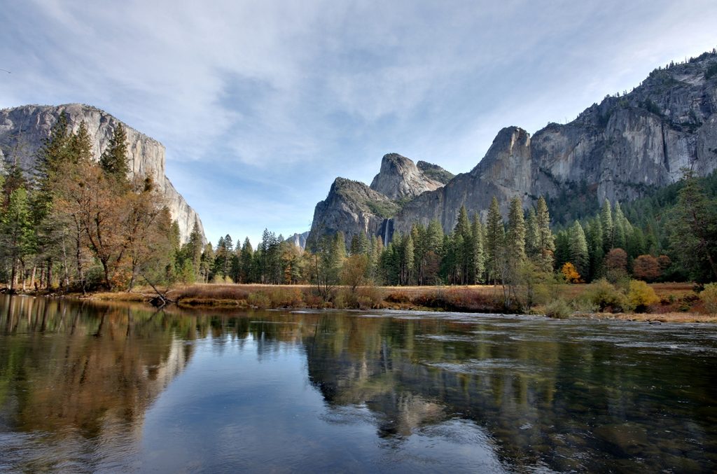
This is a quick, easy pullout for head‑on views of El Capitan with the Merced in the foreground. It’s a convenient place to grab a postcard‑worthy photo without a long walk. Stay with designated pullouts and established paths to protect meadows and riparian plants.
In spring and early summer, the Merced is high, fast, and very cold; water levels can rise quickly after storms. Keep a conservative buffer from the river’s edge, and avoid any hazardous crossings. Don’t drink untreated river water—giardia is a known risk; treat by boiling, appropriate filtration, or chemical treatment. Choose swimming only during low‑water periods and in safe, established areas. Summer thunderstorms can develop quickly; avoid exposed spots (open areas, near water, ridges) during lightning.
You’re in prime wildlife habitat. Keep your distance and never feed animals. If a bear approaches, make noise and try to scare it away; with mountain lions, don’t run—appear larger and fight back if attacked. Secure food and trash so animals don’t learn bad habits. Pack out everything you bring.
The closest dedicated facility is El Capitan Picnic Area, which has picnic tables, grills, animal‑safe food lockers, trash/recycling, and vault toilets; there’s no potable water, so bring your own. For flush toilets and drinking water, head to Lower Yosemite Fall or Church Bowl. During the February Horsetail Fall “Firefall” period, expect crowding and intermittent parking restrictions near El Capitan; be ready to park elsewhere and walk in.
There are no posted hours—it’s a roadside stop. Expect the heaviest congestion around special events like the February Horsetail Fall viewing. Spring brings powerful, cold river conditions; save wading or swimming for low‑water periods. If thunderstorms are in the forecast, time your visit to avoid afternoon electrical activity.
Use the signed pullouts rather than stopping on the bridge deck. A short wander along established paths often gives you cleaner river foregrounds. Always obey traffic signs and stay off fragile meadow vegetation.
Place · 0.2 mi away
Place · 0.2 mi away
Place · 0.3 mi away
Place · 0.4 mi away
Easy · 1.2 mi away
Challenging · 1.8 mi away
Challenging · 2 mi away
Easy · 2.5 mi away

Parkwolf Tour Guide
