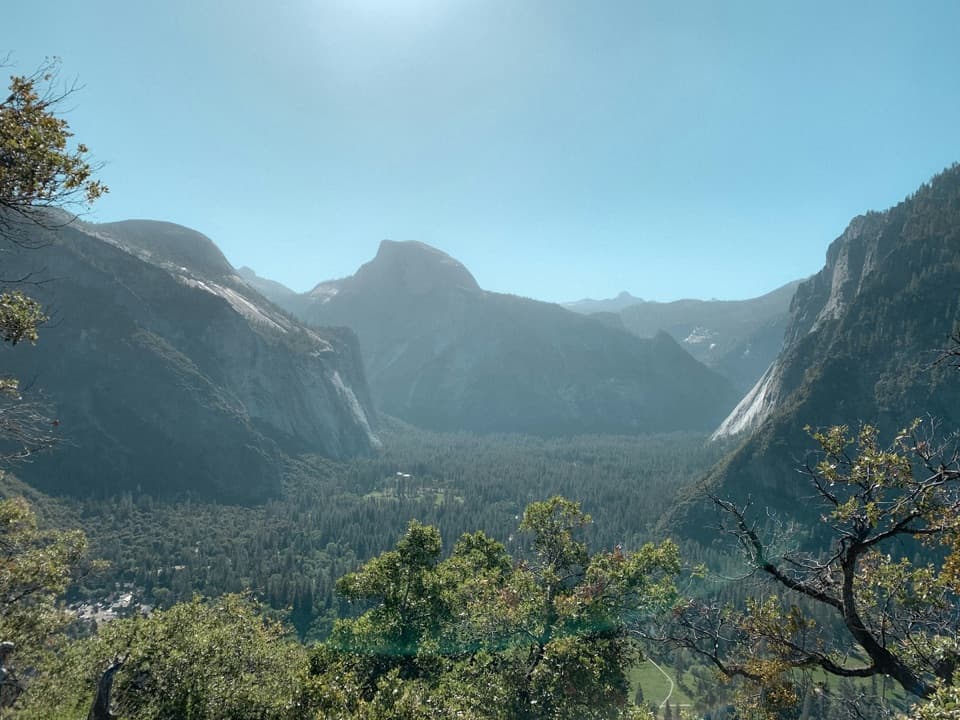
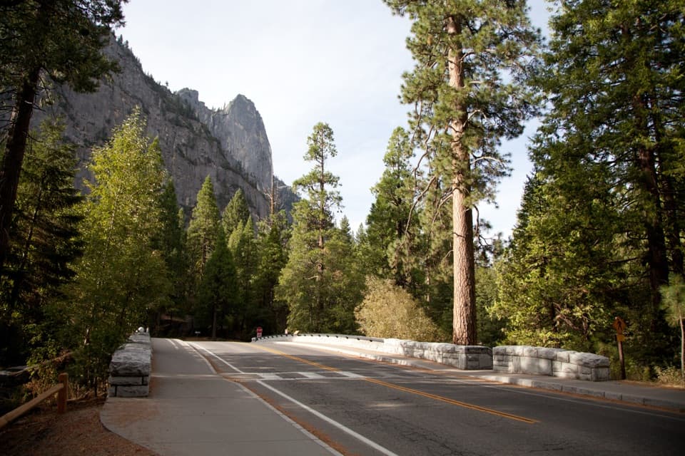
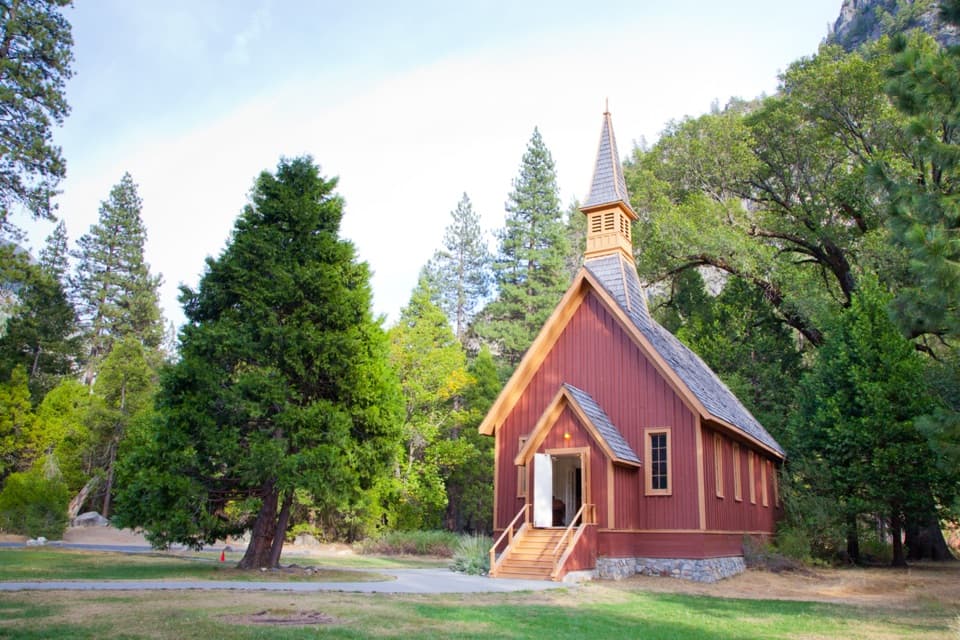
Lower Yosemite Fall Trail in Yosemite National Park

#9 of 141 trails in Yosemite

Yosemite National Park, CA

Lower Yosemite Fall Trail

A short paved loop to the base of Yosemite Falls

Photo: Public Domain
Length
1mi
Time
30min
Elev. change
48ft
Difficulty
Easy
  • Loop
  • Dogs allowed
  • High point 4,012 ft

Hear the audio tour

Yosemite Falls and the Lower Fall Loop

Overview

About Lower Yosemite Fall Trail

Why go

  • Close views of the lower fall and creek for an easy one-mile walk.
  • Paved route with exhibits, restrooms and a drinking fountain at the west access.

Heads up

  • The waterfall can dwindle or dry by late summer.
  • The bridge and central viewing area can be busy.

Map & elevation

The route

Loading the Yosemite map
Full map
Elevation3,964–4,012 ft
TrailheadLower Yosemite Fall Trailhead (west access)37.74576, -119.59562
Keep this map with you offline in the Parkwolf app

Plan your hike

Before you go

Parking

There is no parking at the trailhead. Use the Yosemite Village or Yosemite Falls parking areas; Valleywide Visitor Shuttle stop 6 and the connecting bike path reach both sides of the loop. Walking from the Valley Visitor Center adds about half a mile.

Safety

Granite rocks around and above the footbridge stay slippery even when dry; stay on the pavement. Spring runoff can spray the bridge. The short west-side climb can ice up in winter, and snow or ice can cover the eastern wheelchair-accessible section.

4 active Yosemite alerts

  • ClosureDome Fire closes Glacier Point Road and trailsGlacier Point Road is temporarily closed because Dome Fire smoke reduces visibility and to allow firefighting operations; some trails south of the road are also closed.Official details
  • CautionMist Trail access limited during October repairsThe Mist Trail between its John Muir Trail junction above the Vernal Fall footbridge and the top of Vernal Fall has limited access through October for repair work.Official details
See all 4 alerts
The Parkwolf Tour Guide on a dash-mounted phone, driving into Yosemite Valley

“Up ahead is the Lower Yosemite Fall area, where an easy paved loop brings you close to the bottom drop. Allow about half an hour for the mile-long circuit, plus time to stop.”

Yosemite Tour Guide

Yosemite, narrated.

Parkwolf is a GPS audio tour guide for Yosemite National Park. As you drive, it chimes in with what’s ahead: hidden gems, upcoming stops, history, geology, and wildlife, right through your car’s speakers.

See the Yosemite audio tour

Recorded for this trailhead

Yosemite Falls and the Lower Fall Loop
0:00 / 0:33
“Up ahead is the Lower Yosemite Fall area, where an easy paved loop brings you close to the bottom drop. Allow about half an hour for the mile-long circuit, plus time to stop.”

Plays as you drive up to this trailhead in the Parkwolf Yosemite Tour Guide.

More stories near here in the app

  • Sentinel Bridge, Cook's Meadow and Yosemite Chapel
  • Camp 4 and Yosemite Falls Trailhead
  • Yosemite Village
  • Swinging Bridge and Four Mile Trail
  • 125 audio storiesacross Yosemite’s roads, triggered by GPS as you drive
  • Wildlife heatmapsfor Black Bear, Peregrine Falcon, Mule Deer, and 13 more
  • Works offlinemaps, 141 trails, 99 places, and audio download before you lose signal
  • CarPlay readysimple controls built for the drive
★★★★★
“We just drove through Yosemite and it made our trip listening to this app as we drove through. Like having a tour guide in the car with you.”
Roddy 3210App Store review
Download Parkwolf on the App StoreGet Parkwolf on Google Play

4.7 from 8,600+ ratings

Trail guide

Hiking Lower Yosemite Fall Trail

The one-mile loopLower Yosemite Fall Trail is a paved one-mile circuit around the lower end of Yosemite Falls,…

Lower Yosemite Fall Trail is a paved one-mile circuit around the lower end of Yosemite Falls, with different views of the falls and Yosemite Creek. It is an easy way to get close to the water without committing to the long, steep climb to Upper Yosemite Fall. The loop gains about 50 feet, and the park estimates about 30 minutes on trail; give yourself longer for the footbridge and interpretive exhibits. The one-mile figure is for the complete circuit. Shorter half-mile figures describe a return walk to the base viewpoint, while starting at Yosemite Village adds a separate approach. This mapped version starts at the west access and includes the short paved path between the loop's two approaches to close the circuit.

Go clockwiseBegin on the western approach if you want the falls in view right away.

Begin on the western approach if you want the falls in view right away. The park recommends walking clockwise for the best waterfall views. The route moves between open views and shaded pines, with several looks at the creek and the lower drop. The bridge near the base is the closest view, and this is a popular stop, so it can feel busy around the viewing area. For a strong photo, include some of the creek below the fall rather than filling the frame with water alone.

The lower dropYosemite Falls is a three-part cascade, and the Lower Fall is its final 320-foot drop.

Yosemite Falls is a three-part cascade, and the Lower Fall is its final 320-foot drop. In spring and early summer, high flow can make the water roar and throw spray onto the footbridge. The exhibits along the loop cover the area's natural and cultural history. They add something to a walk that would otherwise be a short approach, waterfall view, and return.

Easy walking, one serious edgeThe route is paved and nearly level, with only about 50 feet of gain; leashed pets and…

The route is paved and nearly level, with only about 50 feet of gain; leashed pets and strollers are allowed, but bicycles are not. Only the eastern portion is identified as wheelchair accessible, and ice or snow can cover it, so do not assume the full loop is accessible in winter. The short western climb to the bridge can also be icy. Stay on the pavement around and above the bridge: the granite rocks stay slippery even when dry, and scrambling there has caused serious injuries.

Getting to the trailThere is no parking at the trailhead.

There is no parking at the trailhead. Use the Yosemite Village or Yosemite Falls parking areas, then follow the Valleywide Visitor Shuttle to stop 6 and the connecting bike path to either side of the loop. Walking from the Valley Visitor Center adds about half a mile to the outing. The western side has restrooms and a drinking fountain; there is no additional water or restroom along the loop, so fill up before leaving that access.

When the waterfall is flowingThe falls are usually strongest in spring and early summer.

The falls are usually strongest in spring and early summer. By late July or August, the flow often dwindles or stops through October. The paved loop is still a pleasant short walk when the falls are low, but if the waterfall is the reason for your stop, the runoff season brings the bigger payoff. Snow and ice can change how much of the route is comfortable to use even though the trail is open year-round.

Want a longer hike?This is the short lower-fall loop, not the route to the top of the waterfall.

This is the short lower-fall loop, not the route to the top of the waterfall. The separate Yosemite Falls Trail is the much longer climb toward Upper Yosemite Fall. Choose that only if you want a full hike; for a quick, close-up waterfall visit, this loop is the easier fit.

Wildlife

Wildlife in Yosemite

All Yosemite wildlife maps

Sighting maps show where each species has been reported across Yosemite. Wildlife moves, so no sighting is guaranteed.

Keep exploring

Near Lower Yosemite Fall Trail

See it all on the map

Trails that start nearby

Places near the trailhead

Parkwolf’s Yosemite ranking

Top-rated trails in Yosemite

All 141 trails
  1. 1Half Dome TrailChallenging · 14.3 mi
  2. 2Clouds Rest TrailChallenging · 14 mi
  3. 3Nevada Fall Loop via Mist and John Muir TrailsChallenging · 6.4 mi
  4. 4Yosemite Falls TrailChallenging · 7.2 mi
  5. 5Panorama TrailChallenging · 8.2 mi
  6. 6Four Mile TrailChallenging · 4.8 mi

Take Parkwolf to Yosemite.

The audio tour guide for the drive, plus offline maps, trails, and wildlife heatmaps for when the signal drops.

4.7 from 8,600+ ratings

Download Parkwolf on the App StoreGet Parkwolf on Google Play