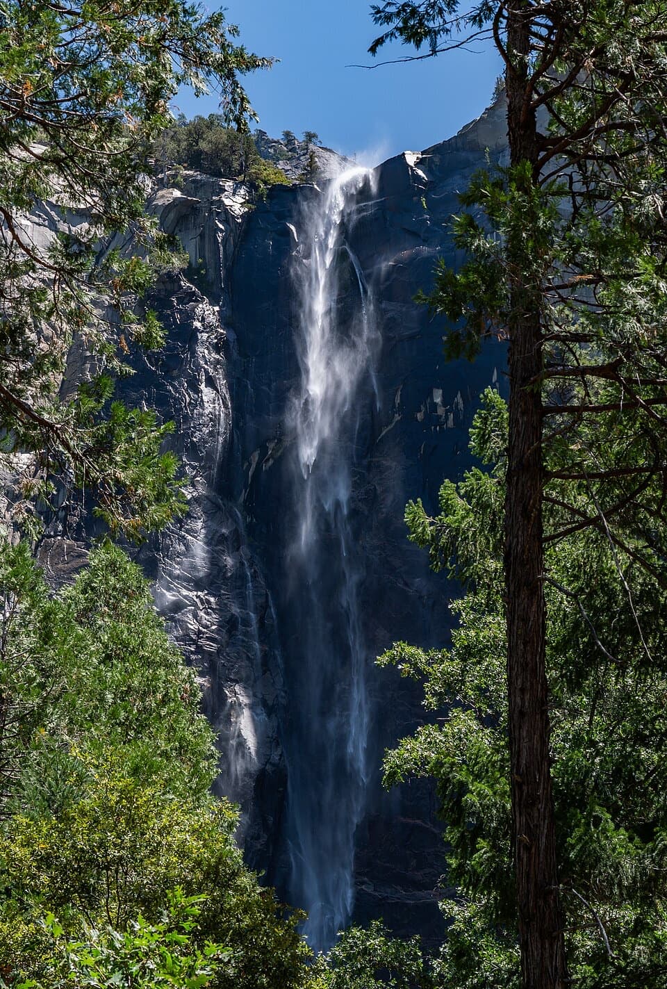
Bridalveil Fall Trail

Short, paved stroll to a misty 620-foot waterfall and rainbows

LENGTH
0.5 mi
TIME
20 min
DIFFICULTY
Easy
DOGS
Allowed
Bridalveil Fall Trail, Yosemite National Park
Image credit: Mapillary

Pros & cons

PROS

  • Frequent spring rainbows in late-afternoon light near the base
  • Alternate Southside Drive approach adds variety and a creek crossing

CONS

  • Parking lot fills quickly and there is no shuttle service
  • Heavy spring spray can soak you and sometimes limits access near the base
PARKING

Park at the Bridalveil Fall Parking Area on Wawona Road (Highway 41). Lot fills fast, restrooms available, no drinking water. If full, park along Southside Drive and walk the slightly longer approach that crosses Bridalveil Creek. No shuttle service.

CAUTION

Pavement and boulders near the base are extremely slippery—even when dry—and can be icy in winter. Spring spray can drench you and obscure footing. Use care if parking along Southside Drive and crossing the road.

Overview

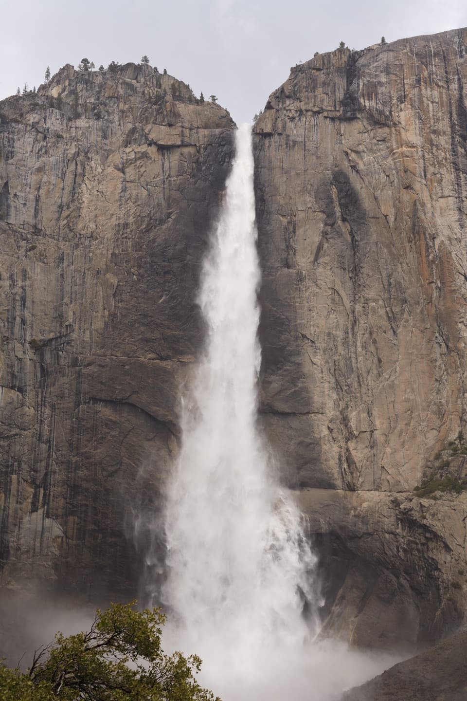
This is Yosemite’s quick-hit waterfall walk: an easy, paved, 0.5-mile round-trip with about 80 feet of gain to the base of the 620-foot Bridalveil Fall. It often greets you as the first major cascade when entering Yosemite Valley. The payoff per minute is high—roaring water in spring, a delicate “veil” later in the year, and classic photo ops without committing half your day.

Trail Experience

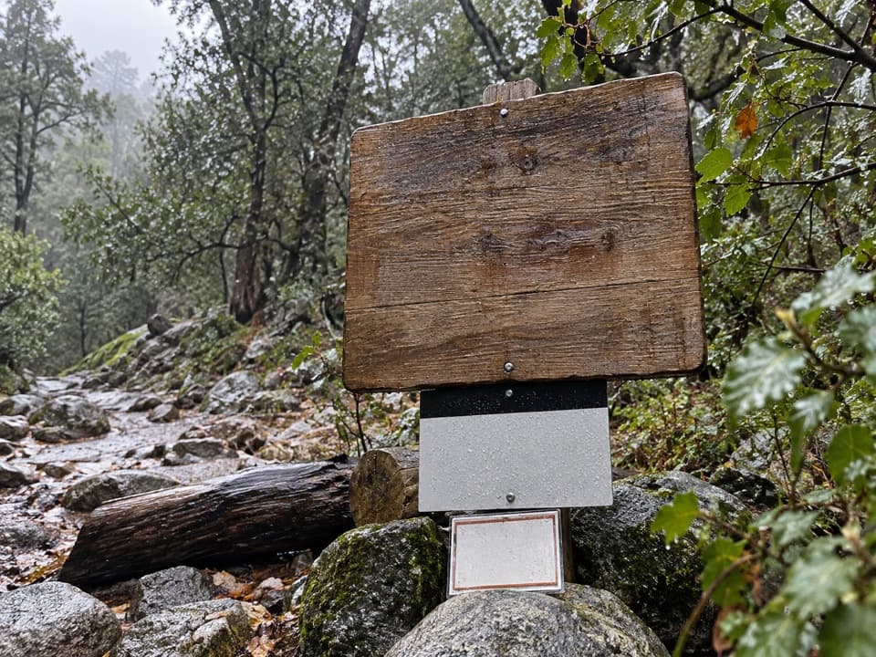
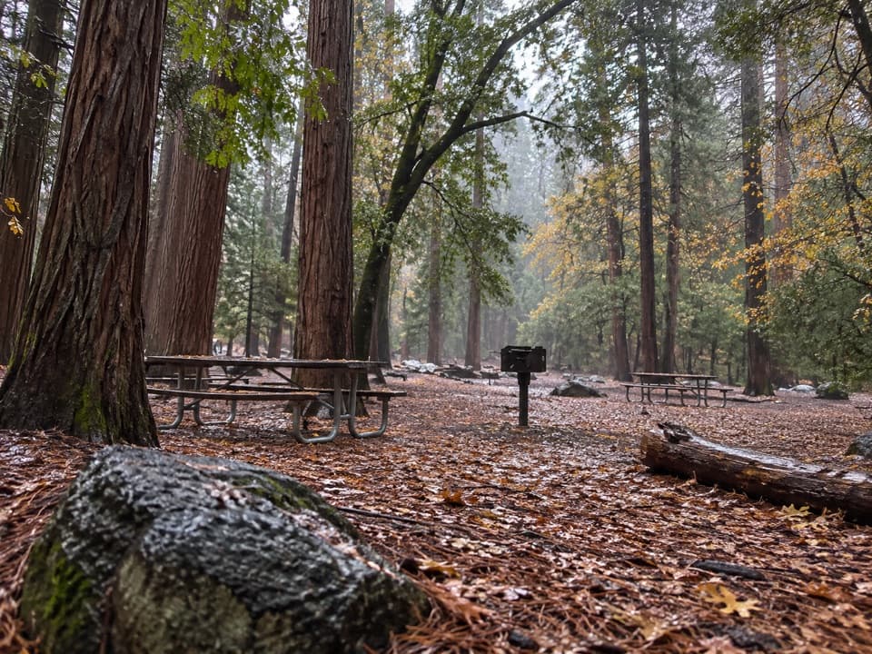
From the Bridalveil Fall Parking Area, follow the paved path through boulders and forest toward the thundering base. Expect heavy spray in spring and early summer; you can get soaked, and the last stretch may be too wet to comfortably approach. In winter, the pavement and nearby rocks can be icy and very slick. A slightly longer option starts along Southside Drive, adding roughly 0.25 miles round-trip and crossing Bridalveil Creek for different angles on the falls.

Stay on the pavement—those granite boulders near the base are notoriously slippery, even when they look dry. The viewing area brings you close enough to feel the power, hear the echo, and, on sunny days, catch the namesake bridal “veil” drifting and swaying with the wind.

Best Times to Hike

Peak flow is spring into early summer, when snowmelt turns the fall into a firehose and the mist can drench you (bring a light shell). Late summer and fall typically show a lighter, graceful ribbon. Winter is quieter and beautiful but can be icy—traction footwear helps. For photos, late afternoon light often delivers rainbows in the spray, especially in spring. To dodge crowds and parking headaches, arrive early or later in the day.

Logistics

  • Distance: 0.5 miles TOTAL out-and-back; ~80 feet of gain. The alternate Southside Drive approach adds about 0.25 miles total.
  • Trailhead: Bridalveil Fall Parking Area on Wawona Road (Highway 41). Restrooms are in the lot. There’s no drinking water, so bring your own. No park shuttle serves this trailhead. Parking fills quickly and traffic can back up—use the Southside Drive approach if the lot is jammed.
  • Accessibility: The western approach is wheelchair-accessible to an accessible viewing area. Heavy spray, grades, or winter ice may still pose challenges—plan for conditions.
  • Pets: Leashed dogs are allowed on this paved trail.

Geology and Culture

Bridalveil Fall pours from a hanging valley carved by Ice Age glaciers into Yosemite’s granitic backbone. The valley’s sheer walls and U-shaped profile are the handiwork of those massive rivers of ice; the smaller side valley that feeds Bridalveil was left “hanging” high above the main trough, creating the dramatic drop. The granite you’re walking over formed deep underground from magma that cooled and later uplifted with the Sierra Nevada, before glaciers sculpted it into the forms you see today. The fall is also known as “Pohono,” a name tied to Indigenous traditions and the swirling, windblown mist.

If You Want the Iconic Valley Shot

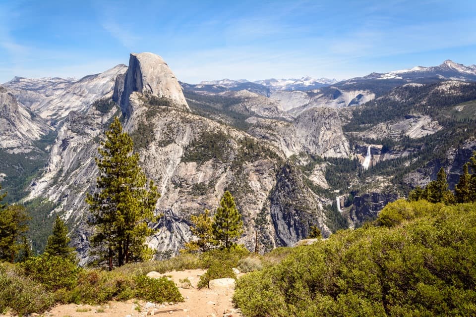
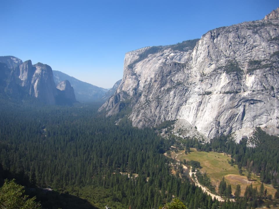
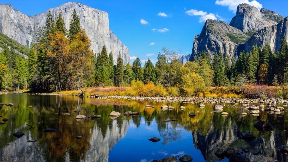
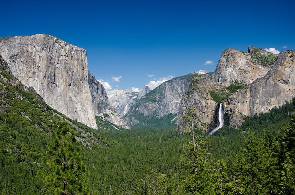
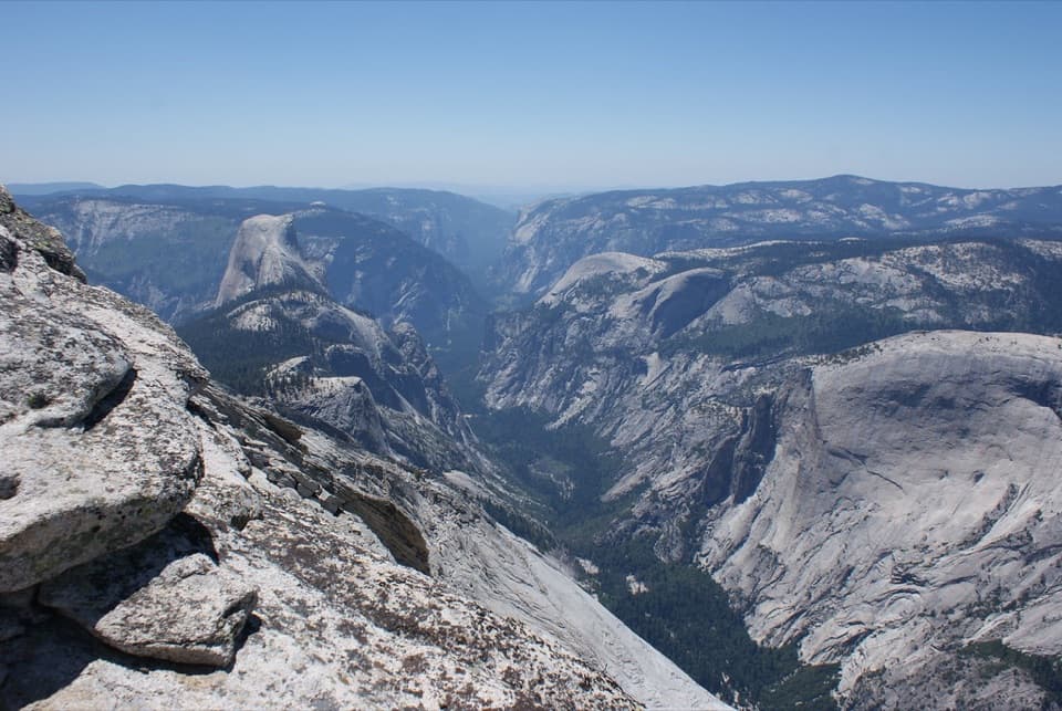
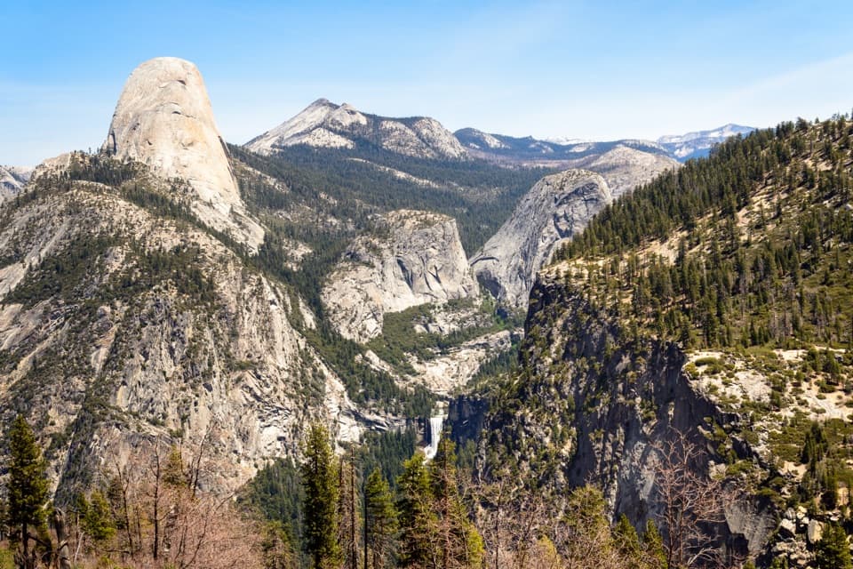
For big-picture perspectives that include Bridalveil Fall framed by cliffs and domes, stop at Tunnel View or Valley View. Hike the short trail for the up-close thunder; visit those roadside viewpoints for the postcard panorama.

Elevation

0.5 mi · 20 min
Start · 1228 mHigh point · 1228 mEnd · 1218 m

Where it starts

37.7168, -119.6509
Bridalveil Fall Trail

Near Bridalveil Fall Trail

All places →All trails →

More about Bridalveil Fall Trail

PARKWOLF TOUR GUIDE

Like a tour guide in your car.

Bring Yosemite trail research into the car, with offline maps and stories that play as you drive.
Download Parkwolf on the App StoreGet Parkwolf on Google Play
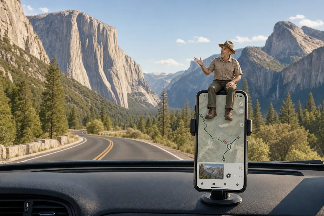
The Parkwolf tour guide sitting on a phone mounted in a car
Get the Audio Tour Guide for your drive through YosemiteOpen Parkwolf