Parking
Very limited signed roadside parking along Southside Drive at the Four Mile Trailhead; Valleywide Shuttle stop #11 serves this access.
#6 of 141 trails in Yosemite
Yosemite National Park, CA
Climb Yosemite’s south wall for a broader view of the Valley.
Overview
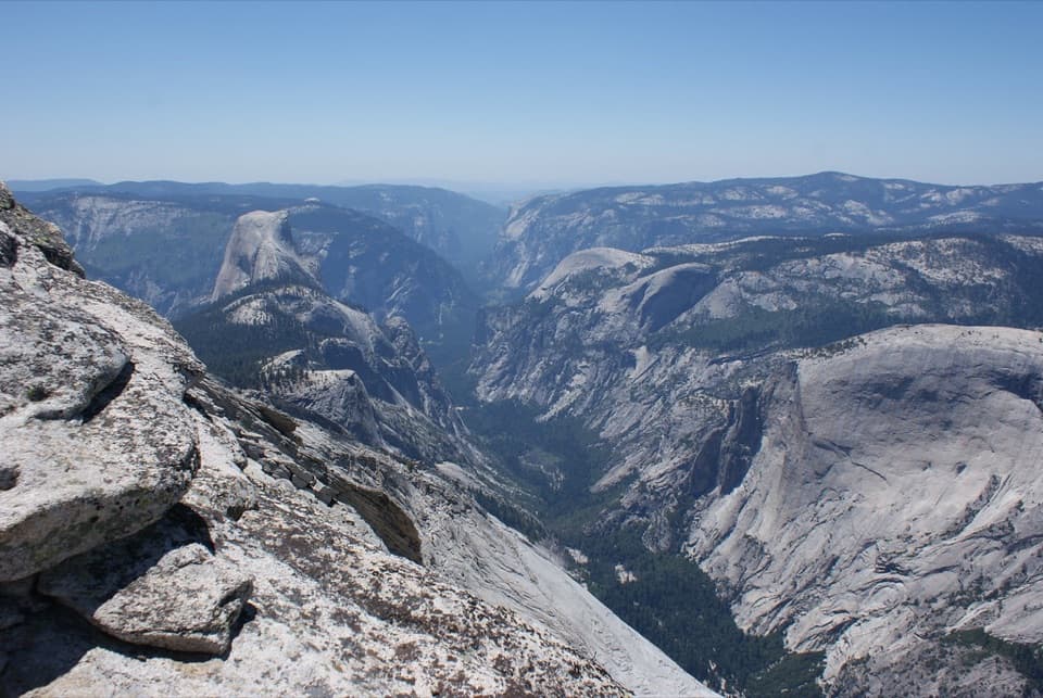
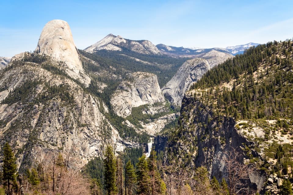
Four Mile Trail is a 4.8-mile, one-way climb from the signed Southside Drive trailhead in Yosemite Valley to Glacier Point, gaining about 3,200 feet. Allow 3–4 hours for the ascent. Reversing the trail makes it 9.6 miles and usually a 6–8-hour day. It is a strenuous, steady climb, but the view keeps changing as you rise above the Valley: first waterfalls and granite walls, then a broad look toward Half Dome and the Sierra. Choose it for a serious uphill walk with a big payoff, not a quick viewpoint stop.
 Parkwolf’s verdictIs this the hike for you?
Map & elevation
Plan your hike
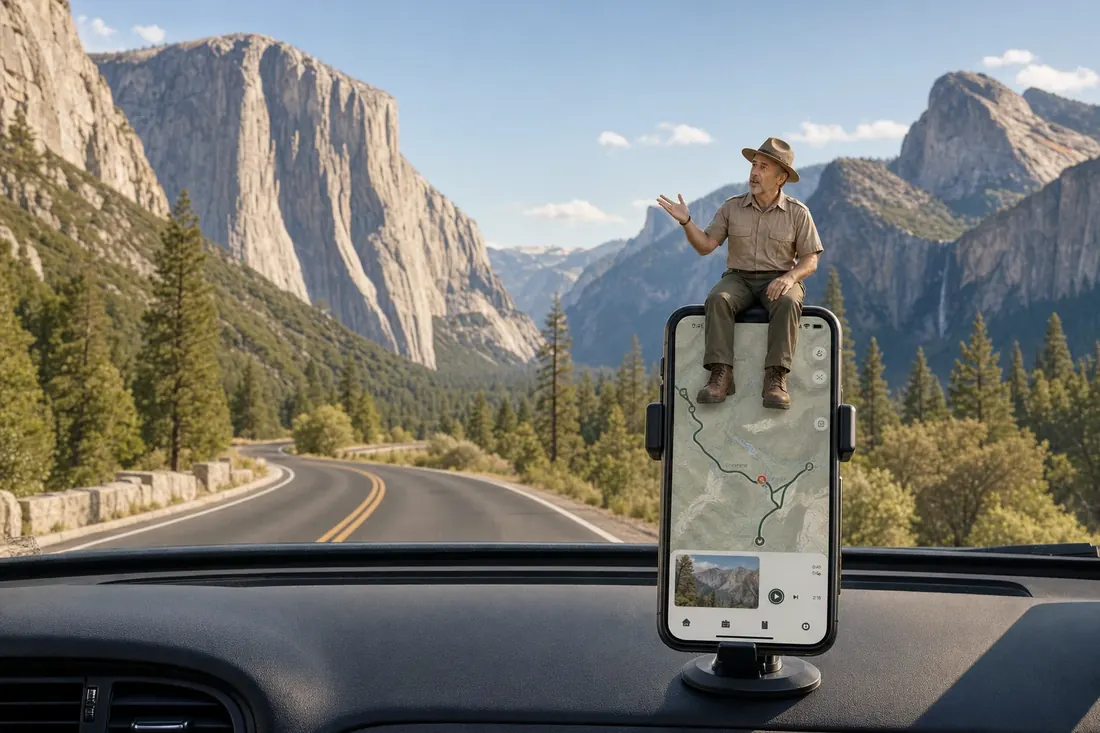
“You're coming up on the Four Mile Trailhead, with Swinging Bridge Picnic Area nearby. For an easy break, choose the picnic area: mostly level paths reach the Merced River and a view of Yosemite Falls.”
Yosemite Tour Guide
Parkwolf is a GPS audio tour guide for Yosemite National Park. As you drive, it chimes in with what’s ahead: hidden gems, upcoming stops, history, geology, and wildlife, right through your car’s speakers.
See the Yosemite audio tourRecorded for this trailhead
Swinging Bridge and Four Mile Trail“You're coming up on the Four Mile Trailhead, with Swinging Bridge Picnic Area nearby. For an easy break, choose the picnic area: mostly level paths reach the Merced River and a view of Yosemite Falls.”
Plays as you drive up to this trailhead in the Parkwolf Yosemite Tour Guide.
More stories near here in the app
“We just drove through Yosemite and it made our trip listening to this app as we drove through. Like having a tour guide in the car with you.”


Trail guide
Parking at the Valley end is very limited along Southside Drive; Valleywide Shuttle stop #11 serves the signed trailhead. There is no free shuttle between Yosemite Valley and Glacier Point. If you hike up to Glacier Point, arrange your own ride or plan to walk back down; do not count on a pickup there. There is no drinking water along the trail. The park recommends 2 quarts/liters for a one-way hike and twice that for the return. Pets, bicycles, and strollers are prohibited. Glacier Point has vault toilets and, seasonally, a drinking fountain and limited snacks, but those are at the end, not along the climb.
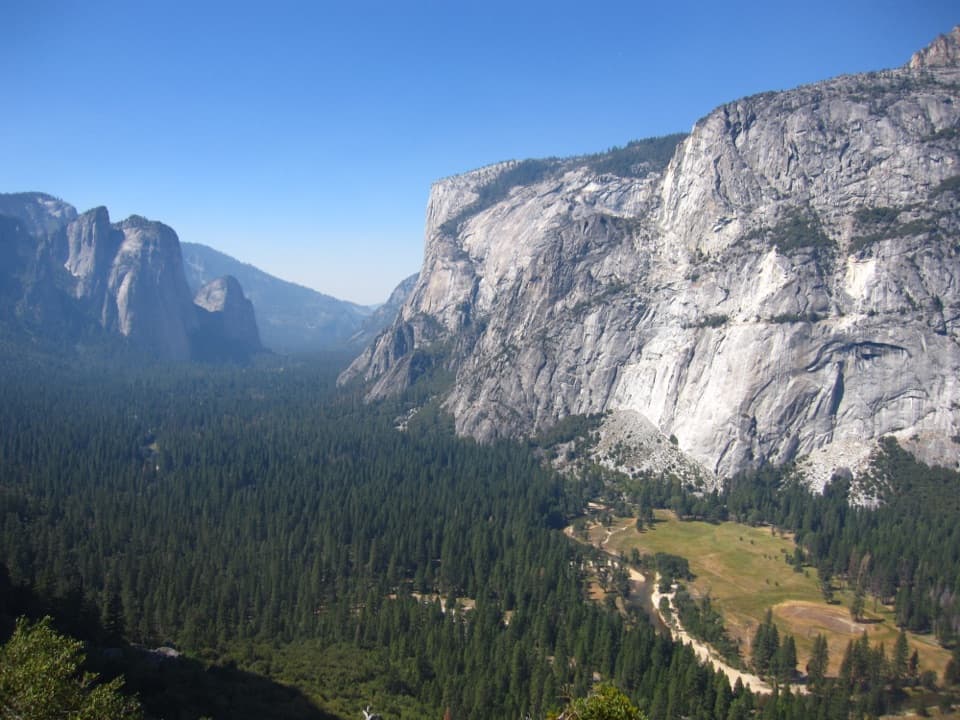
The route starts climbing through trees and keeps a steep grade rather than offering a long level approach. Around a mile in, the forest opens and Yosemite Falls appears across the Valley, framed by Cathedral Rocks and El Capitan. From this high south-side angle, the familiar cliffs make a reverse Tunnel View. At a safe widening, include the walls as well as the falls; a tight crop of the waterfall loses the scale of the view.
The trail passes close below Sentinel Rock. Around three miles up, a gate below Union Point marks the usual snow-closure line. On the fully open route, continue to Union Point, a little over two-thirds of the way to Glacier Point. It is worth the short side trip for its look back across the Valley. As you climb, the view broadens toward Tenaya Canyon and the Royal Arches.
Parts of the trail are paved, but loose sand lies over the hard surface and can make footing slippery, especially on the descent. Brush can hide ledges and drop-offs. Stay on the switchbacks instead of cutting across the slope; the shortcut erodes quickly and puts hikers at risk. The repeated turns spread the climb out, but you are gaining almost the whole way, so leave room for breaks and take the descent seriously too.
At Glacier Point, Half Dome, Yosemite Falls, and the Sierra peaks fill a wide panorama above the Valley. Parking and vault toilets are at the overlook; the seasonal fountain and small supply of snacks are useful only when those services are operating. If you have arranged a ride, this is the end of the one-way hike. Otherwise, the same 4.8-mile trail is your way back.
The trail began as a toll route completed in 1872. Yosemite entrepreneur James McCauley hired John Conway to build it from the Valley to Glacier Point. The original line was about four miles; later reroutes lengthened it toward five, while the old name stayed. That history explains the name, but today's climb is 4.8 miles one way, not four.
The trail typically opens in May. Significant snow usually closes the upper route below Union Point in November or December, and major storms can close the whole trail. When the upper section is closed, the lower three miles may remain open to the gate, but that lower stretch can be icy and slippery in winter and early spring. Check the park's current trail notices before setting out.
Wildlife
 732 sightingsBlack BearMost seen around 7 PMSighting map
 1,747 sightingsMule DeerMost seen around 6 PMSighting map
 332 sightingsCoyoteMost seen around 7 PMSighting map
 11 sightingsPeregrine FalconMost seen around 8 AMSighting map
 276 sightingsPikaMost seen around 8 AMSighting map
 677 sightingsYellow-bellied MarmotMost seen around 8 AMSighting map
Sighting maps show where each species has been reported across Yosemite. Wildlife moves, so no sighting is guaranteed.
Keep exploring
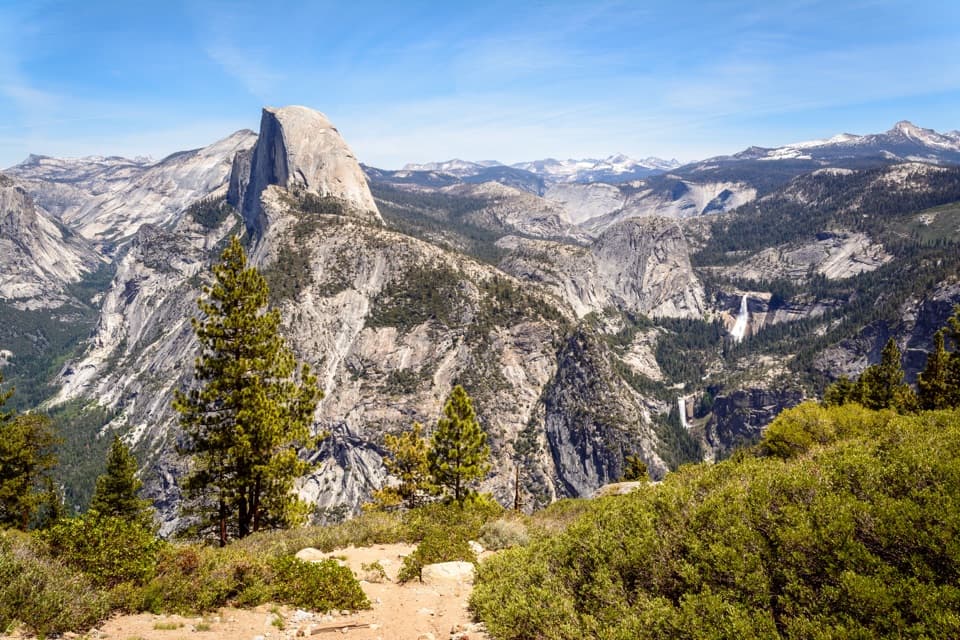 ChallengingFour Mile and Panorama Loop16.7 mi · 10.5 hr · At the trailheadA full-day Yosemite loop from Four Mile to Glacier Point and back.
 EasySentinel Meadow and Cook's Meadow Loop2.3 mi · 1.5 hr · 0.2 mi awayTwo meadows, river bridges, and a Half Dome view in one walk.
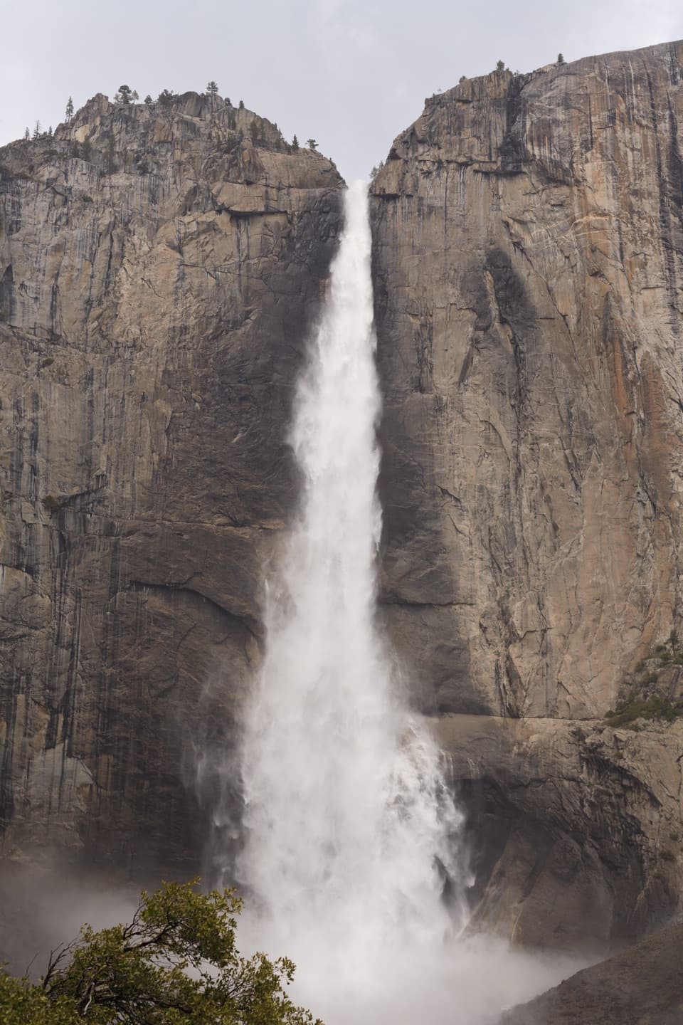 ChallengingYosemite Falls Trail7.2 mi · 7 hr · 0.6 mi away60 switchbacks climb to the top of Upper Yosemite Fall
 ChallengingEl Capitan Trail via Yosemite Falls15.4 mi · 10 hr · 0.6 mi awayA full-day summit hike past Yosemite Falls to El Capitan.
 ChallengingEagle Peak Trail12.6 mi · 8.5 hr · 0.6 mi awayA long climb to Eagle Peak’s view across Yosemite Valley.
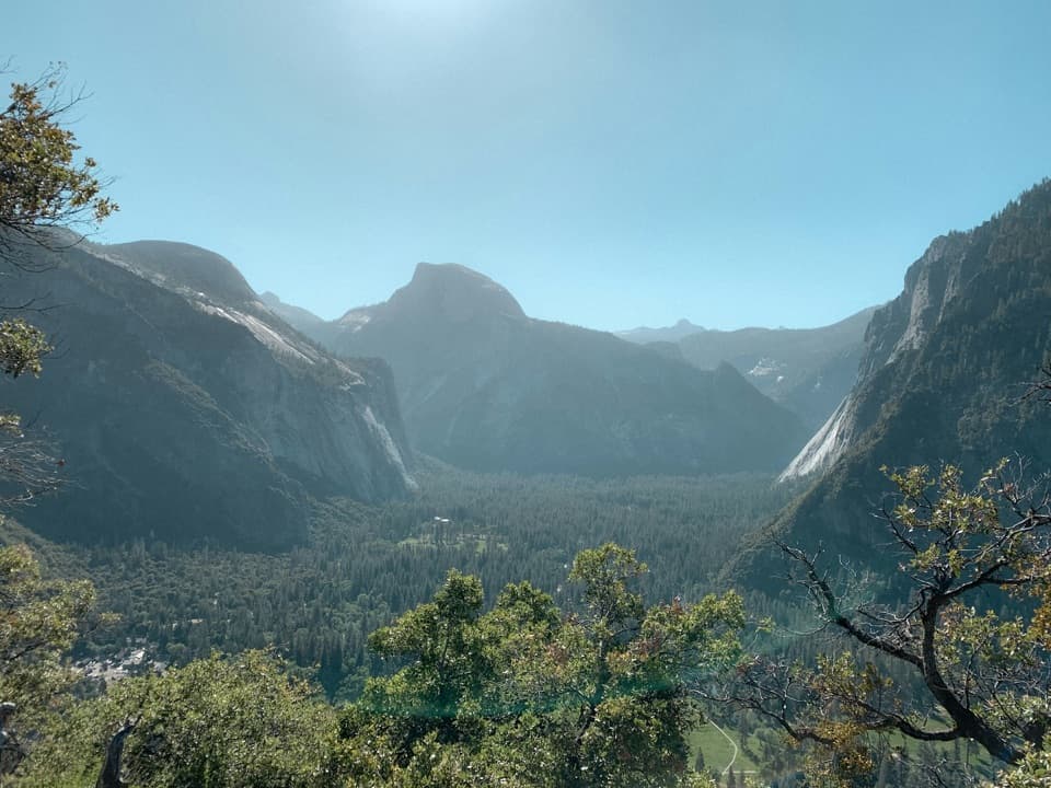 ModerateColumbia Rock Trail2 mi · 2.5 hr · 0.6 mi awayA steep mile opens Yosemite Valley and Half Dome in one sweep.
 ChallengingEastern North Rim Traverse18.1 mi · 12.5 hr · 0.6 mi awayOne-way rim traverse from Yosemite Falls to Mirror Lake via North Dome.
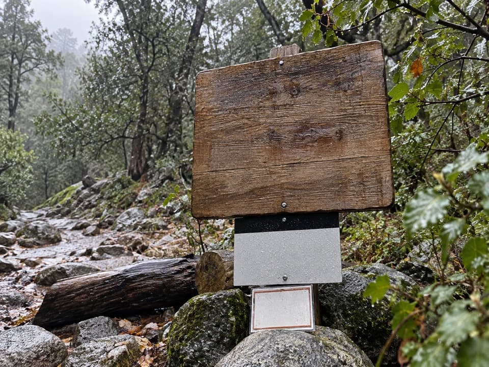 ChallengingYosemite Point Trail8.8 mi · 8 hr · 0.6 mi awayClimb past Yosemite Falls for Half Dome and Lost Arrow Spire.
 Beach · 0.2 mi awaySentinel BeachPicnic under Sentinel Rock with Upper Yosemite Fall in view.
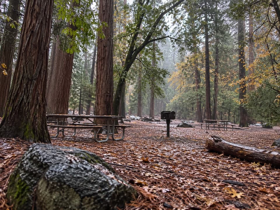
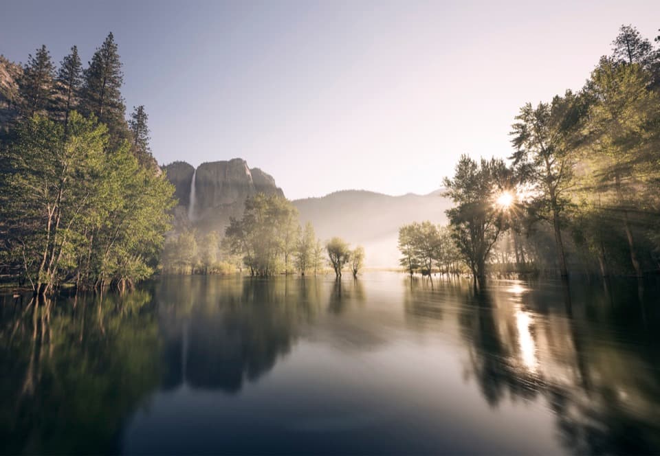 Picnic area · 0.2 mi awaySwinging Bridge Picnic Area (Yosemite Valley)Picnic by the Merced with Yosemite Falls for company.
 Campground · 0.6 mi awayCamp 4Shared tent sites steeped in the history of American climbing.
 Lodging · 0.7 mi awayYosemite Valley LodgeStay by the falls with meals, coffee and groceries close by.
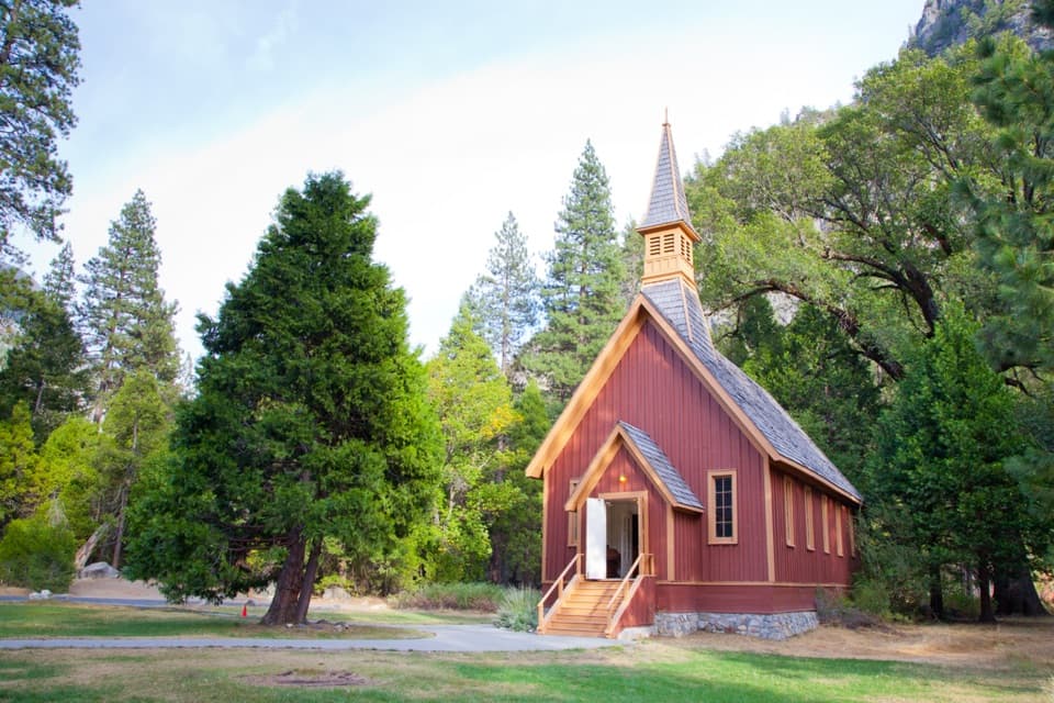 Sight · 0.7 mi awayYosemite ChapelA quiet history stop with a meadow view of the falls.
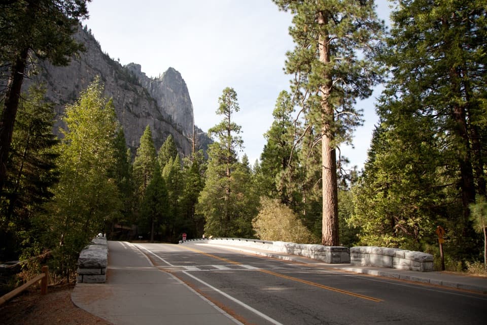 Sight · 0.9 mi awaySentinel BridgeHalf Dome’s river reflection, right from the bridge.
 Picnic area · 1.1 mi awayEl Capitan Picnic AreaPicnic tables and February access to Horsetail Fall’s elusive glow.Sight · 1.1 mi awayCook's MeadowA level meadow walk gives you the classic Half Dome view.
Parkwolf’s Yosemite ranking
The audio tour guide for the drive, plus offline maps, trails, and wildlife heatmaps for when the signal drops.