
Place · 4.7 mi away
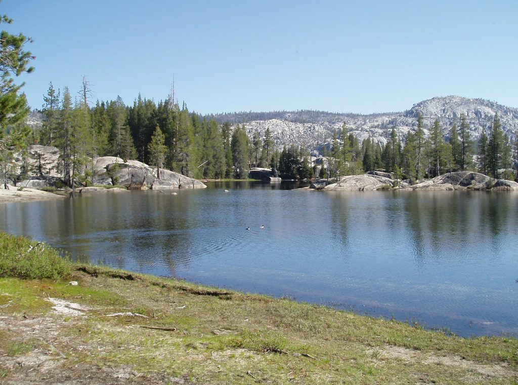
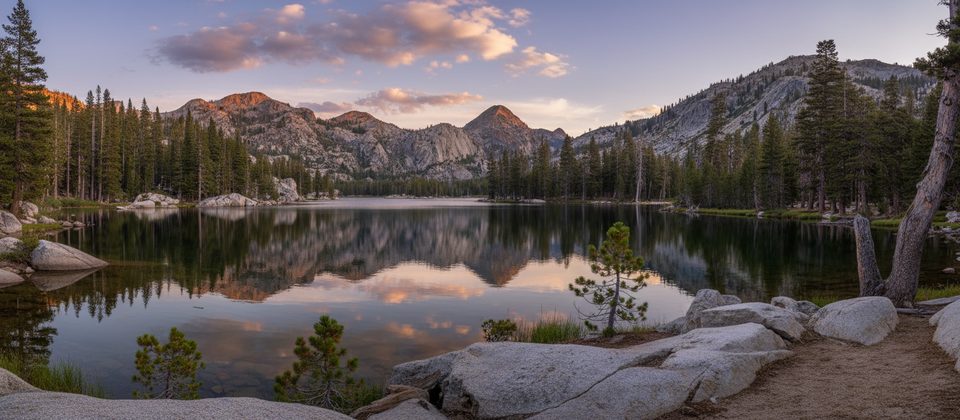
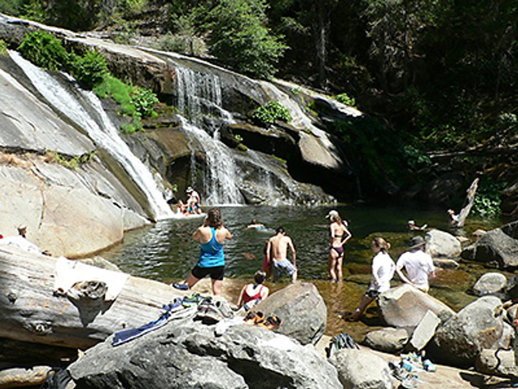
Kibbie Lake is a remote, hike-in alpine lake ringed by granite slabs and pines—exactly the kind of Sierra scene people dream about. It’s known for solitude, clear water that’s pleasant for a dip in season, and broad granite benches that make for scenic camps. Access is by trail (or horseback), so you earn every view.
Most hikers reach Kibbie via the Cherry Lake area. Cross the Cherry Lake Dam and continue to the Kibbie Ridge (aka Shingle Springs) trailhead. From there, a shorter out-and-back runs roughly 4 miles one way to the lake with modest net gain. A longer loop option (commonly logged around 12–15 miles with about 2,500 feet of gain) ascends via Cherry/Kibbie Creek and returns on Kibbie Ridge. There’s a signed fork early from Kibbie Ridge: right to Kibbie Lake, left toward Styx Pass/Emigrant.
Expect a real workout. Sections are exposed and hot, and water can be scarce until you’re near the lake—carry what you need. During high snowmelt, Kibbie Creek can swell and make crossings spicy. Early season may also bring lingering snow or swampy meadows, and the road across the dam can close, adding extra approach miles. The path can be faint in spots; offline maps/GPS help keep you on track.
Kibbie shines as a first backpacking destination or a mellow overnight from Kibbie Ridge. You’ll find numerous sandy/flat benches and granite pads above the shore. For overnight trips, a wilderness permit is required; reservations open months in advance with limited first-come release closer to the date. Fees apply, permits are picked up in-park, and proper food storage (bear-resistant canister) is required. Expect mosquitoes in season and practice Leave No Trace.
The setting is classic Yosemite country—clean granite, clear water, and big, quiet nights. Some parties paddle small inflatables across the lake to reach extra-secluded shore camps, but off-trail forays beyond the lake quickly turn steep and brushy, so only attempt them if you’re experienced.
You’ll be walking through the heart of Yosemite’s granitic terrain—hard, interlocking crystals formed deep underground and later revealed by uplift and erosion. Glaciers further sculpted this country into the domes and slabs you see around the lake, which make for excellent camps and sunset perches.
Plan for no services: no restrooms, no potable water, no picnic tables. Park at the trailhead, carry sufficient water to start, and filter from the lake or streams when you arrive.
May through October is the typical window. Early summer can bring high creek flows and occasional road closures across Cherry Lake Dam; late summer and early fall offer steadier crossings and warm swimming. Go on weekdays for maximum solitude, start early to beat the heat on exposed stretches, and aim for golden-hour light on the surrounding granite for photography.
Place · 4.7 mi away
Place · 7.2 mi away
Place · 7.4 mi away
Place · 7.5 mi away
Challenging · 3.6 mi away
Challenging · 9.2 mi away
Challenging · 10.1 mi away
Easy · 16.7 mi away

Parkwolf Tour Guide
