Pros & cons
PROS
- Iconic valley views from easy, well-known viewpoints
- Spring adds the tall, seasonal Sentinel Fall beside the cliff
- Serious rock climbing objective with classic routes
CONS
- No maintained hiking trail to the summit
- Rockfall hazard near cliffs; occasional seasonal closures for raptors
Overview
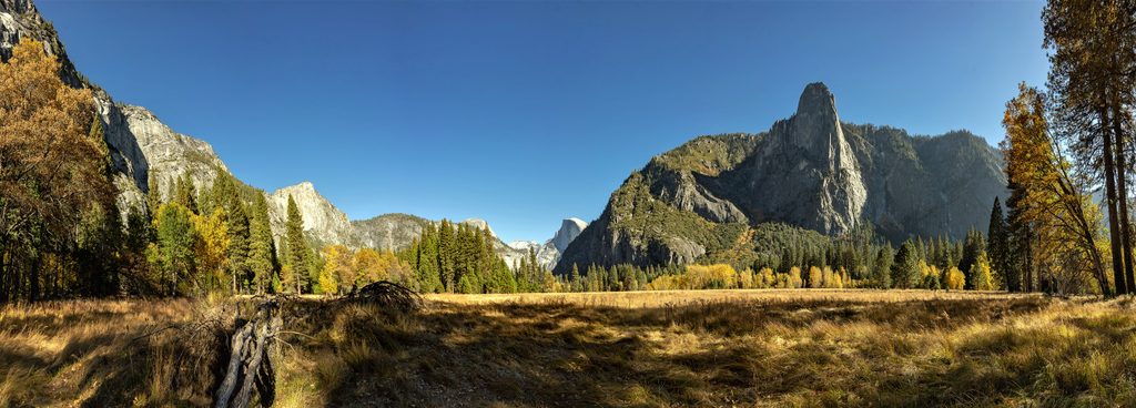
Sentinel Rock is the dramatic granite buttress on the south wall of the valley, opposite Yosemite Falls and near Sentinel Dome. It’s one of those features that keeps stealing your eye from meadows and bridges—a sheer wall of glacier‑carved granite standing guard over the Merced River.
Best viewpoints (no rope required)
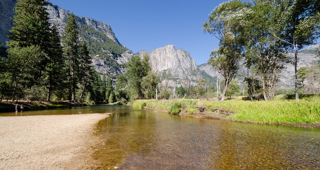
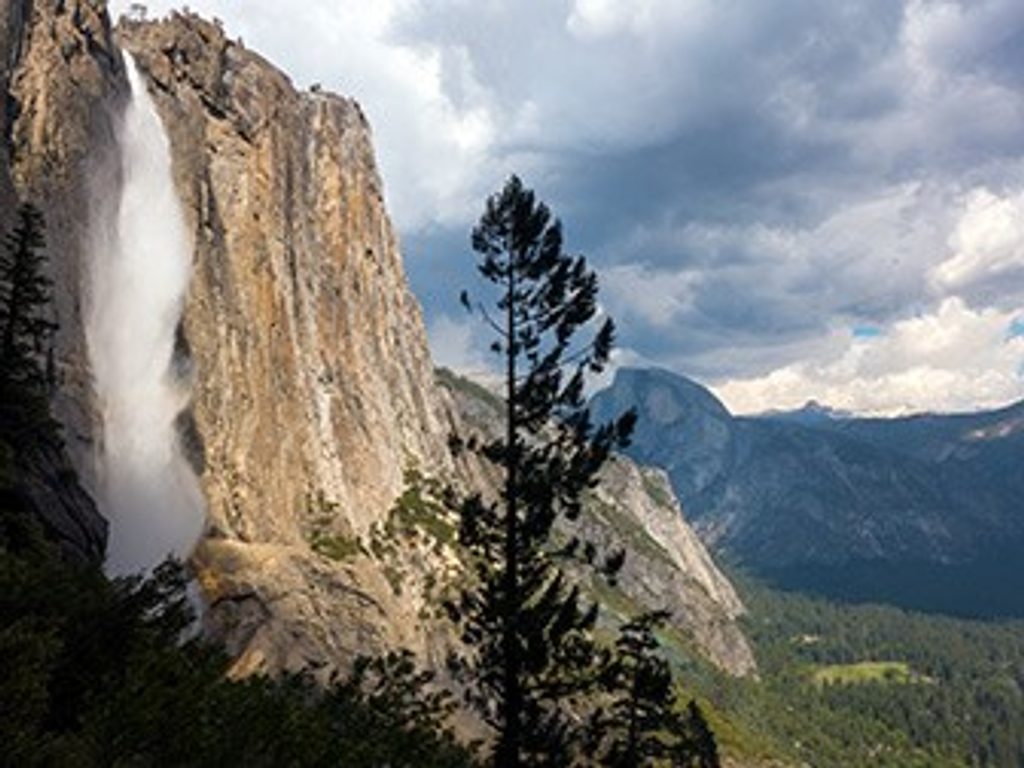
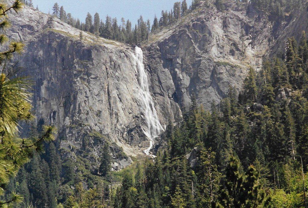
- Valley floor: Sentinel Bridge, Cook’s Meadow, Swinging Bridge, and the Yosemite Valley View turnout all frame Sentinel Rock beautifully. In spring, look for Sentinel Fall ribboning down the adjacent hanging valley.
- Tunnel View: Wider, postcard perspective with Sentinel Rock anchoring the south rim.
- Four Mile Trail: Switchbacks climb right under the south wall, serving up close, evolving angles of Sentinel Rock, Yosemite Falls, and El Capitan as you ascend.
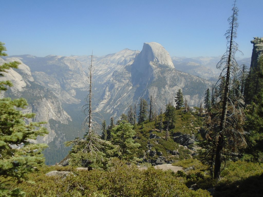
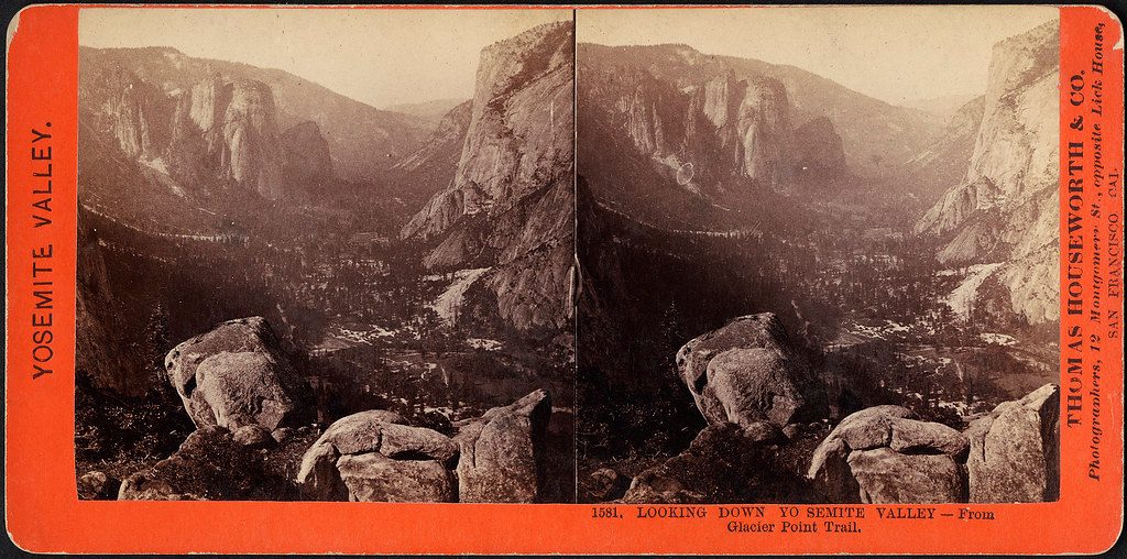
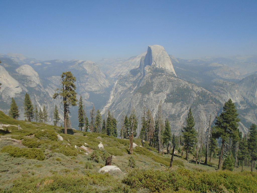
- Glacier Point and Sentinel Dome area: Big‑picture panoramas showing how the buttress fits into the valley’s architecture.
- Sentinel Beach Picnic Area: A mellow stop along Southside Drive with picnic tables and grills, open dawn to dusk, and first‑come, first‑served—great for lingering riverfront views of Sentinel Rock.
How it formed (the quick version)
This is classic Sierra Nevada granite, uplifted and then sculpted by rivers and, later, powerful Pleistocene glaciers. Those glaciers deepened the main canyon into a U‑shaped valley and left tributary hanging valleys—streams dropping from them form “hanging waterfalls” like Sentinel Fall.
Climbing vs. hiking
There’s no maintained trail to the summit. Reaching the top is a technical rock climb, and the standard descent gully is notoriously serious. If you’re not a climber, enjoy it from the viewpoints above. Climbers should check for seasonal peregrine falcon nesting closures on affected routes.
Wildlife to watch for
Mule deer graze the meadows, coyotes and ravens patrol the valley, and cliff‑nesting raptors (including peregrine falcons) work these walls. Black bears live here too—observe from a distance and keep all food stored properly.
Safety and practicalities
Rockfall is an ongoing natural process—avoid lingering directly beneath cliffs and respect any posted closures. Parking near the popular viewpoints fills early on fair‑weather days; the free valley shuttle is handy for the Four Mile Trailhead. There’s no water on Four Mile—carry your own.
Best time to visit
- Spring: Peak flow for Sentinel Fall and lush meadow foregrounds.
- Late afternoon to evening: Warm side‑light and alpenglow on the south wall.
- Winter: Gorgeous, stark views from the valley floor; check road/trail status before attempting higher viewpoints.
Where it is
37.7288, -119.5943Tips for Sentinel Rock
- 01For the most dramatic context, pair Tunnel View with a valley meadow stop.
- 02Hit the Four Mile Trail at sunrise for cooler temps and easier parking.
- 03Bring binoculars in spring to spot Sentinel Fall and cliff‑nesting raptors.
- 04There’s no hiking trail to the summit—enjoy it from viewpoints unless you’re climbing.
- 05Use the free valley shuttle to reach the Four Mile Trailhead when lots fill.
Amenities
Near Sentinel Rock
All places →All trails →
0.3 mi awaySentinel FallSpring‑only ribboning waterfall beneath Sentinel Rock, best from Valley pulloutsPullout · Parking
0.5 mi awayFour Mile TrailNonstop switchbacks to Glacier Point with Yosemite’s best valley views.Challenging · 4.8 mi · 3.5 hr
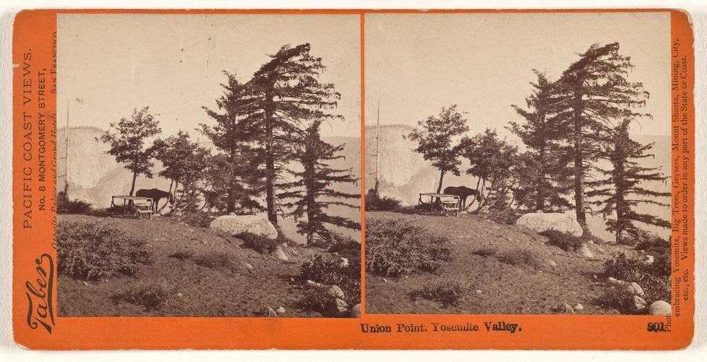
0.5 mi awayUnion PointMid-trail overlook with sweeping views of Yosemite Falls and Half DomeScenic Viewpoint
0.6 mi awaySwinging Bridge Picnic AreaRiverside picnic spot with Yosemite Falls front and centerPicnic Table · Restroom
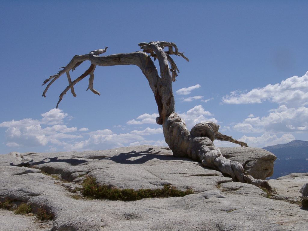
0.7 mi awaySentinel DomeShort hike to one of the best 360-degree viewsTrailhead · Parking
1 mi awayUpper Yosemite Falls TrailSteep switchbacks to the brink of Yosemite’s thundering Upper FallChallenging · 7.2 mi · 7 hr
1.1 mi awayGlacier Point TrailIconic Half Dome views via a short, paved stroll along the rim.Easy · 0.6 mi · 18 min
1.1 mi awayPanorama TrailBig-view descent from Glacier Point past Illilouette, Nevada, VernalChallenging · 8.5 mi · 5.5 hr