Challenging

Panorama Trail

Big-view descent from Glacier Point past Illilouette, Nevada, Vernal
Panorama Trail, Yosemite National Park
Distance8.5 mi
Typical time5.5 hr
DifficultyChallenging
PetsNot allowed

Overview

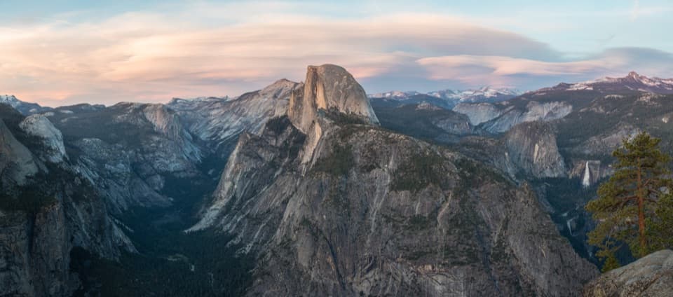
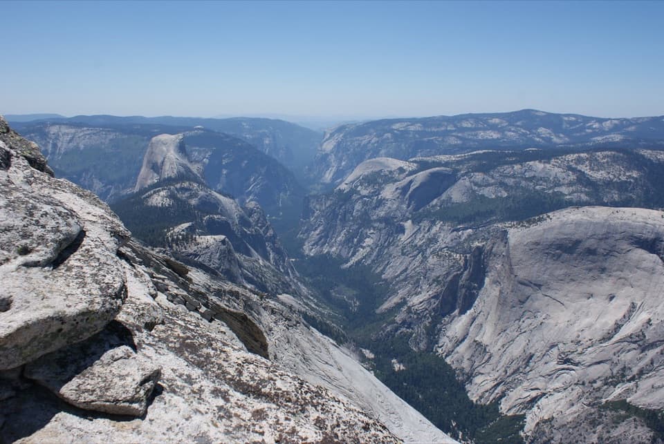
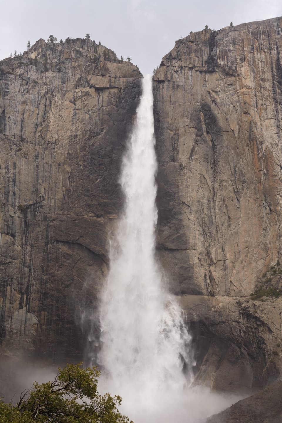
If you want Yosemite’s greatest-hits hike in one go, this is it. The Panorama Trail runs about 8–8.5 miles one way from Glacier Point down to Happy Isles, stringing together sweeping Half Dome and Valley vistas with three major waterfalls: Illilouette, Nevada, and Vernal. You’ll drop roughly 3,200 feet overall, with one honest 700-foot climb after crossing Illilouette Creek. Most hikers go downhill from Glacier Point; it’s still strenuous, but far kinder than grinding up from the Valley.

Route Experience

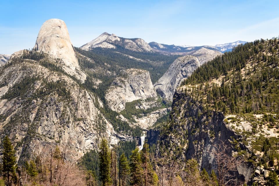
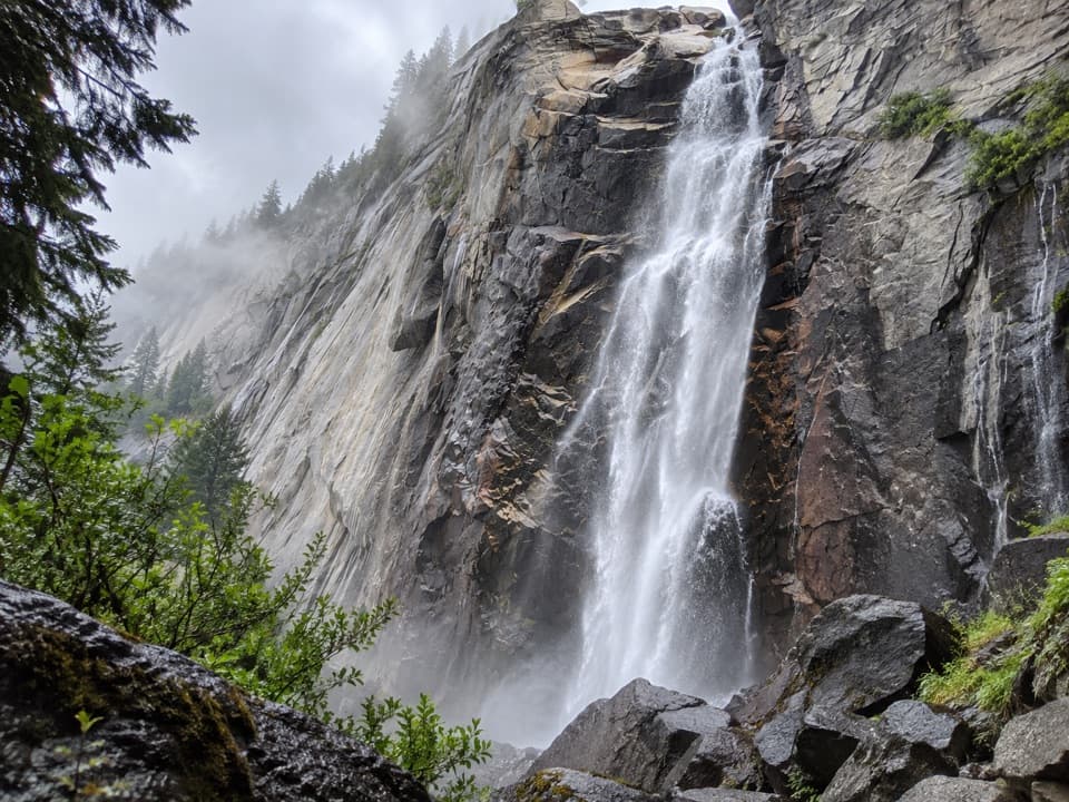
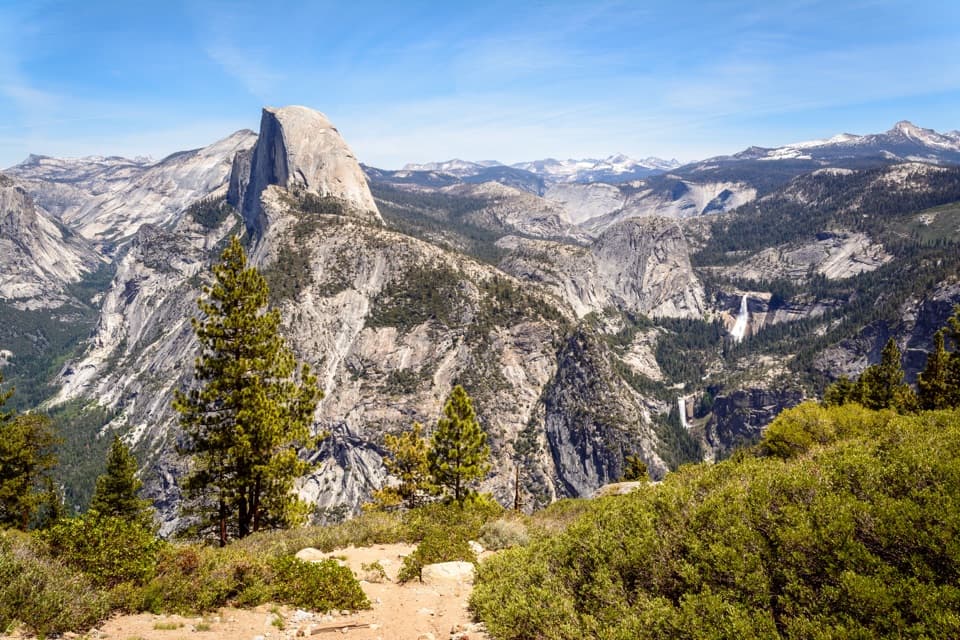
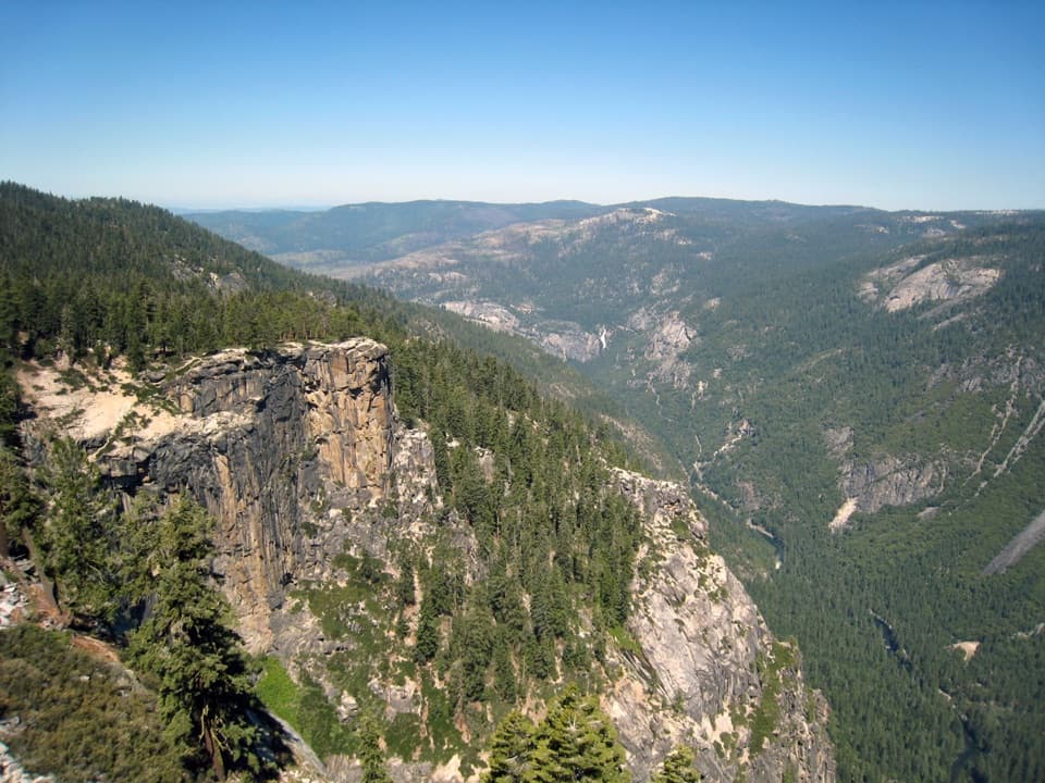
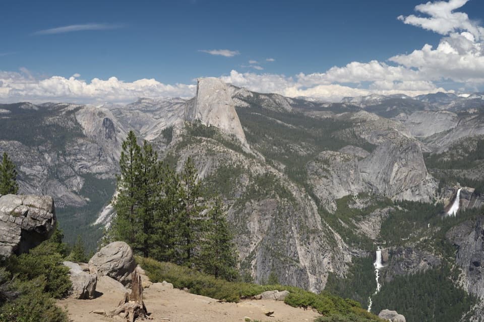
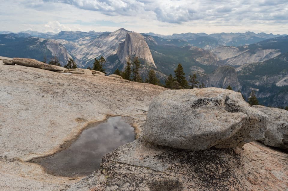
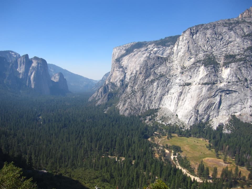
From Glacier Point’s balcony views of Half Dome and the Clark Range, the trail descends to an overlook of Illilouette Falls, then to a bridge across Illilouette Creek. Catch your breath—an exposed switchback climb follows, leading to the Panorama Cliffs traverse with big looks across to Yosemite Falls when it’s running. Near here is an unsigned spur to Panorama Point: a short detour with massive views, but treat the edges with caution. The trail continues to the top of Nevada Fall, where you choose your finish: the Mist Trail’s spectacular, steeper granite steps (often wet and slick in spring/early summer) past Nevada and Vernal Falls, or the John Muir Trail, longer but gentler on knees with airy views toward Nevada Fall and Liberty Cap.

Logistics That Matter

Because it’s a one-way, plan your exit before you start. The classic setup is to park in Yosemite Valley and take the Glacier Point Tour bus up (common departures are in the morning and early afternoon; tickets are sold in advance and in-park). A two-car shuttle also works. Restrooms are available at Glacier Point, above Nevada Fall, above Vernal Fall, and near Happy Isles; you can find potable water near the Vernal Fall footbridge at the bottom. Trails are well signed, but bring your own map and plenty of water—there are no services along the middle miles.

Difficulty, Timing, and Season

Downhill doesn’t mean easy: long descents pound the knees, and the mid-hike climb can be hot and exposed. Expect 4.5–7 hours depending on pace, photo stops, and whether you take the Mist or John Muir finish. The best window is late spring through early summer when Glacier Point Road is open and the waterfalls are booming; start early to beat heat and crowds and to secure bus seats. Late season brings drier steps and clearer air, but lower flows.

What You’ll See

This hike is a rolling highlight reel: continuous Half Dome and Valley panoramas, Illilouette’s cascade, and up-close encounters with Nevada and Vernal Falls. In spring and early summer, keep an eye (and ear) out for displaying blue grouse near the upper sections.

Tips from the Trail

  • Knees sensitive? Opt for the John Muir Trail from Nevada Fall. Want the classic, dramatic finish? Take the Mist Trail—but expect spray and slick granite when flows are high.
  • The spur to Panorama Point is worth it for confident hikers; it’s unmarked with drop-offs—use judgment.
  • Check for any rockfall or trail closures near the Mist Trail before you commit. No permit is needed for day hiking here, but pets aren’t allowed on this dirt trail.

Is It Worth It?

Absolutely—this is one of Yosemite’s most scenic day hikes. If you want an even bigger day, some hikers connect the Four Mile Trail up to Glacier Point and descend Panorama for a demanding 14-mile tour. Otherwise, stick with the downhill Panorama and savor the views—it’s the park’s bang-for-buck blockbuster.

Pros

  • Two distinct finishes (Mist vs. John Muir) let you tailor knee impact vs. scenery.
  • Unusual amenity coverage for a backcountry-feeling route: multiple restrooms and a water point near the bottom.

Cons

  • One-way logistics require advance bus tickets or a two-car shuttle.
  • Mid-route 700-foot climb is hot and exposed, catching downhill hikers off guard.
  • Long granite-step descents can be punishing on knees, especially via the Mist Trail.

Parking

Most hikers park in Yosemite Valley and take the Glacier Point Tour bus one-way up to Glacier Point, then hike down to Happy Isles. Alternatively, stage two cars—one at Glacier Point and one in the Valley.

Caution

Exposed drop-offs near Illilouette overlook and Panorama Point; slick, steep Mist Trail steps in high flow; a hot 700-foot climb after Illilouette Creek; potential rockfall-related closures near the Mist Trail; seasonal access dependent on Glacier Point Road.

The Parkwolf tour guide sitting on a phone mounted in a car

Parkwolf Tour Guide

Like a tour guide in your car.

Bring Yosemite trail research into the car, with offline maps and stories that play as you drive.Download Parkwolf on the App Store