
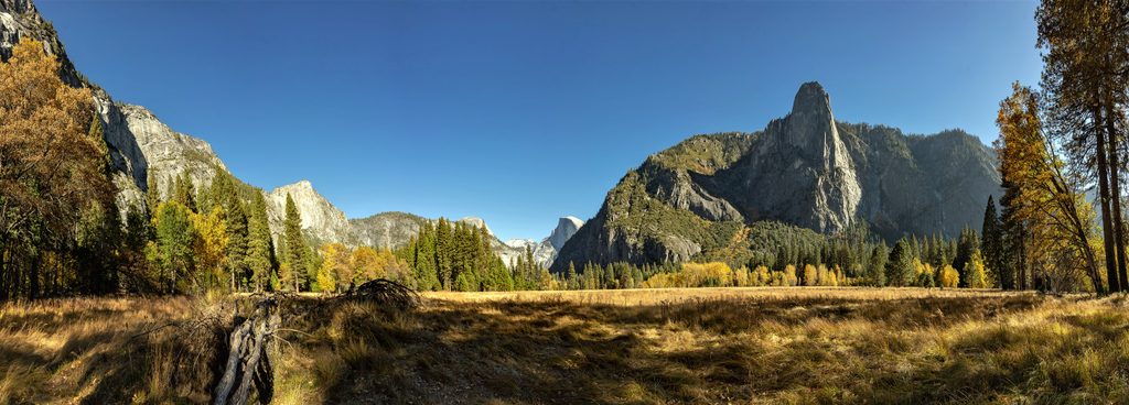
Place · 0.3 mi away
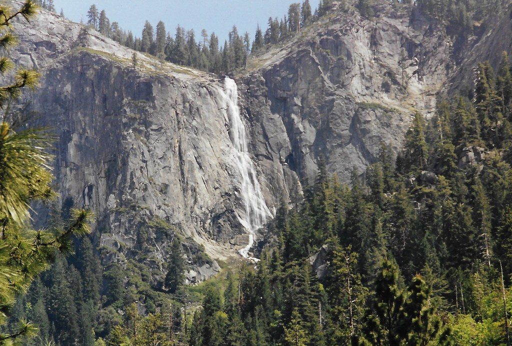
Sentinel Fall is a tall, multi‑tiered waterfall dropping from the south rim of the Valley beside Sentinel Rock. It stair‑steps more than 2,000 feet from Pothole Meadows toward the Valley floor, with individual cascades ranging from roughly 50 to 500 feet. It’s a seasonal show—think elegant ribbons rather than a single straight plunge—and when it’s running, it adds a graceful accent to the south wall.
This is a snowmelt‑fed waterfall that typically flows in spring (roughly March–June), with peak display around May in an average year. Expect a substantial drop‑off by mid to late summer.
Spring is the sweet spot. Morning light treats the south wall kindly, and meadows along Northside Drive make for cleaner compositions. Arrive early—Valley parking often fills by mid‑morning, and seasonal peak‑hours entry reservations may apply on certain dates. After spring storms, check again: brief surges can bring the tiers back to life.
There’s no signed Sentinel Fall parking lot or dedicated overlook. The closest facilities are at Sentinel Beach Picnic Area (picnic tables, grills, vault toilets, trash/recycling). Bring your own drinking water and use caution near the Merced River.
A telephoto lens helps isolate the many tiers. From Northside Drive meadows, morning light paints the face evenly; from Southside Drive, look for side‑light and wind patterns that fan the ribbons of water.
Four Mile Trail is strenuous and can be wet and slick in spring—turn around whenever you’ve had your fill of views. Stay well back from cliff edges and swift water. In picnic/parking areas, keep food within arm’s reach and use bear‑proof receptacles.
The cliffs framing Sentinel Fall are carved into tough Sierra Nevada granite. Glaciers sculpted the Valley’s sheer walls, leaving the ledges and steps that create this fall’s distinctive multi‑tiered descent.
Place · 0.3 mi away
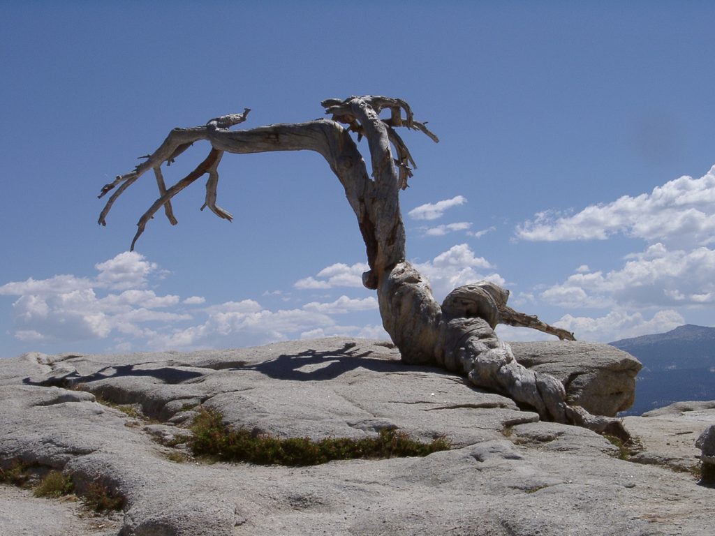
Place · 0.7 mi away
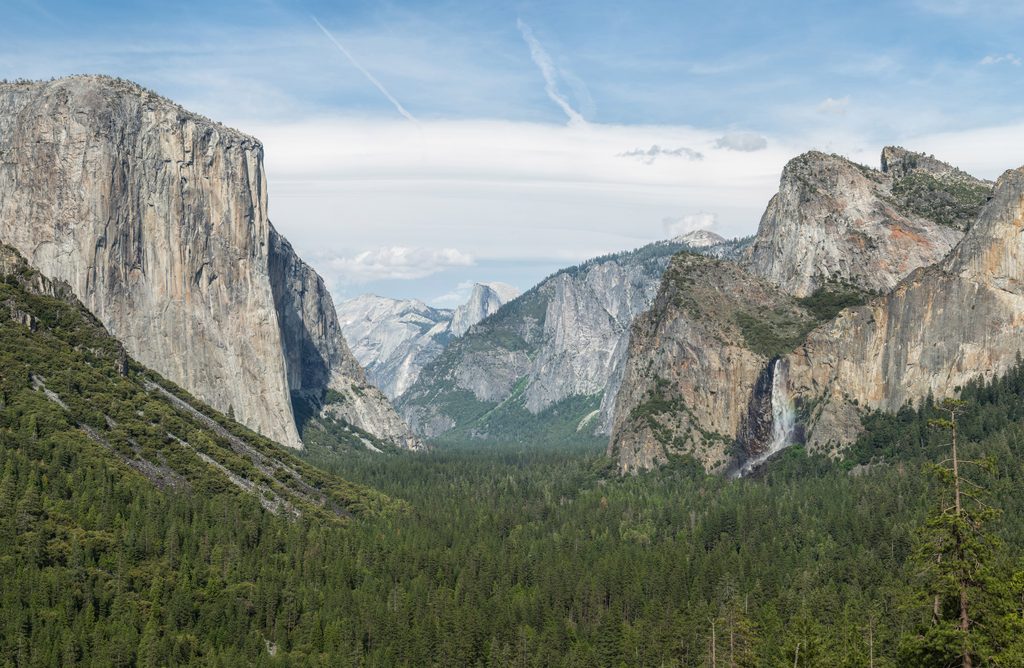
Place · 0.8 mi away
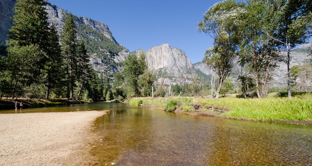
Place · 0.8 mi away
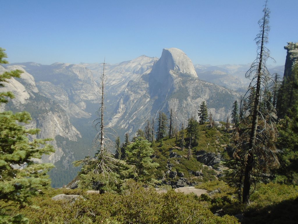
Challenging · 0.7 mi away
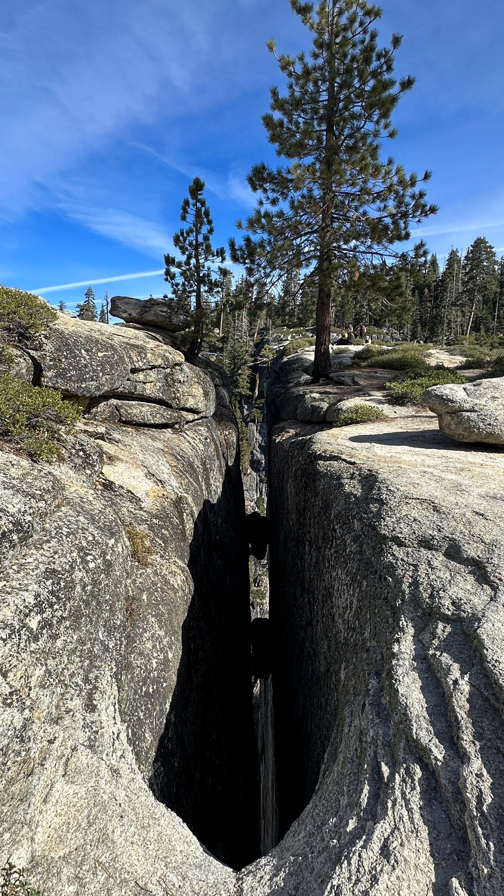
Easy · 1 mi away
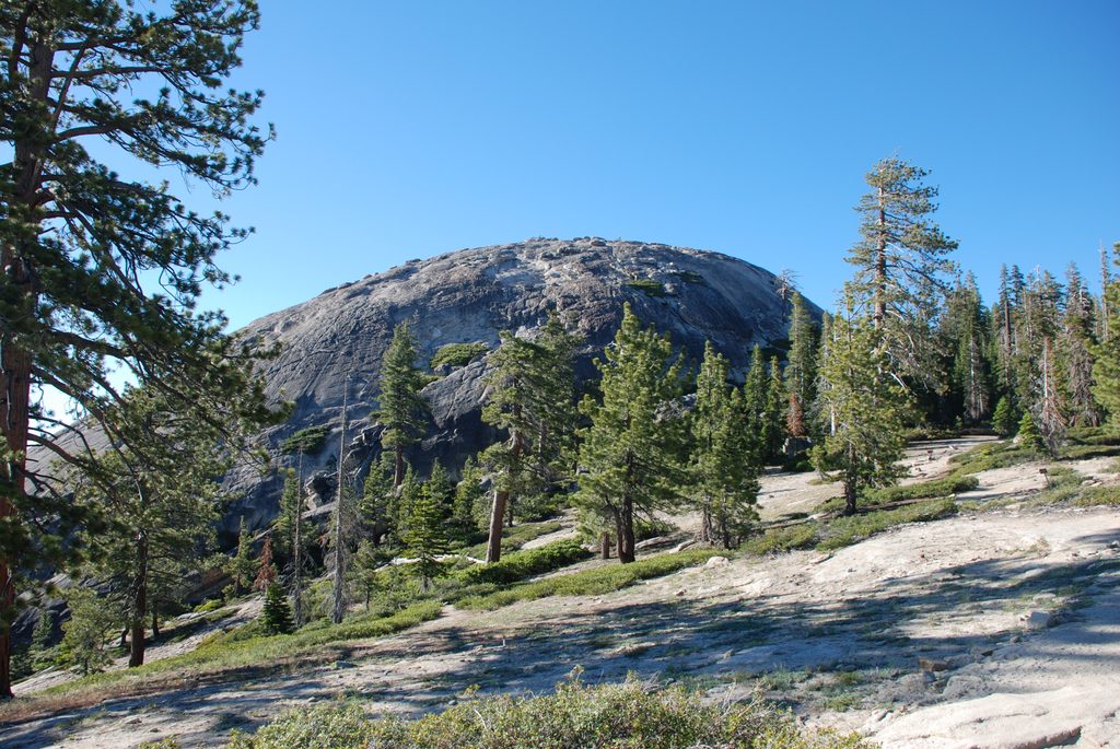
Easy · 1 mi away
Moderate · 1 mi away

Parkwolf Tour Guide
