
Place · 0.3 mi away
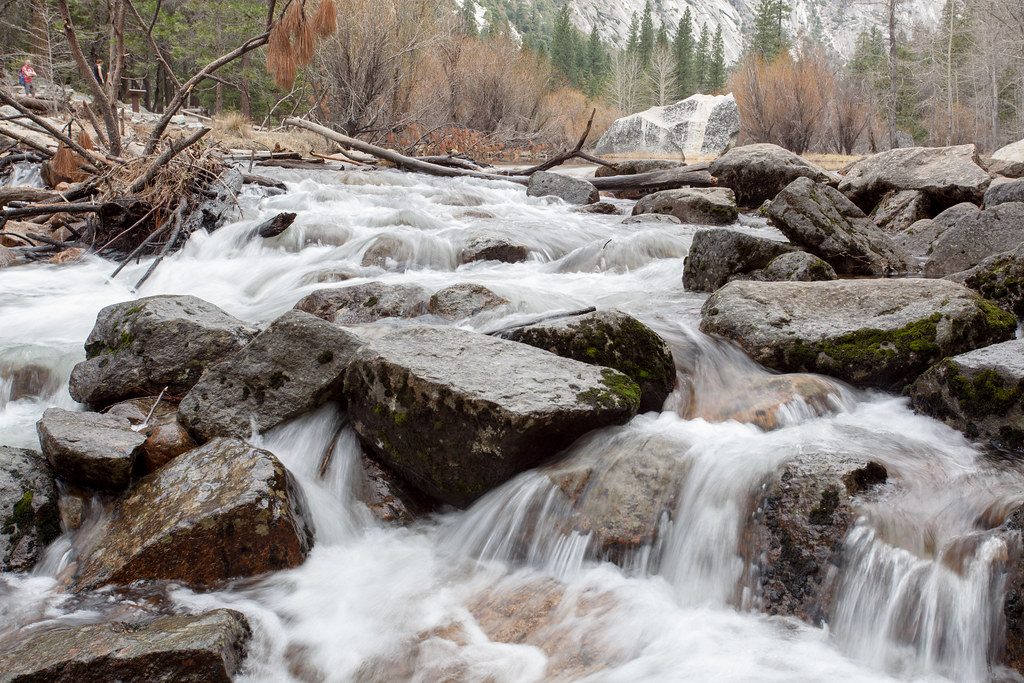
The Cascades are a set of roadside waterfalls on Cascade Creek near the park’s western approach. Think of it as a quick, rewarding pullout rather than a destination hike—the flow can be tremendous in spring and modest to nonexistent later in the year.
In peak runoff, the creek shoots down polished granite in frothy chutes and slides—loud, photogenic, and very close to the road. When flows drop, it’s more of a pleasant roadside ripple; worth a glance, but not a headliner compared to the Valley’s big falls.
You’ll get the easiest look from El Portal Road (CA‑140) as you drive in; there are roadside pullouts. You can also catch a quick glimpse from the Big Oak Flat Road bridge over Cascade Creek, but views are more limited from that side. Across the road, the Cascades Picnic Area makes this a handy stop: expect parking, picnic tables, and restrooms. There isn’t a formal trail—this is a look-and-go stop.
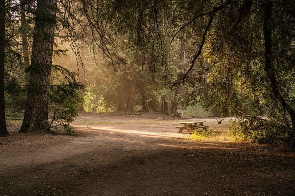
The Cascades Picnic Area (on El Portal Road between the Arch Rock Entrance and the Valley) typically has picnic tables, grills, parking, and vault toilets, and it’s open year‑round. Don’t expect potable water—bring what you need.
During spring and early summer, water in the Merced River corridor is powerful and cold. Slick granite near the creek is no joke—keep well back from swift water, especially during peak runoff.
This corridor often hosts deer and a mix of birds along the creeks and river. Enjoy from a distance, secure your food, and never approach or feed wildlife.
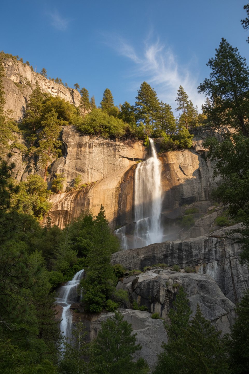
If the Cascades look underwhelming, pivot to sure‑thing spring stunners like Bridalveil Fall or the Yosemite Falls viewpoints in the Valley—both are quick to access and reliably rewarding in high water.
Place · 0.3 mi away
Place · 0.3 mi away
Place · 0.6 mi away
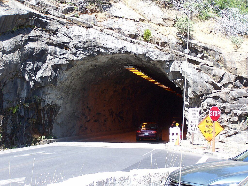
Place · 1.7 mi away
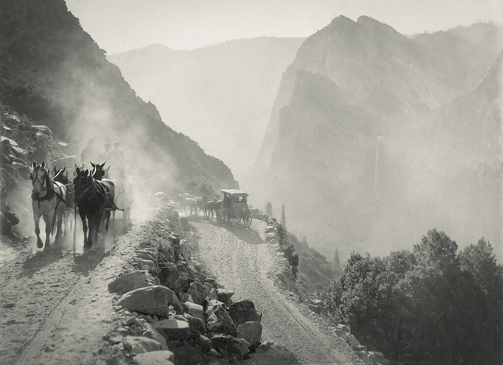
Challenging · 1.5 mi away
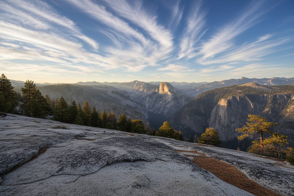
Challenging · 2 mi away
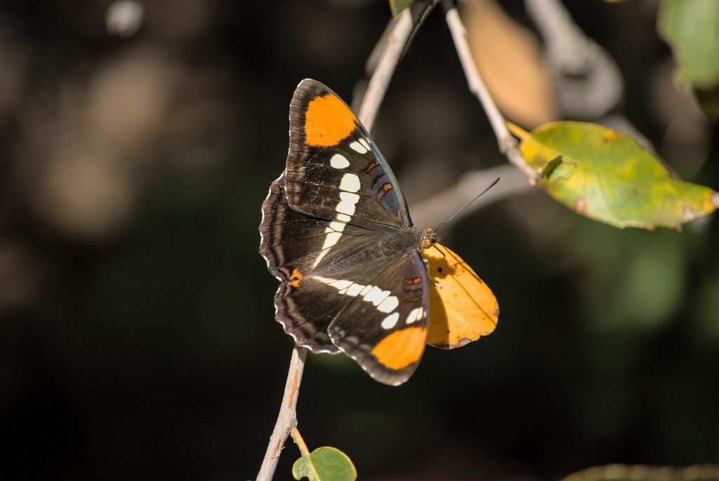
Easy · 2.1 mi away
Challenging · 2.2 mi away

Parkwolf Tour Guide
