
Place · 0 mi away
Challenging
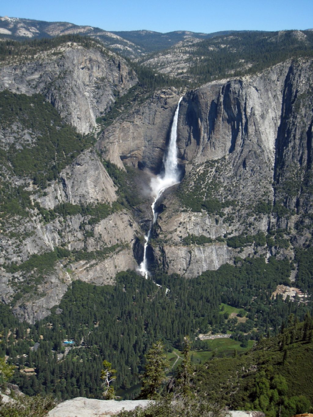
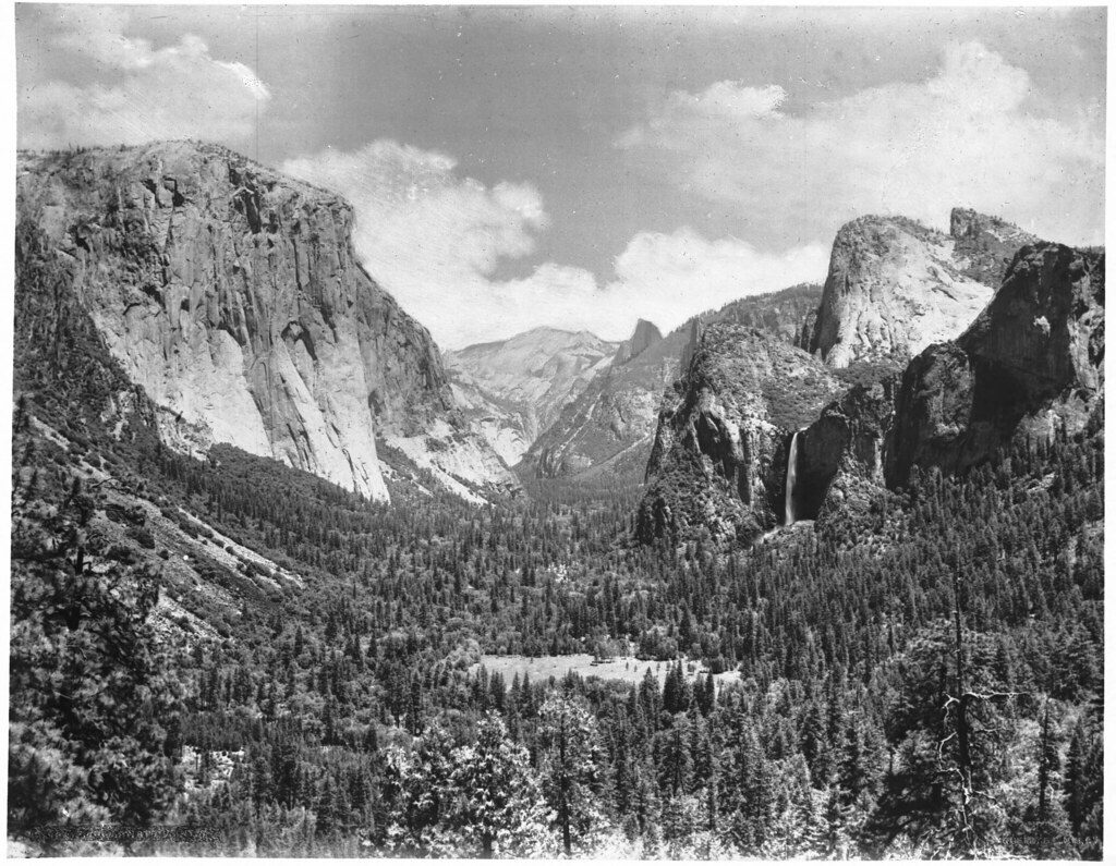
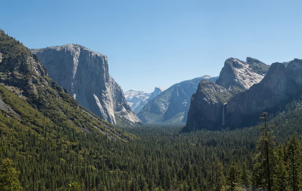
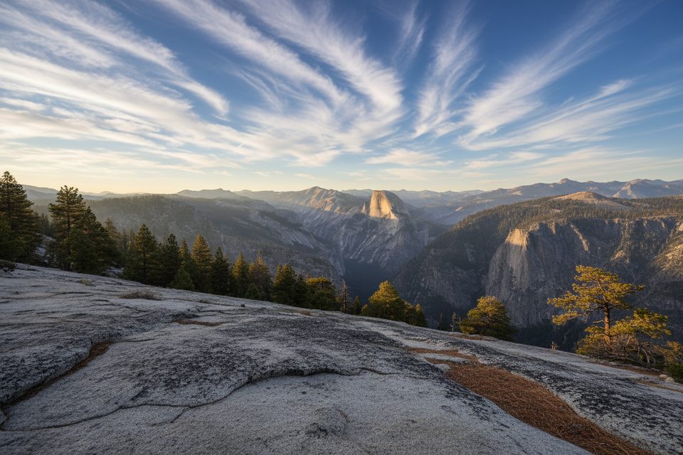
The Pohono is Yosemite Valley’s south rim traverse: 13 miles one way between Glacier Point (7,200 ft) and Tunnel View (4,400 ft). It strings together the park’s greatest overlooks—Taft Point, Dewey, Crocker, Stanford, and Inspiration Points—with constant panoramas of Half Dome, El Capitan, and Yosemite and Bridalveil Falls. Expect a real hike, not just overlook hopping: long miles, rolling climbs, and stretches of quiet forest between the big vistas.
Both directions are strenuous, but east to west (Glacier Point → Tunnel View) is friendlier thanks to a net descent. Starting from Tunnel View is a lung-buster: about 2,000 feet up in the first couple miles to gain the rim, plus more climbing later near Bridalveil Creek to Taft Point. Tagging Sentinel Dome is an optional spur that adds a short, steep bonus and ~300 feet more gain. Tread is rocky and uneven near Tunnel View—save some concentration for the final miles if you’re heading west.
Between Taft Point and Dewey Point the trail pulls back from the rim for roughly four miles; views thin out and you’re in mixed pine and aspen forest. The upside: solitude. Once you’re past the Taft Point crowds, it can feel surprisingly quiet for such a marquee route.
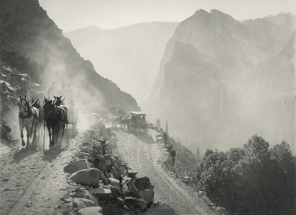
This is a point-to-point. The most reliable plan is two cars—one at each trailhead. The seasonal tour bus to Glacier Point can help with positioning, but one‑way seats and drop‑offs aren’t guaranteed, and valley shuttles don’t serve Tunnel View. Build a backup plan. If you end at Tunnel View without a ride, skip the highway walk and use the old stagecoach road via Artist Point to reach the Bridalveil Fall parking area instead. Bathrooms are at Glacier Point and at the Bridalveil Fall lot (about two miles below Tunnel View). There’s a snack stand at Glacier Point (limited hours) and bear lockers at both trailheads.
Carry ample water. Seasonal streams can run low or stagnant later in the year; Bridalveil Creek is the most reliable source—treat or filter. For backpackers, dispersed camping is allowed with a wilderness permit (the Artist Creek to Bridalveil Creek zone is commonly used), and proper food storage is mandatory.
Glacier Point Road typically opens mid‑May to early November. Prime season is May–October, with lingering snow early (and sometimes into June after big winters). Start early for cooler temps, calmer winds on the rim, and softer light at the viewpoints. Expect mosquitoes in the wooded stretches early summer; they’re rarely a bother on the breezy granite points.
If you’re after an all‑day, greatest‑hits rim tour with fewer crowds than the valley’s staircase trails, this is your move. If you only want quick jaw‑drop views with minimal effort, consider doing Taft Point or Sentinel Dome as stand‑alone outings instead—the Pohono’s middle miles trade views for forest and miles.
Length: 13 miles (one way). Plan 5–10 hours depending on direction, pace, and stops; most hikers who linger at viewpoints take around 7–9 hours.
Park at Glacier Point or Tunnel View. Arrive early in peak season. If hiking point‑to‑point, stage a second vehicle; nearest restrooms to the west end are at Bridalveil Fall parking.
Steep grades (especially from Tunnel View), rocky footing near the west end, lingering early‑season snow, scarce late‑season water, and complicated point‑to‑point transport. Pets are not allowed.
Place · 0 mi away
Place · 0.1 mi away
Place · 0.5 mi away
Place · 0.6 mi away

Easy · 0.1 mi away
Easy · 1.4 mi away
Challenging · 3.3 mi away
Challenging · 4 mi away

Parkwolf Tour Guide
