
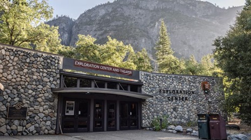
Place · 0.2 mi away
Moderate
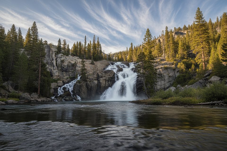
A Yosemite high-country classic, this out-and-back follows the Tuolumne River from the broad, airy meadows of Tuolumne Meadows down to granite gorges, Tuolumne Falls, and the frothy White Cascade beside Glen Aulin High Sierra Camp. Plan on about 13 miles total; it’s mostly gentle at first, then rockier and steeper as you approach the falls and camp. It’s gorgeous—and yes, you’ll pay back the downhill on the hike out.
Start near Parsons Lodge/Soda Springs in Tuolumne Meadows and head downstream along well-trodden singletrack that shares stretches with the PCT/JMT. The first half is mostly flat across wildflower meadows and open lodgepole forest with big dome-and-peak views. Around the three‑mile mark the tread grows rockier as the river tightens into cascades. You’ll pass Tuolumne Falls (a popular turn‑around for a shorter day) before descending to the White Cascade and the Glen Aulin area. Cross the bridge near the High Sierra Camp for one of the best vantage points over the cascade and its pool.
Overall difficulty is moderate to moderately strenuous due to distance, altitude (~8,500 ft at the trailhead), and the rocky, steeper sections near the falls. The net is about a 600‑foot descent to Glen Aulin—meaning a noticeable uphill grind on the way back. Expect bugs—especially past White Cascade in season—and expect company; this is a popular corridor from Tuolumne Meadows. You may encounter pack horses supplying the High Sierra Camp; step off the downhill side and yield.
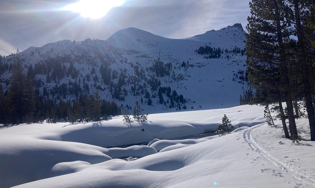
This is a high‑elevation, snow‑dependent trail. Access typically opens in late May or early June when the Tioga Road corridor reopens, with late summer into fall offering the most stable footing, lower river flows (better for wading/swimming), and fewer muddy sections. Start early to beat both crowds and afternoon thunderstorms, and for softer light on the meadows and river.
Early season river features are powerful; keep a safe distance from slick granite near the edge and save swimming for late summer when flows drop. Weather changes fast at elevation—pack layers and rain gear.
Park at the Tuolumne Meadows Visitor Center lot and walk to Parsons Lodge/Soda Springs to join the trail. Avoid roadside parking (citations possible). Bear lockers are available for all scented items.
Powerful early‑season flows—keep back from slick granite near falls. Afternoon storms are common; carry layers. Yield to pack stock. High bear activity—store all scented items in lockers. The rocky descent to Glen Aulin means an uphill grind on the return.
Place · 0.2 mi away
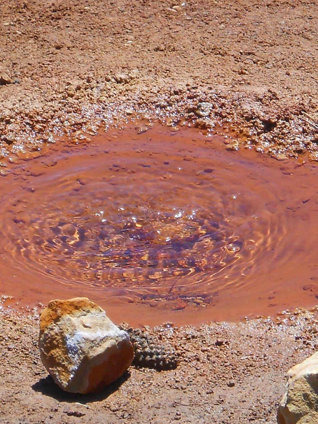
Place · 0.5 mi away
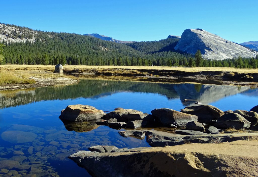
Place · 0.6 mi away
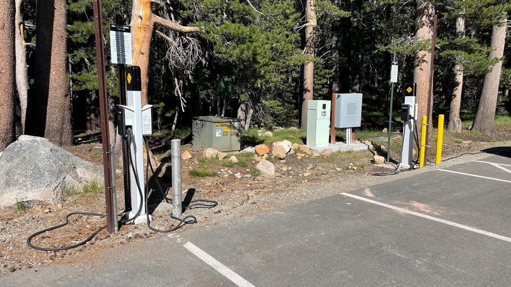
Place · 0.7 mi away
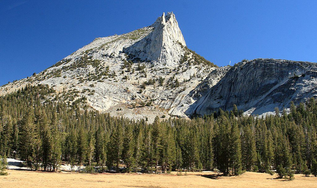
Challenging · 0.7 mi away
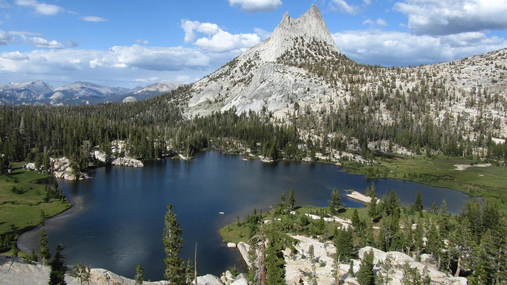
Moderate · 0.7 mi away
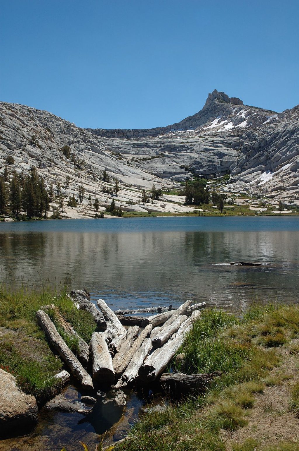
Challenging · 0.7 mi away
Moderate · 0.8 mi away

Parkwolf Tour Guide
