Parking
Use the day-use area before the equestrian camp, then follow the campground road to the trailhead behind Tuolumne Meadows Campground’s B Loop. Vehicle access is seasonal with Tioga Road.
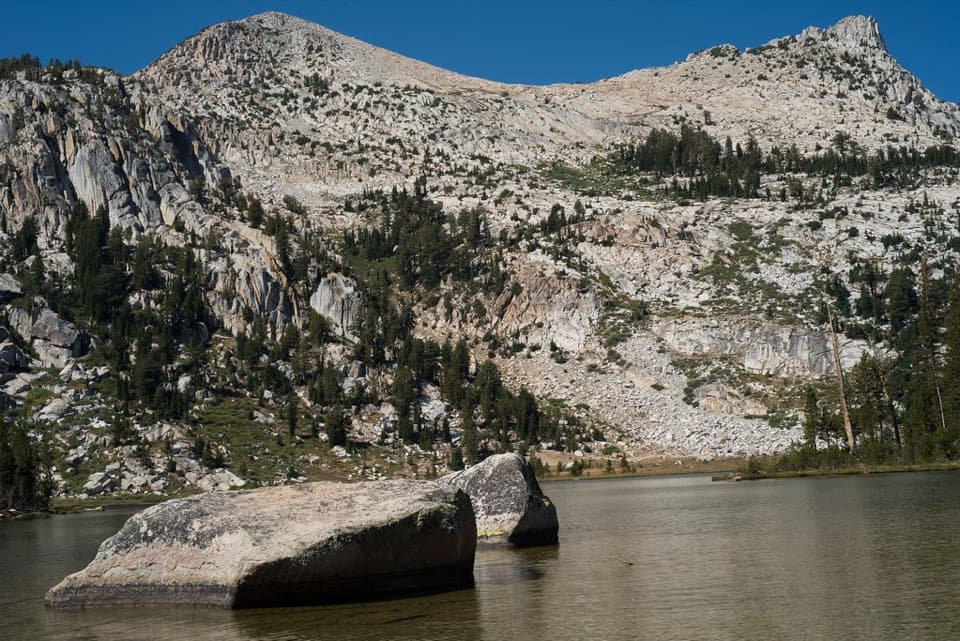
Yosemite National Park, CA
A steady climb to a high lake below Unicorn Peak.
Overview
Map & elevation
Plan your hike
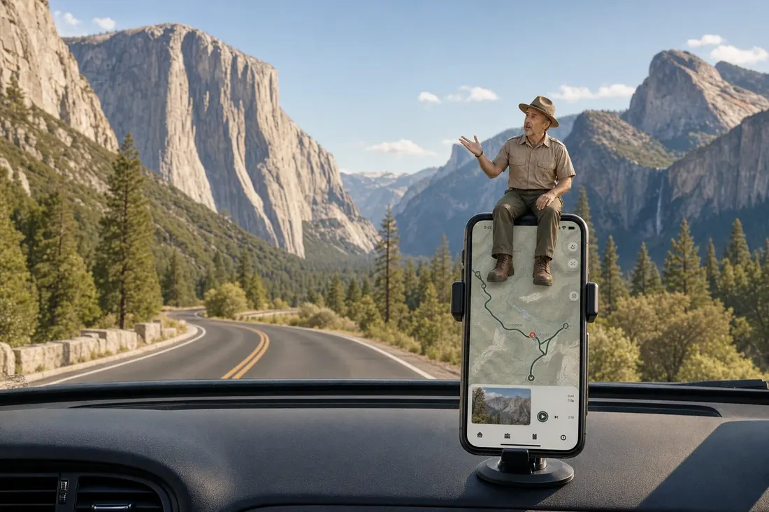
“Up ahead is Tuolumne Meadows Store and Grill, a useful stop for a meal or supplies during a high-country day.”
Yosemite Tour Guide
Parkwolf is a GPS audio tour guide for Yosemite National Park. As you drive, it chimes in with what’s ahead: hidden gems, upcoming stops, history, geology, and wildlife, right through your car’s speakers.
See the Yosemite audio tourRecorded for this trailhead
Tuolumne Meadows Store and Grill“Up ahead is Tuolumne Meadows Store and Grill, a useful stop for a meal or supplies during a high-country day.”
Plays as you drive up to this trailhead in the Parkwolf Yosemite Tour Guide.
More stories near here in the app
“We just drove through Yosemite and it made our trip listening to this app as we drove through. Like having a tour guide in the car with you.”


Trail guide
Elizabeth Lake Trail is a 4.8-mile out-and-back from the back of Tuolumne Meadows Campground’s B Loop to a glacier-carved lake below Unicorn Peak. The climb is steady rather than technical, but the trail starts above 8,600 feet and reaches about 9,500 feet, so it can feel harder than the mileage suggests. Allow four to six hours if you want time at the lake. Starting at Tuolumne Meadows Visitor Center is a longer 6.8-mile round trip.
The trail leaves from behind B Loop and reaches a John Muir Trail junction within the first few hundred yards. After that it climbs for about 1.4 miles through lodgepole pines, with little change in the view. The first real opening comes around 1.5 miles at Unicorn Creek, where a pocket meadow gives you a look southwest and south toward the Cathedral Range, including Unicorn Peak. Early-summer flowers may include Leichtlin’s mariposa lily, larkspur, and lupine.
The path bends west to Elizabeth Lake’s east shore, where Unicorn Peak rises above the water. The lake sits in a glacier-carved basin beneath the peak. A separate one-mile path circles the shoreline if you want a longer visit; the mapped out-and-back ends at the lake and returns along the same corridor.
Use the day-use area before the equestrian camp, then follow the campground road to the B Loop trailhead. Vehicle access depends on Tioga Road, which usually closes after significant snowfall. Afternoon thunderstorms can build in midsummer, and the lakeshore has less shelter than the forest; head back under the trees if storms develop. Pets and bicycles aren’t allowed on Yosemite hiking trails.
Wildlife
 732 sightingsBlack BearMost seen around 7 PMSighting map
 1,747 sightingsMule DeerMost seen around 6 PMSighting map
 332 sightingsCoyoteMost seen around 7 PMSighting map
 11 sightingsPeregrine FalconMost seen around 8 AMSighting map
 276 sightingsPikaMost seen around 8 AMSighting map
 677 sightingsYellow-bellied MarmotMost seen around 8 AMSighting map
Sighting maps show where each species has been reported across Yosemite. Wildlife moves, so no sighting is guaranteed.
Keep exploring
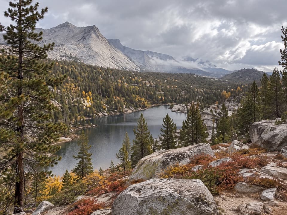 ChallengingBoothe Lake Trail15.5 mi · 10 hr · 0.5 mi awayA long high-country hike to a lake beneath the granite peaks.
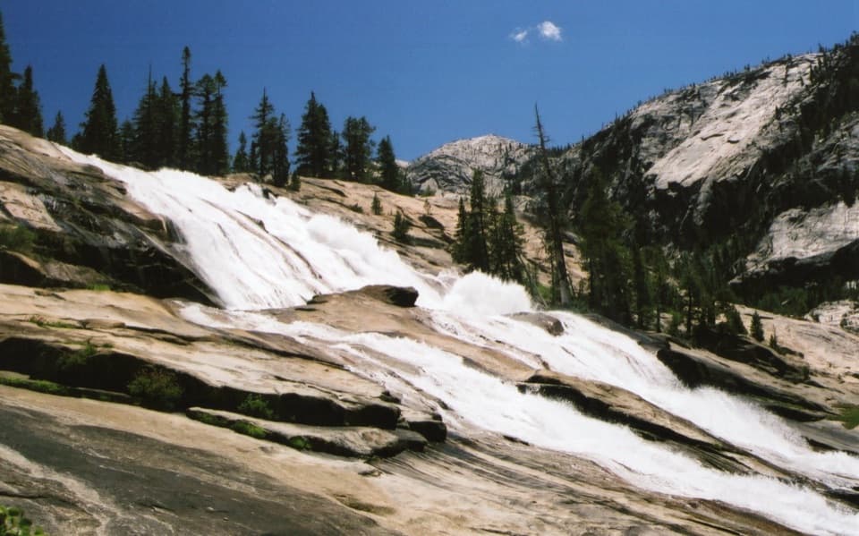 ChallengingWaterwheel Falls Trail19 mi · 11 hr · 0.5 mi awayLong Tuolumne River hike to Waterwheel Falls' signature spray.
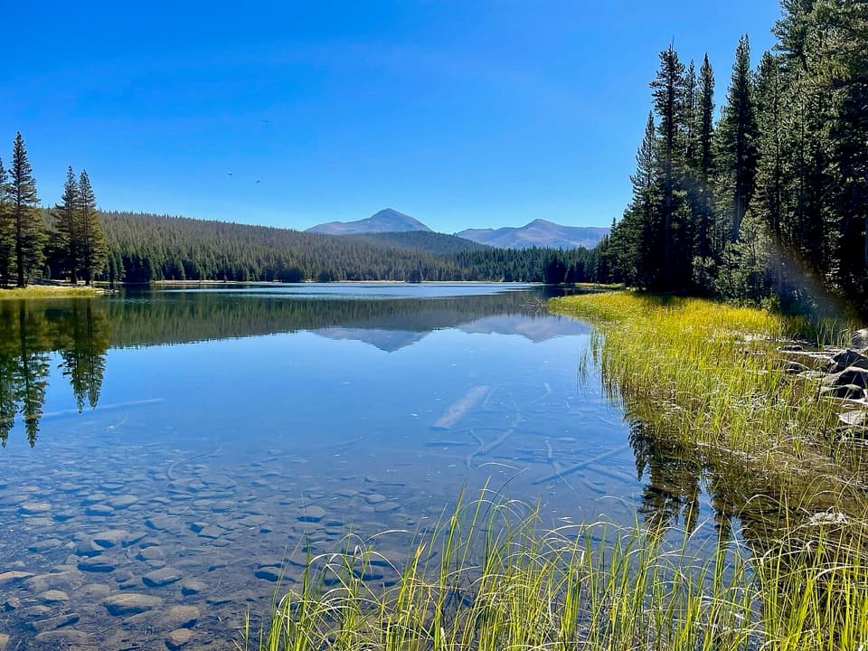 ModerateDog Lake Trail2.8 mi · 2.3 hr · 0.5 mi awayA steep climb gives way to a quiet high-country lake.
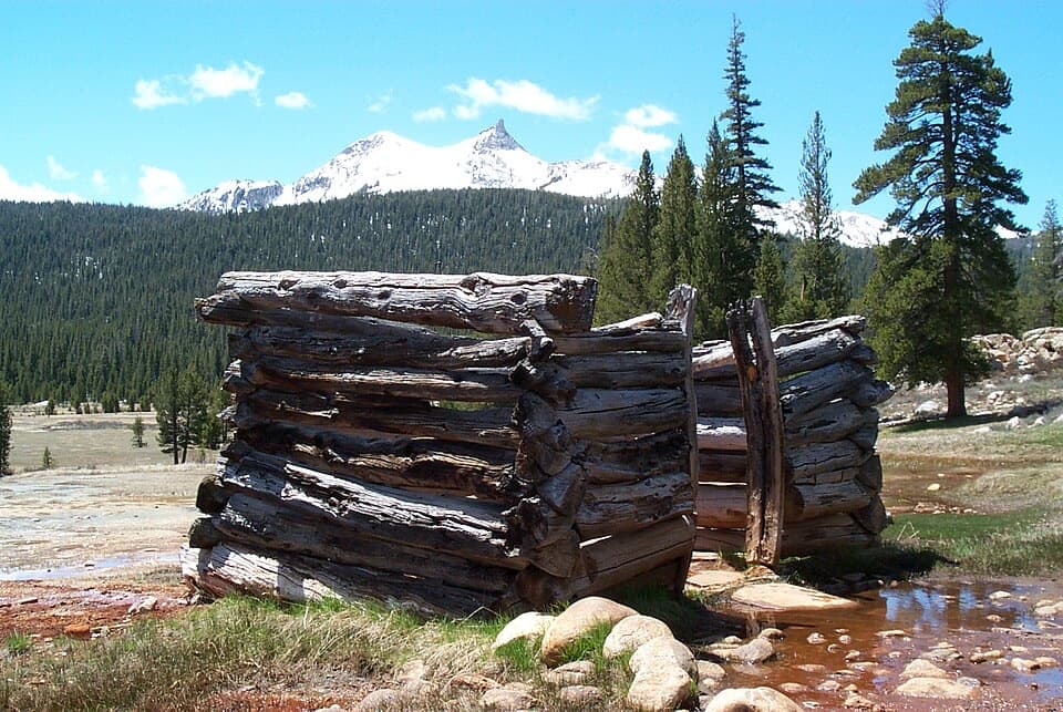 EasyParsons Lodge and Soda Springs Trail1.7 mi · 1 hr · 0.5 mi awayA flat meadow walk to bubbling springs and a Sierra Club lodge.
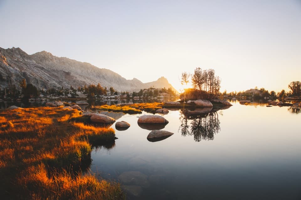 ChallengingYoung Lakes Trail13.6 mi · 9 hr · 0.5 mi awayA full-day walk through meadows and forest to high-country lakes.
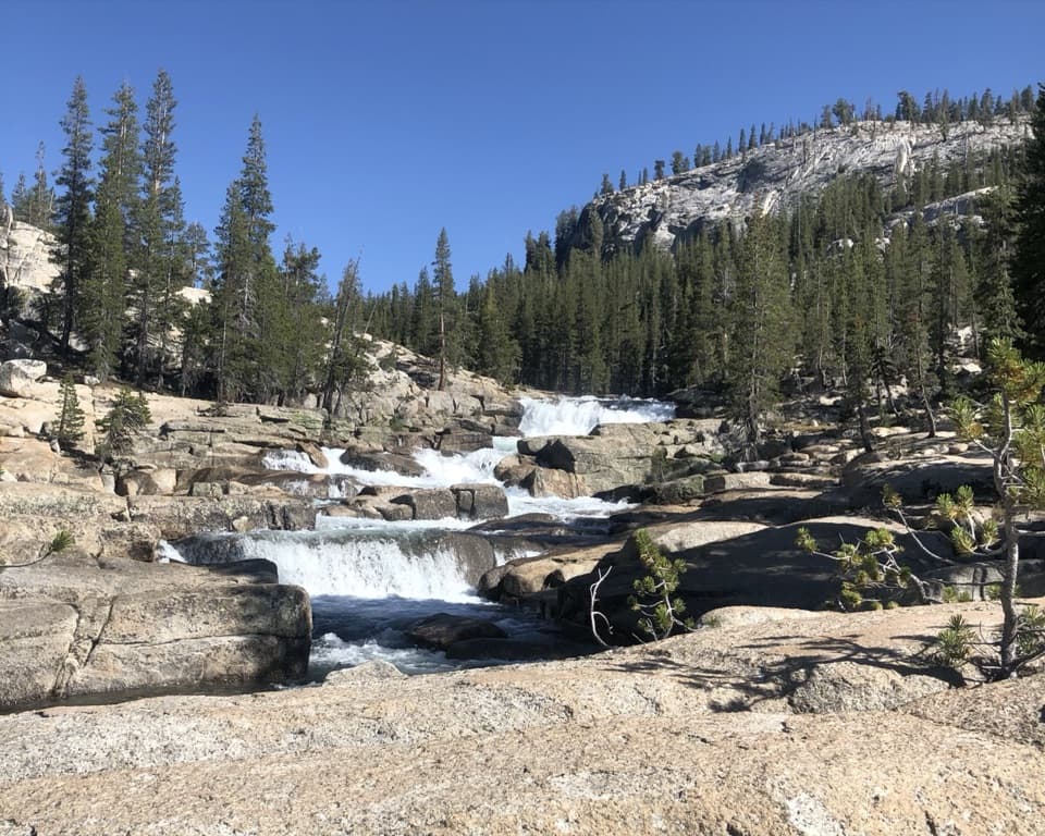 ChallengingGlen Aulin Trail11 mi · 8 hr · 0.6 mi awayAn 11-mile river walk to waterfalls at Glen Aulin.
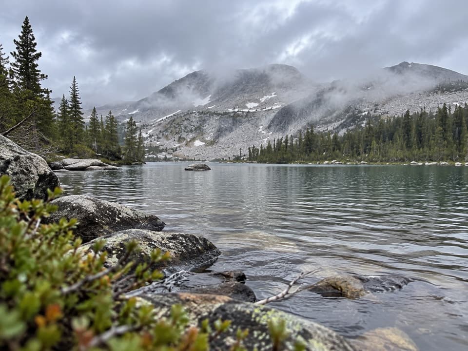 ChallengingMcCabe Lakes Trail29.6 mi · 18 hr · 0.9 mi awayA long Tuolumne Meadows out-and-back to McCabe’s alpine lake basin.
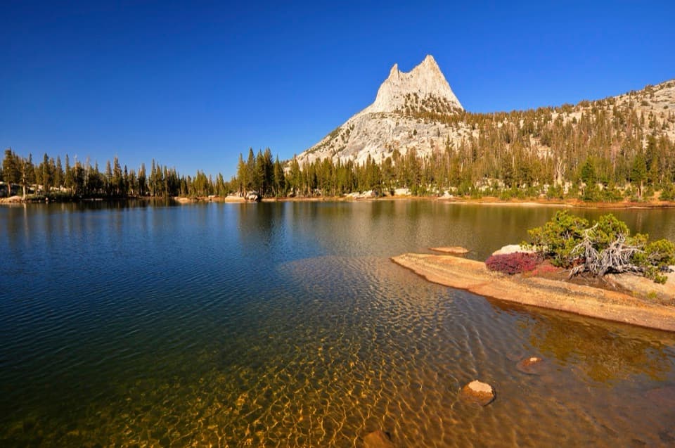 ModerateCathedral Lakes Trail9 mi · 7.5 hr · 1 mi awayTwo alpine lakes beneath Cathedral Peak reward a steady Sierra climb.
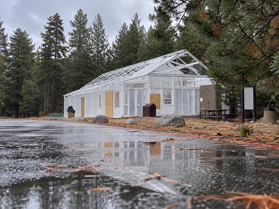 Food · 0.3 mi awayTuolumne Meadows Store and GrillLunch and trail basics before the high-country miles.
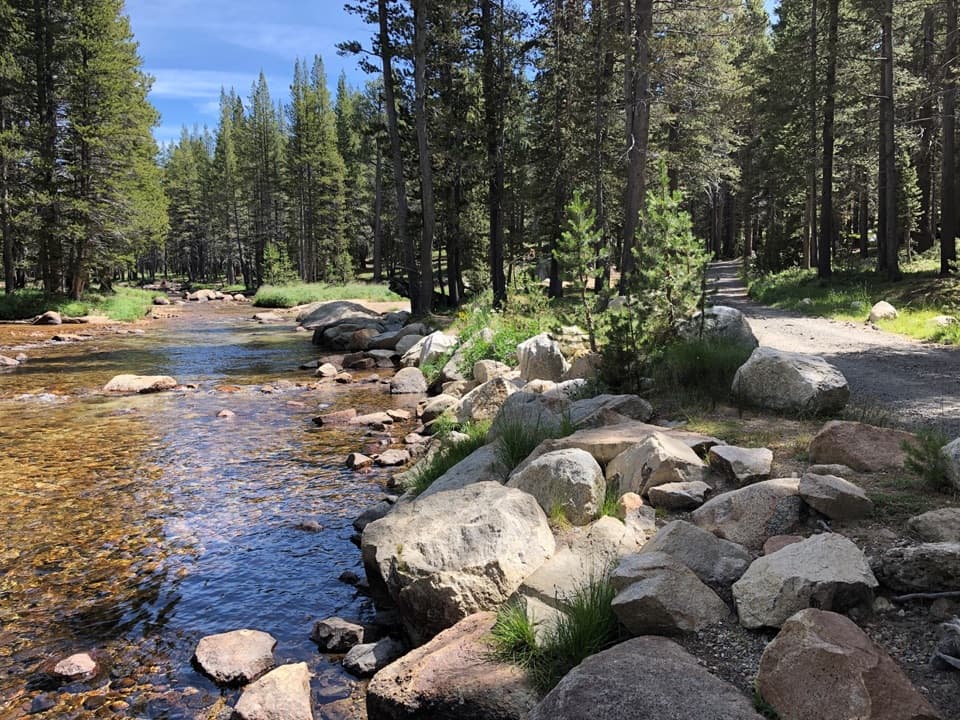 Campground · 0.3 mi awayTuolumne Meadows CampgroundA high-country base for Tuolumne's hikes, lakes, and river.
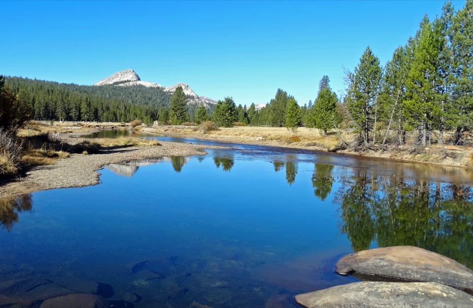 Sight · 0.4 mi awayTuolumne MeadowsA high-country meadow with river bends and granite domes.
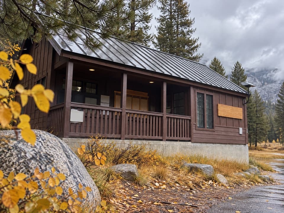 Ranger station · 0.7 mi awayTuolumne Meadows Wilderness CenterTalk over your route and get a backcountry permit.
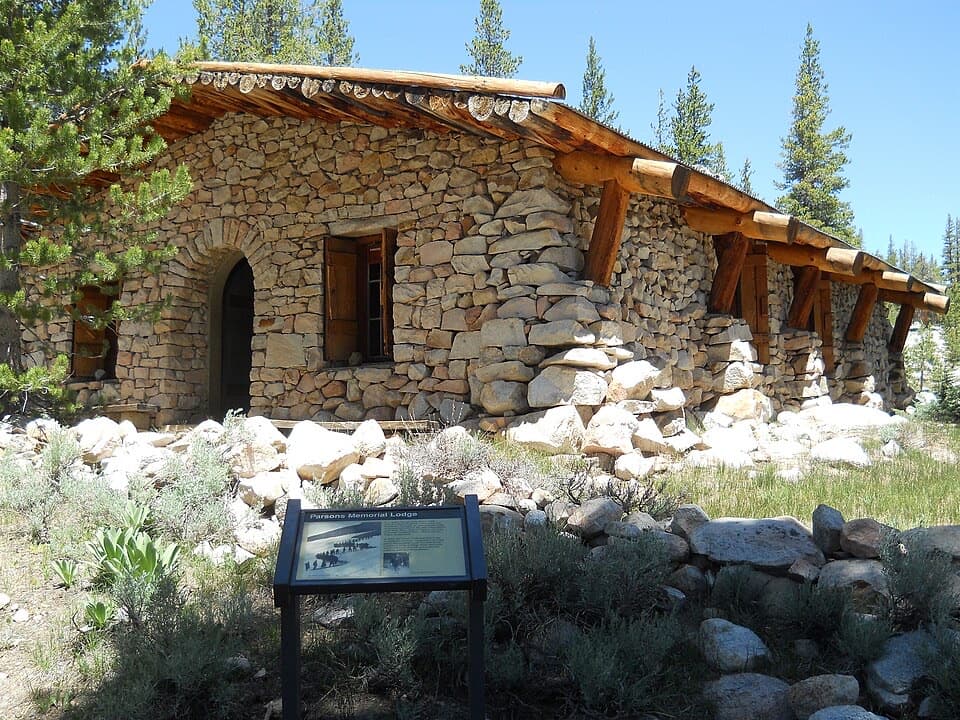 Sight · 0.8 mi awayParsons Memorial Lodge and Soda SpringsA short walk joins a 1915 lodge with bubbling meadow springs.
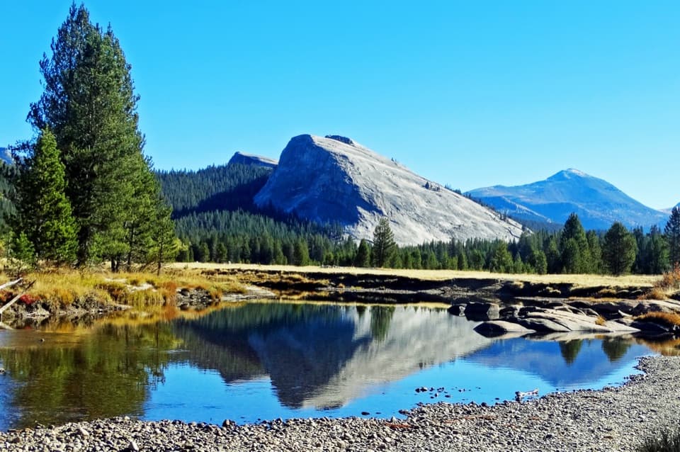 Sight · 0.9 mi awayLembert DomeA steep granite climb earns a wide-open Tuolumne panorama.
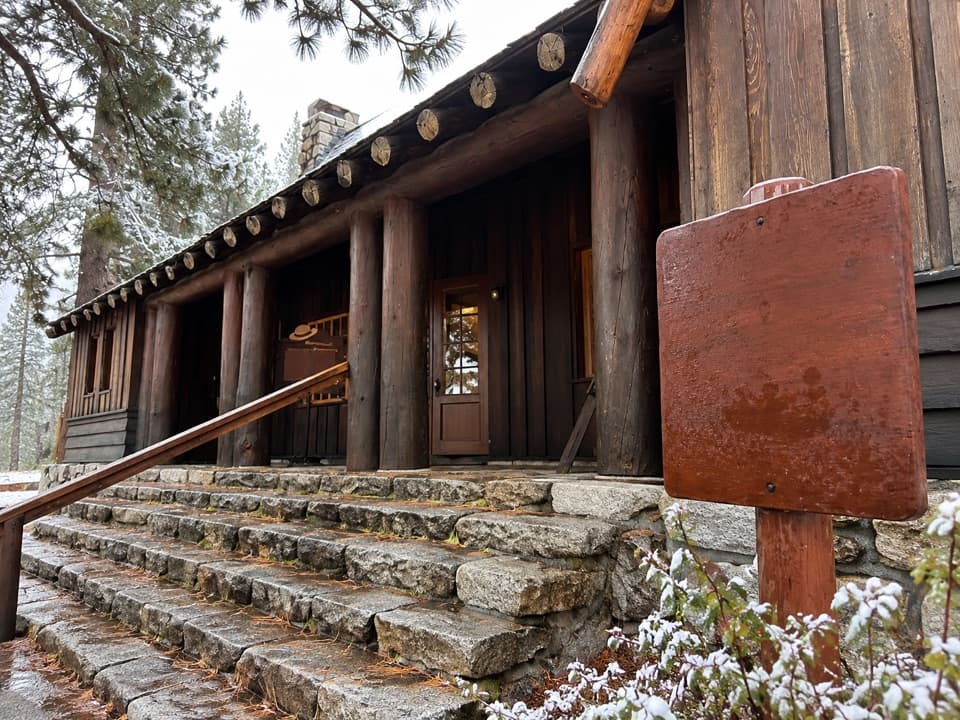 Visitor center · 1 mi awayTuolumne Meadows Visitor CenterA ranger desk, geology exhibits and a CCC story beside the meadow.
 Lodging · 1.3 mi awayTuolumne Meadows LodgeCanvas cabins beside the river, with trails on your doorstep.
Parkwolf’s Yosemite ranking

The audio tour guide for the drive, plus offline maps, trails, and wildlife heatmaps for when the signal drops.