Cathedral Lakes Trail in Yosemite National Park

#7 of 141 trails in Yosemite

Yosemite National Park, CA

Cathedral Lakes Trail

Two alpine lakes beneath Cathedral Peak reward a steady Sierra climb.

Photo: Wikimedia Commons
Length
9mi
Time
7.5hr
Elev. change
1,053ft
Difficulty
Moderate
  • No dogs
  • High point 9,613 ft

Hear the audio tour

Tuolumne Meadows

Overview

About Cathedral Lakes Trail

Why go

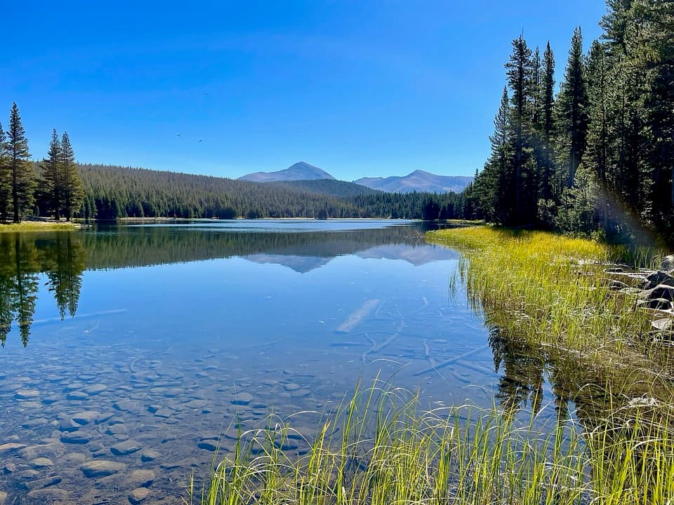
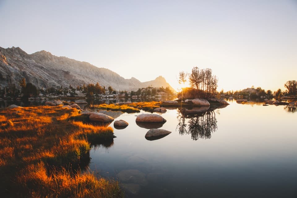
  • Two alpine lakes beneath Cathedral Peak, with a Tenaya Lake view from Lower Lake.
  • Granite shorelines and high-country scenery reward the steady climb.

Heads up

  • A long day at high elevation with a sustained climb.
  • Visiting Lower Lake adds 1.4 miles and wet, marshy stream crossings.

Map & elevation

The route

Loading the Yosemite map
Full map
Elevation8,560–9,613 ft
TrailheadTuolumne Meadows Visitor Center parking37.87263, -119.37471
Keep this map with you offline in the Parkwolf app

Plan your hike

Before you go

Parking

Start at Tuolumne Meadows Visitor Center parking; the current trail access begins at the lot. Vehicle access is seasonal because Tioga Road closes in winter, with dates that vary by conditions. Services in Tuolumne Meadows are limited, so bring the food and water needed for the hike.

Best time to go

Begin at the Tuolumne Meadows Visitor Center parking area, where the current trail access starts. Vehicle access is seasonal because Tioga Road closes in winter; opening and closing dates vary with conditions. Services in Tuolumne Meadows are limited, so carry the food and water you need for the full hike. Yosemite prohibits pets and bicycles on hiking trails.

Safety

The high-elevation climb is strenuous for some visitors. The Lower Lake branch crosses wet, marshy ground and small streams; lingering spring snow or wet tread can make junctions harder to follow. Pets and bicycles are prohibited on hiking trails.

4 active Yosemite alerts

  • ClosureDome Fire closes Glacier Point Road and trailsGlacier Point Road is temporarily closed because Dome Fire smoke reduces visibility and to allow firefighting operations; some trails south of the road are also closed.Official details
  • CautionMist Trail access limited during October repairsThe Mist Trail between its John Muir Trail junction above the Vernal Fall footbridge and the top of Vernal Fall has limited access through October for repair work.Official details
See all 4 alerts
The Parkwolf Tour Guide on a dash-mounted phone, driving into Yosemite Valley

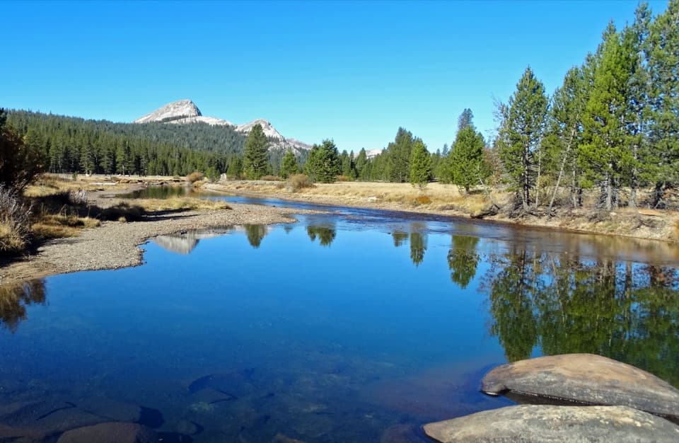
“You're coming up on Tuolumne Meadows, where the river winds through open grassland beneath granite domes. This is a place to get out and walk, rather than look for one perfect overlook.”

Yosemite Tour Guide

Yosemite, narrated.

Parkwolf is a GPS audio tour guide for Yosemite National Park. As you drive, it chimes in with what’s ahead: hidden gems, upcoming stops, history, geology, and wildlife, right through your car’s speakers.

See the Yosemite audio tour

Recorded for this trailhead

Tuolumne Meadows
0:00 / 0:34
“You're coming up on Tuolumne Meadows, where the river winds through open grassland beneath granite domes. This is a place to get out and walk, rather than look for one perfect overlook.”

Plays as you drive up to this trailhead in the Parkwolf Yosemite Tour Guide.

More stories near here in the app

  • Tuolumne Meadows Store and Grill
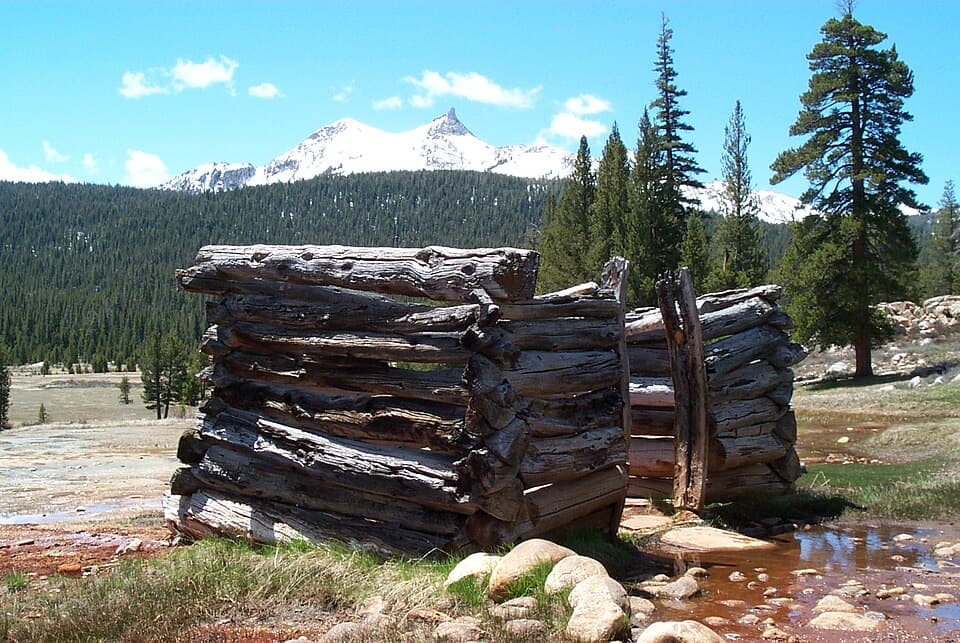
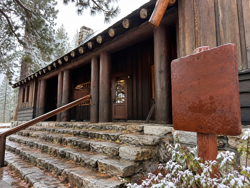
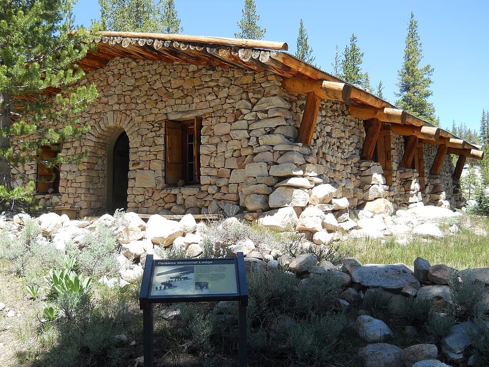
  • Soda Springs and Parsons Memorial Lodge
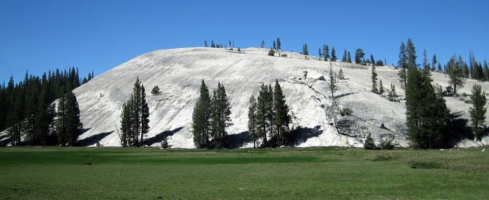
  • Pothole Dome
  • Lembert Dome
  • 125 audio storiesacross Yosemite’s roads, triggered by GPS as you drive
  • Wildlife heatmapsfor Black Bear, Peregrine Falcon, Mule Deer, and 13 more
  • Works offlinemaps, 141 trails, 99 places, and audio download before you lose signal
  • CarPlay readysimple controls built for the drive
★★★★★
“We just drove through Yosemite and it made our trip listening to this app as we drove through. Like having a tour guide in the car with you.”
Roddy 3210App Store review
Download Parkwolf on the App StoreGet Parkwolf on Google Play

4.7 from 8,600+ ratings

Trail guide

Hiking Cathedral Lakes Trail

The full two-lake hikeCathedral Lakes Trail is a high-country out-and-back from Tuolumne Meadows Visitor Center to…

Cathedral Lakes Trail is a high-country out-and-back from Tuolumne Meadows Visitor Center to Upper and Lower Cathedral Lakes. To visit both, plan about 9 miles round trip: the main route to Upper Lake is listed at 7.6 miles, and the 0.7-mile one-way Lower Lake spur adds about 1.4 miles for the detour and return. The climb to Upper Lake gains about 1,000 feet. Allow roughly 7–8 hours for both lakes, breaks and shoreline exploring; the 6–7-hour estimate is for the Upper Lake route. For a shorter day, skip Lower Lake and stay on the main route. The trail starts above 8,500 feet, so a steady climb can feel harder than its elevation gain alone suggests.

Follow the branchesFrom the Visitor Center parking area, follow the John Muir Trail as it climbs through conifers…

From the Visitor Center parking area, follow the John Muir Trail as it climbs through conifers toward open granite and meadow. Near the top of the climb, a spur drops to Lower Cathedral Lake. Visit it, then retrace that short branch to the junction and continue toward Upper Lake. The two-lake outing is not a loop. Watch the junctions, especially when lingering spring snow or wet ground makes the tread less distinct. Expect a natural, rocky path rather than a smooth walkway.

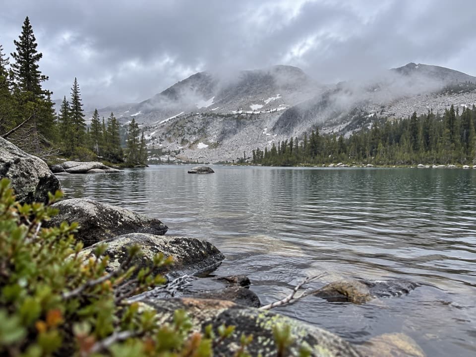
Lower Cathedral LakeLower Lake is the larger of the two.

Lower Lake is the larger of the two. Its eastern side has a broad granite shelf beside a wet meadow, where small streams cross the route and the ground can be marshy. If you have time, continue toward the lake’s western end for a view back toward Tenaya Lake. This branch is only 0.7 mile one way from the junction, but going out and back adds 1.4 miles to the day.

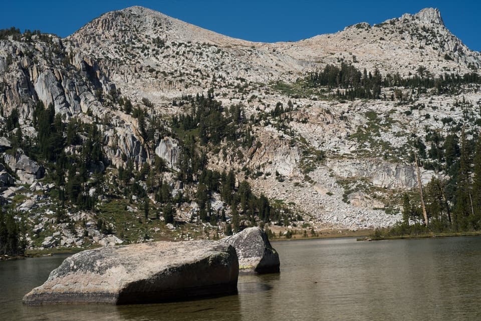
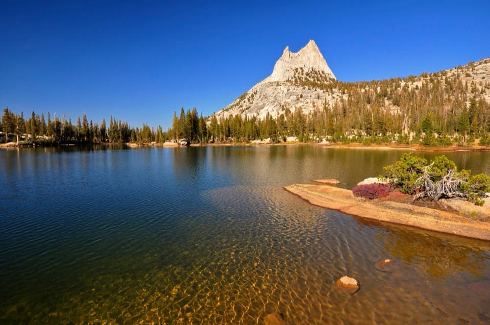
Upper Cathedral LakeThe main route continues toward Upper Lake beneath Cathedral Peak, with Echo Peak also in view.

The main route continues toward Upper Lake beneath Cathedral Peak, with Echo Peak also in view. The trail passes a little east of the water, so allow a few extra minutes to find a comfortable place at shore. The John Muir Trail is popular, while hikers spread out at the lakes; Upper can feel quieter than Lower, though crowding changes through the day.

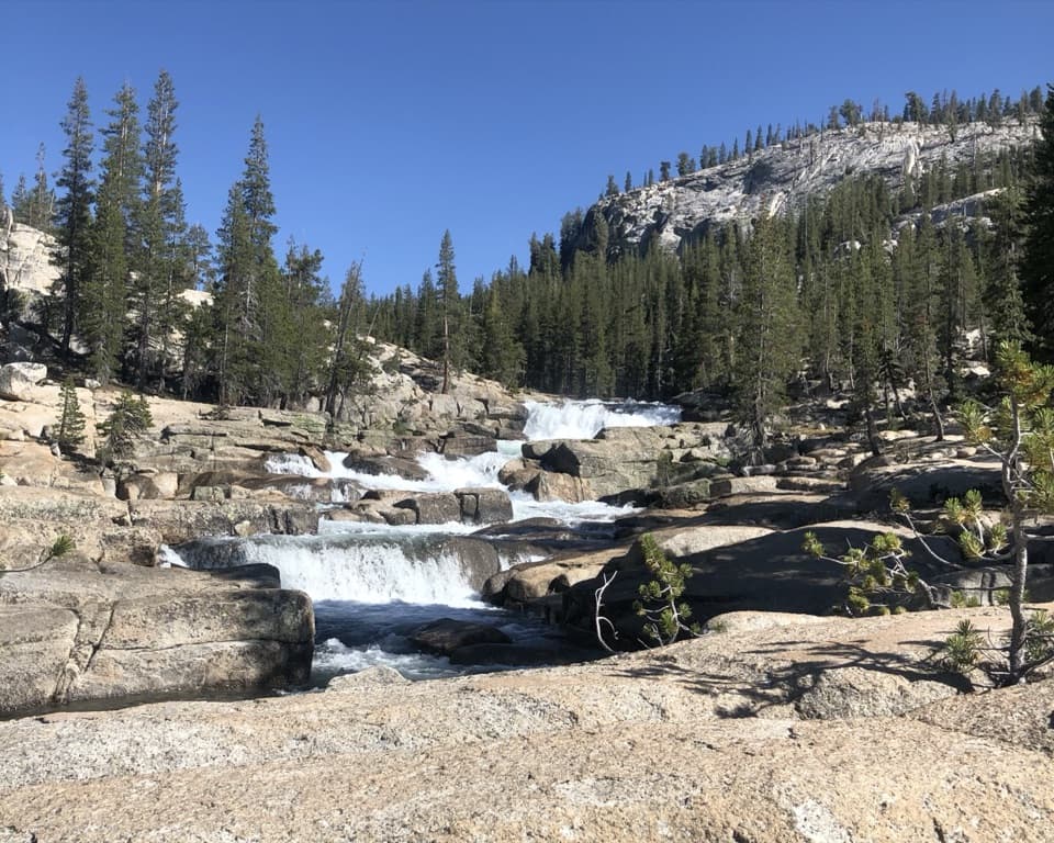
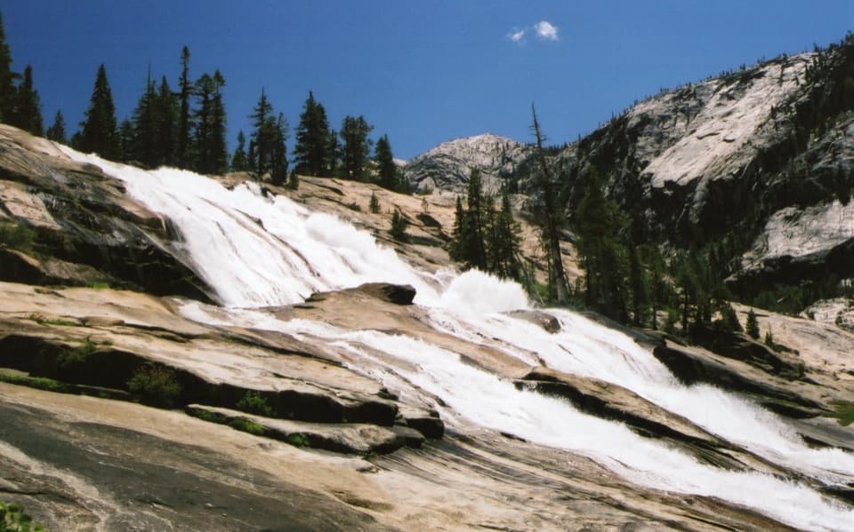
Granite and glacial sceneryThe pale slabs around both lakes belong to Yosemite’s vast granite landscape.

The pale slabs around both lakes belong to Yosemite’s vast granite landscape. Glaciers shaped the high country’s present landforms, leaving the lakes framed by broad rock and steep peaks. At Upper Lake, look back across the water toward Cathedral Peak for the defining view; at Lower Lake, the west end opens toward Tenaya Lake.

Wildlife

Wildlife in Yosemite

All Yosemite wildlife maps

Sighting maps show where each species has been reported across Yosemite. Wildlife moves, so no sighting is guaranteed.

Keep exploring

Near Cathedral Lakes Trail

See it all on the map

Trails that start nearby

Places near the trailhead

Parkwolf’s Yosemite ranking

Top-rated trails in Yosemite

All 141 trails
  1. 1Half Dome TrailChallenging · 14.3 mi
  2. 2Clouds Rest TrailChallenging · 14 mi
  3. 3Nevada Fall Loop via Mist and John Muir TrailsChallenging · 6.4 mi
  4. 4Yosemite Falls TrailChallenging · 7.2 mi
  5. 5Panorama TrailChallenging · 8.2 mi
  6. 6Four Mile TrailChallenging · 4.8 mi

Take Parkwolf to Yosemite.

The audio tour guide for the drive, plus offline maps, trails, and wildlife heatmaps for when the signal drops.

4.7 from 8,600+ ratings

Download Parkwolf on the App StoreGet Parkwolf on Google Play