
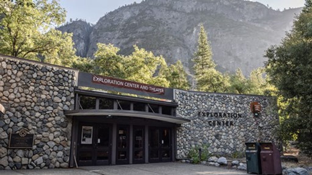
Place · 0.5 mi away
Challenging
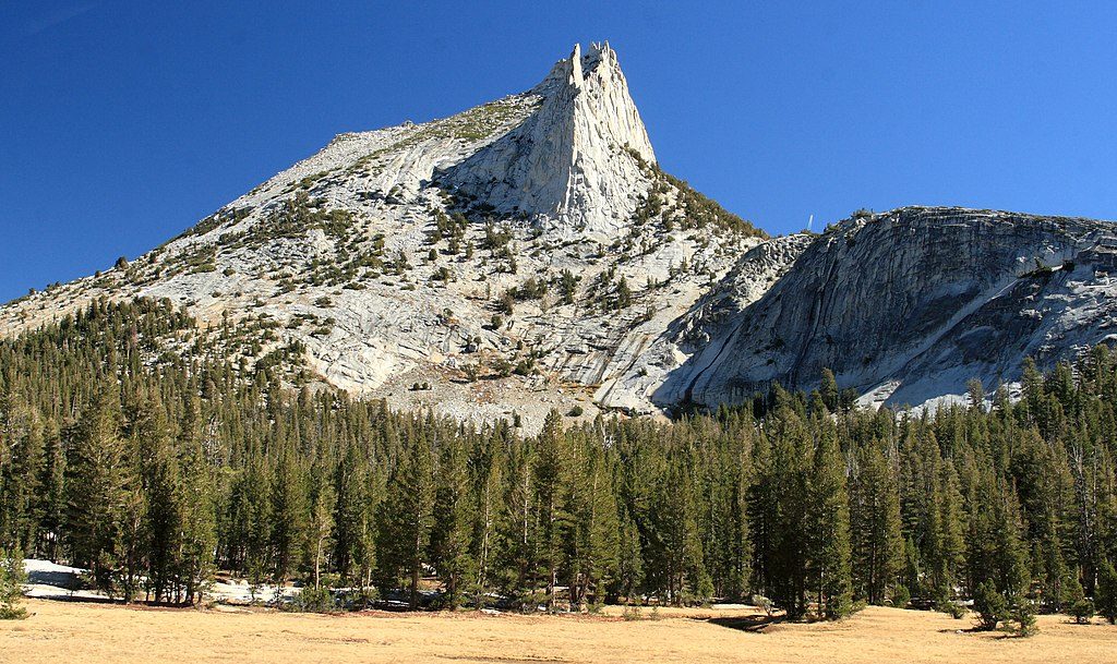
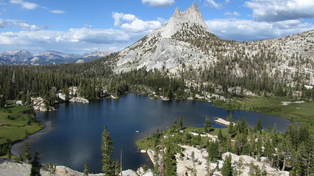
This is Tuolumne high country at its best: a sustained climb on the John Muir Trail to a wind-polished granite basin framed by Cathedral Peak. The standard out-and-back to Lower Cathedral Lake is about 8.2 miles total. Mileage reports vary (roughly 7–9.5 miles) because of small reroutes/parking changes and whether hikers also tag Upper Cathedral Lake. Expect thin air and a real workout—your reward is an alpine lake with broad granite slabs and classic Sierra views.
Start from the Cathedral Lakes trailhead on Tioga Road and follow the JMT. Most of the elevation gain comes in the first half of the hike, with some notably steep stretches. Near the top of the main climb, a signed spur drops roughly 0.5 mile down to Lower Cathedral Lake—remember you’ll climb back to the junction on the return. The main trail corridor travels mostly through forest, so the best scenery hits late: Lower Cathedral Lake’s eastern shore has a wide rock shelf that’s perfect for lunch and lounging, and from the far end you can snag a distant glimpse toward Tenaya Lake. The basin is ringed by granite and guarded by Cathedral Peak, with Echo and Tresidder Peaks rising nearby.
Plan on 4–6 hours for most hikers. The trailhead sits around 8,500 feet and Lower Cathedral Lake near 9,290 feet. Reported elevation gain ranges from about 1,000 to 1,660 feet depending on your exact start and whether you add Upper Cathedral Lake; either way, altitude makes the grade feel tougher. Early season can bring marshy sections; mid-summer often means persistent mosquitoes near wet meadows. Weather turns fast in the high country—hail or sleet can roll through even in July—so pack layers and a rain shell.
Go when Tioga Road is open (typically late spring through fall). Mornings are your friend: cooler temps, better odds at parking, and smoother lake reflections before the wind picks up. Midday sees the most people. Early summer brings the greenest meadows but also the worst bugs; later season often has fewer mosquitoes but cooler, windier lakeshores and a higher chance of cold snaps.
Parking is limited near the trailhead west of the Tuolumne Meadows Visitor Center; recent parking adjustments can add roughly a half-mile walk to reach the signed trail, so build in a little buffer. Consider using the shuttle when it’s operating. Day hikes require no permit; overnight trips need a wilderness permit and proper food storage (bear canister). Treat all natural water. Stick to signed junctions—the unofficial cut-throughs between lakes have been closed. Bring 2–3 liters of water, sun/bug protection, and trekking poles if steep, rocky descents bother your knees.
Yes—if you’re up for a sustained climb with limited views until the end. The forested approach can feel monotonous, but Lower Cathedral Lake itself is a stellar lunch-and-linger destination. If you have extra gas, add Upper Cathedral Lake from the main junction for a higher, often breezier counterpart.
Park at the Cathedral Lakes trailhead on Tioga Road, about 0.5 mile west of the Tuolumne Meadows Visitor Center. Spaces are limited; a relocated parking area can add roughly 0.5 mile of walking to reach the signed trail. Consider the seasonal shuttle when available. Overnight parking on Tioga Road typically ends mid-October.
High elevation and fast-changing weather—hail/sleet possible even in summer. The spur to Lower Cathedral Lake descends; you’ll need to climb back to the junction. Early season can be marshy; mosquitoes are common in wet areas. Use only signed junctions—unofficial cut-throughs between lakes are closed. Carry and treat water.
Place · 0.5 mi away
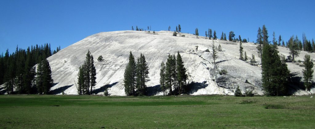
Place · 0.7 mi away
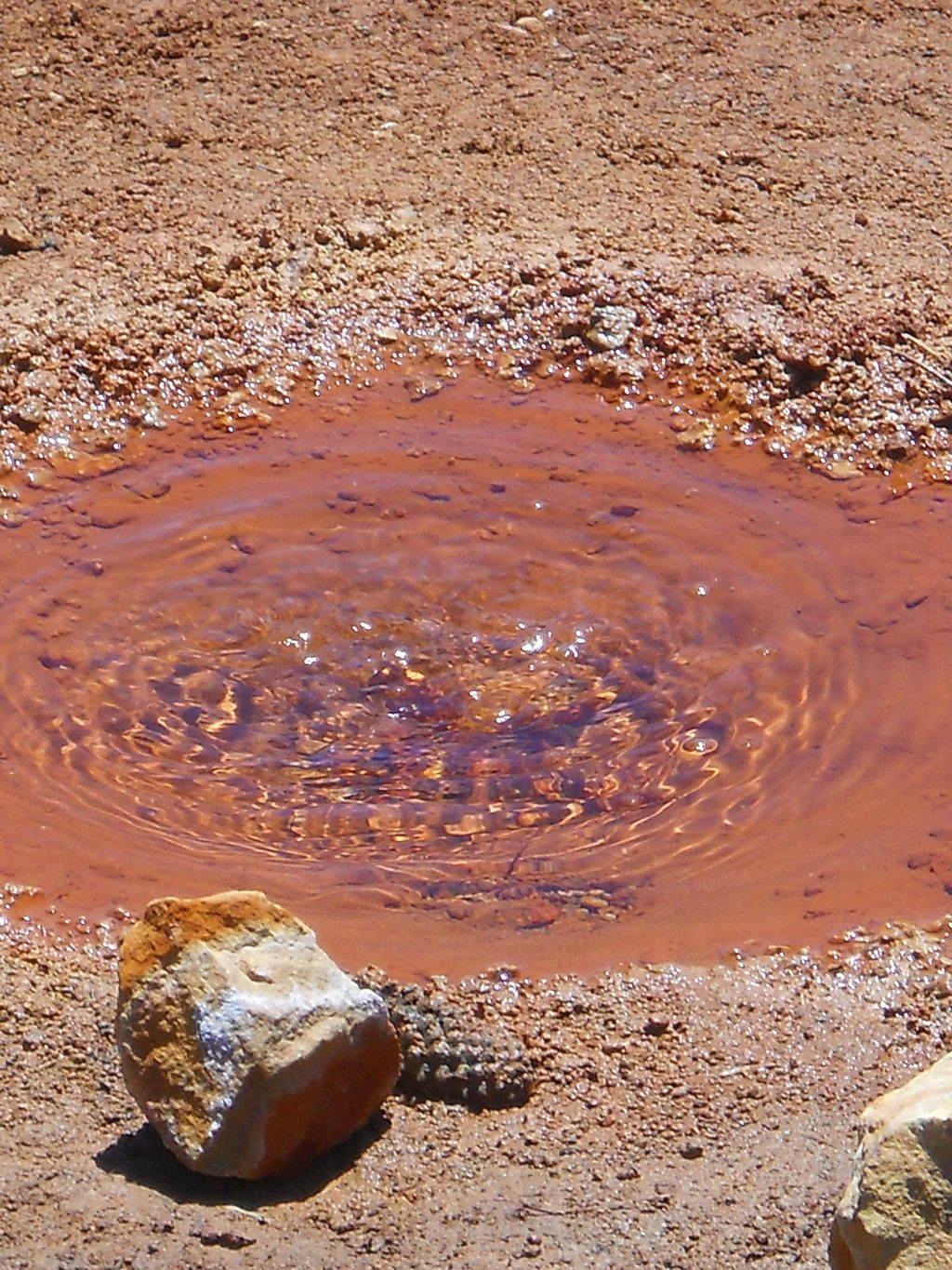
Place · 1 mi away
Place · 1.2 mi away
Moderate · 0 mi away
Challenging · 0 mi away
Moderate · 0.7 mi away
Moderate · 1.5 mi away

Parkwolf Tour Guide
