
Place
Challenging
Camp Creek is a remote, unmaintained route in the far northwestern Kolob corner of the park—more wild exploration than tidy trail. Expect solitude, brush, and problem‑solving. Most hikers either do a short out‑and‑back to the lower dryfall (~1.7 miles total) or commit to a full‑day push of about 9.0 miles round trip up the canyon toward the slickrock narrows. This is not a polished slot‑canyon showcase; it’s a rugged drainage with subtle geology and a “forgotten canyon” feel.
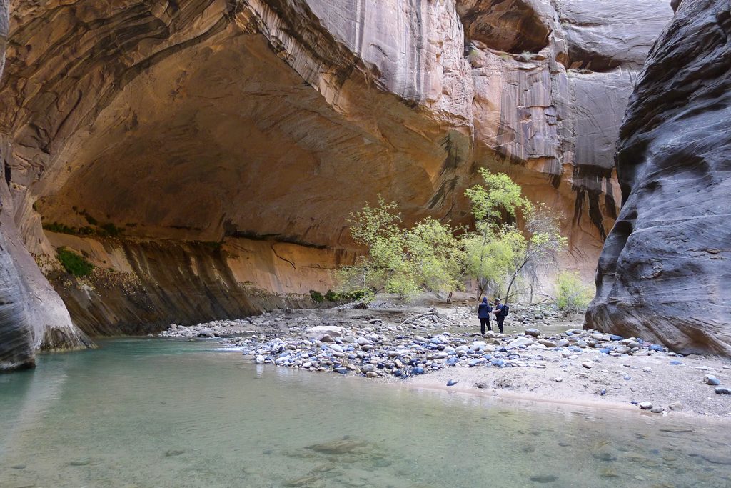
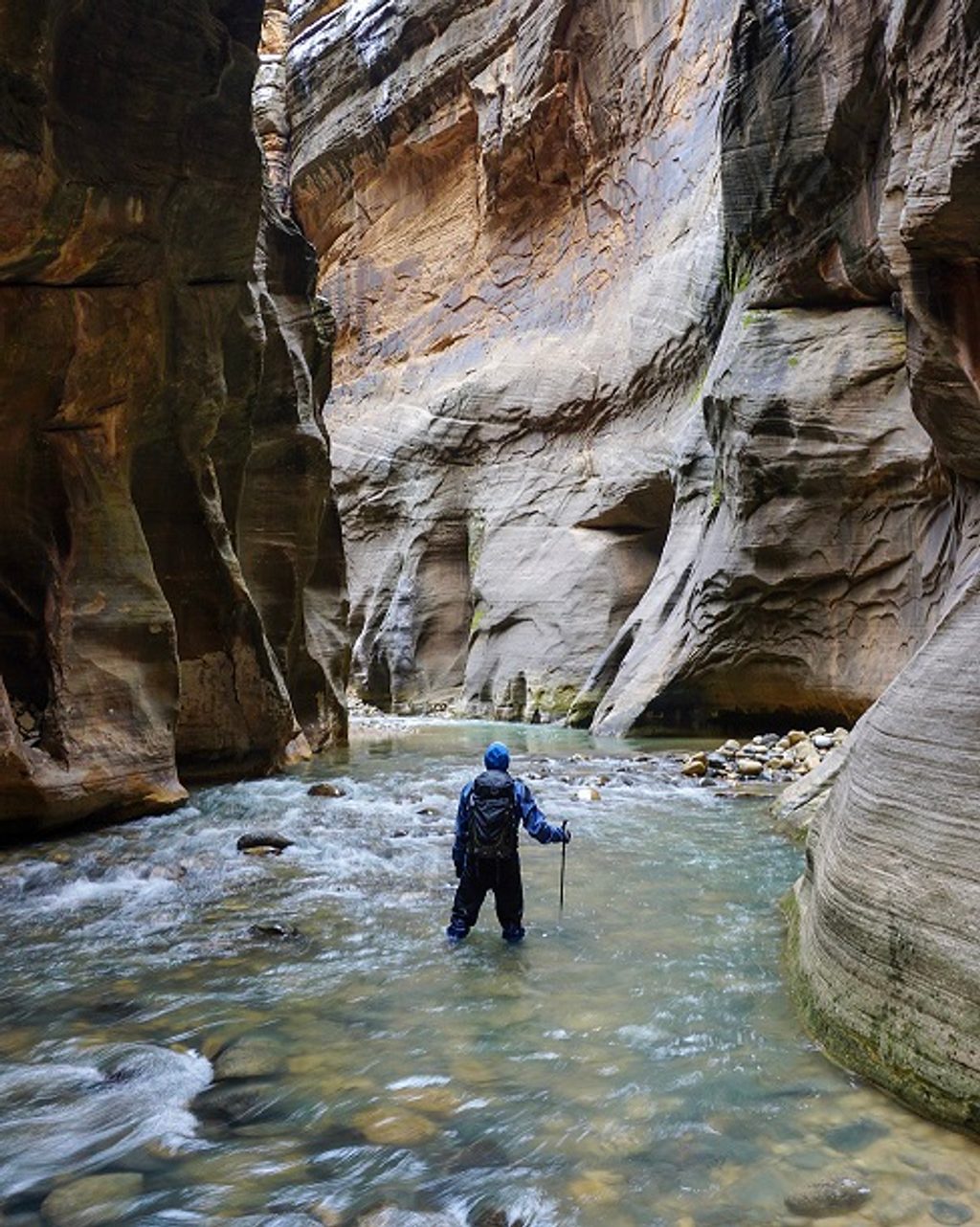
The start crosses a brushy valley with shallow creek crossings before entering the photogenic heart of the canyon at the “Two Portals,” twin stone pillars that frame the narrowing corridor. Past here, walls tighten and take on deep reds, the streambed often goes dry, and you’ll spot distinctive seep‑water solution holes peppering the rock. Higher up are slickrock narrows that sometimes hold standing, muddy water. Near the canyon mouth, an impassable dryfall blocks direct entry; a short stroll from the start lets you gaze up at it from below. Some hikers report a beautiful waterfall well up‑canyon, but it’s beyond the common short outing.
This is an unofficial, unmaintained route with heavy vegetation, faint paths, and frequent obstacles. Count on bushwhacking, multiple creek crossings (wet feet are common in spring or after rains), and steady scrambling over deadfall and boulders. Route finding is essential—offline maps or a GPS are strongly recommended. Difficulty escalates as you progress beyond the narrows.
Access is from the Kanarraville side, ending near a water tank; there’s ample informal parking below the tank. A short approach crosses private property where access has traditionally been allowed—be extra respectful. Enter through the park boundary gate and close it behind you. As you drop into Camp Creek, note landmarks for the return so you can relocate your exit.
Spring and fall offer the most pleasant conditions. The route can be overgrown during the growing season, and bugs are common in warm months. Water may flow in the lower creek and linger in pools up high; conditions vary year to year.
Wear long pants for the brush and shoes you don’t mind getting wet. Bring plenty of water and snacks, plus offline navigation. Practice Leave No Trace and skip fires—this drainage runs close to homes in places. If you want a more classic Zion experience with obvious paths and dramatic slots, this won’t scratch that itch; if you’re after solitude and subtle geology, it’s spot on. A nearby alternative with a similarly remote vibe is Spring Creek, just north of the Kolob section.
Informal parking near the end of the dirt road below the water tank; unsigned. Respect nearby private property.
Unmaintained and overgrown; expect bushwhacking, wet feet, and scrambling over boulders and deadfall. Route finding is mandatory—bring offline maps/GPS. Standing muddy water can linger in the narrows. Close the boundary gate and respect private property. The canyon mouth dryfall is impassable.
Place
Place
Place
Place
Challenging
Challenging
Challenging
Challenging

Parkwolf Tour Guide
