Observation Point in Zion National Park

#7 of 25 sights in Zion

Sight · Zion National Park

Observation Point

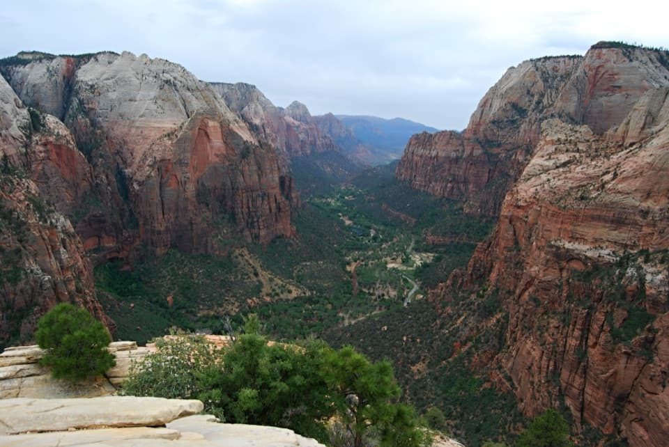
Angels Landing shrinks below a sweeping view down the canyon.

Photo: Wikimedia Commons
Type
Sight
Nearest trail
0.5 mi
Audio stories
4 nearby
  • Scenic viewpoint
  • Parking

Hear the audio tour

Big Bend

Overview

About Observation Point

Why stop

  • Several major landmarks line up across the canyon in one panorama.

Heads up

  • The long woodland walk saves its biggest view for the end.
  • East Mesa access roads can be impassable when wet.

Map

Where it is

Loading the Zion map
Full map
SightObservation Point37.27822, -112.94040
Keep this map with you offline in the Parkwolf app

Plan your stop

Before you go

3 active Zion alerts

  • CautionToxic cyanobacteria in Zion waterwaysDo not drink Zion in-stream water, submerge your head, or touch or ingest algae mats; cyanobacteria can produce harmful toxins.Official details
  • ClosureWatchman Trail closed for repairsWatchman Trail is closed pending repairs; do not enter the trail and choose another hike. Check current park conditions before setting out.Official details
See all 3 alerts
A park ranger sits on a dash-mounted phone, talking, as Parkwolf’s Tour Guide plays “Army Cutworm Moths: A Grizzly Bear Buffet” on Grand Loop Road below Dunraven Pass in Yellowstone
Parkwolf Tour GuideThe highest, rockiest slopes around here are a summer buffet for grizzly bears.

Zion Tour Guide

Your drive to Observation Point, narrated.

Parkwolf is a GPS audio tour guide for Zion National Park. As you drive, it chimes in with what’s ahead: hidden gems, upcoming stops, history, geology, and wildlife, right through your car’s speakers.

See the Zion audio tour

Recorded for this area

Big Bend
0:00 / 0:28
“Up ahead is Big Bend, where the Virgin River turns beneath the Great White Throne. I'd keep this stop for the view of that pale cliff between Angels Landing and The Organ.”

Plays on the road 0.5 mi from Observation Point in the Parkwolf Zion Tour Guide.

More stories near here in the app

  • Weeping Rock
  • Temple of Sinawava and Riverside Walk
  • The Grotto and Angels Landing
  • Zion Lodge and Emerald Pools
  • 45 audio storiesacross Zion’s roads, triggered by GPS as you drive
  • Wildlife heatmapsfor California Condor, Bighorn Sheep, Mountain Lion, and 13 more
  • Works offlinemaps, 54 trails, 36 places, and audio download before you lose signal
  • CarPlay readysimple controls built for the drive
★★★★★
“Fantastic app with many points of information… It’s great to just turn on while you’re driving and it gives you an audio tour of the national Park. We love it!!!!”
JMJamesApp Store review
Download Parkwolf on the App StoreGet Parkwolf on Google Play

4.7 from 8,600+ ratings

Guide

More about Observation Point

A high view down Zion CanyonObservation Point is a natural overlook on the east rim of Zion Canyon, about 6,500 feet above…

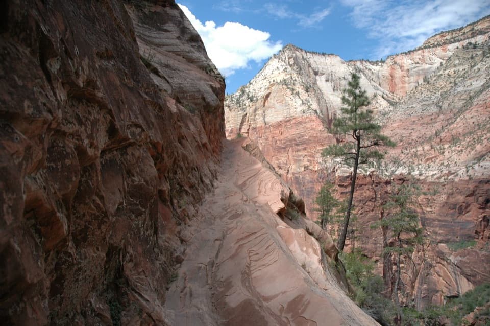
Observation Point is a natural overlook on the east rim of Zion Canyon, about 6,500 feet above sea level. From the rim, the canyon runs out below you, with Angels Landing far beneath and the Virgin River winding along the floor. The panorama is the payoff for a long walk; most of the approach is through trees, and the full canyon view opens near the end.

Take the East Mesa routeThe East Mesa hike is 6.

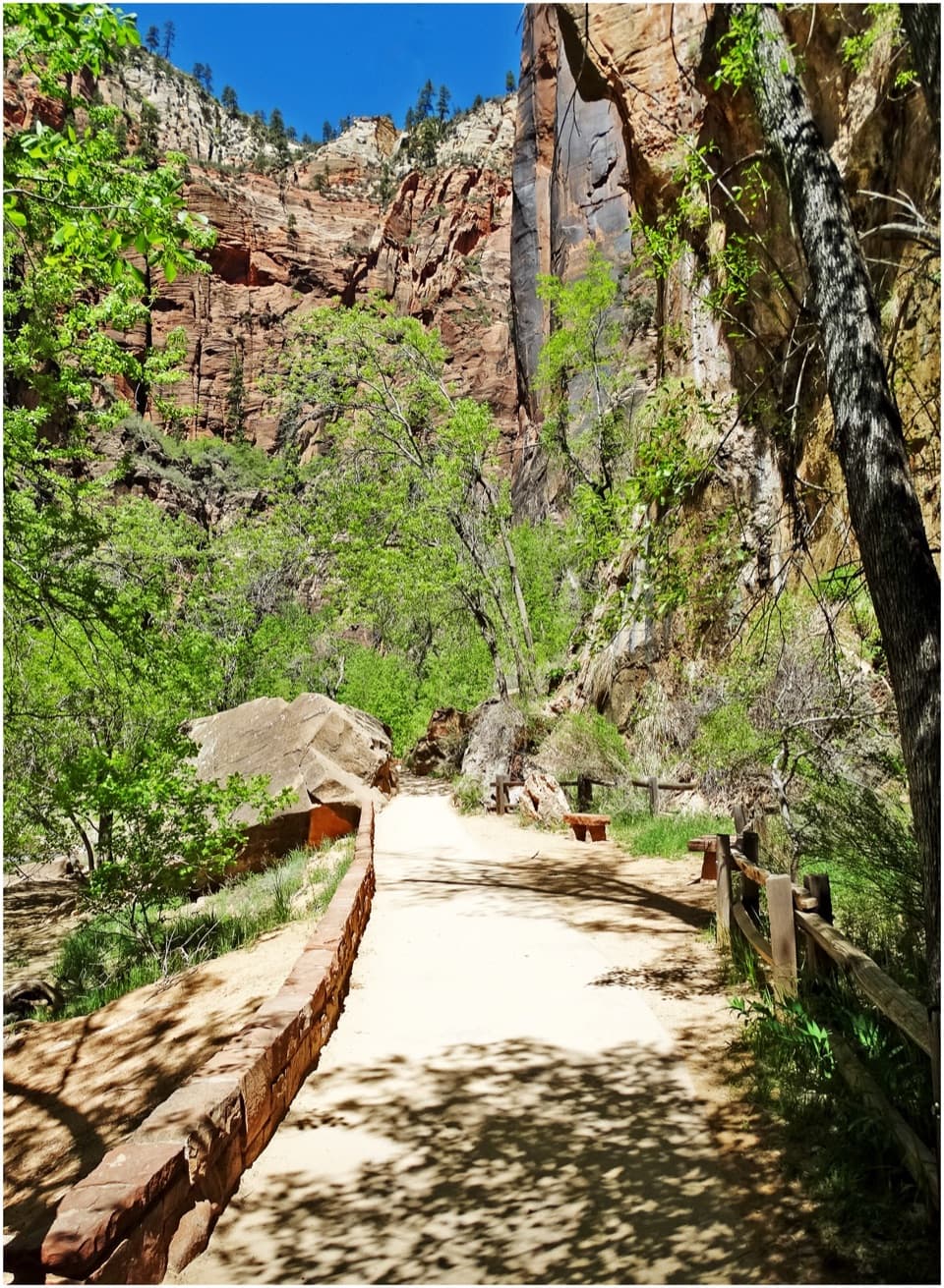
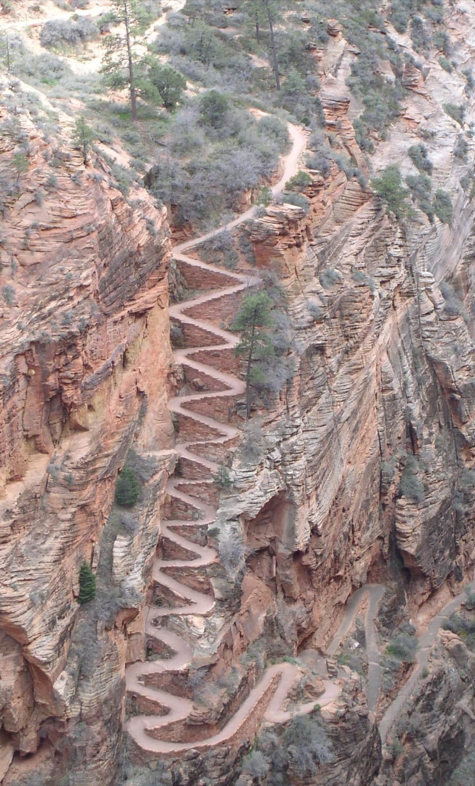
The East Mesa hike is 6.8 miles round trip, with about 300 feet of elevation change; the park estimates roughly three hours. It crosses ponderosa and pinyon-juniper woodland, offers brief canyon glimpses, joins the East Rim Trail, then follows it for the final 0.4 mile to the overlook. Expect a long, mostly gentle approach rather than an exposed climb the whole way.

Reaching the trailhead takes planning too: dirt roads from North Fork Road are described for high-clearance or four-wheel-drive vehicles and can become impassable after rain or in winter and spring. Park only in marked spaces and respect nearby private property.

What to look for from the rimAngels Landing sits below the overlook; beyond it, the view extends along the canyon past the…

Angels Landing sits below the overlook; beyond it, the view extends along the canyon past the Great White Throne and Cable Mountain, with both rims in the panorama.

For a photo, angle down toward Angels Landing and keep the canyon walls and river corridor in the frame. That layered view shows the height of the overlook better than a straight-on shot of a single cliff.

Windblown stone and a carved canyonThe pale and red walls are Navajo Sandstone, formed from windblown desert dunes about 185–180…

The pale and red walls are Navajo Sandstone, formed from windblown desert dunes about 185–180 million years ago. Its diagonal cross-bedding preserves the shapes and movement of ancient dunes. The wider canyon view tells a second story: after the land rose, the North Fork of the Virgin River cut thousands of feet into the rock and continues to work through the sandstone.

Plan before the trailheadThere are no water-filling stations at the East Rim wilderness trailheads, so fill up before…

There are no water-filling stations at the East Rim wilderness trailheads, so fill up before arriving. No restroom is listed at the East Mesa start or the overlook; use one before the hike. Pets are not allowed on Zion's wilderness trails.

Wildlife

Wildlife in Zion

All Zion wildlife maps

Sighting maps show where each species has been reported across Zion. Wildlife moves, so no sighting is guaranteed.

Keep exploring

Near Observation Point

See it all on the map

Trails nearby

More stops nearby

Parkwolf’s Zion ranking

Top sights in Zion

All 36 places
  1. 1Angels LandingSight
  2. 2Temple of SinawavaSight
  3. 3Canyon OverlookSight
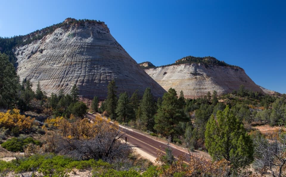
  4. 4Checkerboard MesaSight
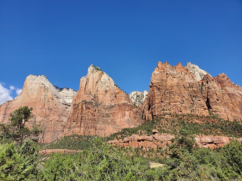
  5. 5Court of the PatriarchsSight
  6. 6Emerald PoolsSight

Take Parkwolf to Zion.

The audio tour guide for the drive, plus offline maps, trails, and wildlife heatmaps for when the signal drops.

4.7 from 8,600+ ratings

Download Parkwolf on the App StoreGet Parkwolf on Google Play