
Place · 2.7 mi away
Moderate
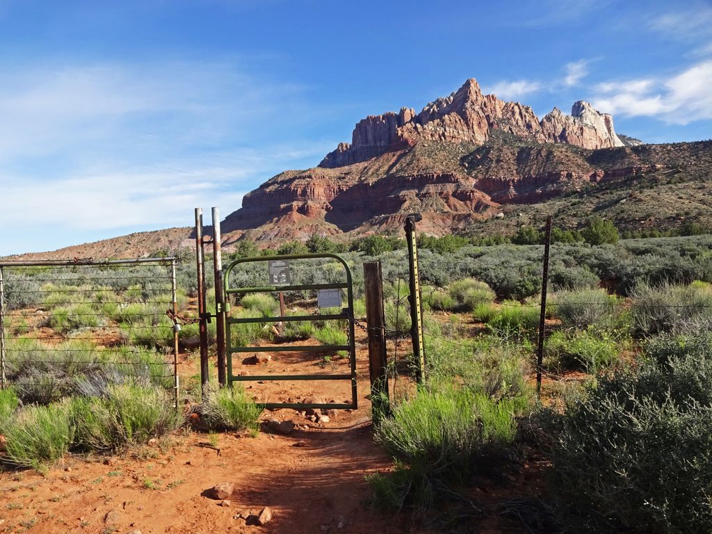
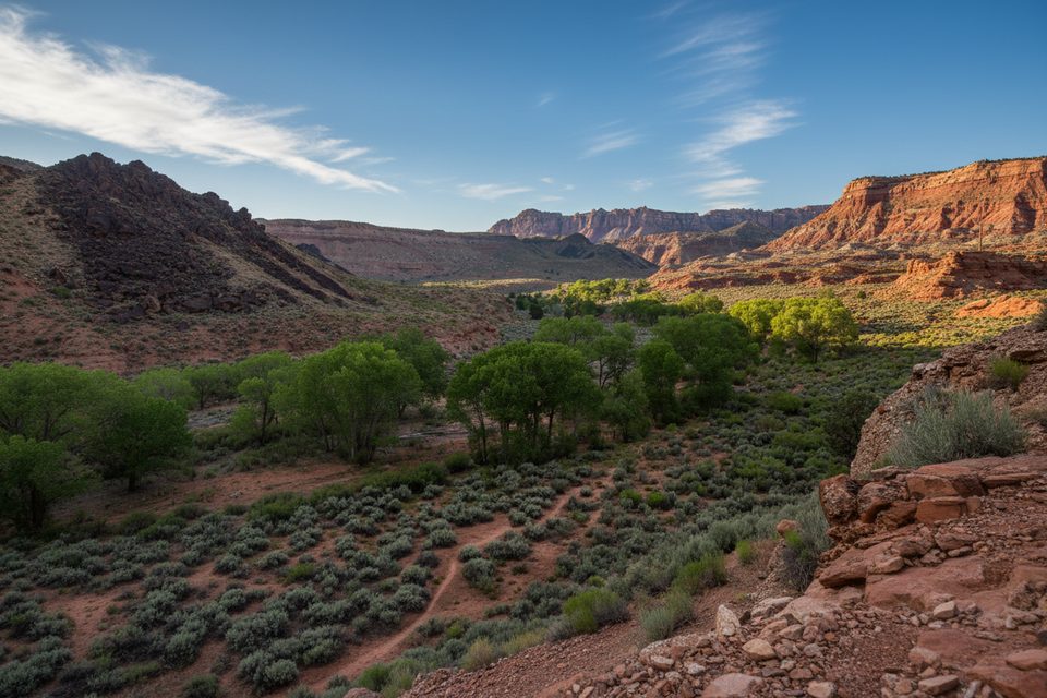
If you’re after solitude and wide‑open desert scenery instead of cliffside exposure, the Chinle Trail delivers. It wanders the south-side bench with constant views of Mount Kinesava, Eagle Crags, West Temple, and distant canyons. Expect rolling terrain, sandy tread, and full sun. Crowds are minimal compared to the park’s headline hikes.
Hike it as far as you like. The classic day is an out‑and‑back to the Coalpits Wash junction for roughly 16.6–17 miles total, with modest net elevation but plenty of undulating ups and downs that add cumulative gain. A shorter taste is the 6.8‑mile round trip to Huber Wash. With a car shuttle, you can traverse to the Coalpits Trailhead for about 15 miles one way. The first mile passes through a neighborhood before you hit parklands (~1.1 mi) and then designated Wilderness (~2 mi).
The trail crosses Huber, Scoggins, and Coalpits washes, with a fun, quick side detour in Scoggins to bouldery pools and small falls. Around mile 3–4, the ground starts glittering with petrified wood—look, photograph, don’t collect. Underfoot you’re walking the Chinle Formation: colorful mudstones, siltstones, and sandstones laid down by ancient rivers, with crumbly, bentonite-rich “popcorn” textures that create badlands scenery.
Fall and spring are prime: cooler temps, long light, and generally reliable footing. Wildflowers pop March–May. Winter can be gorgeous with snow-dusted cliffs and typically easier access than high country. Summer is brutally hot and exposed—start very early if you go then.
Trailhead parking is in the Anasazi Plateau neighborhood (Anasazi Way) in Rockville; there’s a small dirt lot and easy access, though the neighborhood start is a bit uninspiring. There’s no park shuttle here—use your own vehicle. No bathrooms at the trailhead or along the route. Day hiking needs no permit; overnight trips require a wilderness permit, designated campsites, and a max group size of 12. No dogs. Horseback use is allowed.
Carry all the water you need; do not rely on finding it. Water may appear seasonally in Coalpits Wash and nearby, but must be treated. Wash crossings can flash flood in storms—avoid stormy forecasts and be flood-aware. The tread is mostly straightforward, but faint sections and wash bottoms can cause momentary confusion; pay attention at junctions and crossings. After rain or snowmelt, bentonite mud can be sticky and slick. Sun protection is essential: hat, sunscreen, and extra electrolytes.
This is a long, mellow wander with big skies and subtle geology, not a dramatic summit or knife-edge thrill. It’s underrated for those who like space, silence, and Triassic color—but if you want instant wow, consider turning around around the petrified wood zone or visiting a shorter scenic classic elsewhere in the park on the same day.
Small dirt lot off Anasazi Way in the Anasazi Plateau neighborhood (Rockville). Free parking; first mile walks through the neighborhood before entering parklands (~1.1 mi).
Full sun and heat; carry ample water. Washes can flash flood during storms. After rain/snow, bentonite mud becomes sticky and slick. No bathrooms. Some faint sections at wash crossings—mind navigation.
Place · 2.7 mi away
Place · 3 mi away
Place · 3.2 mi away
Place · 3.2 mi away
Easy · 3.2 mi away
Moderate · 3.3 mi away
Easy · 3.3 mi away
Challenging · 3.5 mi away

Parkwolf Tour Guide
