Parking
Start at Watchman Trailhead near the Zion Canyon Visitor Center. Check current visitor-center parking or shuttle directions before arrival; trail-specific lot capacity and fees were not found.

#8 of 54 trails in Zion
Zion National Park, UT
A rocky canyon climb with a loop and views over Springdale.
Overview
Map & elevation
Plan your hike

The highest, rockiest slopes around here are a summer buffet for grizzly bears.
Zion Tour Guide
Parkwolf is a GPS audio tour guide for Zion National Park. As you drive, it chimes in with what’s ahead: hidden gems, upcoming stops, history, geology, and wildlife, right through your car’s speakers.
See the Zion audio tourRecorded for this trailhead
Zion Canyon Visitor Center“Zion Canyon Visitor Center is ahead, where you can get ranger advice, browse the outdoor exhibits and board the canyon shuttle.”
Plays as you drive up to this trailhead in the Parkwolf Zion Tour Guide.
More stories near here in the app
“Fantastic app with many points of information… It’s great to just turn on while you’re driving and it gives you an audio tour of the national Park. We love it!!!!”


Trail guide
Watchman Trail is a moderate 3.2-mile round trip from Watchman Trailhead near the Zion Canyon Visitor Center to a viewpoint over the lower canyon. Follow the approach about 1.4 miles one way, walk the 0.4-mile counterclockwise loop at the viewpoint, then return along the same approach. The Park Service estimates one to two hours; give yourself close to two if you want time for the view. This is a good south-end hike when you want a real climb and a broad look across Zion without giving up a full day. The approach gains about 479 feet before the loop, and the uphill comes after a relatively easy opening stretch.
The first part stays fairly level beside the river. Then the unpaved path climbs over sandy, rocky ground. The Park Service’s tread survey records mostly hard rock and firm soil, with small patches of pavement and soft soil. Expect steps, roots, and boulders as high as two feet. The tread averages about 77 inches wide but narrows to 12 inches at its tightest point. The steepest measured pitch reaches 39.4 percent, and several moderate drop-offs line the route. That mix can make the hike feel more serious than its mileage suggests. Take your time through the rougher sections and be comfortable walking close to a drop-off.
The route’s payoff is not a single endpoint alone: the 0.4-mile counterclockwise loop adds another angle and returns you to the approach. Some hikers turn around when the first open views arrive; if you want the full route, keep going around the loop. Visitors say the views improve during the climb and often recommend finishing the circuit, though a few prefer the views on the way up to the final viewpoint. The loop gains about 80 feet and loses about 65, so expect a small rise and dip rather than a flat lap. When it closes, head back down the way you came.
From the upper trail and viewpoint, look for the Watchman, the Temples and Towers, lower Zion Canyon, and Springdale. Red cliffs rise over scrub-covered slopes and the broad valley floor. The route gives you several chances to look out as you climb, so you don’t have to wait for the final loop to see the canyon. For a photograph, include the Watchman with some of the lower valley; the layered rock and town give the view scale.
A photographed outcrop along the trail is identified as Moenave Formation redbeds, and the NPS lists the Moenave among Zion’s rock layers. Up close, look for the red and tan bands and the ledges where softer layers have worn back. More broadly, Zion’s sedimentary layers were laid down about 110 to 270 million years ago. Later uplift gave streams more cutting power; the North Fork of the Virgin River has carved thousands of feet of rock away and continues to shape the canyon you see from the loop.
The trail’s start near the visitor center is low-desert habitat. Creosote, blackbrush, and saltbush grow here; birds common to this habitat include greater roadrunners, black-throated sparrows, and black-chinned sparrows. They’re possible sightings, not a guarantee, and desert birds are most active around dawn. If heat is a concern, choose a cooler start and carry water and sun protection; reports differ on how much shade you’ll get. The Park Service lists no reservation requirement and does not allow pets on this trail. Start at Watchman Trailhead and check current visitor-center parking or shuttle directions before you go.
Wildlife
 291 sightingsCalifornia CondorMost seen around 11 AMSighting map
 350 sightingsBighorn SheepMost seen around 7 AMSighting map
 22 sightingsMountain LionMost seen around 7 PMSighting map
 1,326 sightingsMule DeerMost seen around 6 AMSighting map
 23 sightingsGolden EagleMost seen around 10 AMSighting map
 15 sightingsPeregrine FalconMost seen around 7 AMSighting map
Sighting maps show where each species has been reported across Zion. Wildlife moves, so no sighting is guaranteed.
Keep exploring
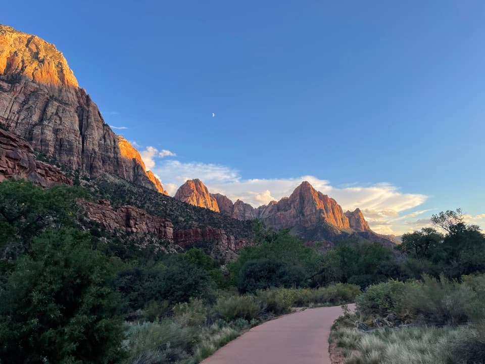 EasyPa'rus Trail1.6 mi · 1 hr · At the trailheadA paved riverside walk with Watchman views and shared bike traffic.
 EasyArcheology Trail0.3 mi · 30 min · 0.1 mi awayA short, exposed climb to an ancient storage site and canyon views.
 EasyVirgin River Nature Trail0.1 mi · 9 min · 0.1 mi awayA few level steps put you beside the Virgin River.
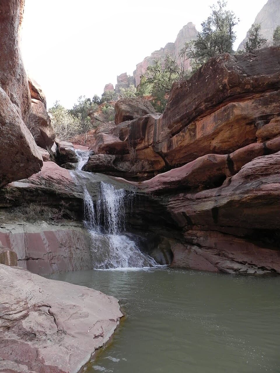 ModerateLower Pine Creek Falls Trail0.7 mi · 45 min · 1.5 mi awayA short creek walk gives way to boulder hopping and shallow wading.
 ModerateGifford Canyon Hike3.6 mi · 3 hr · 2.5 mi awayA sandy canyon wash with two rough dryfall scrambles.
 ModerateCanyon Overlook Trail1 mi · 1 hr · 2.7 mi awayA short, rocky climb to a big view over Pine Creek Canyon.
 ModerateSand Bench Trail3.9 mi · 3 hr · 2.9 mi awayLoose sand turns this canyon loop into a bigger effort.
 EasyCourt of the Patriarchs Viewpoint Trail0.1 mi · 8 min · 2.9 mi awayThree sandstone peaks from a short, steep viewpoint climb.
 Visitor center · 0.1 mi awayZion Canyon Visitor CenterGet ranger help and board the canyon shuttle at Stop 1.
 Entrance station · 0.1 mi awaySouth EntranceA working gateway beside the park’s old sandstone-and-log welcome sign.
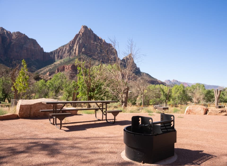 Campground · 0.2 mi awaySouth CampgroundWalk the Pa’rus Trail from camp to the visitor center and shuttle.
 Campground · 0.4 mi awayWatchman CampgroundCamp beside Zion’s canyon shuttle, a short walk from the visitor center.
 Visitor center · 0.4 mi awayZion Nature CenterHands-on Zion exhibits and ranger programs in a seasonal indoor center.
 Sight · 0.4 mi awayWatchman OverlookThe Watchman fills the view at the end of a rocky climb.
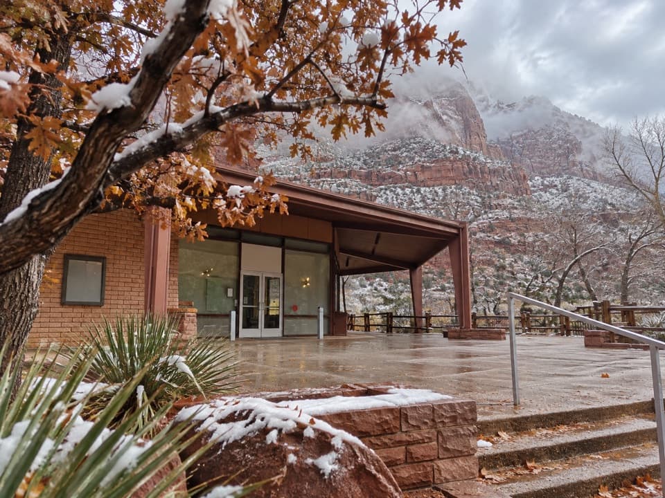 Sight · 0.7 mi awayZion Human History MuseumA short museum stop for Zion’s human story and canyon views.
 Sight · 1.6 mi awayLower Pine Creek FallsA small waterfall worth the scramble if rough creek walking suits you.
Parkwolf’s Zion ranking

The audio tour guide for the drive, plus offline maps, trails, and wildlife heatmaps for when the signal drops.


