
Place · 2.6 mi away
Easy
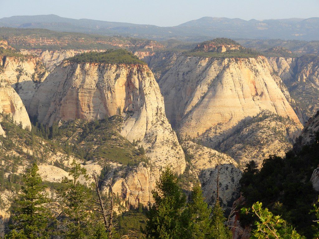
If you want Zion’s big, birds‑eye payoff without the grind, this is it. The East Mesa Trail is the mellow, out‑and‑back way to Observation Point—one of the park’s most commanding vistas over Zion Canyon. It’s about 7.0 miles total, with mostly gentle grades through high‑mesa forest (pines and firs) and far fewer crowds than the main canyon. The approach is unflashy, but the finale is world‑class.
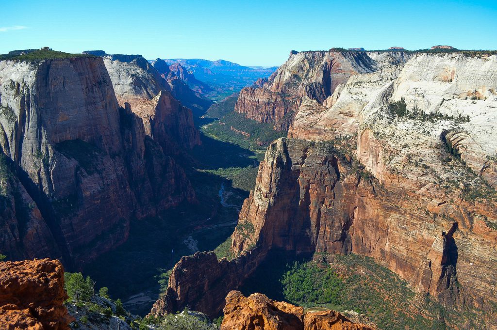
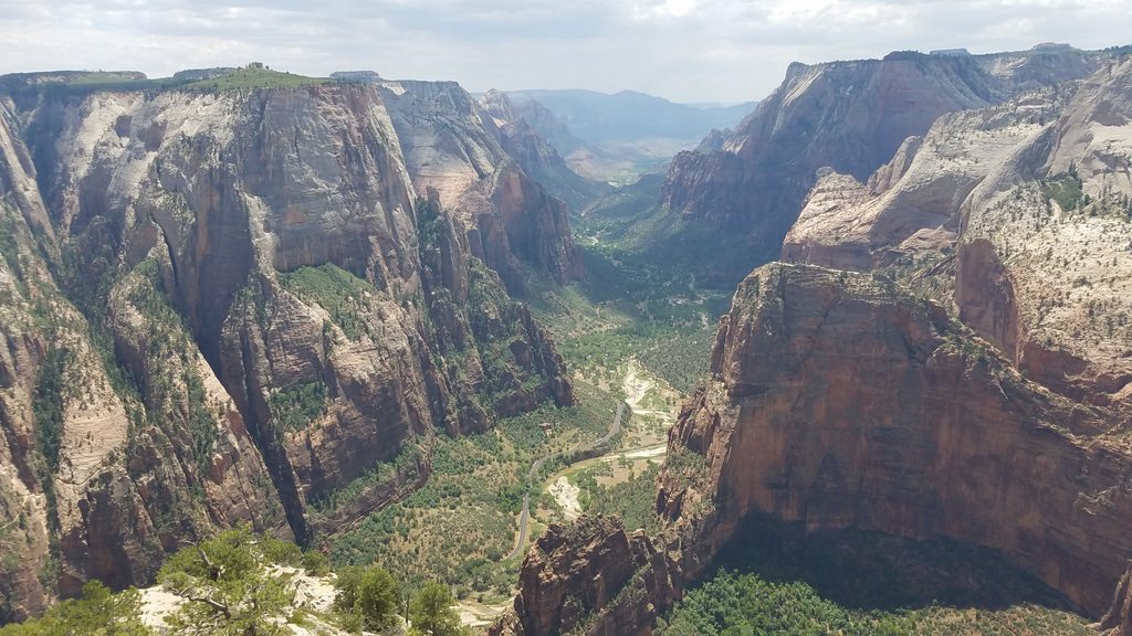
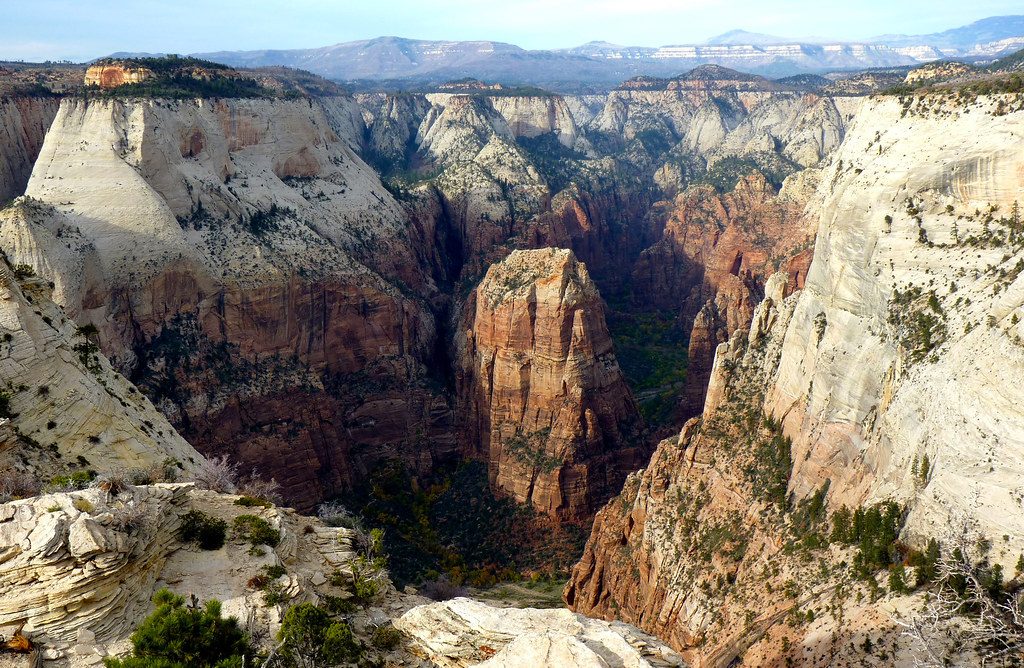
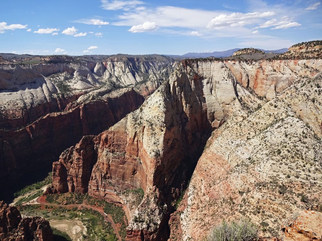
From the trailhead gate you immediately enter park land and cruise easy singletrack for the first couple of miles under scattered conifers. Around 2.5 miles the trail begins trending gradually downhill toward the rim, which means you’ll climb that section on the way back. Near 3.1 miles, turn right at the signed spur for the final short approach to Observation Point. Along the way, peek into Echo Canyon and Mystery Canyon; at the point, take in sweeping views down to the Virgin River and across to Angels Landing. Plan roughly 2.5–4 hours depending on pace and photo stops.
The trailhead sits on the park’s east side, roughly an hour’s drive from the main Visitor Center. The final stretch is a dirt road: typically passable when dry, but it can turn rutted and muddy after rain or snow—high‑clearance/4×4 is advisable in wet conditions. Parking is very limited (about 15 signed spots) and is bordered by private land with strict no‑parking enforcement. Arrive early, or use the nearby Zion Ponderosa Ranch Resort shuttle to/from the trailhead when the lot is full.
Open year‑round, but access varies. In winter the road is not plowed; after storms you may need to add up to 2.8 miles each way on foot to reach the trail. Summer brings heat and minimal shade on the mesa—late afternoon or evening is the sweet spot for cooler temps and golden light. Observation Point is a stellar sunset perch; pack a headlamp if there’s any chance you’ll be walking out at dusk.
There’s no water at the trailhead—carry plenty, plus sun protection and snacks. The trail itself is largely non‑exposed, but the viewpoint is on the rim with abrupt drop‑offs; keep kids and cameras well back from the edge. Pets are not allowed on this trail (service animals excepted). Watch for trail junctions to technical canyoneering routes (e.g., Mystery Canyon) and do not venture beyond hiking routes unless you’re permitted and properly equipped.
Expect chipmunks working the lunch crowd at the viewpoint. On the way, the high‑mesa setting mixes sandy stretches, pine/fir stands, and intermittent windows into Echo and Mystery canyons—the calm approach contrasts nicely with the dramatic finale.
The walk is simple; the view is not. If you’re okay with a dusty approach and limited parking, this is a high‑reward, low‑stress path to one of the park’s premier vistas.
Tiny signed lot (~15 spots) at the end of a dirt road; no overflow or roadside parking on adjacent private land. Arrive early or use the Zion Ponderosa shuttle when the lot is full.
Dirt access road becomes muddy and rutted after rain/snow; high‑clearance/4x4 may be required. In winter the road is not plowed and you may need to walk extra miles to reach the trailhead. Minimal shade—heat and dehydration are common; bring ample water. Sheer drop‑offs at the rim; keep a safe distance. Pets are not allowed.
Place · 2.6 mi away
Place · 2.7 mi away
Place · 2.7 mi away
Place · 2.7 mi away
Easy · 0 mi away
Moderate · 0 mi away
Moderate · 2 mi away
Easy · 2.7 mi away

Parkwolf Tour Guide
