
Place · 2.6 mi away
Moderate
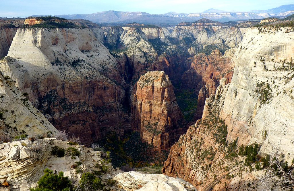
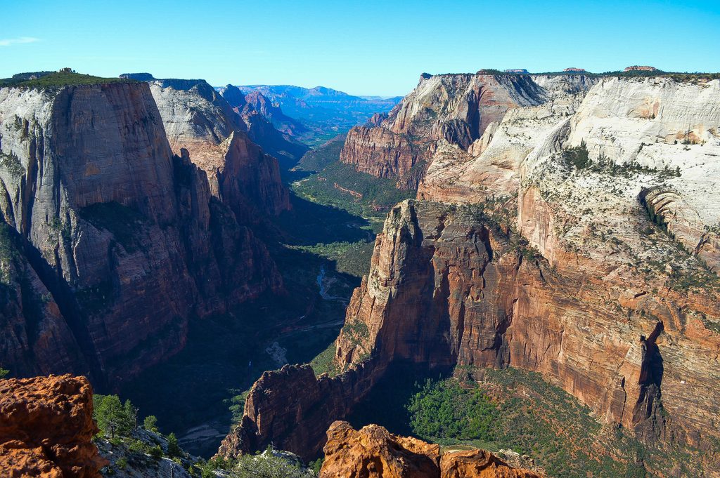
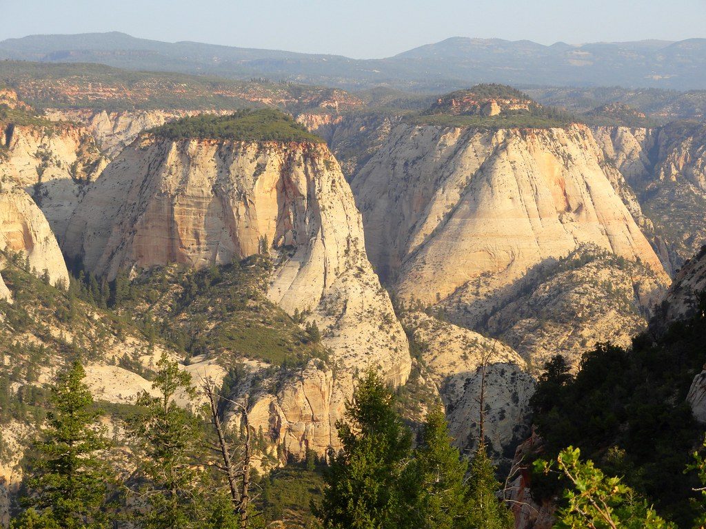
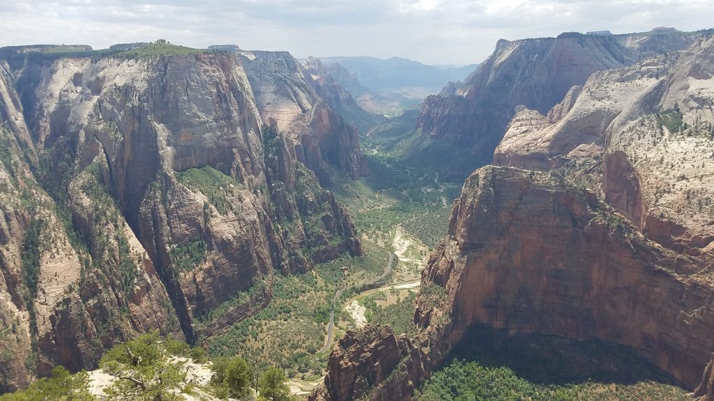
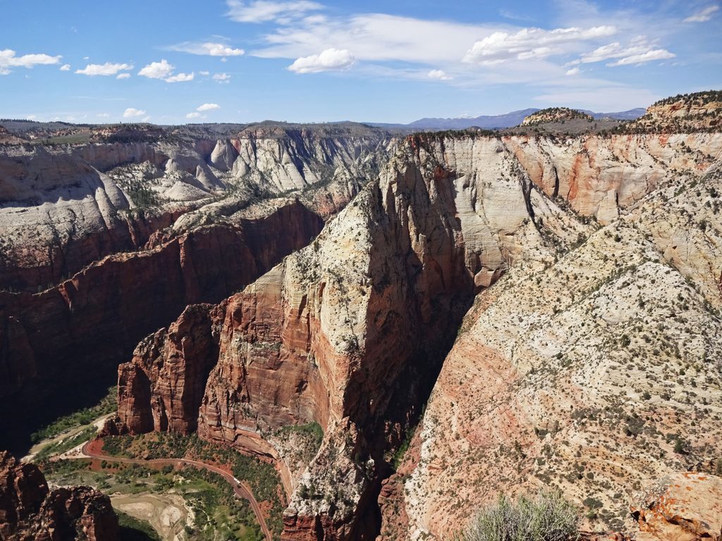
Deertrap Mountain is the quiet, view-rich corner of Zion that most visitors never see. The payoff is a sprawling rim “sky island” you can wander for multiple angles over Zion Canyon—Angels Landing, the White Cliffs, Zion Lodge, even the canyon’s mouth all unfold below. It’s not a cliff-rail thrill ride; it’s a long, rolling walk to outrageous vistas with real solitude.
The most practical route right now starts from Stave Spring near the Zion Ponderosa area and runs about 9.8 miles round-trip, out-and-back. Expect mostly gentle grades with plenty of small ups and downs that add to the cumulative effort. Plan 4–6 hours for most hikers; 5 hours is a solid average if you pause for viewpoints along the rim. There are longer alternatives: roughly 19.5 miles round-trip from the East Entrance on the East Rim Trail. The old approach from Weeping Rock is closed due to rockfall.
From Stave Spring, you’ll briefly join the East Rim Trail to a signed junction, then the Deertrap path cruises rolling, sandy singletrack across a forested plateau of pines and Gambel oak. In summer, sections can be overgrown with wildflowers. The final miles reach Deertrap’s broad rim platform—don’t stop at the first vista. Stroll the edge for multiple overlooks and shifting perspectives on Angels Landing, Sentinel Slide, and the heart of Zion Canyon.
Reaching Stave Spring usually requires high-clearance/4WD on rough dirt roads, which can be impassable when wet or snowy. Parking is very limited and improperly parked cars can be cited or towed. A seasonal shuttle from the Zion Ponderosa area sometimes runs to Stave Spring and can simplify the approach. There are no restrooms or water at these trailheads.
Carry all the water you need. Stave Spring is a seasonal, unreliable source—check current status with the Wilderness Desk if you intend to treat water. Day hikes need no permit; overnight trips on the East Rim/Deertrap area require a wilderness permit, and camping is dispersed—follow Leave No Trace and stay well back from the rim. Groups are limited to 12, pets aren’t allowed on this trail, and you should pack out all waste.
Spring and fall are prime—cooler temps, clearer air, and great light on the cliffs. Summer is hot with full sun exposure; start early and bring ample sun protection. Winter can bring snow and ice on the plateau and make both the road and trail tricky to follow.
Park at the Stave Spring Trailhead via rough high-clearance/4WD dirt roads near Zion Ponderosa; parking is very limited and towing/citations are possible if you block access. A seasonal shuttle from the Zion Ponderosa area may operate. No restrooms or water.
Weeping Rock access is closed; use Stave Spring or East Entrance. Roads can be muddy or snowed-in and impassable. Mostly full sun; carry ample water. Seasonal snow/ice on the plateau. Rim edges are exposed—watch footing. Overnight trips require a wilderness permit; group size max 12; pack out all waste.
Place · 2.6 mi away
Place · 2.7 mi away
Place · 2.7 mi away
Place · 2.7 mi away
Easy · 0 mi away
Easy · 0 mi away
Moderate · 2 mi away
Easy · 2.7 mi away

Parkwolf Tour Guide
