
Place · 1.3 mi away
Challenging
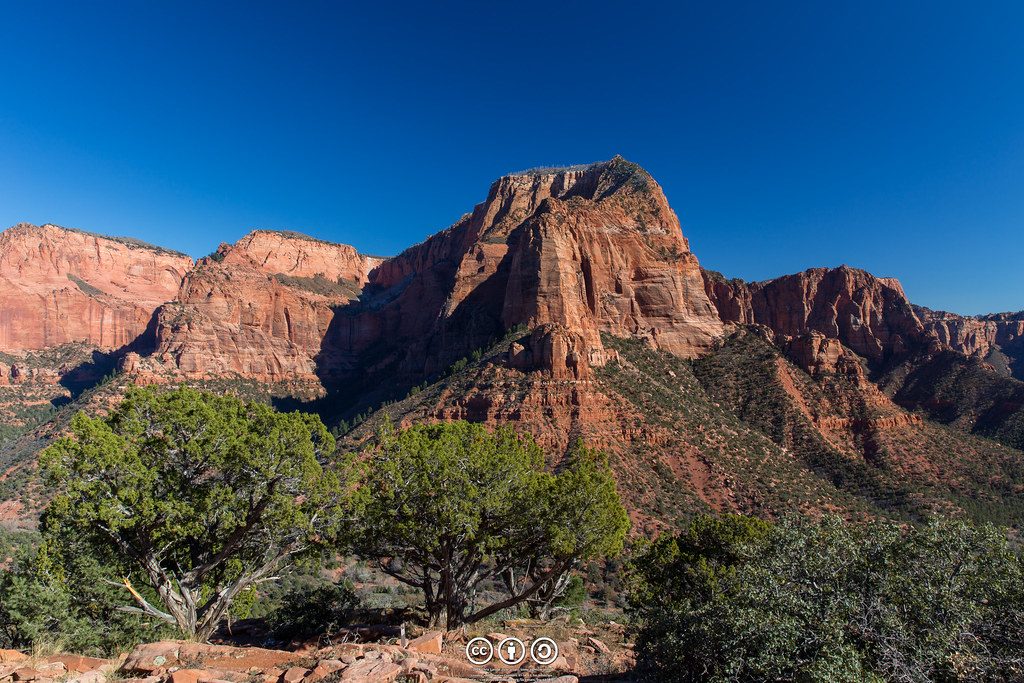
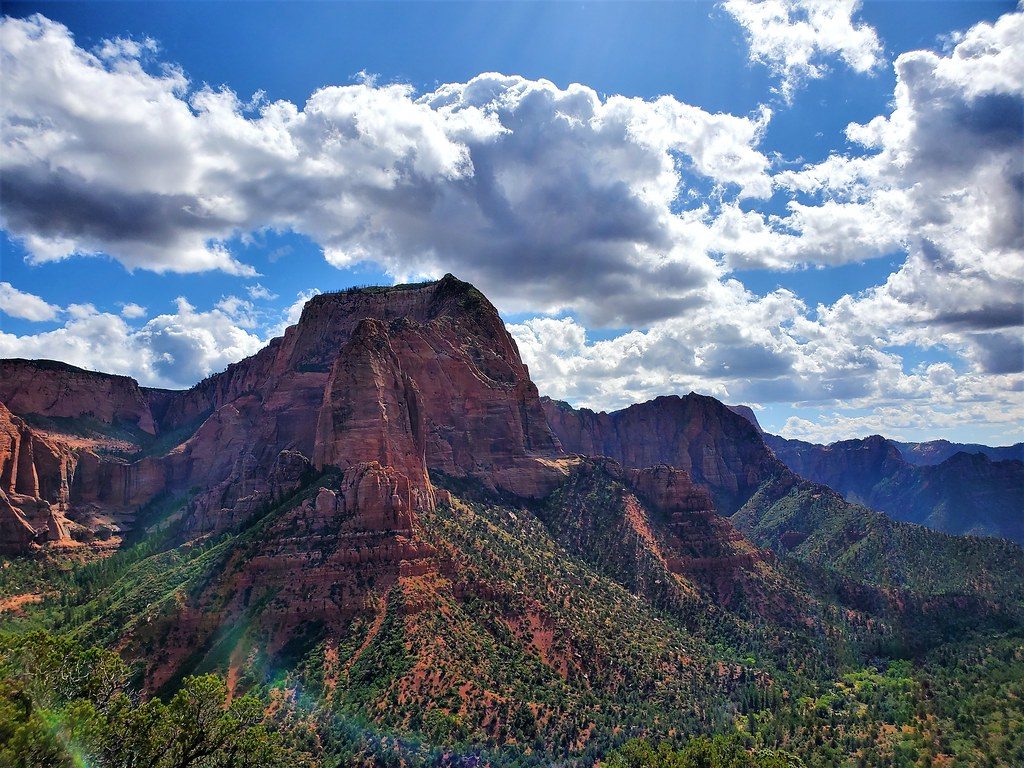
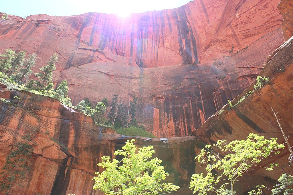
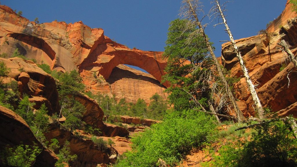
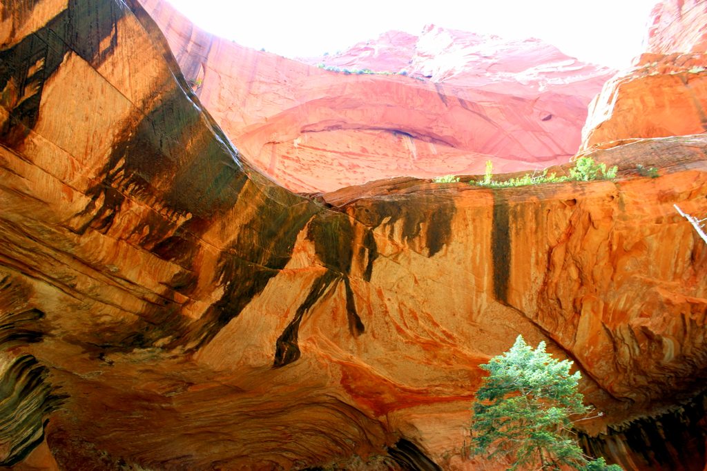
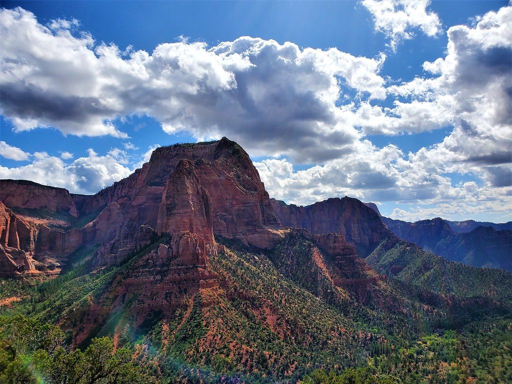
Tucked in Zion’s quieter Kolob Canyons, the La Verkin Creek Trail trades the circus of Zion Canyon for big skies, rust-red “Finger Canyons,” and the payoff of Kolob Arch—one of the largest natural arches. Most hikers aim for the Kolob Arch viewpoint: about 14 miles round trip total from Lee Pass with 7–10 hours on trail. The full La Verkin Creek Trail runs roughly 11 miles one way to the park’s northwest boundary.
From Lee Pass, the trail drops quickly—about 400 feet—then rolls along Timber Creek before bending around Gregory Butte and settling beside La Verkin Creek. Expect stretches of soft sand that slow your pace. The arch spur leaves the main trail around mile 6; it’s a rugged ~0.5-mile detour to the signed viewpoint. Past the arch junction, the canyon narrows and becomes more remote with multiple creek crossings. Beartrap Canyon sits about two miles beyond the arch junction; a short half-mile up-canyon reaches a 30-foot falls. Continue even farther and you’ll brush into the rougher upper reach toward Willis Creek and the park boundary—less traveled, sometimes overgrown, occasionally requiring minor bushwhacking.
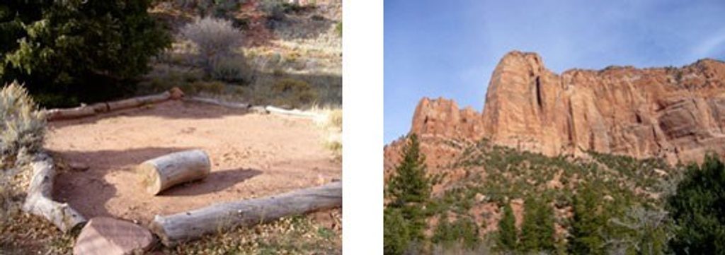
There are 13 designated backcountry camps along the corridor (permit required). Sites vary from shaded cottonwood pockets near Timber Creek to larger creekside benches with ponderosa pine and views. Some are reservable in advance; others are first-come, first-served at the wilderness desk. La Verkin Creek generally flows year-round, but treat all water—there’s upstream agriculture and, at times, cyanobacteria advisories. Springs supplement the creek near the Hop Valley junction (Beatty Spring) and around select camps; day hikers are still wise to carry what they need.
Call it moderate–strenuous for a day: the miles add up, sand saps energy, shade is limited, and the steepest work—about a 1,000-foot climb—lands at the very end when you’re tired. Beyond the arch junction, expect more creek crossings and a more rugged feel. Cell service is spotty to nonexistent; bring an offline map and be self-sufficient.
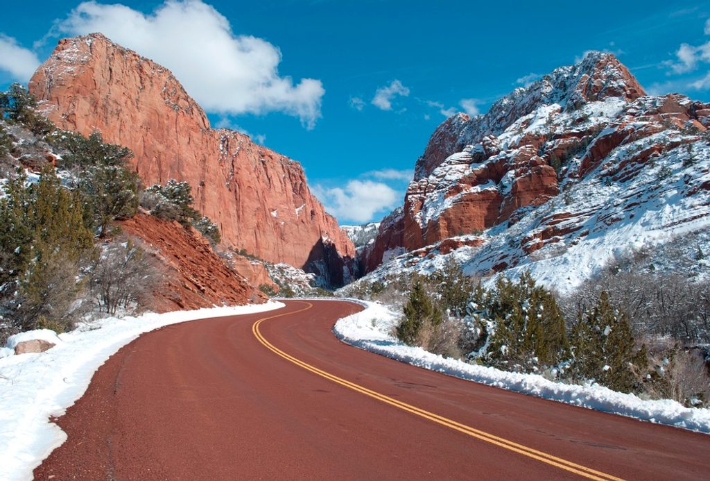
Spring and fall are the sweet spots for temps and lighting, and Kolob Canyons avoids the shuttle logistics altogether. Summer is doable but hot—start early and budget extra water. Winter can hold snow and lingering ice into early spring; traction may help in those conditions.
Park at Lee Pass Trailhead, about 3.8 miles up Kolob Canyons Road from the entrance; limited spots—arrive early.
Hot, exposed miles with soft sand; limited cell service; treat all water (periodic cyanobacteria advisories—favor springs); multiple creek crossings beyond the arch; brushier, less-maintained tread past Beartrap Canyon; winter snow/ice possible; permit required for all overnight camping.
Place · 1.3 mi away
Place · 1.3 mi away
Place · 1.6 mi away
Place · 1.6 mi away
Challenging · 0 mi away
Moderate · 0.8 mi away
Moderate · 0.8 mi away
Easy · 1.3 mi away

Parkwolf Tour Guide
