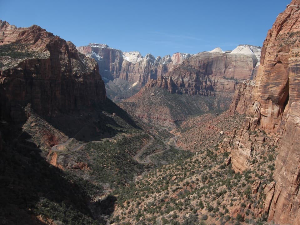
Parking
Use the Timber Creek Overlook Trailhead parking area at the end of Kolob Canyons Road.
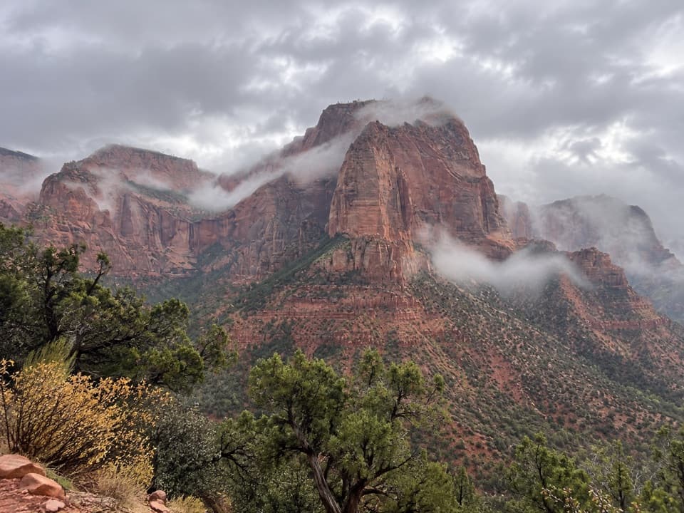
Zion National Park, UT
Short ridge, red cliffs, and a long look toward Pine Valley.
Overview
Map & elevation
Plan your hike

The highest, rockiest slopes around here are a summer buffet for grizzly bears.
Zion Tour Guide
Parkwolf is a GPS audio tour guide for Zion National Park. As you drive, it chimes in with what’s ahead: hidden gems, upcoming stops, history, geology, and wildlife, right through your car’s speakers.
See the Zion audio tourRecorded for this trailhead
Kolob Canyons Viewpoint“You're nearing Kolob Canyons Viewpoint, where the road ends above a row of red sandstone canyons. Stop here even if you don't want to hike: the panorama starts at the parking area.”
Plays as you drive up to this trailhead in the Parkwolf Zion Tour Guide.
More stories near here in the app
“Fantastic app with many points of information… It’s great to just turn on while you’re driving and it gives you an audio tour of the national Park. We love it!!!!”


Trail guide
Timber Creek Overlook is a 1.2-mile out-and-back from the parking area at the end of Kolob Canyons Road to a rocky ridge-end viewpoint. The 0.6-mile trail out is walked back the same way. Allow 30–60 minutes; the route climbs about 117 feet overall. It's an easy extra hike if you're already in Kolob Canyons and want a short walk to broad canyon views.
From the road-end lot, a short connection past the picnic area leads onto the ridge. The path rises and dips through low shrubs and scattered junipers, with the views opening as you walk south. Turn around at the overlook and return on the same track. The end looks across Timber Creek toward Shuntavi Butte, Kolob Terrace, and the Pine Valley Mountains. On a clear day, look far south for Mount Trumbull. For a photo, keep some of the nearer red ridge in the foreground so the canyons read as layers rather than a flat wall.
Most of the tread is firm dirt with some rock, but it isn't a smooth stroll: the trail assessment records a few steps as high as 18 inches and a very short narrow spot at a boulder. The overall climb is modest, though one pitch is steep. Dirt can turn muddy when wet, so this is a better choice after the ground has dried.
Wildlife
 291 sightingsCalifornia CondorMost seen around 11 AMSighting map
 350 sightingsBighorn SheepMost seen around 7 AMSighting map
 22 sightingsMountain LionMost seen around 7 PMSighting map
 1,326 sightingsMule DeerMost seen around 6 AMSighting map
 23 sightingsGolden EagleMost seen around 10 AMSighting map
 15 sightingsPeregrine FalconMost seen around 7 AMSighting map
Sighting maps show where each species has been reported across Zion. Wildlife moves, so no sighting is guaranteed.
Keep exploring
 ChallengingLa Verkin Creek Trail to Kolob Arch14 mi · 8 hr · 1.3 mi awayA long creek walk earns a distant view of Kolob Arch.
 ChallengingTrans-Zion Trek37 mi · 1 day · 1.3 mi awayA backcountry crossing from Kolob's creek canyons to Zion Canyon.
 ChallengingLa Verkin Creek Trail to Bear Trap Canyon Falls18.1 mi · 11 hr · 1.3 mi awayAn 18-mile out-and-back to Bear Trap Canyon Falls in red sandstone.
 ModerateSouth Fork of Taylor Creek Trail3 mi · 3 hr · 1.7 mi awayA sandy canyon path beneath Kolob’s high red walls.
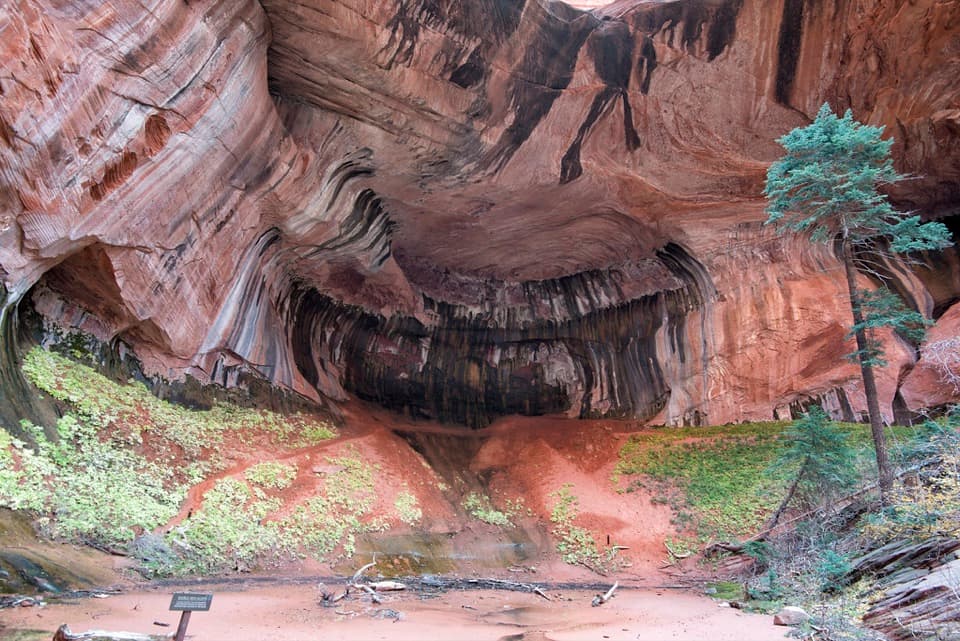 ModerateTaylor Creek Trail5.2 mi · 3.5 hr · 1.8 mi awayTwo homestead cabins lead to a shaded sandstone alcove.
 ModerateNorth Fork of Taylor Creek5.5 mi · 4 hr · 1.8 mi awayA quiet canyon walk, an easy to miss fork and small arch.
 ChallengingCamp Creek Hike8.5 mi · 5.5 hr · 4.8 mi awayA rough canyon walk to twin stone portals and pitted red walls
 ModerateConnector Trail5.1 mi · 2.5 hr · 8.2 mi awayOpen meadows and slickrock connect two Kolob trailheads.
 Sight · 0.1 mi awayKolob Canyons ViewpointA five-mile drive earns a sweeping view of red finger canyons.
 Sight · 0.5 mi awayTimber Creek OverlookA rocky ridge walk to Kolob’s wide southern horizon.
 Visitor center · 1.8 mi awayKolob Canyons Visitor CenterYour required pass stop before Kolob's five-mile scenic road.
 Sight · 2.1 mi awayLarson CabinA 1931 log cabin marks a homestead that never quite took hold.
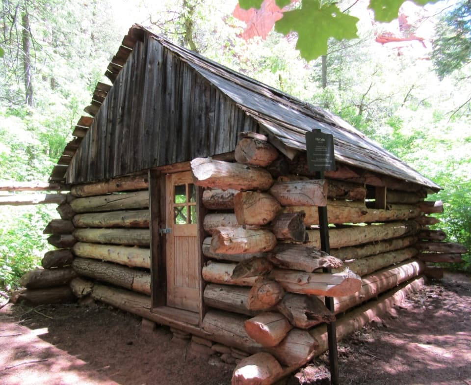 Sight · 2.4 mi awayFife CabinA small 1930s homestead gives the creek hike a human story.Sight · 2.6 mi awayDouble Arch AlcoveA streaked sandstone alcove caps a creek-crossing hike.
 Sight · 2.9 mi awayKolob ArchA full-day canyon hike to an arch you see from afar.
 Campground · 9.9 mi awayLava Point CampgroundSix tent sites on Zion's high, remote Kolob Terrace.
Parkwolf’s Zion ranking

The audio tour guide for the drive, plus offline maps, trails, and wildlife heatmaps for when the signal drops.