Pros & cons
PROS
- Quiet golden-sand cove away from the water‑taxi crowds
- Easy add-on between Anapai and Mutton Cove on the Coast Track
CONS
- No facilities or drinking water on site
- Access is by foot from Tōtaranui or Whariwharangi (no boat drop-offs)
Overview
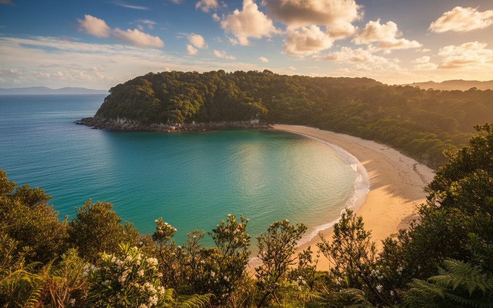
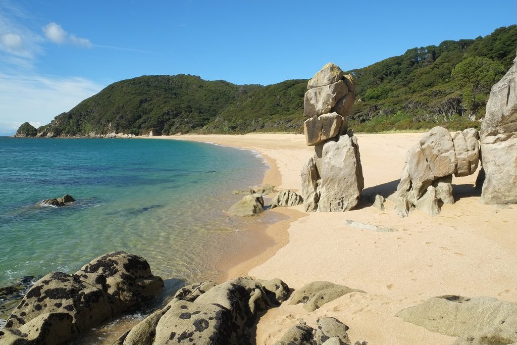
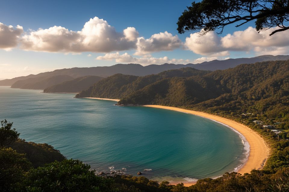
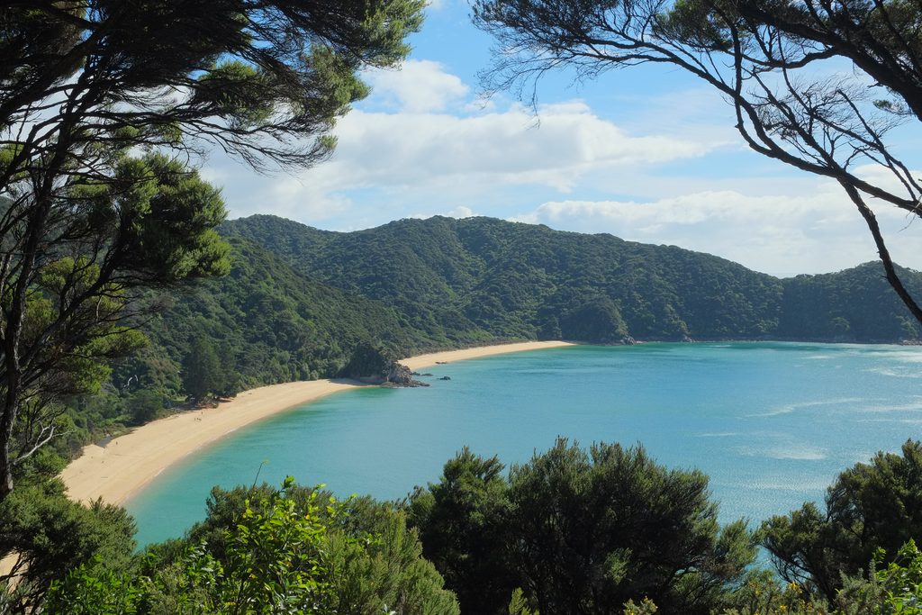
Tucked between Anapai Bay and Mutton Cove at the park’s far north, Anatakapau Bay is the Coast Track at its most serene: golden sand, clear water, and forested headlands without the bustle you’ll find farther south. It’s a classic swim-and-laze stop that feels delightfully out of the way.
Getting There
- Road access ends at Tōtaranui. Scheduled water taxis don’t run north of Tōtaranui, which keeps this stretch quieter.
- Walk 45–60 minutes from Tōtaranui to Anapai Bay, then a short climb and sidle drops you onto Anatakapau.
- From the north, approach via Whariwharangi Bay to the junction above Mutton Cove, then descend to the beach.
What You’ll See
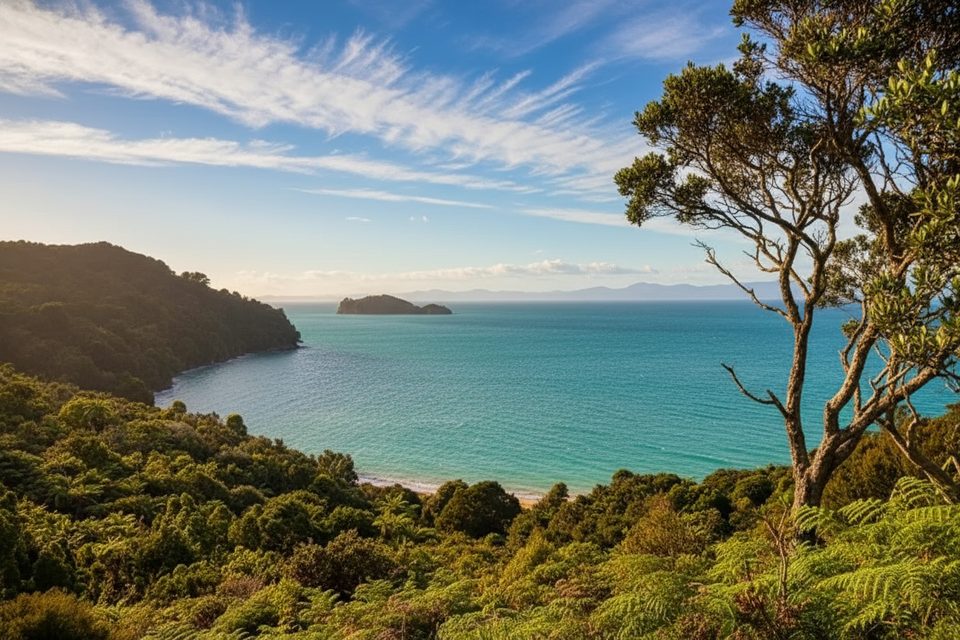
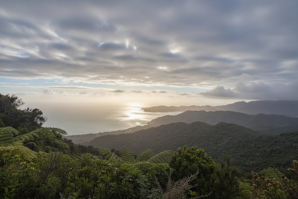
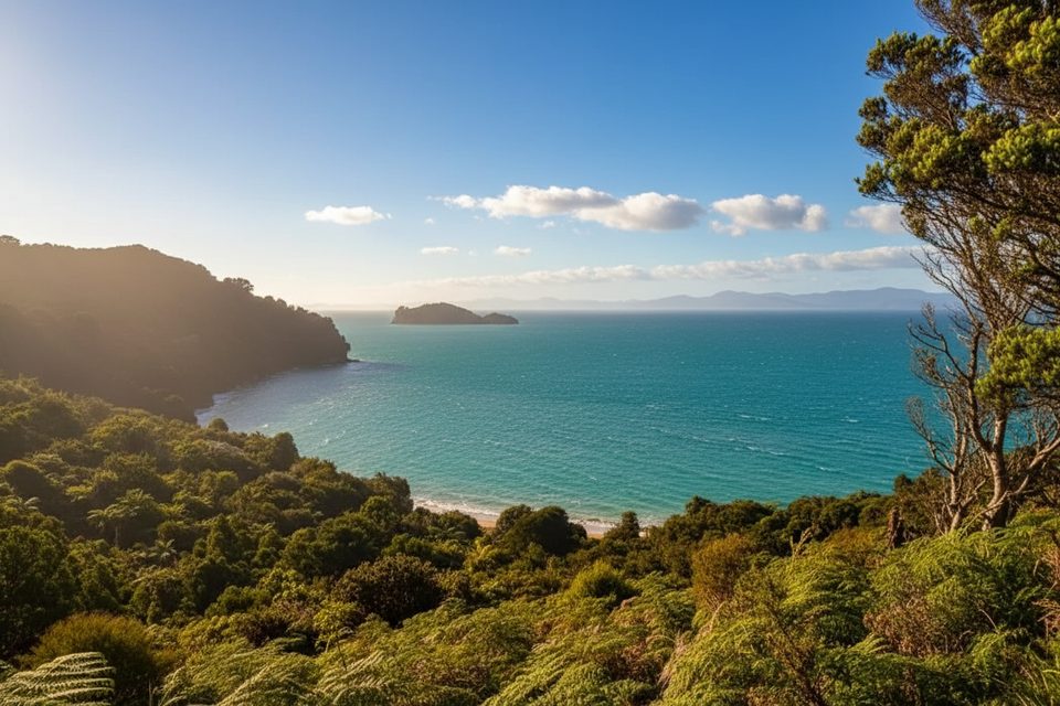
Expect a wide, golden beach backed by bush-clad hills and turquoise water. The Coast Track threads the dunes, so it’s easy to combine a dip with a short leg-stretch to neighboring coves.
Facilities and Camping
There is no campsite or infrastructure at Anatakapau Bay itself. Overnight options bracket it: Anapai Bay Campsite to the south and Mutton Cove Campsite to the north, both Great Walk campsites that require advance booking. If you’re looping the northern section, Whariwharangi Hut is the nearest hut.
Add-on: Separation Point (Te Matau)
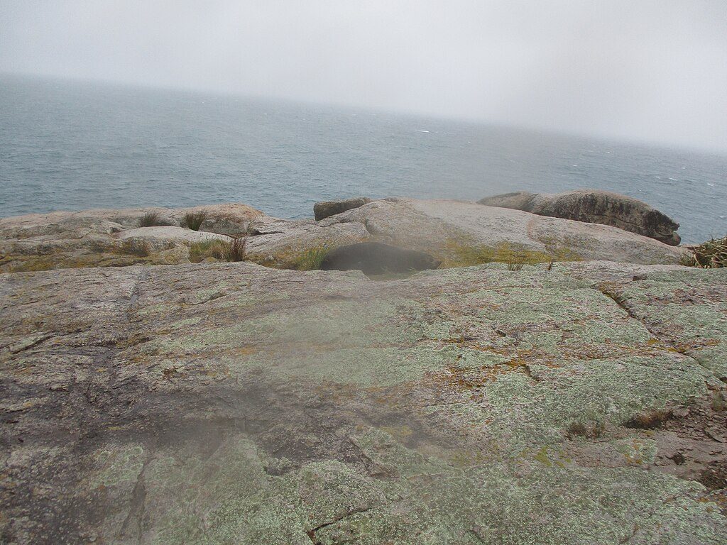
From the north end of Mutton Cove, a side track leads to Separation Point. The final section is steep and rough—many leave packs at the bush edge. Allow roughly an extra hour return and give fur seals plenty of space (at least 20 m).
Tides and Planning
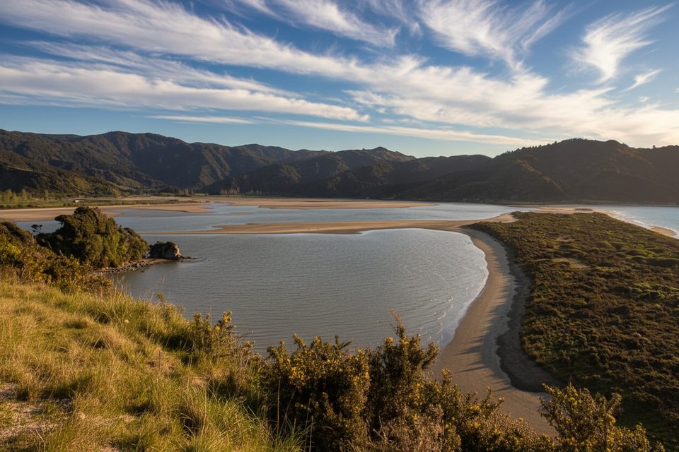
Between Tōtaranui, Anatakapau Bay, and Whariwharangi there are no tidal crossings to worry about. Tidal timing only matters if you’re linking from the south via Awaroa Inlet and other optional estuary routes.
Best Time to Visit
Summer (December–March) brings the warmest water and the longest days. With no water taxis servicing this section, even peak season feels calmer than the busier southern beaches. Year-round, pack out all rubbish and follow no‑dog and no‑drone rules.
Where it is
-40.7925, 172.9979Tips for Anatakapau Bay
- 01Start from Tōtaranui—no scheduled water taxis run north of here.
- 02Carry all the water you need and use toilets at nearby DOC campsites.
- 03If detouring to Separation Point, budget about an extra hour return.
- 04Keep at least 20 m from seals and pack out all rubbish.
- 05No tidal crossings between Tōtaranui and Whariwharangi, but plan tides if linking via Awaroa.
Near Anatakapau Bay
All places →All trails →
0.3 mi awayMutton CoveQuiet golden-sand cove with clear water and a tiny campgroundRestroom · Campground
0.3 mi awayMutton Cove CampsiteBeachfront tent sites near Separation Point’s sealsRestroom · Campground
0.7 mi awaySeparation PointWindy granite headland where seals bask below sweeping baysScenic Viewpoint
0.8 mi awayAnapai Bay CampsiteTiny beachside camp with golden sand, clear swims, and sunrise viewsRestroom · Picnic Table
2.1 mi awayTotaranui to Anapai Bay TrackEasy coastal stroll to a rock-sculpted, golden-sand hideawayEasy · 4.1 mi · 2 hr
2.1 mi awayHeadlands TrackShort ridge loop above Tōtaranui with peekaboo bay viewsModerate · 3 mi · 1.8 hr
2.5 mi awaySeparation Point Loop TrackGolden beaches to a windy seal colony via a big, satisfying loop.Moderate · 11.8 mi · 6.8 hr
2.5 mi awayWhariwharangi Bay TrackQuiet northern Coast Track to a beachside historic hutModerate · 3.5 mi · 2 hr