Pros & cons
PROS
- Loop starts and ends at Tōtaranui campground—zero transport hassle
- Distinct vegetation shifts with beech regeneration and pockets of northern rātā
- No tidal timing required compared with other coastal sections
CONS
- Views are intermittent due to vegetation rather than one big lookout
- Last 12 km to the trailhead is a narrow, unsealed road
Tōtaranui campground/carpark at the end of Tōtaranui Road.
Wasps December–April, untreated water risk (Giardia), strong UV, and a narrow unsealed 12 km access road; pack out all rubbish.
Overview
This is a short loop circling the ridge above Tōtaranui, offering repeated glimpses of golden bays through breaks in the forest. It’s a straightforward outing when you’re based at the Tōtaranui campground: roughly 3.0 miles total (loop), plan on about 1.5–2 hours, with around 528 feet of climbing. Expect an easy–moderate effort—some steeper bits, but nothing prolonged.
Route
From the Tōtaranui area, follow the Abel Tasman Coast Track north up Anapai Hill, then quickly turn right onto the Headlands Track. The path loops the ridge above Tōtaranui before descending to meet the Pukatea Walk at the bottom of the hill; follow that to rejoin the Coast Track back to your start. No tidal planning is needed for this loop.
What You’ll See
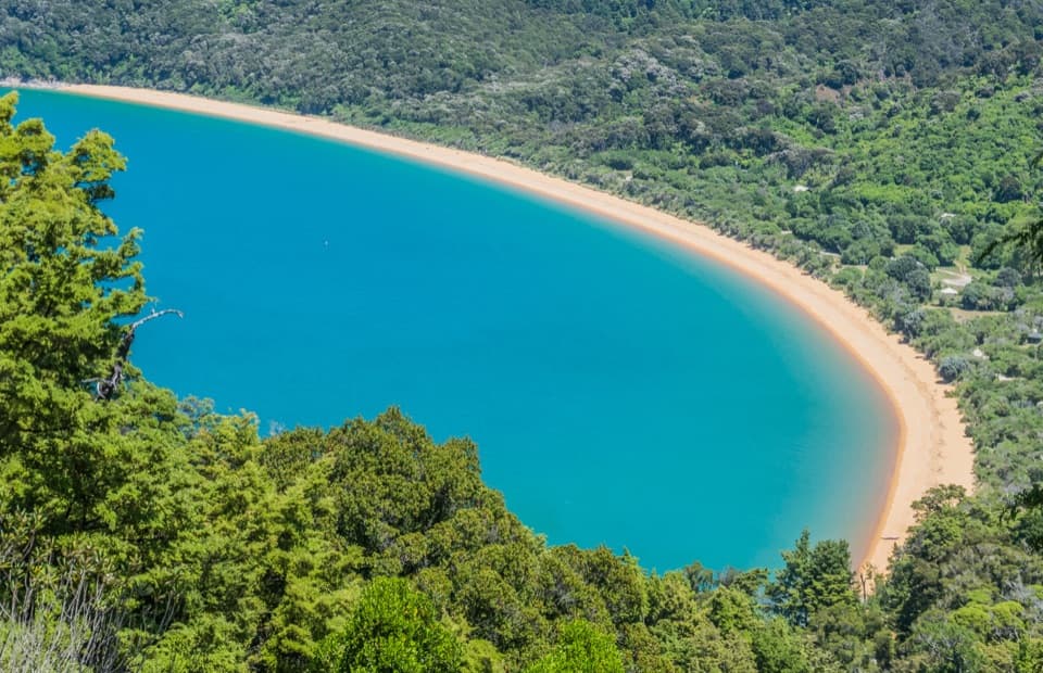
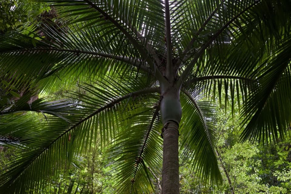
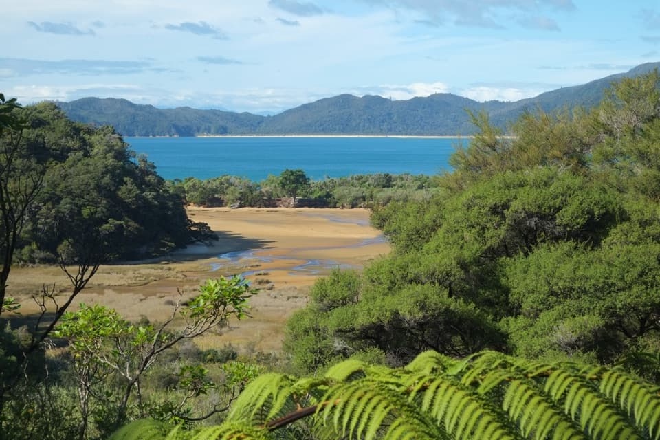
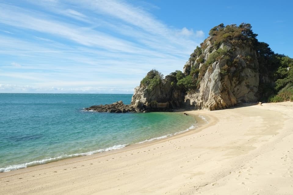
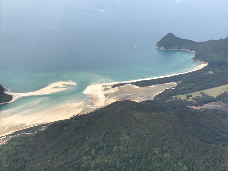
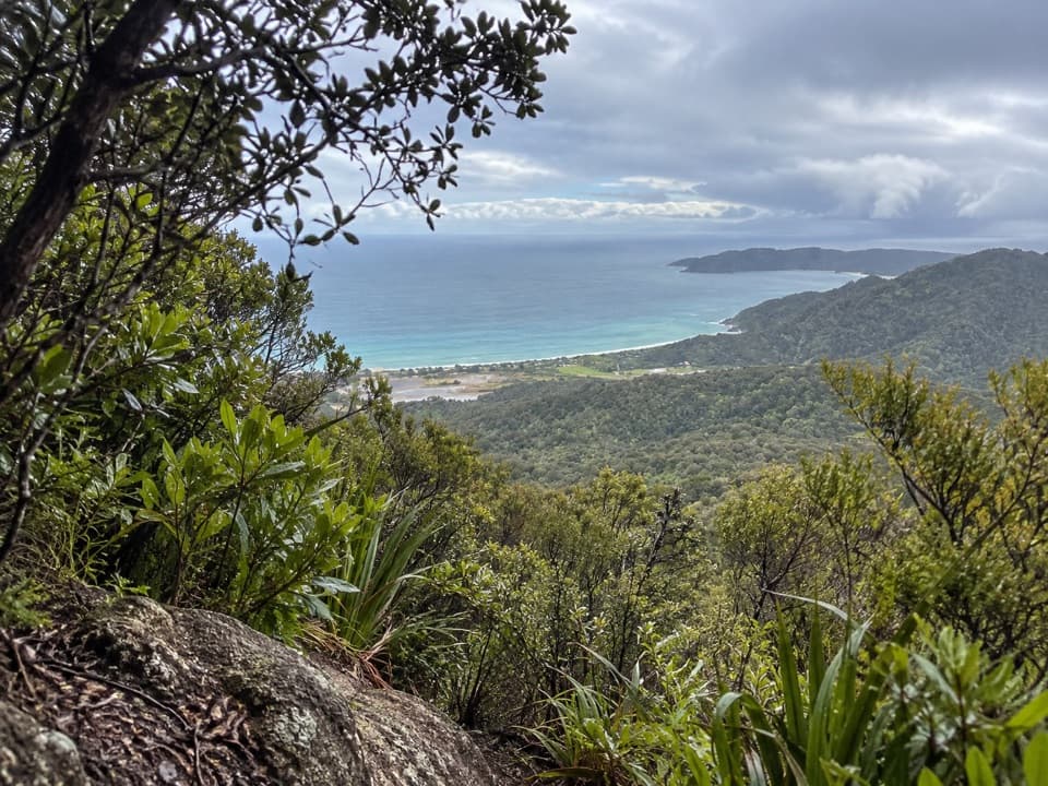
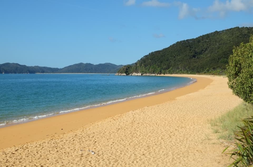
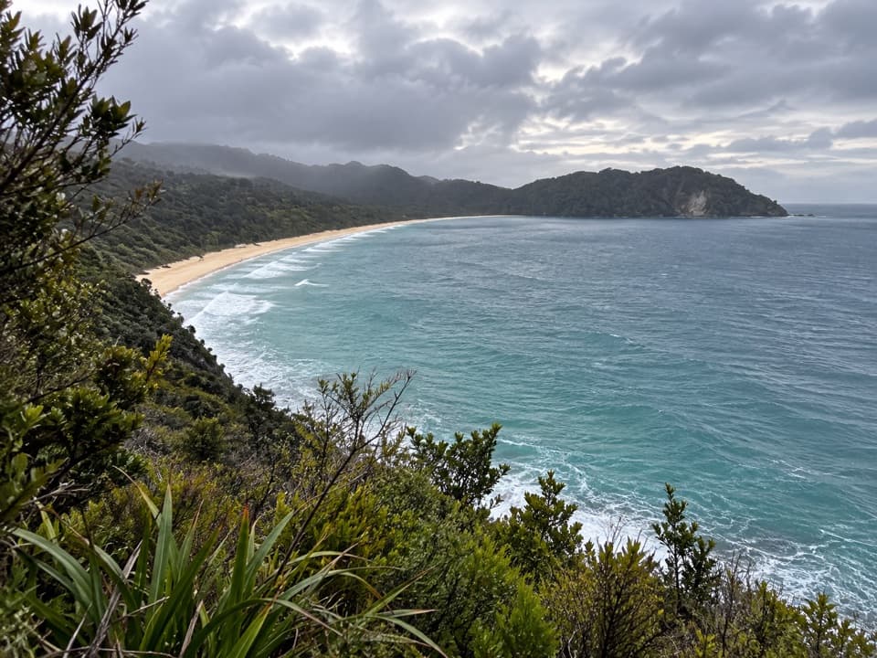
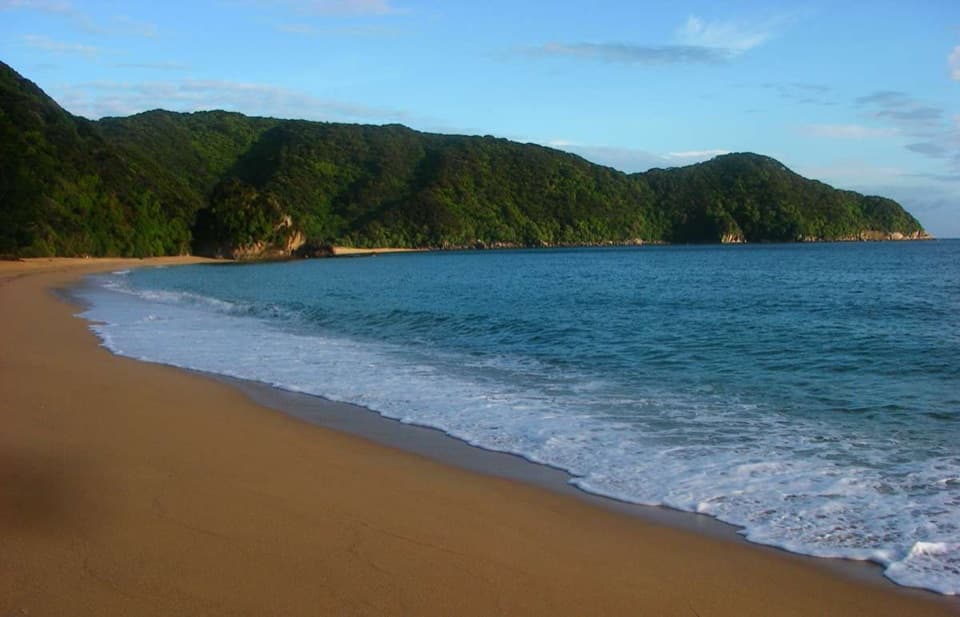
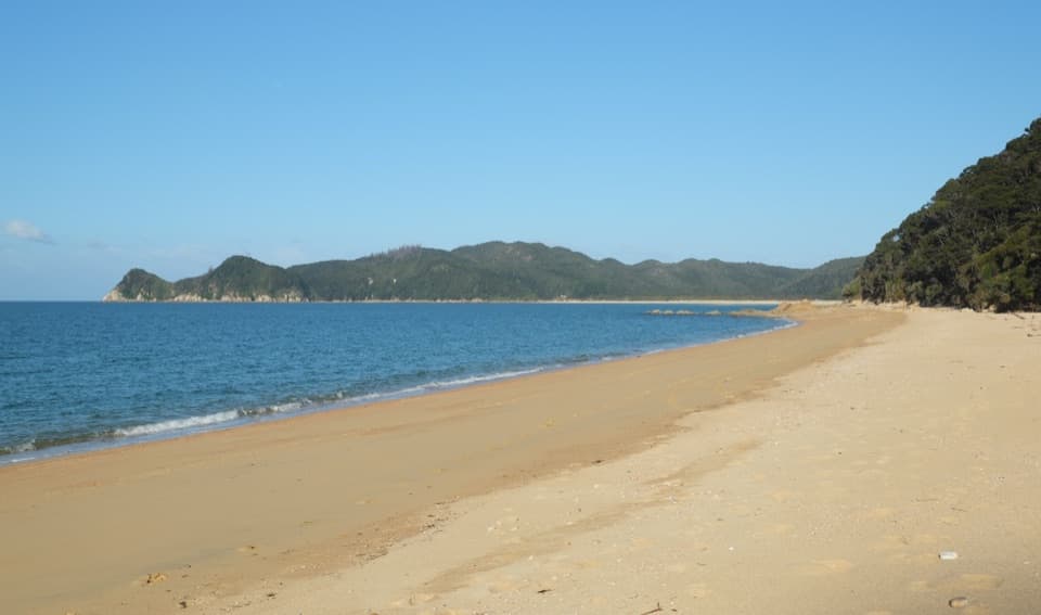
This ridge is a great little sampler of Abel Tasman’s coastal forest. You’ll notice striking changes in vegetation: on drier, infertile ridges there’s beech die‑back with dense regeneration, while more fertile pockets grow taller with northern rātā mingling among big, intertwined beech. Views pop open between trees to Tōtaranui’s sweeping beaches and granitey headlands—never a single grand vista, but plenty of satisfying peeks.
Best Time to Hike
Mornings and late afternoons bring softer light over the bays and cooler temps. Any season works, but wasps are more active December–April. UV is strong year‑round, so sun protection is a must.
Logistics and Access
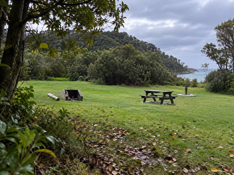
Start from the Tōtaranui campground/carpark at the end of Tōtaranui Road. The final 12 km of access road is narrow, winding, and unsealed—allow extra time and drive cautiously. Tap water at Tōtaranui is filtered. Day visitors must pack out all rubbish.
Hazards and Tips
- Wasps can be a nuisance in warmer months—carry antihistamine if you’re allergic.
- Don’t drink from streams without treating; Giardia is present in some park waters.
- Surfaces are generally well‑formed but expect short, steeper climbs/descents and occasional rough patches.
- Coverage can be patchy—carry a basic first‑aid kit and a charged phone.
If You Want More
After the loop, wander down to Pukatea (Māori Bay) beach for a quick swim, or link short campground walks for extra views without extra logistics.
Elevation
3 mi · 1.8 hrWhere it starts
-40.8225, 173.0043Near Headlands Track
All places →All trails →
0 mi awayTotaranui to Anapai Bay TrackEasy coastal stroll to a rock-sculpted, golden-sand hideawayEasy · 4.1 mi · 2 hr
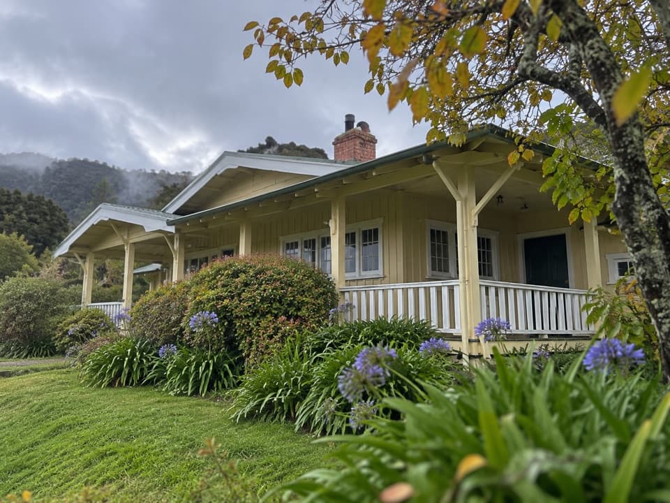
0 mi awayTōtaranui 'Ngarata' HomesteadGroup-only homestead with full kitchen by a golden-sand beachLodging · Restroom
0 mi awayTotaranuiHuge beachfront DOC camp with tracks, tides and starry firesCampground · Restroom
0.2 mi awayTotaranui BeachGolden-sand base with road access, water taxis, and big campgroundTrailhead · Restroom
0.7 mi awaySkinner PointShort lookout with big views over golden Totaranui BeachScenic Viewpoint · Parking
2.7 mi awaySeparation Point Loop TrackGolden beaches to a windy seal colony via a big, satisfying loop.Moderate · 11.8 mi · 6.8 hr
2.7 mi awayWhariwharangi Bay TrackQuiet northern Coast Track to a beachside historic hutModerate · 3.5 mi · 2 hr
3.5 mi awayWainui Falls TrackShort, lush walk to Golden Bay’s biggest waterfall via a swing bridgeEasy · 2.2 mi · 1 hr