
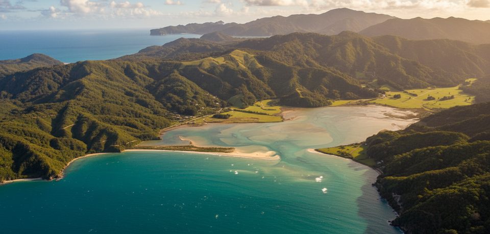
Place · 0.8 mi away
Moderate
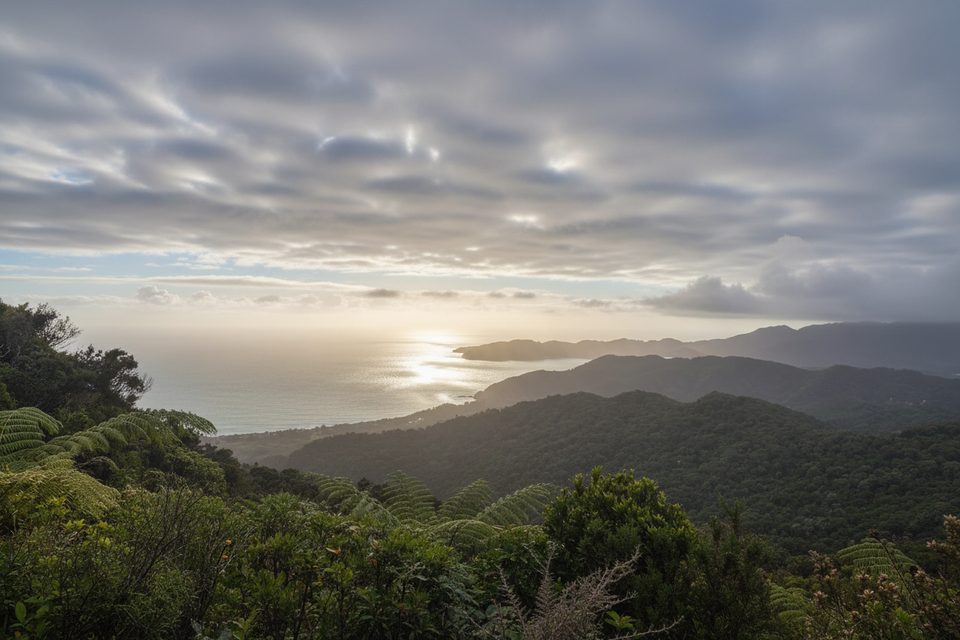
This northern Abel Tasman classic strings together white‑sand coves, forested headlands, and a rocky lighthouse point where seals sprawl on sea stacks below. It’s widely praised as a top day out that doesn’t require a water taxi. The full loop is roughly 19 km/11.8 miles total with about 764 m of climbing and typically takes 6.5–7 hours. A shorter out‑and‑back from Totaranui to Separation Point is about 14.6 km/9.1 miles return and usually 6–7 hours.
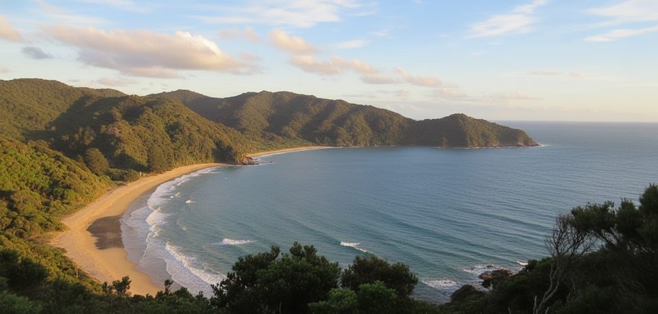
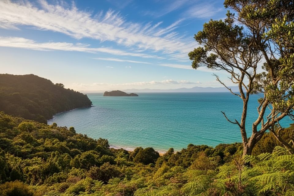
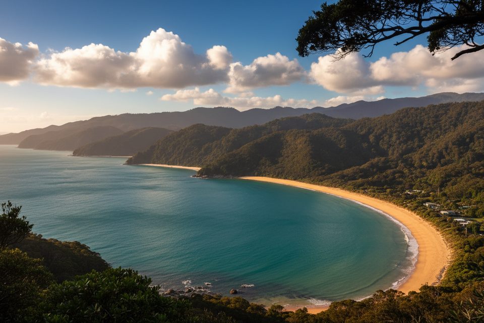
Expect postcard water at Anapai Beach and a larger, dramatic sweep at Mutton Cove. The spur to the historic lighthouse site delivers big views over Golden Bay and the Tasman Sea, plus frequent New Zealand fur seal sightings and offshore seabird activity. Forested sections break up the coast, keeping the day varied.
Underfoot, most of the day is on well‑formed Great Walk–standard track with some beach walking. The last approach to Separation Point includes short rocky scrambles (about 100 m right at the point) and feels exposed—take your time with foot placements. Wind can be strong on headlands even on fine days.
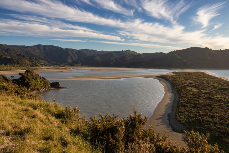
Trailheads with road access sit at Totaranui (northern road end) and at Wainui. Park at the Totaranui DOC campsite carpark for the out‑and‑back or the big loop; Wainui works best for the Gibbs Hill variant. Carry all your food and water; there are no reliable refills on the route and shelter is sporadic. Day hikers don’t need bookings, but any overnight hut or campsite stay must be booked in advance year‑round. This is a fur seal breeding area—keep well back, observe quietly, and don’t go onto the rocks. No dogs and no drones. These variants don’t involve tidal crossings (unlike Awaroa further south), but still check weather before you go.
Abel Tasman is known for generally good weather year‑round. Start early to make the most of the full day and to beat afternoon winds on the exposed points. On any forecast, pack sun protection and a wind layer.
Park at Totaranui DOC campsite carpark; Wainui car park is an alternative start for the Gibbs Hill loop.
Short rocky scrambles and an exposed final approach at Separation Point; strong winds on headlands; keep well away from seals; carry all water and food; overnight huts/campsites require advance booking; no dogs or drones.
Place · 0.8 mi away
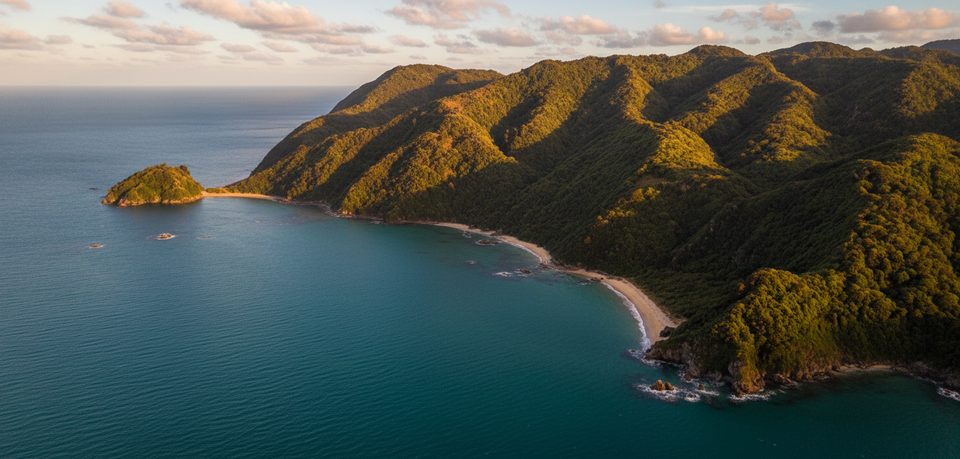
Place · 1.4 mi away
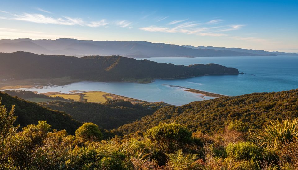
Place · 1.5 mi away
Place · 1.7 mi away
Moderate · 0 mi away
Easy · 2.2 mi away
Easy · 2.7 mi away
Moderate · 2.7 mi away

Parkwolf Tour Guide
