
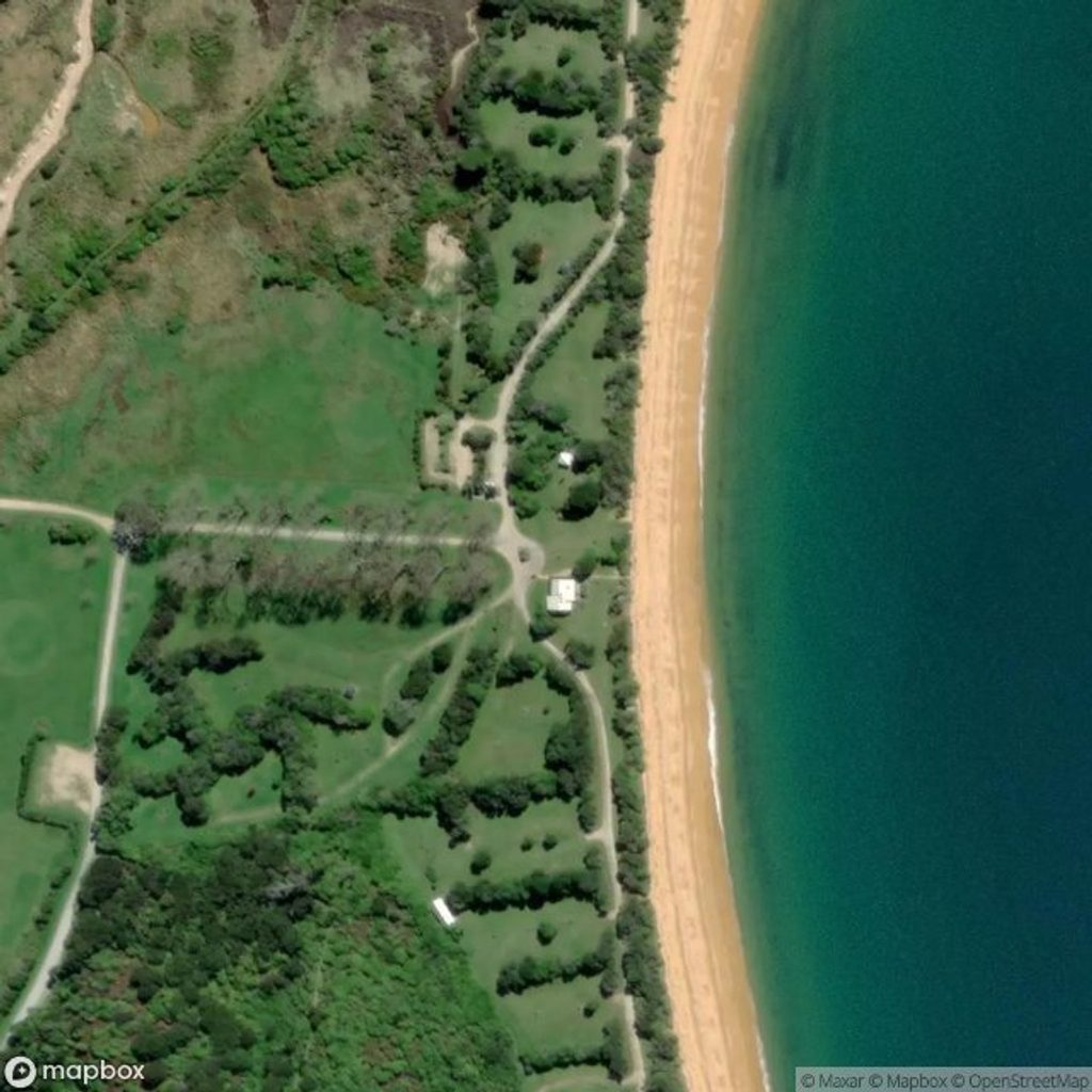
Place · 0 mi away
Easy
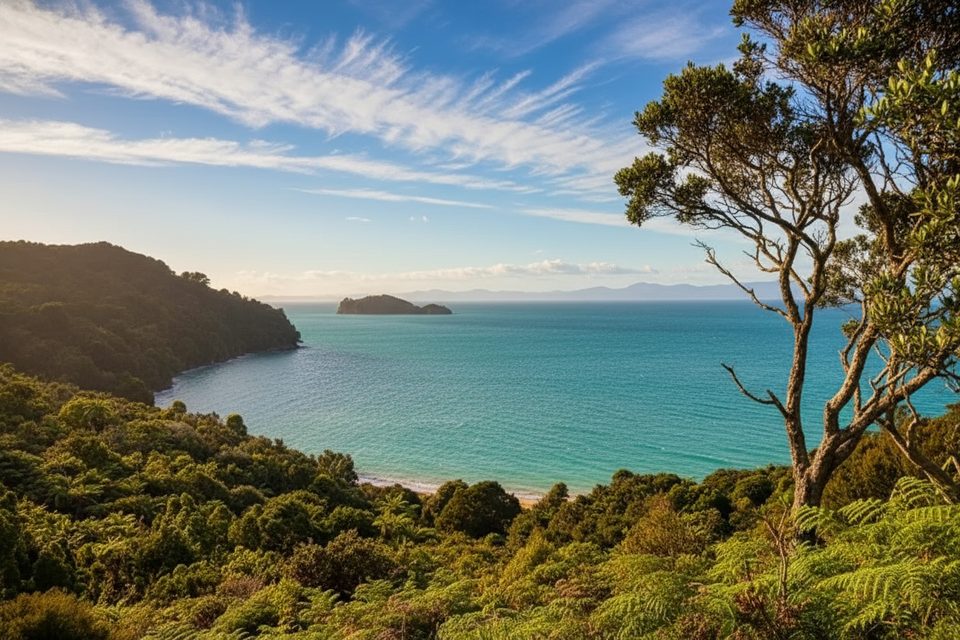
A mellow out-and-back from the Totaranui camp office to one of Abel Tasman’s prettiest bays. Expect Great Walk–standard track under native bush, a short climb over a low saddle, then a gentle descent to Anapai’s golden sand. It’s about 3.3 km one way (roughly 2.1 miles), so plan on 4.1 miles total.
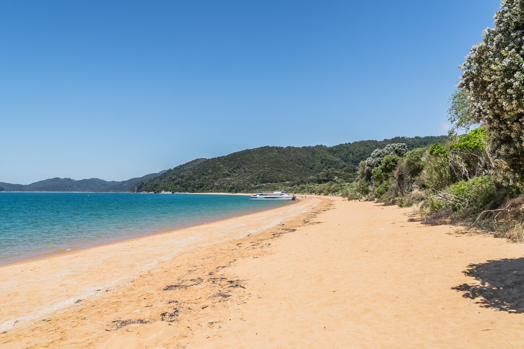
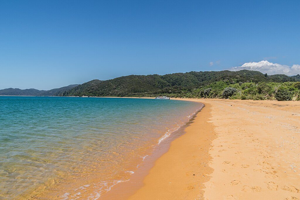
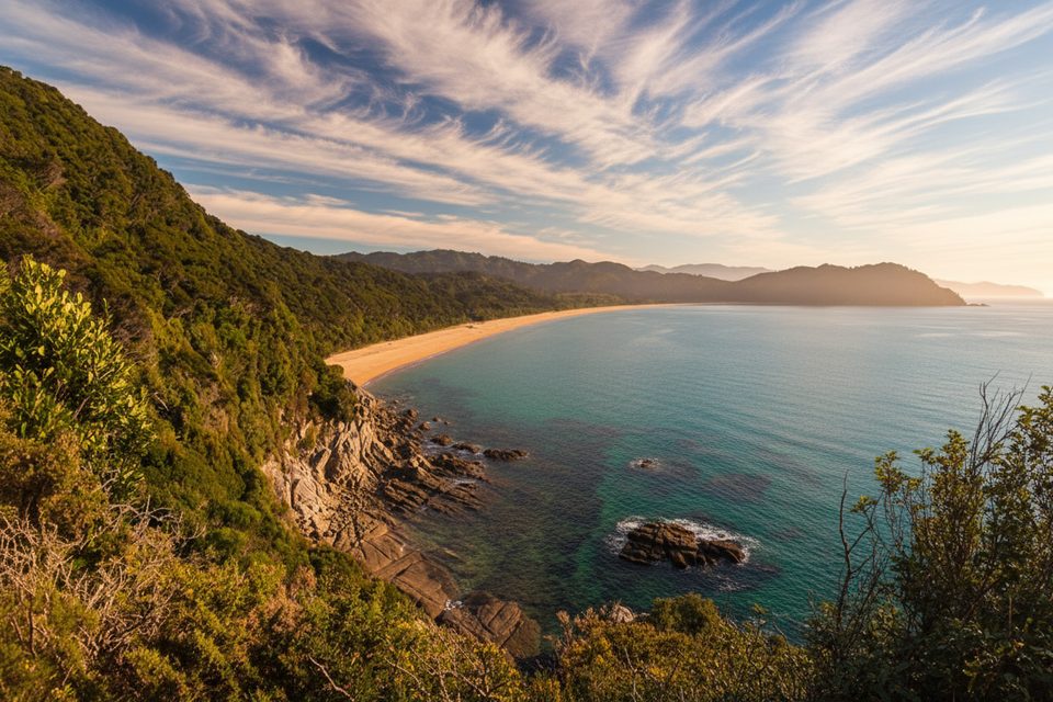
Start at the Totaranui camp office and head north on the Abel Tasman Coast Track. The grade is easy, with a quick rise and fall before the beach. Watch the vegetation shift from dry ridgecrest kānuka to lusher valley forest as you descend. On the beach, notice how rock outcrops split the shore—harder rock shapes the northern end while softer, weathered granite defines the south.
Most walkers take about 1 hour each way, give or take a few minutes depending on pace. The track is well formed and suits most abilities. There’s no tidal timing to worry about—this approach to Anapai is passable at all times.
Totaranui is your launch point, with filtered tap water at the DOC campground. There’s a basic walk‑in/boat‑in campsite and a toilet at Anapai Bay, but no food or shops—pack what you need and carry all rubbish out. Reaching Totaranui by car involves a narrow, winding unsealed road for the final 12 km, so drive slowly.
Bring sun protection and a light layer—the headlands can be breezy. If you have more gas in the tank, you can continue beyond Anapai to quieter northern beaches like Mutton Cove, or make a full‑day push toward Separation Point for bigger views and (often) seals below the lighthouse.
Year‑round works. Mornings often give softer light on the sand and calmer winds. December–April is peak beach weather but also peak wasp season; shoulder seasons are quieter while still pleasant.
Park at the Totaranui DOC campground/camp office area; the track starts here.
Wasps are common December–April; carry antihistamines if allergic. Treat any non‑tap water due to giardia risk. Pack out all rubbish. Expect a breezy headland and a slow, unsealed final 12 km drive to Totaranui.
Place · 0 mi away
Place · 0 mi away
Place · 0.2 mi away
Place · 0.7 mi away

Moderate · 0 mi away
Moderate · 2.7 mi away
Moderate · 2.7 mi away
Easy · 3.5 mi away

Parkwolf Tour Guide
