
Place · 0.5 mi away
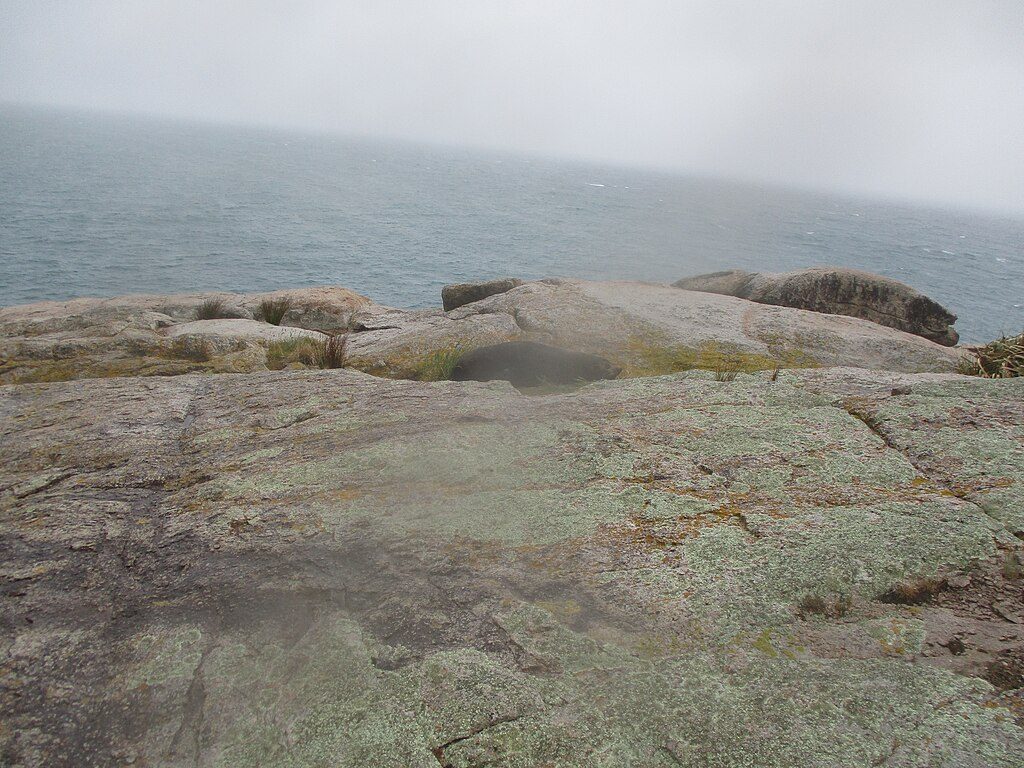
Separation Point is a prominent granite headland at the park’s northern end, marking the divide between Golden Bay/Mohua and Tasman Bay/Te Tai-o-Aorere. It’s all about raw coastline: wave‑washed reefs, a squat lighthouse, and wide views that make the long walk worth it.
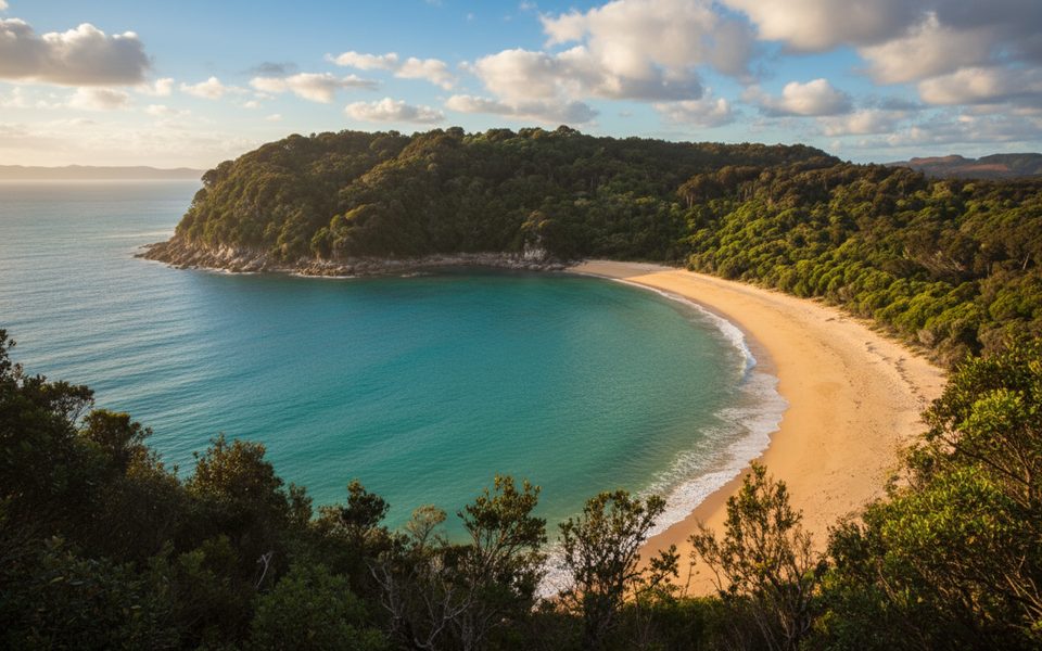
Look down to the sea stacks and ledges for New Zealand fur seals/kekeno hauling out and basking. Offshore and along the coast you’ll spot shags/cormorants, terns, gannets, and forest birds flitting through the bush on the approach. The bedrock here is Separation Point Granite—its pale sands and rocky reefs shape the look of this whole corner of the coast.
Most hikers come from Totaranui on the Abel Tasman Coast Track. A popular option is the out‑and‑back to Separation Point—about 7.3 km one way (roughly 14.6 km return) with generally easy track, beach sections, and a final steeper climb toward the headland. If you want a bigger day, there’s also a loop of roughly 19 km that takes around 6.5–7 hours at a steady pace. The last bit includes a short (~100 m) rocky scramble down to the point—watch your footing.
There are no toilets, shelter, or drinking water at the headland. Use the Department of Conservation facilities at bays and campsites along the track, and plan food and water stops before you head out to the point. The beaches nearby (like Mutton Cove and other northern bays) are better picnic spots and more sheltered than the point itself.
This is prime wildlife habitat. Give seals plenty of space, stay off rocks they’re using, and observe quietly from above. You may also see seabirds working the currents and, at times, little penguins feeding offshore—another reason to keep disturbance to a minimum.
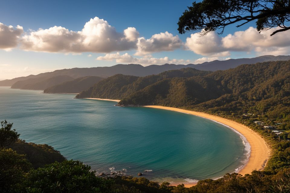
You’re standing on Separation Point Granite, the park’s signature rock. Its coarse, pale grains weather into the golden beaches and influence the sparse, scrubby vegetation on exposed ridges and headlands. Offshore, granite reefs and rich intertidal life make tidepooling intriguing when seas are calm and the tide is low.
Start early. Winds often pick up through the day, and the headland is exposed. Fine, settled weather shows the water color best; summer here is generally mild (around the low 70s °F / ~22°C near Totaranui), but conditions can change quickly. Low tide adds interest to the rocky shoreline and reefs.
The Coast Track is the park’s marquee 60 km route, with side paths leading to the point. Water taxis service major access points like Totaranui if you’re mixing walking with a shuttle. All Department of Conservation huts and campsites require advance booking year‑round—plan accordingly, even if you’re day‑walking and keeping a backup option in mind.
Place · 0.5 mi away
Place · 0.5 mi away
Place · 0.7 mi away
Place · 0.8 mi away
Moderate · 2.5 mi away
Moderate · 2.5 mi away
Easy · 2.8 mi away
Moderate · 2.8 mi away

Parkwolf Tour Guide
