
Place · 1.4 mi away
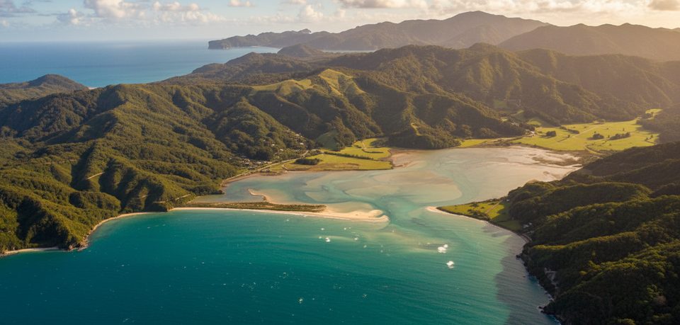
Wainui Bay is the park’s northern road end and a practical launch point for exploring the top of the Abel Tasman Coast Track. It’s about 21 km from Tākaka (and ~128 km from Nelson), with the final ~2 km on gravel. There’s a DOC car park with a basic public toilet, but no freedom camping—plan to stay in booked huts or campsites inside the park. Vehicles are parked at your own risk, and there’s no treated-water tap here.
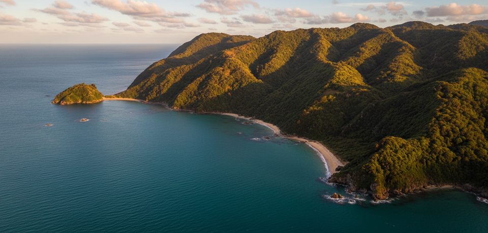
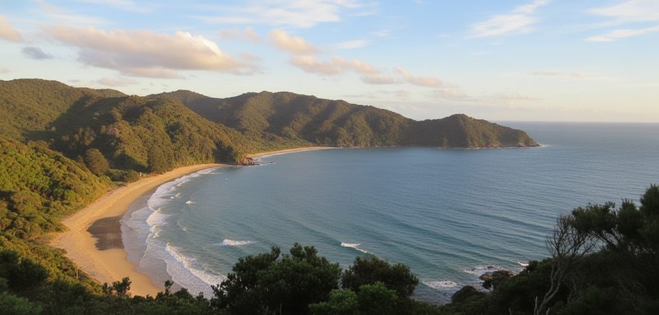
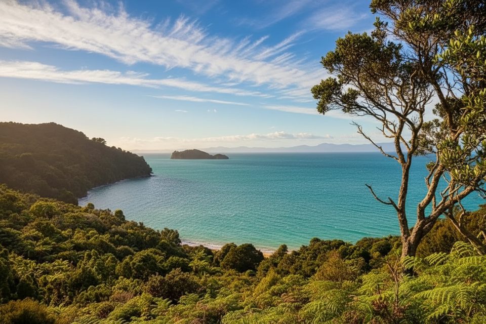
From Wainui you meet classic Abel Tasman scenery straight away: coastal bush, golden sand, and granite headlands. The nearby Wainui Inlet is an inviting spot to cool off or poke around rock pools right by the shore.
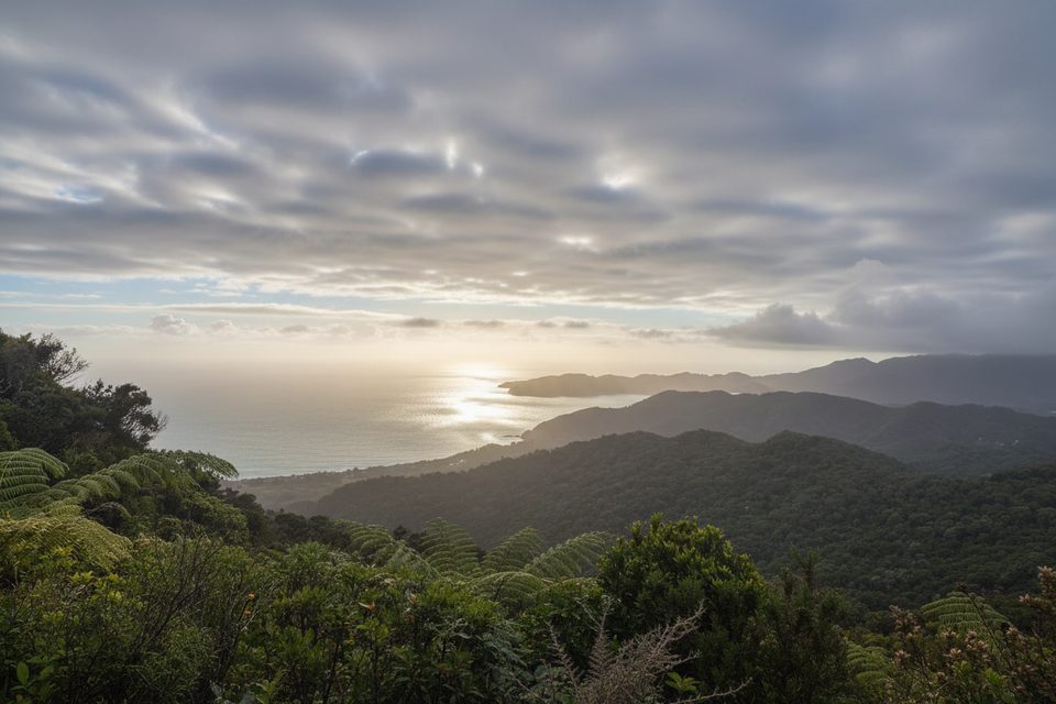
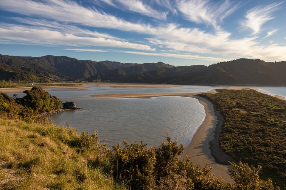
The Coast Track segment between Whariwharangi Bay and Wainui is 5.7 km (about 2 hours). It follows a stream, climbs to a saddle with views over the Wainui Inlet, then winds down to the shore and along the estuary edge to the car park. It’s a tidy intro (or finale) to the Great Walk without committing to a full multi‑day.
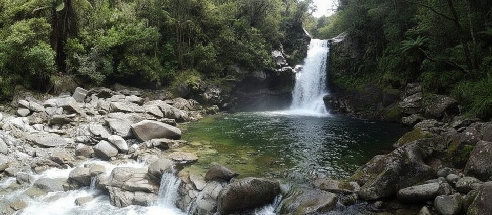
A popular 90‑minute return outing, the Wainui Falls track is an easy crowd‑pleaser. Expect a well‑used path, a long one‑person swing bridge that can cause brief queues on busy days, and a compact viewing area at the falls. Some visitors swim in the chilly plunge pool and even climb behind the falls.
Come early if you want a quieter start and easier parking at the road end. If your plan includes the Awaroa crossing, anchor your whole day to the low‑tide window. Example: on Monday, 24 November 2025, low tides are roughly 06:47 and 18:53, making practical crossing windows about 05:17–08:47 and 17:23–20:53 (daylight only; sunset is around 20:35, so aim to be on the inlet by ~20:10 at the latest). Adjust for your actual date with the DOC tables.
Expect coastal marine life along headlands; keep well back from any seals resting ashore. Ground‑nesting birds are present around estuaries—respect seasonal protections and keep your distance.
Place · 1.4 mi away
Place · 1.6 mi away
Place · 2.1 mi away
Place · 2.1 mi away
Moderate · 0.8 mi away
Moderate · 0.8 mi away
Easy · 2.3 mi away
Easy · 3.4 mi away

Parkwolf Tour Guide
