1 active Abel Tasman alert
- ClosureRoad resealing closures near Kaiteriteri, 29–30 OctoberExpect rolling closures on roads near Kaiteriteri from 6am to 8pm on Thursday 29 and Friday 30 October while crews reseal the roads.Official details
Sight · Abel Tasman National Park
A tide-dependent walk to a Māori pā on Wainui Inlet.
Overview
Map
Plan your stop

The highest, rockiest slopes around here are a summer buffet for grizzly bears.
Abel Tasman Tour Guide
Parkwolf is a GPS audio tour guide for Abel Tasman National Park. As you drive, it chimes in with what’s ahead: hidden gems, upcoming stops, history, geology, and wildlife, right through your car’s speakers.
Recorded for this area
Wainui Bay Coast Track Entrance“Wainui Bay's Coast Track entrance is coming up. The walk to Whariwharangi Bay takes about four hours return, with a climb over a saddle each way, so save it for a proper half-day outing.”
Plays on the road 2.5 km from Taupō Point in the Parkwolf Abel Tasman Tour Guide.
More stories near here in the app
“Fantastic app with many points of information… It’s great to just turn on while you’re driving and it gives you an audio tour of the national Park. We love it!!!!”


Guide
Taupō Point is a headland on the north-east side of Wainui Inlet, reached on foot from Wainui Beach. It suits a coastal walk with beach scenery and a Māori history connection; plan it around the tide rather than treating it as a quick roadside stop.
The rocky shore route is a low-tide option. Uneven rocks can be wet or covered by rising water, so check local tide tables before setting out. When the shore is cut off, use the marked inland high-tide track; it climbs steeply but opens to a wide view back across Taupō Point and Wainui. A local visitor estimate is about an hour each way on the coastal option; allow longer if you need the inland return or continue farther along the coast.
Start at the Wainui road-end car park, reached by an unsealed final 2 km of road. Wainui is the northern end of the Coast Track, but commercial water taxis do not serve it or the northern bays. Dogs are prohibited on the foreshore between Coquille Bay and Wainui. No visitor services are identified at the headland, so plan for the walk from Wainui.
Taupō Point is identified as a pā associated with Ngāti Tūmatakōkiri, and early accounts describe Māori settlement here. A 1997 park history noted that none of six recorded pā in the area had then been archaeologically investigated; the exact traces at this point have not been verified.
The inlet also has a connection to Abel Tasman’s 1642 voyage. His ships were offshore of Wainui when an encounter led him to name the bay Murderers’ Bay. Accounts differ on the death count and whether people from this pā were responsible; the historical account places the encounter somewhere off the inlet, not at this headland. Treat the specific link to the pā as unresolved.
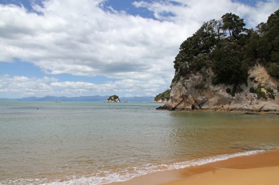
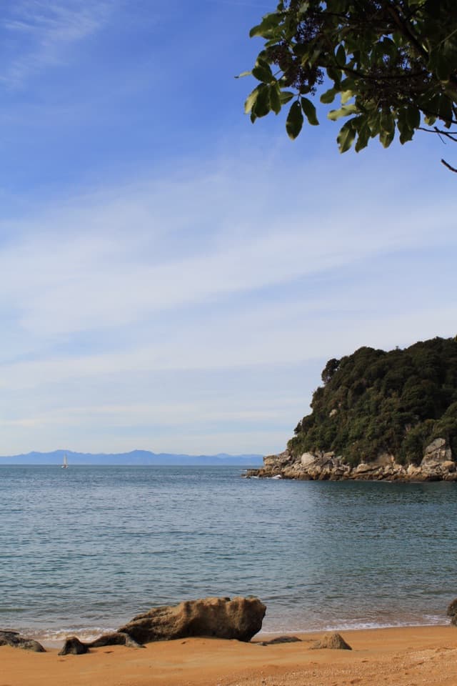
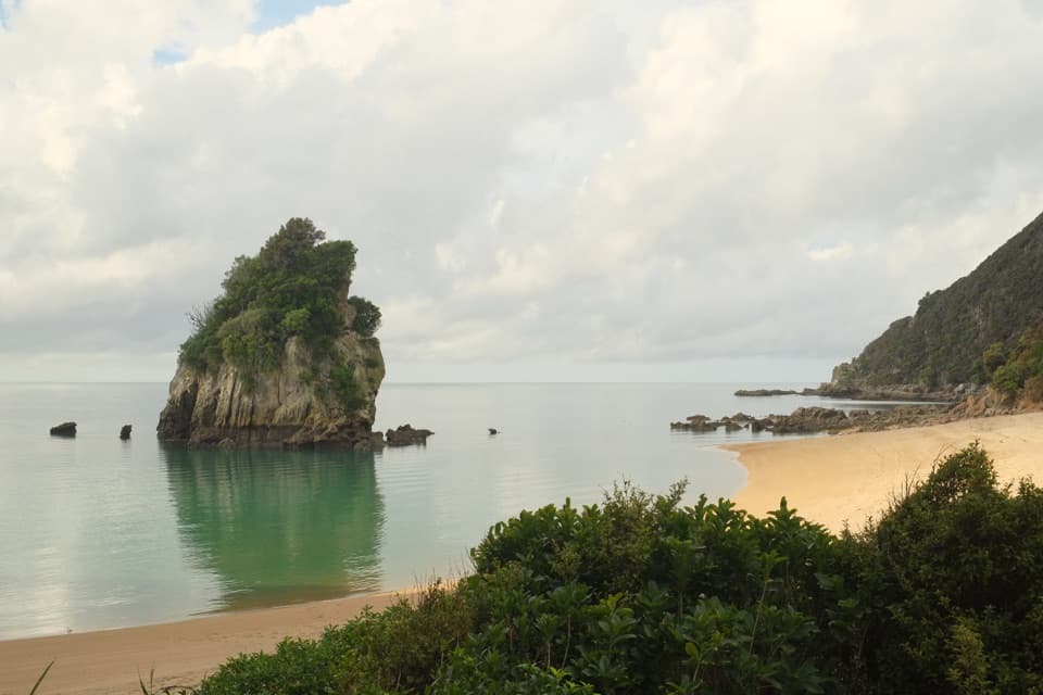
The beach east of the point gives a close view of a tree-covered rock stack just offshore. The marked inland return is the place to pause for the wider look back over Taupō Point and Wainui Inlet; it makes the steep climb more rewarding.
Wildlife
 10 sightingsKeaMost seen around 10 AMSighting map
 54 sightingsNew Zealand Fur SealMost seen around 10 AMSighting map
 20 sightingsLittle PenguinMost seen around 9 PMSighting map
 21 sightingsSouth Island KākāMost seen around 5 PMSighting map
 527 sightingsWekaMost seen around 9 AMSighting map
 16 sightingsTūīMost seen around 7 AMSighting map
Sighting maps show where each species has been reported across Abel Tasman. Wildlife moves, so no sighting is guaranteed.
Keep exploring
 ModerateWainui to Whariwharangi Bay11.4 km · 4 hr · 2.3 km awayA saddle climb to a historic homestead beside a northern bay.
 ModerateWainui to Separation Point17.8 km · 5 hr · 2.3 km awayReach the rocky divide between Golden Bay and Tasman Bay.ModerateTaupō Point Track5 km · 2.5 hr · 2.3 km awayA tide-sensitive coast walk with Māori heritage and limestone stacks.
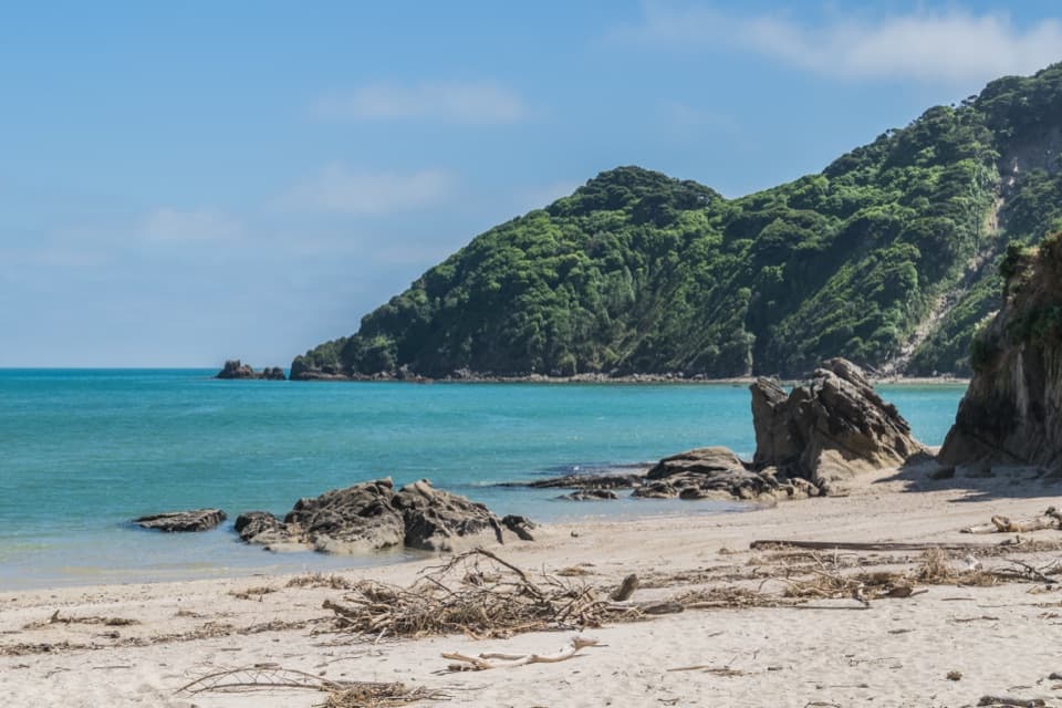 EasyWainui Bay Beach Walk2.3 km · 45 min · 2.3 km awayA short track opens onto an inlet-mouth beach.
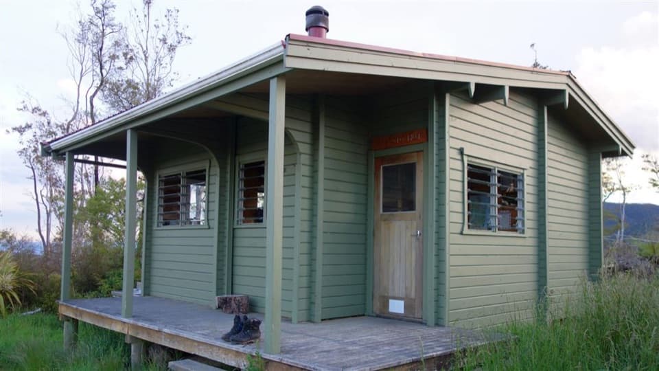 ChallengingPigeon Saddle to Awapoto Hut10 km · 6 hr · 4.9 km awayA steep forest climb to a hut above Awaroa Inlet.
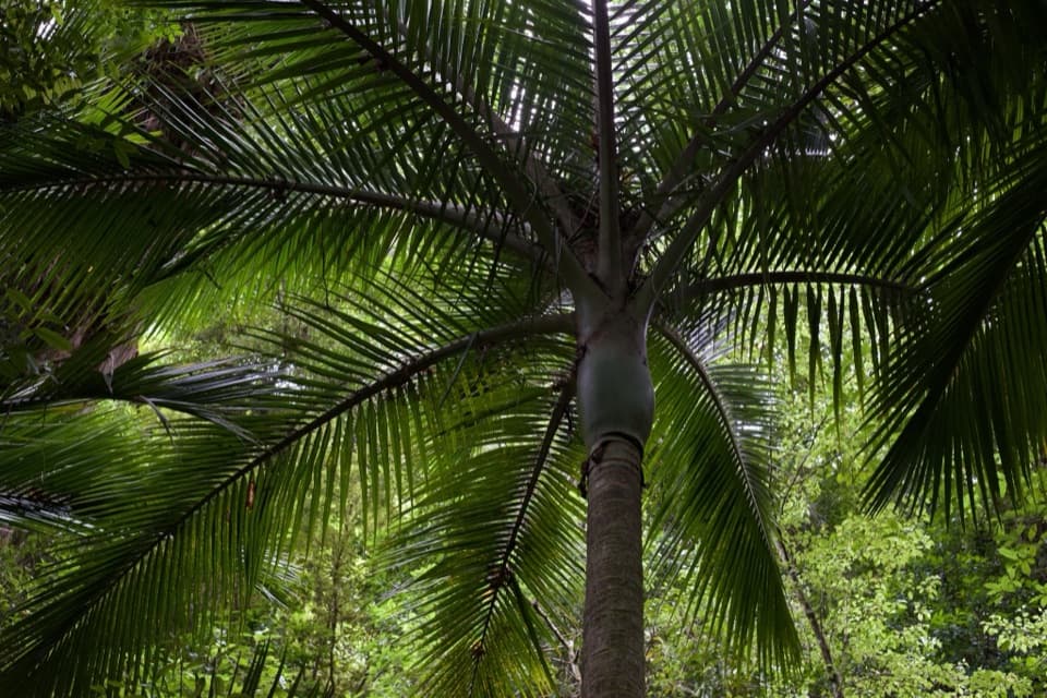 EasyPukatea Walk0.8 km · 30 min · 5 km awayA curving raupō boardwalk leads into pukatea and nīkau forest
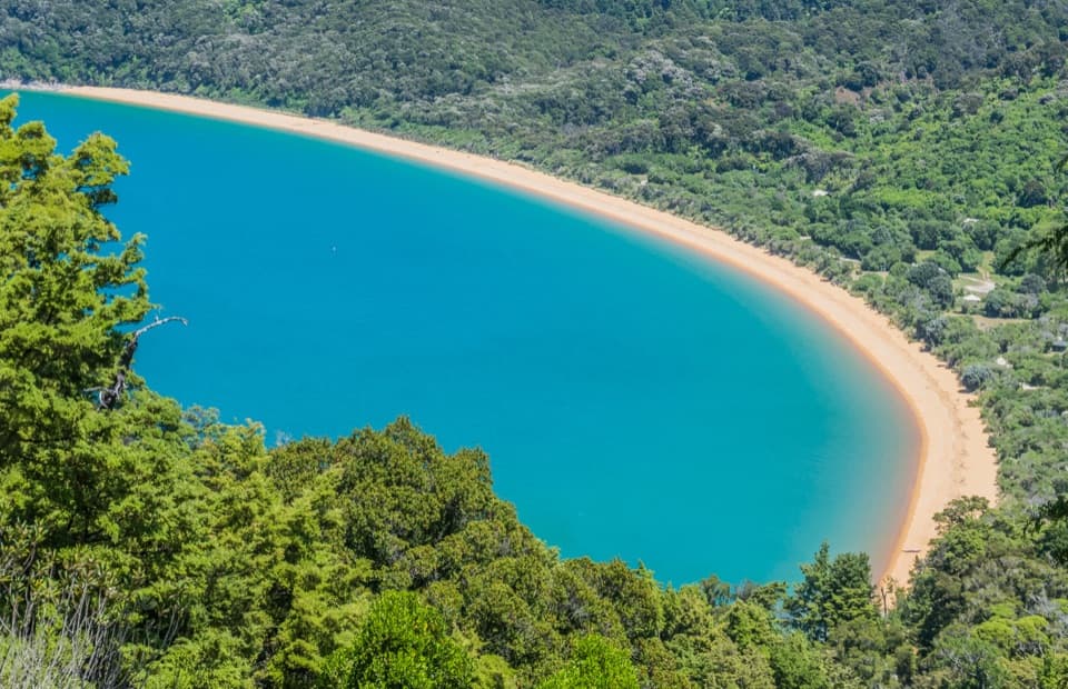 ModerateHeadlands Track3.8 km · 1.3 hr · 5.1 km awayA wooded headland walk with a pocket view of Tōtaranui and Awaroa.
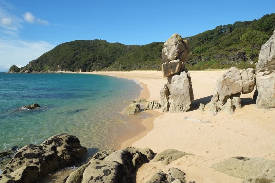 ModerateTōtaranui to Anapai Bay6.4 km · 2.5 hr · 5.5 km awayA low saddle leads to Anapai’s divided beach and granite stacks.
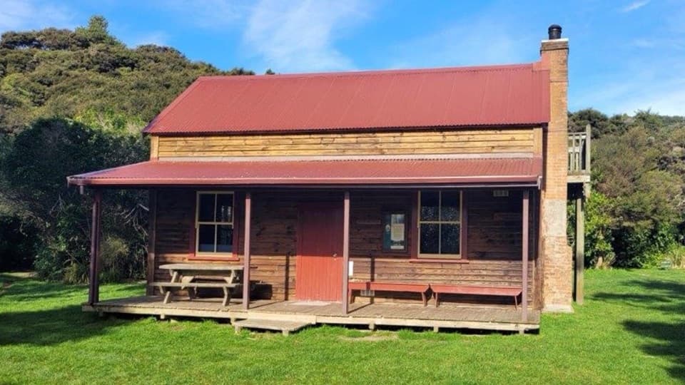 Lodging · 1.6 km awayWhariwharangi HutSleep in a restored farmhouse at the Coast Track's northern end.Campground · 1.6 km awayWhariwharangi BayA remote beach camp beside a restored coastal farmhouse.
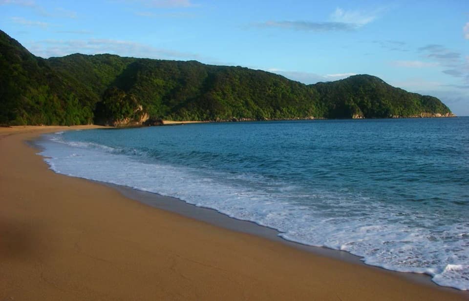 Campground · 3.2 km awayMutton CoveA quiet beachside campsite at Abel Tasman's remote northern end.
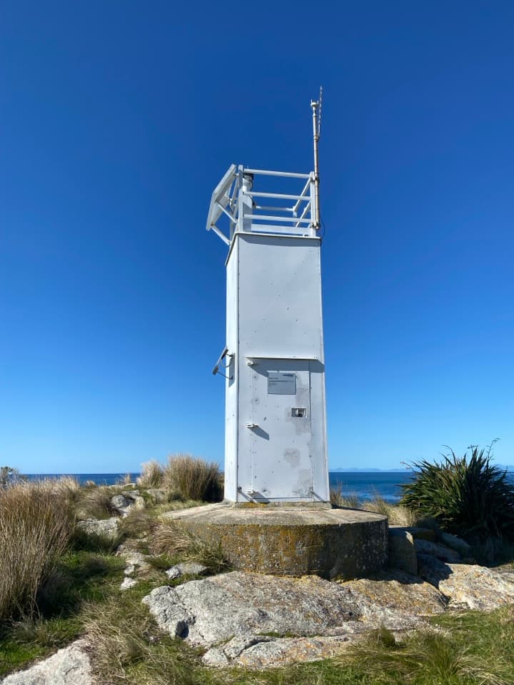 Sight · 3.7 km awaySeparation Point / Te MatauA long walk to a rugged headland above two bays.Beach · 4.3 km awayAnapai BayA northern beach with golden sand, stacked rocks and six tent sites.
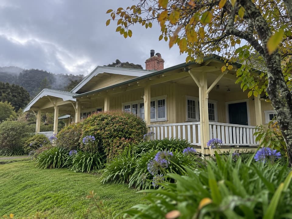 Lodging · 5 km awayNgarata HomesteadA 1914 homestead group stay for exploring Tōtaranui
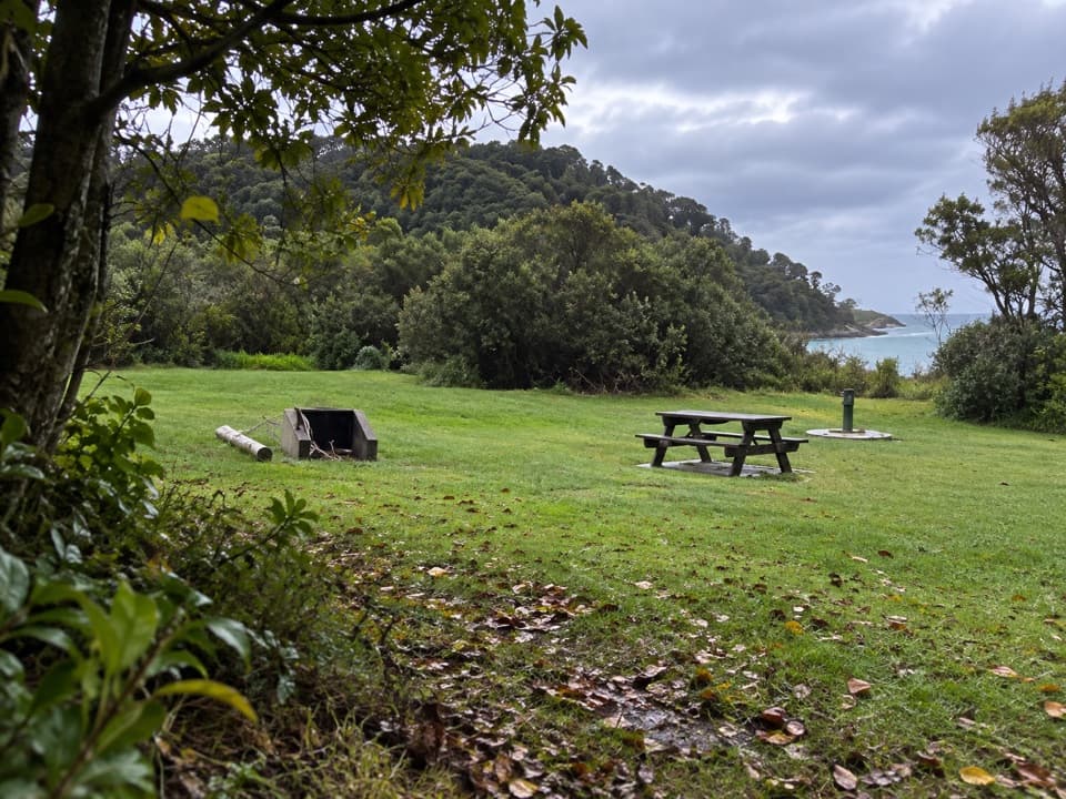 Campground · 5.4 km awayTōtaranui Great Walk CampsiteTwenty tent sites put you beside the beach on the Coast Track.
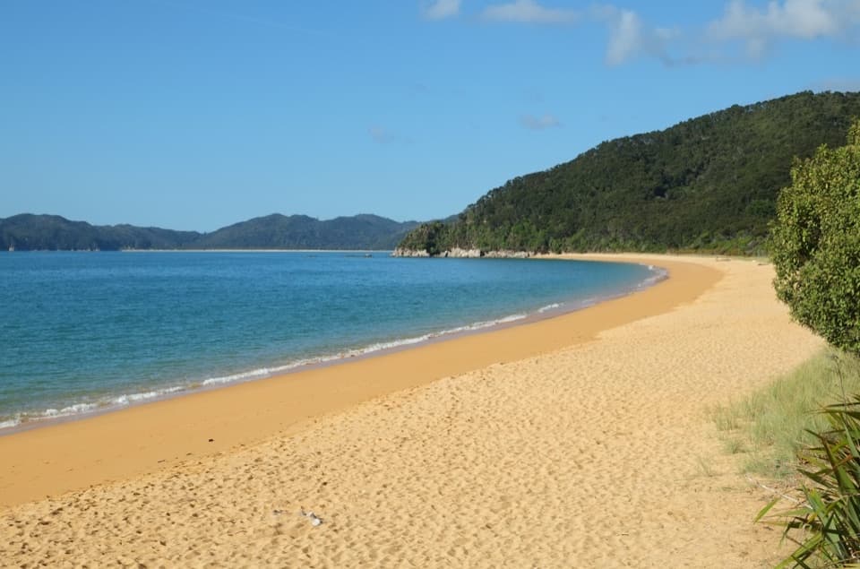 Campground · 5.5 km awayTōtaranui Beach and CampgroundA big campground by the beach, beyond a long gravel approach.
Parkwolf’s Abel Tasman ranking

The audio tour guide for the drive, plus offline maps, trails, and wildlife heatmaps for when the signal drops.