Parking
Use the Wainui Falls Track car park at Wainui Bay, accessed from Wainui Falls Road. The signpost is about 300 m after crossing Wainui River Bridge; the coast-side Wainui Bay car park on McShane Road is a different access.
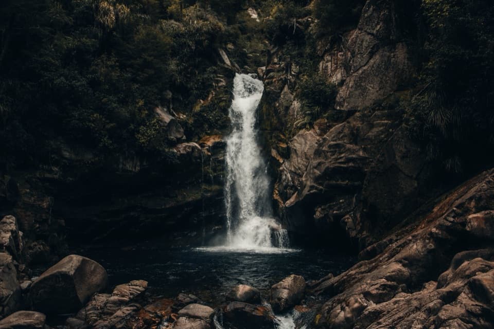
#4 of 43 trails in Abel Tasman
Abel Tasman National Park, TA
Granite boulders, a swing bridge and a waterfall for a short walk.
Overview
Map & elevation
Plan your hike

The highest, rockiest slopes around here are a summer buffet for grizzly bears.
Abel Tasman Tour Guide
Parkwolf is a GPS audio tour guide for Abel Tasman National Park. As you drive, it chimes in with what’s ahead: hidden gems, upcoming stops, history, geology, and wildlife, right through your car’s speakers.
Recorded for this trailhead
Wainui Falls“You're nearing the road access for Wainui Falls, a good choice for a short waterfall walk.”
Plays as you drive up to this trailhead in the Parkwolf Abel Tasman Tour Guide.
More stories near here in the app
“Fantastic app with many points of information… It’s great to just turn on while you’re driving and it gives you an audio tour of the national Park. We love it!!!!”


Trail guide
Wainui Falls Track is a 3.4 km (2.1 mi) return out-and-back from the Wainui Bay car park to a viewpoint on the falls. Allow one to one-and-a-half hours, including a pause by the river and at the end. It is graded easy to intermediate, but this is more than a flat stroll: the path climbs beside the water, narrows above steep ground, and finishes by wet, unguarded rock. Choose a dry spell. If you want a proper waterfall without giving up a day, this is a good short outing.
The marked path starts with a short walk across open farmland. An unbridged stream is crossed on stepping stones in normal flow, so expect that your feet may get wet. Heavy rain can make it impassable; wait until water levels have dropped and don’t force a crossing. The track then enters the forest and turns toward the Wainui River. This early crossing is the main condition check before you commit to the return walk.
For a while the route stays close to clear water, granite boulders and small cascades, with a little wooden bridge over one of them. Then the path begins to climb. The river drops farther below and parts of the track hug the hillside, making this feel more like a gorge walk than a park stroll. Footing can be uneven; steep drops beside the path are sometimes unfenced, and rockfall is a known hazard. Keep children close and take extra care when the ground is wet.
The track passes through forest of nīkau palms, rātā and ferns, with tree ferns and epiphytes along the climb. The river appears between trunks and boulders, then falls below the path as you gain height. Old logs can collect below the suspension bridge after major floods, a reminder of how forceful the river gets. Look for Powelliphanta, a giant native land snail among the world’s largest, and leave wildlife alone if you spot it.
The suspension bridge comes about 1.3 km into the walk. Stop to look down at the cascades and boulder-lined channel; the bridge is the best place for a wider river photo. After crossing, a gentle final climb of a few hundred metres leads to the falls. You’ll often hear the rushing water before the view opens.
The waterfall drops through a granite cleft into a pool, and the marked track ends at a viewpoint. The rocks around and below the stopping place are steep and slippery, there’s no barrier, and the water can run fast. Stay on the track instead of scrambling down to the pool. High river levels can also flood the lookout, so avoid the walk during or just after heavy rain.
Use the Wainui Falls Track car park at Wainui Bay; the signpost is about 300 m after crossing Wainui River Bridge. Summer can be busy, while autumn is usually quieter and still warm. Dogs aren’t allowed on the track. Allow time to stop at the bridge and waterfall rather than treating the posted one-hour estimate as a race.
Wildlife
 10 sightingsKeaMost seen around 10 AMSighting map
 54 sightingsNew Zealand Fur SealMost seen around 10 AMSighting map
 20 sightingsLittle PenguinMost seen around 9 PMSighting map
 21 sightingsSouth Island KākāMost seen around 5 PMSighting map
 526 sightingsWekaMost seen around 9 AMSighting map
 16 sightingsTūīMost seen around 7 AMSighting map
Sighting maps show where each species has been reported across Abel Tasman. Wildlife moves, so no sighting is guaranteed.
Keep exploring
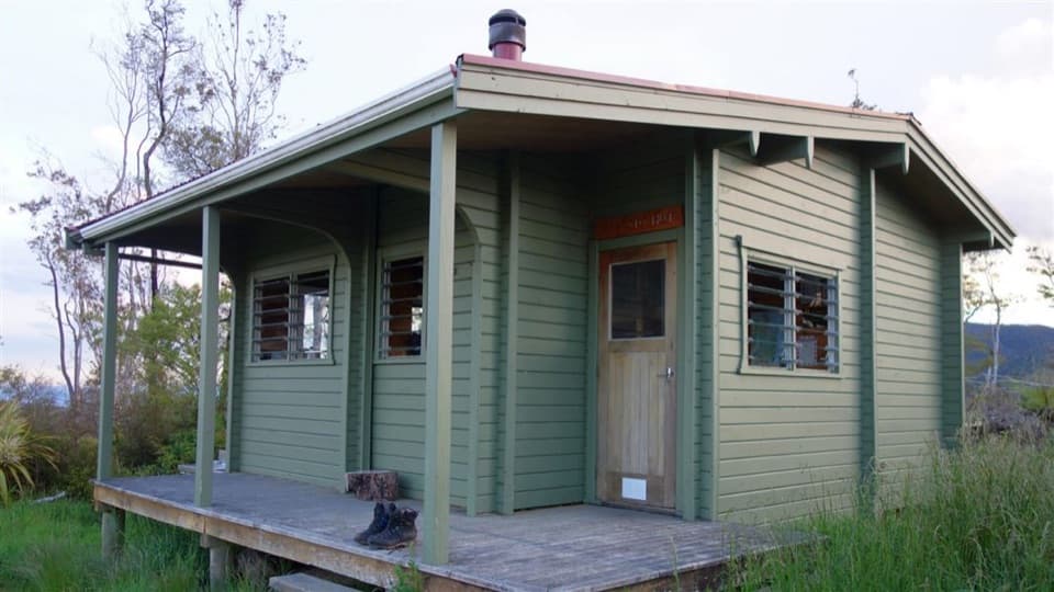 ChallengingPigeon Saddle to Awapoto Hut10 km · 6 hr · 2.5 km awayA steep forest climb to a hut above Awaroa Inlet.
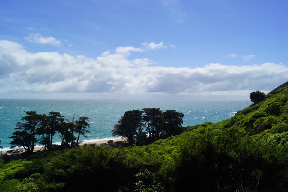 ModerateWainui to Whariwharangi Bay11.4 km · 4 hr · 3.5 km awayA saddle climb to a historic homestead beside a northern bay.
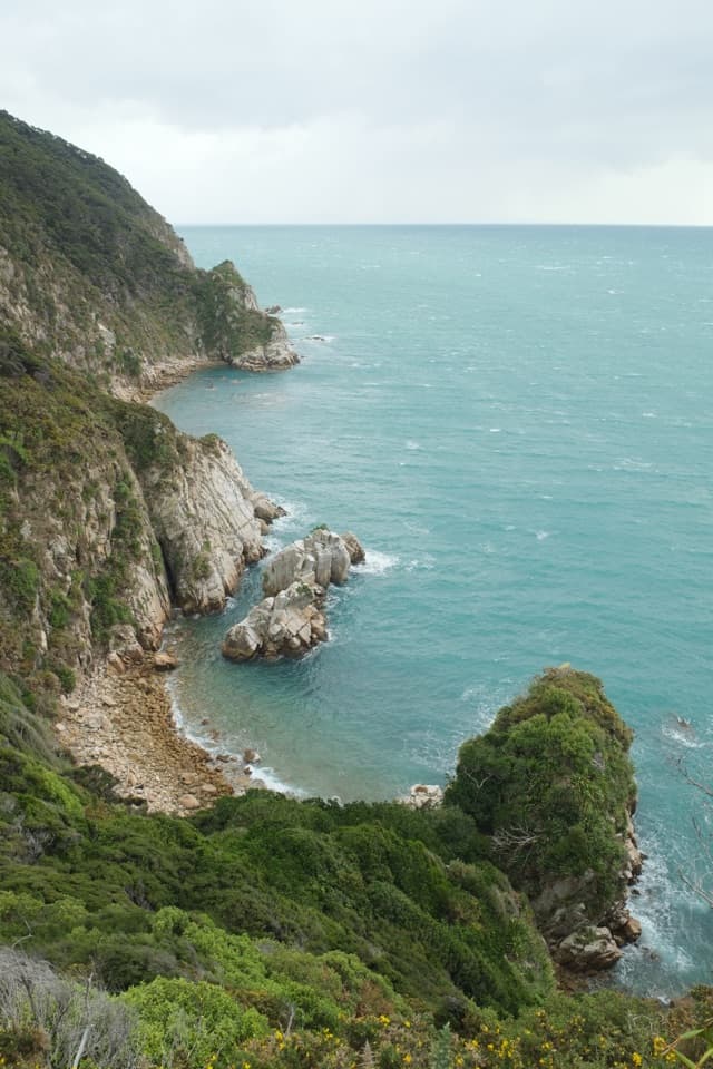 ModerateWainui to Separation Point17.8 km · 5 hr · 3.5 km awayReach the rocky divide between Golden Bay and Tasman Bay.
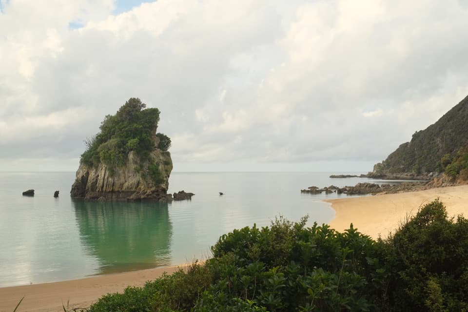 ModerateTaupō Point Track5 km · 2.5 hr · 3.5 km awayA tide-sensitive coast walk with Māori heritage and limestone stacks.
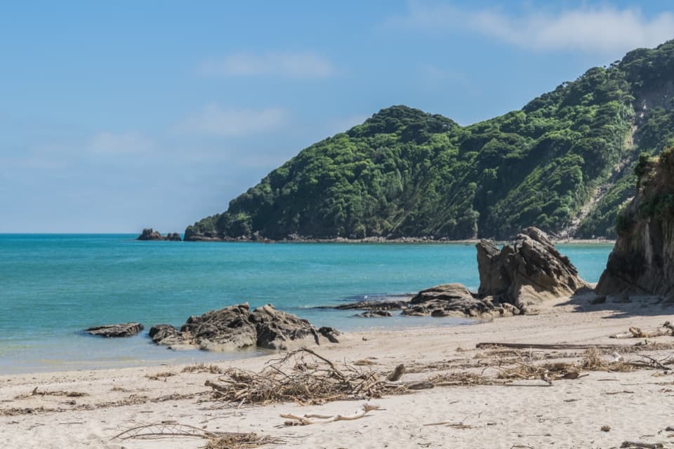 EasyWainui Bay Beach Walk2.3 km · 45 min · 3.5 km awayA short track opens onto an inlet-mouth beach.
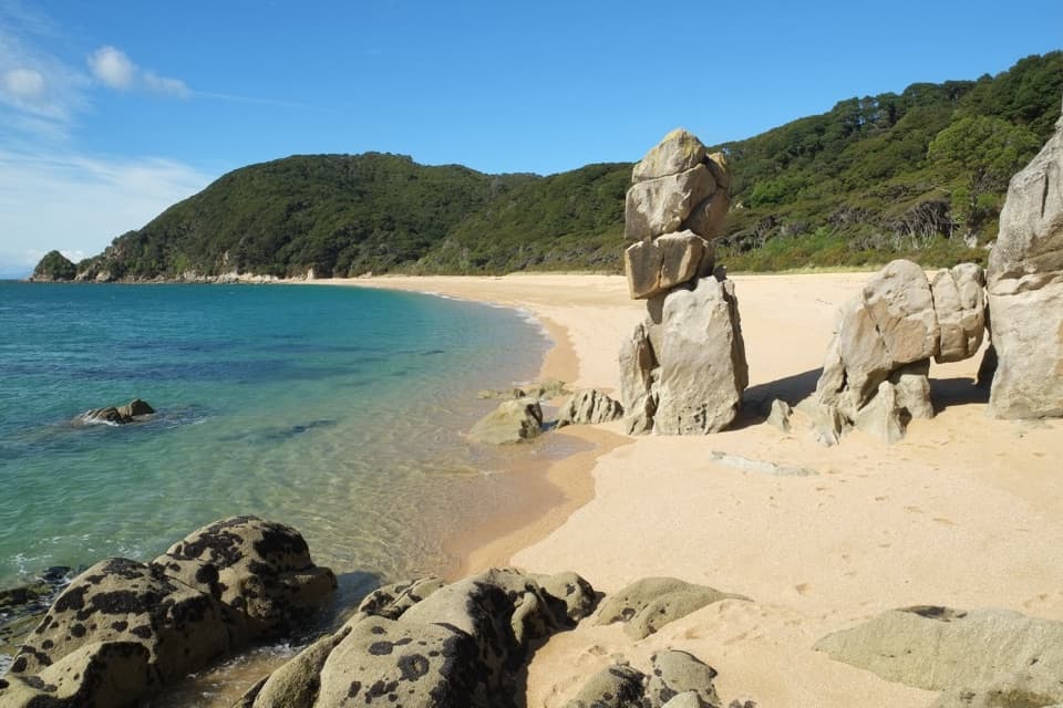 ModerateTōtaranui to Anapai Bay6.4 km · 2.5 hr · 5.7 km awayA low saddle leads to Anapai’s divided beach and granite stacks.
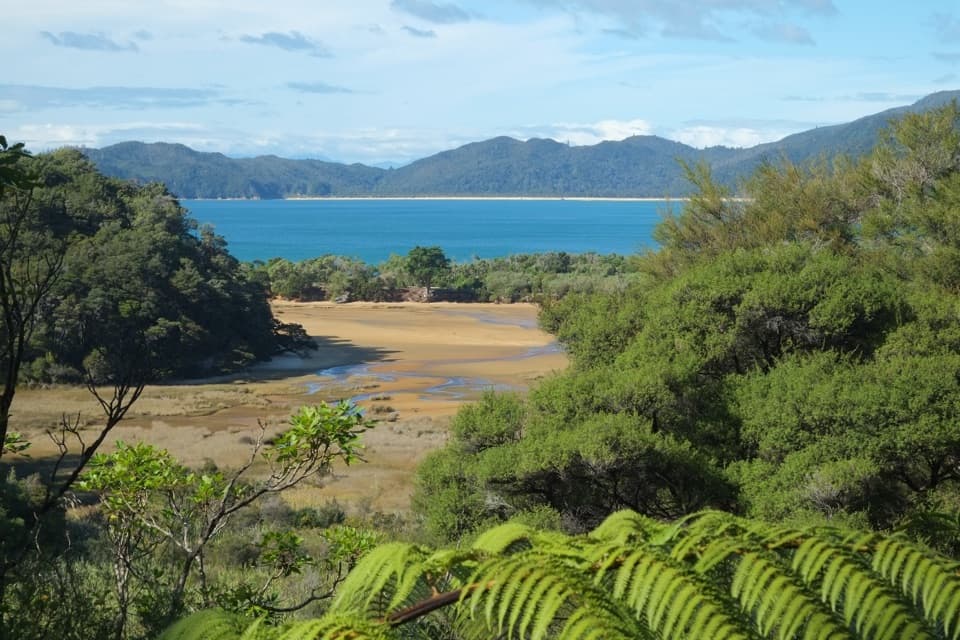 ChallengingGibbs Hill to Whariwharangi Bay Loop Track18.3 km · 5.5 hr · 5.7 km awayA steep ridge and a restored homestead reward the coastal loop.ModerateTōtaranui to Whariwharangi Bay9.8 km · 3.3 hr · 5.7 km awayBeach coves and kānuka headlands lead to a restored homestead.
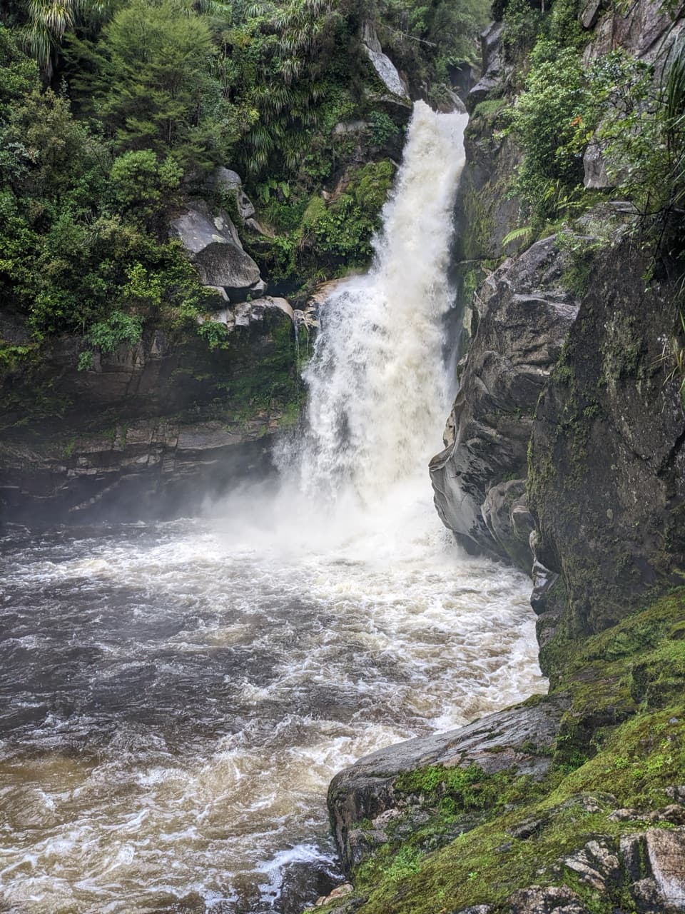 Sight · 1.6 km awayWainui FallsGranite, palms and a powerful waterfall reward the forest walk.Lodging · 2.7 km awayAwapoto HutA 12-bunk backcountry stop with an estuary view from the deck.
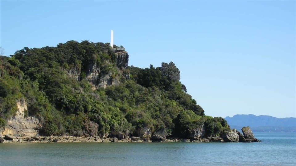 Sight · 3.7 km awayAbel Tasman National MonumentShort climb, wide views over Ligar Bay and the Tata Islands.
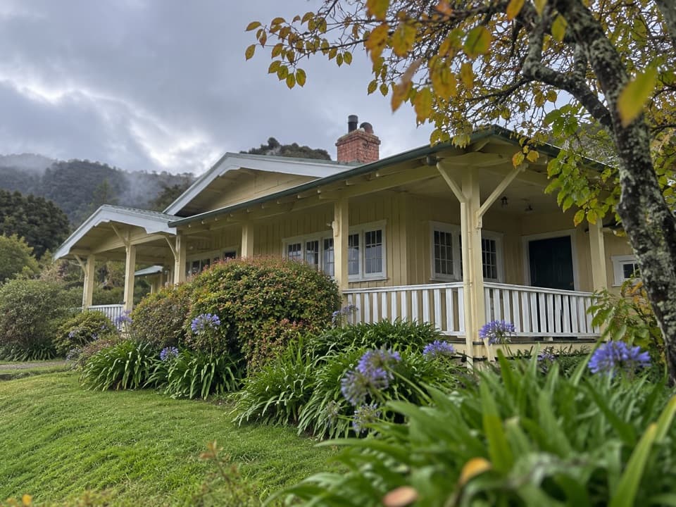 Lodging · 5.4 km awayNgarata HomesteadA 1914 homestead group stay for exploring Tōtaranui
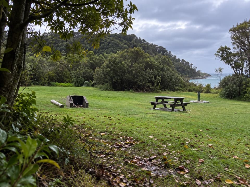 Campground · 5.5 km awayTōtaranui Great Walk CampsiteTwenty tent sites put you beside the beach on the Coast Track.Sight · 5.6 km awayTaupō PointA tide-dependent walk to a Māori pā on Wainui Inlet.
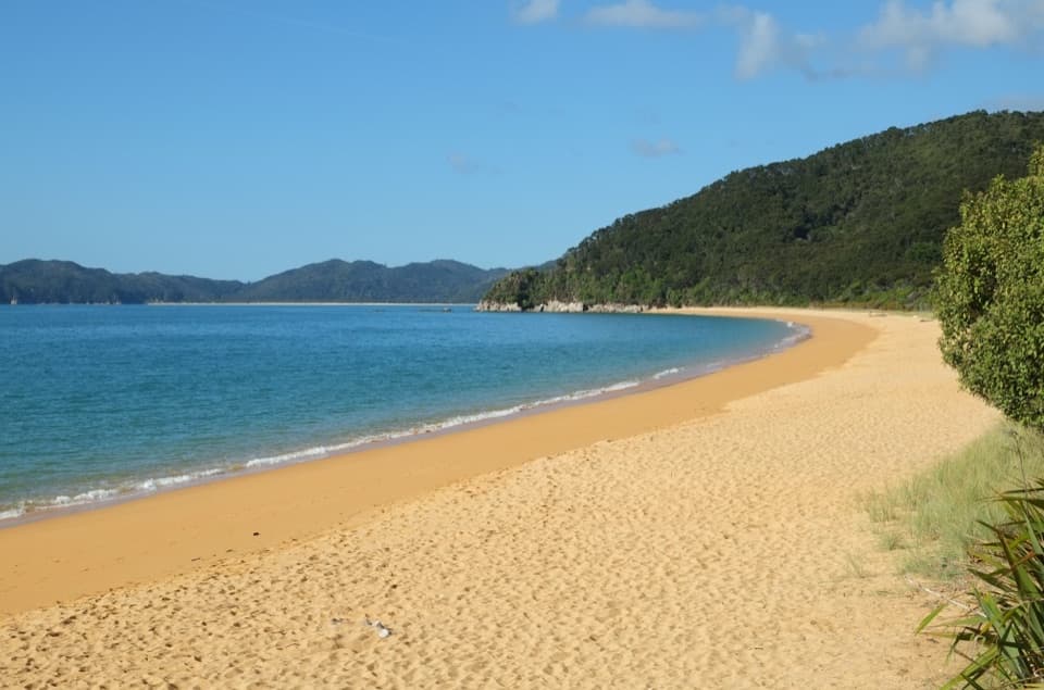 Campground · 5.7 km awayTōtaranui Beach and CampgroundA big campground by the beach, beyond a long gravel approach.
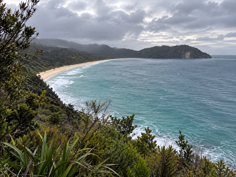 Sight · 5.9 km awaySkinner Point LookoutA high view takes in both Tōtaranui Beach and Goat Bay.
Parkwolf’s Abel Tasman ranking

The audio tour guide for the drive, plus offline maps, trails, and wildlife heatmaps for when the signal drops.