Parking
Take the passenger ferry from Stonington to Duck Harbor Boat Landing; walk less than 0.2 mile south on Western Head Road to the north trail junction. There is no vehicle access at the trailhead.
Acadia National Park, ME
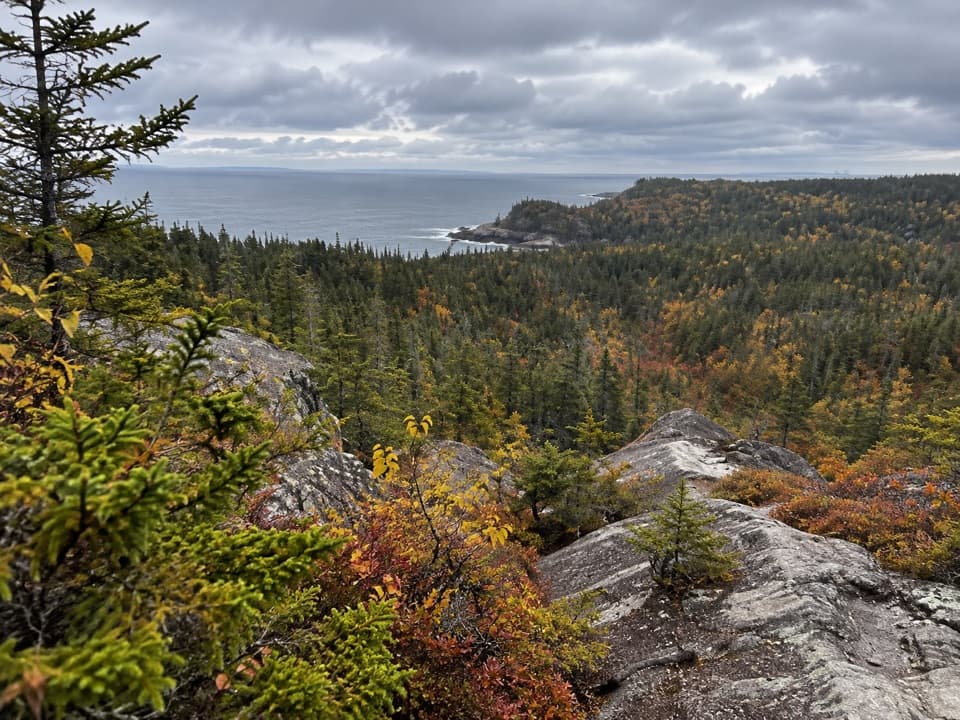
A steep rock climb to Duck Harbor views and a cove descent.
Overview
Map & elevation
Plan your hike

The highest, rockiest slopes around here are a summer buffet for grizzly bears.
Acadia Tour Guide
Parkwolf is a GPS audio tour guide for Acadia National Park. As you drive, it chimes in with what’s ahead: hidden gems, upcoming stops, history, geology, and wildlife, right through your car’s speakers.
See the Acadia audio tour“…As we drove through Acadia it gave us a tour, which was really cool. Lots of great info about the parks and how to avoid the crowds. It’s a great travel companion!”


Trail guide
Duck Harbor Mountain Trail is a 1.2-mile one-way route from Western Head Road over Duck Harbor Mountain to Squeaker Cove. It takes about 1.5 hours one way and is rated difficult. The climb is steep and broken by several ups and downs, with exposed rock and at least two short boulder scrambles where you use your hands. The early false summit has the open harbor view; the true summit is partly screened by trees. Do this for a rugged ridge and rocky cove, not an easy hilltop stroll. The route ends away from its start, so settle your return plan before leaving the road.
From Duck Harbor Boat Landing, walk less than 0.2 mile south on Western Head Road; the trail enters on the left, or east, side. The first stretch climbs beneath trees over roots and stones, then quickly opens onto steep bedrock. Blue blazes and cairns mark the bare rock where a dirt tread disappears. The first open knob looks back toward Duck Harbor, a good pause before the route starts rolling across higher rock. The grade is not a steady grind: it rises, dips, and rises again.
The early false summit is the better view stop, with more of Duck Harbor visible between the trees. The path drops after it and climbs again over a string of rocky high points. Look for the small Coast and Geodetic Survey marker at the true summit; trees partly screen the view there, so the highest point is not the best panorama. Knowing this helps when the trail keeps climbing after the first promising lookout.
South of the summit, the trail keeps changing elevation over rock and includes at least two short boulder scrambles that call for hands. It then drops between boulders into forest and ends at the Goat Trail junction at Squeaker Cove. The cove is a rocky shore with small stones and tide pools, not a sandy beach. A local hiking account links the name to stones squeaking as waves roll them; that is a reported explanation, not a documented origin.
The exposed bedrock belongs to Acadia's glacial landscape: continental ice polished rock and carved grooves, while the ocean continues to shape the shore. Red spruce and balsam fir dominate Isle au Haut's woods. Migrating warblers, shorebirds, and terns use the island, with May and August noted as strong birding periods; those are island-wide opportunities, not guaranteed sightings on this trail. In 1604 Samuel de Champlain named Isle au Haut, or High Island, while exploring the Maine coast. Shell heaps along the shore record Indigenous presence before his arrival. In 1943, descendants of the island's late nineteenth-century summer community donated land to the federal government; the park now manages about half the island, alongside private land and a year-round fishing community.
There is no road access to Isle au Haut. Passenger ferries from Stonington serve Duck Harbor Boat Landing from mid-June through late September; year-round service goes to Town Landing. Sailings are first-come, and visitor numbers to the park section are limited, so check the island access plan before you build a day around this hike. The Duck Harbor landing is less than 0.2 mile from the trailhead. Retracing the trail means 2.4 miles on the named path, plus the road approach; a published 2.9-mile circuit adds Goat Trail and Western Head Road, while a 4.2-mile version adds more coastal trail. Those longer figures describe different itineraries. There is no food on the route or at Duck Harbor; the small store and post office are near Town Landing. The campground map marks a composting toilet and drinking water near the landing, but confirm day-use access and availability before relying on them. Pets are allowed on Isle au Haut day hikes on a leash no longer than six feet, but not in Duck Harbor Campground.
Wildlife
 131 sightingsBald EagleMost seen around noonSighting map
 21 sightingsPeregrine FalconMost seen around 10 AMSighting map
 403 sightingsWhite-tailed DeerMost seen around 7 PMSighting map
 307 sightingsPorcupineMost seen around 7 PMSighting map
 205 sightingsBeaverMost seen around 7 PMSighting map
 34 sightingsMinkMost seen around 7 PMSighting map
Sighting maps show where each species has been reported across Acadia. Wildlife moves, so no sighting is guaranteed.
Keep exploring
 EasyWestern Head Road2.1 mi · 1.3 hr · 0.1 mi awayAn easy, mostly flat dirt-road walk on Isle au Haut.
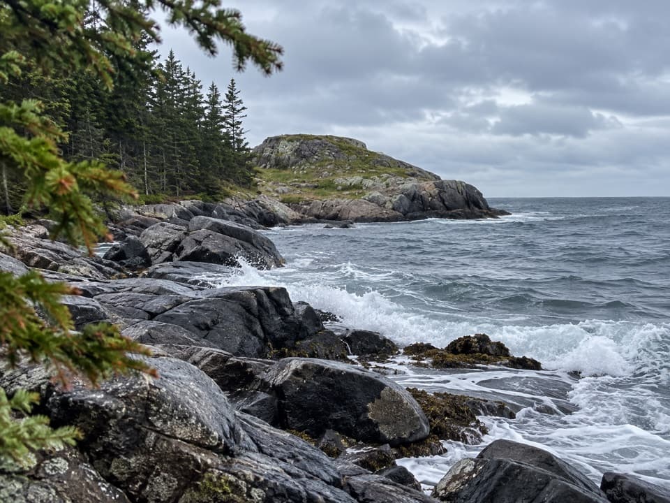 EasyEben’s Head Trail1.1 mi · 45 min · 0.6 mi awayA 1.1-mile shoreline loop over cobble beaches to a granite headland.
 ModerateCliff Trail0.8 mi · 45 min · 0.8 mi awayA rugged shore walk between granite ledges and Atlantic coves.
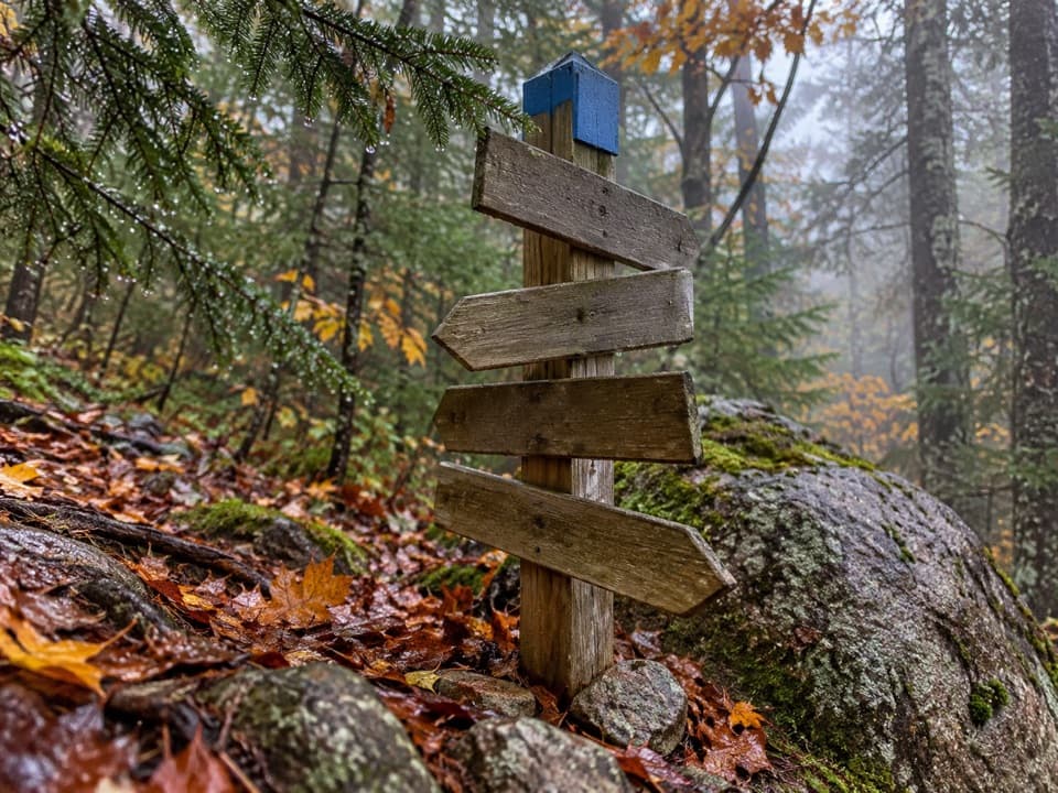 EasyMedian Ridge Trail1.8 mi · 1 hr · 0.9 mi awayPitch pine and bare rock give way to cooler island woods.
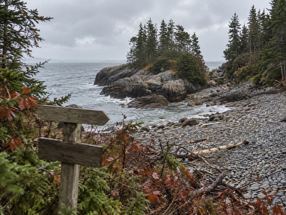 ModerateGoat Trail (Isle au Haut)2.1 mi · 1.5 hr · 1 mi awayA rough coastal traverse from Merchant Cove to Deep Cove.
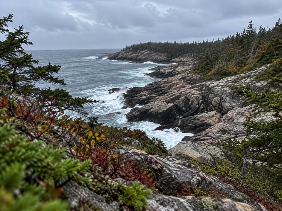 EasyDeep Cove Trail0.3 mi · 10 min · 1.1 mi awayA short spur to a rocky cove on Isle au Haut.
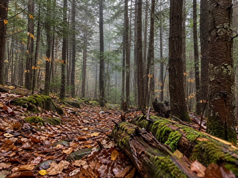 EasyNat Merchant Trail1.1 mi · 45 min · 1.2 mi awayA short inland crossing through a stretch of dark hemlocks.
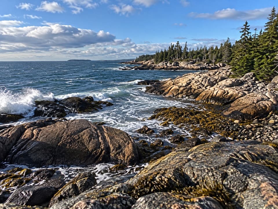 ModerateWestern Head Trail1.5 mi · 1.5 hr · 1.3 mi awayCobbled coves and granite make this short island leg feel wild.
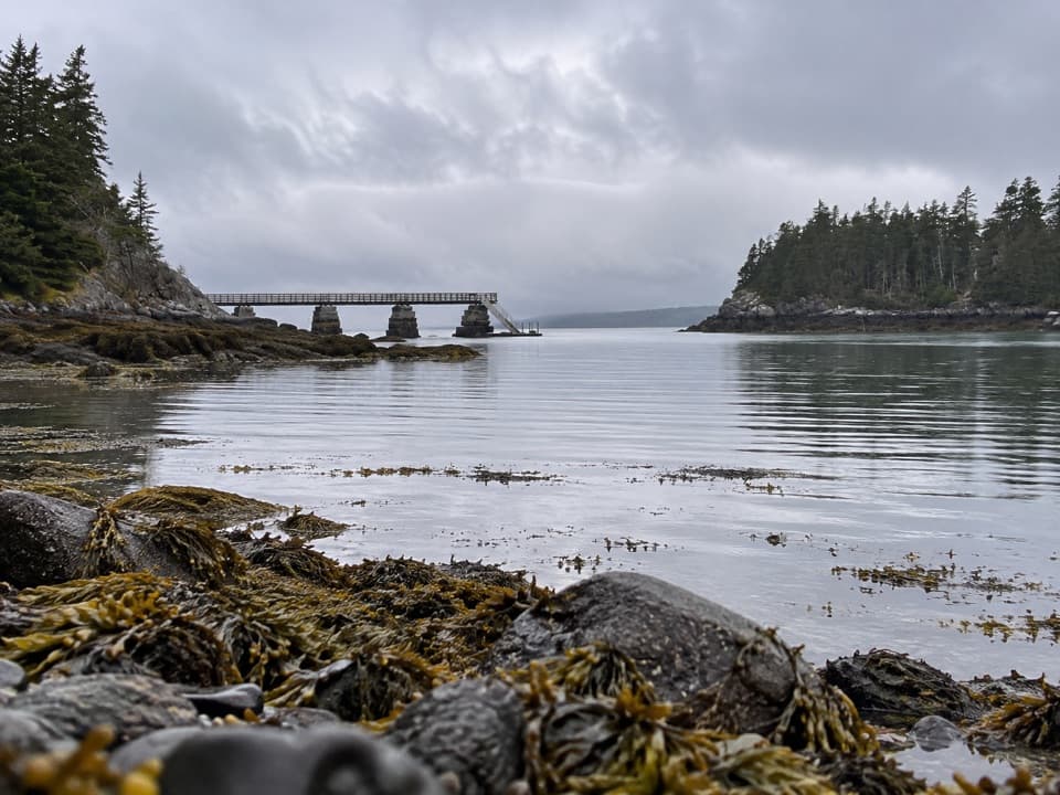 Campground · 0.1 mi awayDuck Harbor CampgroundFive backcountry lean-tos on an island reached by boat or trail.
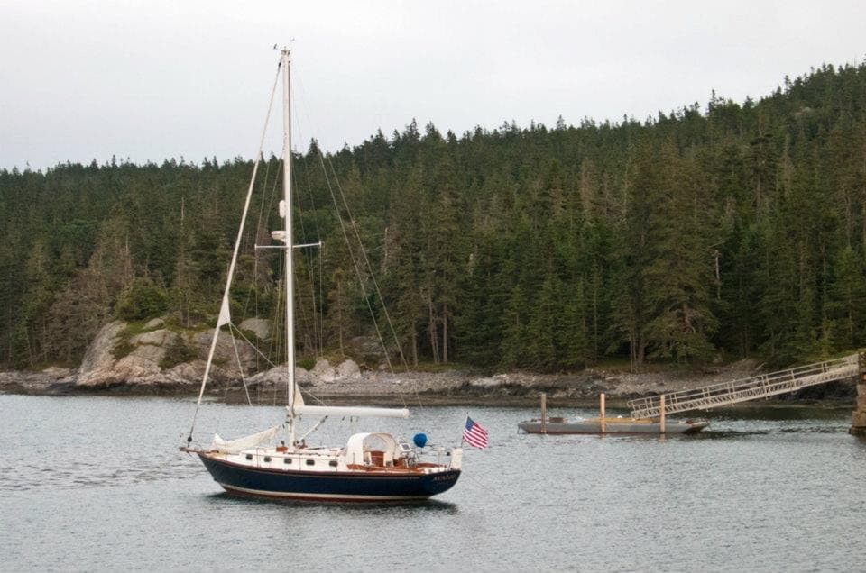 Sight · 0.2 mi awayDuck Harbor Boat LandingThe direct ferry stop for Isle au Haut’s Acadia trailheads.
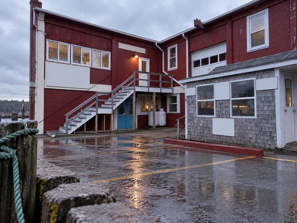 Sight · 8.8 mi awayIsle au Haut Boat Services — Stonington WharfA 45-minute boat ride turns the mainland into an island visit.
Parkwolf’s Acadia ranking

The audio tour guide for the drive, plus offline maps, trails, and wildlife heatmaps for when the signal drops.





