Parking
Roadside shoulder along ME Route 3 just past Blackwoods Campground; the trail entrance has no road sign. Parking is limited in summer, especially 9 a.m.–3 p.m.

#6 of 142 trails in Acadia
Acadia National Park, ME
A long forest climb opens onto a granite ridge above the ocean.
Overview
Cadillac Mountain South Ridge Trail is the long out-and-back climb from a roadside start on ME 3 to Cadillac’s summit, through forest, past a small pond, and up an exposed granite ridge. The mapped, maintained through line measures 3.89 miles to the summit; walking back over it makes about 7.8 miles round trip. A published round-trip figure says 7.1 miles, so the figures do not match. I’d plan for the longer mapped distance. Allow about 4–6 hours with stops. Do this one for a long, scenic climb and miles of open ridge; save it for another day if rough rock or exposure will spoil the hike.
 Parkwolf’s verdictIs this the half-day hike for you?
Map & elevation
Plan your hike

The highest, rockiest slopes around here are a summer buffet for grizzly bears.
Acadia Tour Guide
Parkwolf is a GPS audio tour guide for Acadia National Park. As you drive, it chimes in with what’s ahead: hidden gems, upcoming stops, history, geology, and wildlife, right through your car’s speakers.
Recorded for this trailhead
Cadillac Mountain’s South Ridge“You're approaching the Route Three access for Cadillac Mountain's South Ridge Trail, a long hike from forest onto open granite above the Atlantic.”
Plays as you drive up to this trailhead in the Parkwolf Acadia Tour Guide.
More stories near here in the app
“…As we drove through Acadia it gave us a tour, which was really cool. Lots of great info about the parks and how to avoid the crowds. It’s a great travel companion!”


Trail guide
The trail begins on the roadside shoulder just past Blackwoods Campground. There’s no road sign for the entrance, and parking is limited in summer, especially between 9 a.m. and 3 p.m. Don’t mistake the campground’s parking for a trailhead lot. The free Island Explorer serves Blackwoods from mid-June through October, which can help with access or a different descent; check its current schedule before you build the hike around a bus.
The first stretch is forested, with a steady grade that gets steeper as the path approaches the ridge. It’s a good contrast with what comes later, but don’t mistake the shaded start for an easy walk.
At Eagle’s Crag, a roughly 0.3-mile side loop leaves and rejoins the South Ridge. Take it for a rocky ledge above the forest, with the ocean farther out; it’s a worthwhile detour but isn’t included in the mapped through route or its distance. Back on the main trail, you reach the Featherbed, a small pond with a wooden bench. It’s a natural place to pause before the climb gets more rugged.
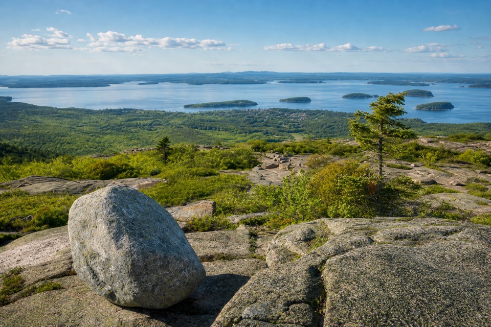
After the pond, the trail climbs steeply onto exposed granite. Above treeline, the path runs over open rock with Atlantic and island views; this is where the hike feels different from a standard wooded summit climb. The surface is rocky and uneven, so watch your footing, especially across the single iron rung on the route. The open ridge is also exposed to changing mountain weather, with little shade or shelter.
Near the top, the trail dips across an old road, then climbs again to the gravel summit access road. That last dip can feel like a false finish: there’s still an ascent before you reach the top.
The route arrives near the summit parking area, where road traffic and visitors make a sharp change from the quieter ridge. The true summit is beside the gravel access road. Look for two Coast and Geodetic Survey benchmarks established in 1856 and a 1954 USGS marker. One of Cadillac’s summit hotels stood east of the high point in the 1880s. On the open ridge, a little granite in the foreground helps show the scale of the slope and the islands beyond.
The standard trip retraces the South Ridge to the Route 3 shoulder, so save some energy for the climb and rough footing on the way down. If you’d rather descend a different trail, the shorter routes down North Ridge or Gorge Path can connect with the seasonal Island Explorer back to Blackwoods. That changes the hike’s finish and depends on bus service; it isn’t a loop returning directly to the South Ridge shoulder.
Dogs are allowed on this trail on a leash no longer than six feet. A park entrance pass is required year-round. There’s no separate activity fee or reservation listed for the hike.
Wildlife
 130 sightingsBald EagleMost seen around noonSighting map
 21 sightingsPeregrine FalconMost seen around 10 AMSighting map
 396 sightingsWhite-tailed DeerMost seen around 7 PMSighting map
 305 sightingsPorcupineMost seen around 7 PMSighting map
 201 sightingsBeaverMost seen around 7 PMSighting map
 34 sightingsMinkMost seen around 7 PMSighting map
Sighting maps show where each species has been reported across Acadia. Wildlife moves, so no sighting is guaranteed.
Keep exploring
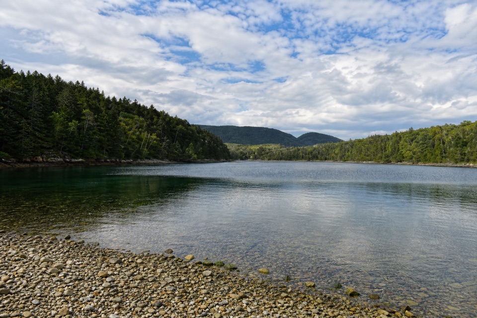 EasyQuarry Trail0.5 mi · 18 min · 0.4 mi awayA short wooded link from Blackwoods to Otter Cove’s tidal edge.
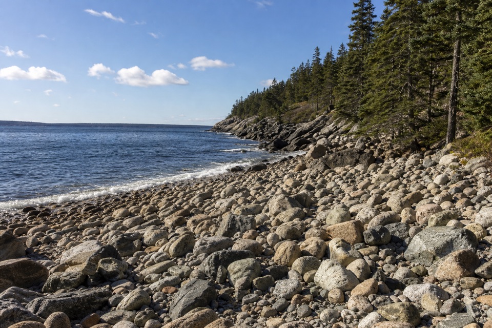 EasyHunters Beach Trail0.6 mi · 45 min · 0.7 mi awayA short woodland walk to a brook-cut cobble cove.
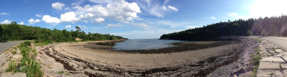 EasyOtter Cove Trail0.4 mi · 15 min · 0.9 mi awayA short cove link from the causeway to Otter Creek.
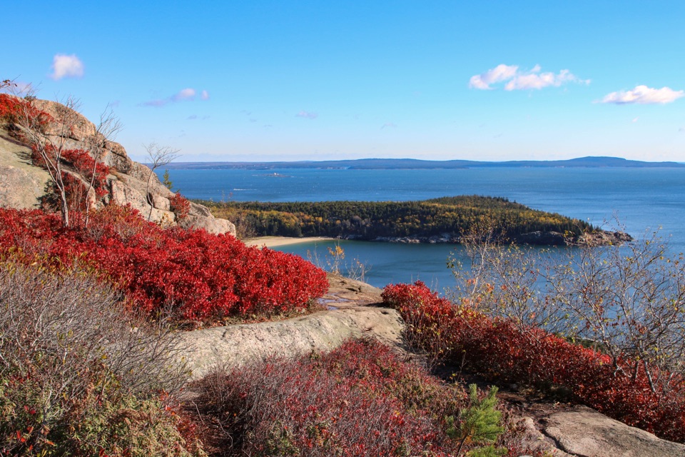 ModerateGorham Mountain Trail1.6 mi · 1.5 hr · 1.1 mi awayA short granite climb earns big ocean views from a real summit.
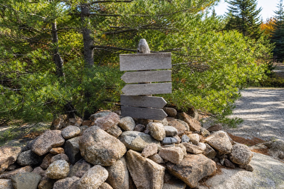 ModerateDay Mountain Trail1.6 mi · 1.5 hr · 1.1 mi awayBoardwalks and granite ledges lead to a summit above Seal Harbor.
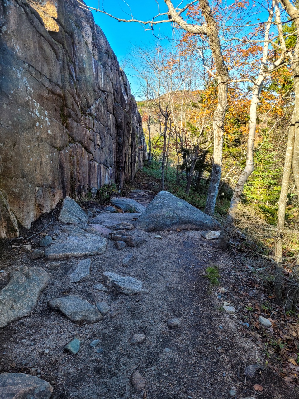 ModerateCadillac Cliffs Path0.3 mi · 21 min · 1.2 mi awayA quarter-mile of old stonework, sea cave, and steep granite steps.
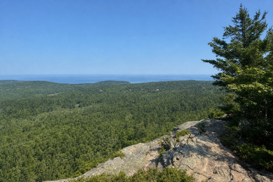 EasyEagle’s Crag Trail0.3 mi · 20 min · 1.4 mi awayA short granite detour with a view across Mount Desert Island.
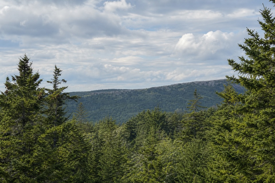 ModerateTriad Trail1 mi · 1 hr · 1.5 mi awayGranite footing, a wooded summit, and a century-old trail marker.
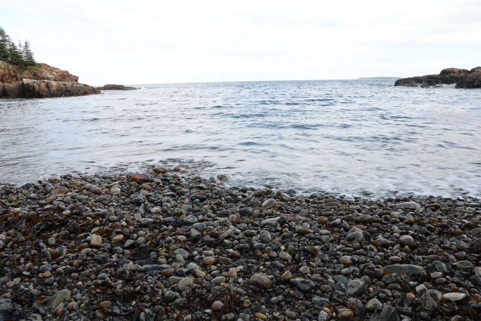 Beach · 0.5 mi awayLittle Hunters BeachHear the surf roll Acadia's rounded cobbles.
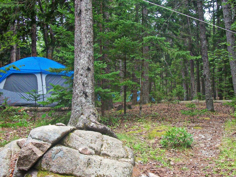 Campground · 0.6 mi awayBlackwoods CampgroundA wooded base with a short walk to the ocean.
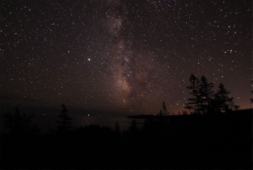 Sight · 0.7 mi awayOtter PointGo in May or September to watch songbirds move through.
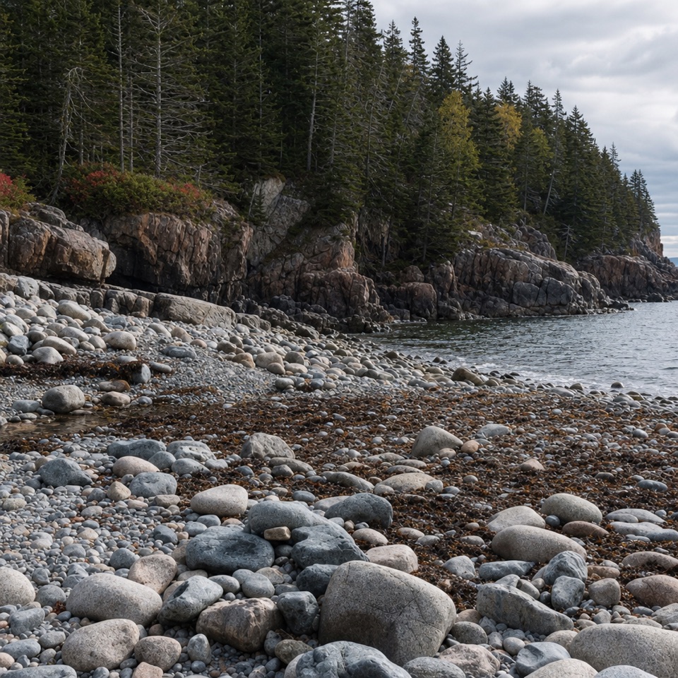 Beach · 0.7 mi awayHunters BeachA short woods walk ends where a brook cuts through the cobbles.
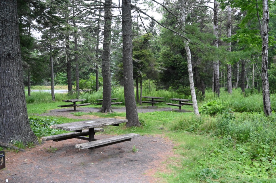 Picnic area · 0.9 mi awayFabbri Picnic Area and MemorialA quiet lunch stop with a small piece of Acadia’s radio history.
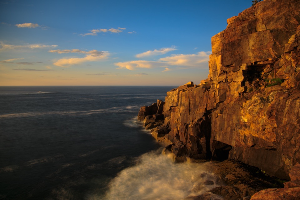 Sight · 0.9 mi awayOtter CliffPink granite cliffs with a wartime radio story above the Atlantic.
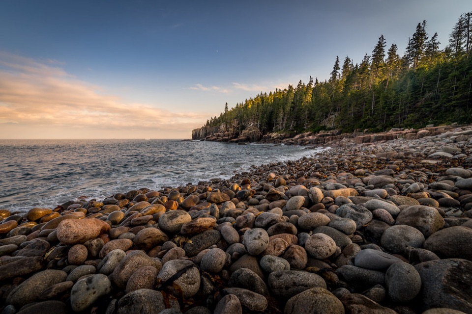 Beach · 1 mi awayBoulder BeachRounded stones catch sunrise light along this Ocean Path cove.
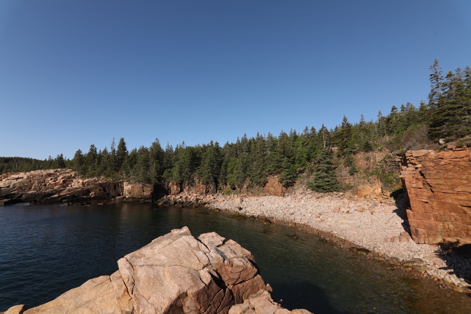 Sight · 1.2 mi awayMonument CoveA blocky pink-granite stack rising from a boulder-lined cove.
Parkwolf’s Acadia ranking
The audio tour guide for the drive, plus offline maps, trails, and wildlife heatmaps for when the signal drops.