Parking
Start at the Duck Harbor end of Western Head Road, a short walk from Duck Harbor Boat Landing. Reach the island by passenger ferry from Stonington; the Duck Harbor stop is seasonal.
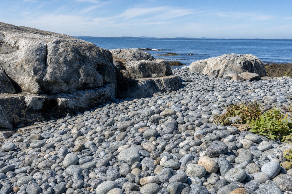
Acadia National Park, ME
An easy, mostly flat dirt-road walk on Isle au Haut.
Overview
Map & elevation
Plan your hike

The highest, rockiest slopes around here are a summer buffet for grizzly bears.
Acadia Tour Guide
Parkwolf is a GPS audio tour guide for Acadia National Park. As you drive, it chimes in with what’s ahead: hidden gems, upcoming stops, history, geology, and wildlife, right through your car’s speakers.
“…As we drove through Acadia it gave us a tour, which was really cool. Lots of great info about the parks and how to avoid the crowds. It’s a great travel companion!”


Trail guide
Western Head Road is a wide, fairly level dirt road on Isle au Haut. Walk the full mapped road out and back from the Duck Harbor end for about 2.1 miles total; the road itself is about 1.06 miles each way. Allow about 1¼ hours with stops. You may see a 1.7-mile figure for this walk, but it does not identify the endpoints or say whether it is one way or round trip. This route follows the full named road; leave the separate Western Head Trail out unless you want a longer, rougher hike.
The broad dirt surface is fairly flat, making this a gentler choice than Isle au Haut’s rocky coastal trails and steep summit walks. You retrace the same road to get back. For a more rugged shoreline outing, the separate Western Head Trail is listed as 1.3 miles and moderate; it is a different route, not an extension hidden in this distance.
Start at the Duck Harbor end of Western Head Road, a short walk from Duck Harbor Boat Landing. The island is reached by passenger ferry from Stonington. The ferry serves Town Landing year-round but stops at Duck Harbor only from mid-June through late September, and service is first come, first served. Check that your sailing reaches Duck Harbor before planning this as a day walk. Dogs are allowed, but must stay on a leash no longer than six feet.
Wildlife
 130 sightingsBald EagleMost seen around noonSighting map
 21 sightingsPeregrine FalconMost seen around 10 AMSighting map
 396 sightingsWhite-tailed DeerMost seen around 7 PMSighting map
 305 sightingsPorcupineMost seen around 7 PMSighting map
 201 sightingsBeaverMost seen around 7 PMSighting map
 34 sightingsMinkMost seen around 7 PMSighting map
Sighting maps show where each species has been reported across Acadia. Wildlife moves, so no sighting is guaranteed.
Keep exploring
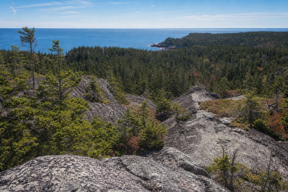 ChallengingDuck Harbor Mountain Trail1.2 mi · 1.5 hr · 0.1 mi awayA steep rock climb to Duck Harbor views and a cove descent.
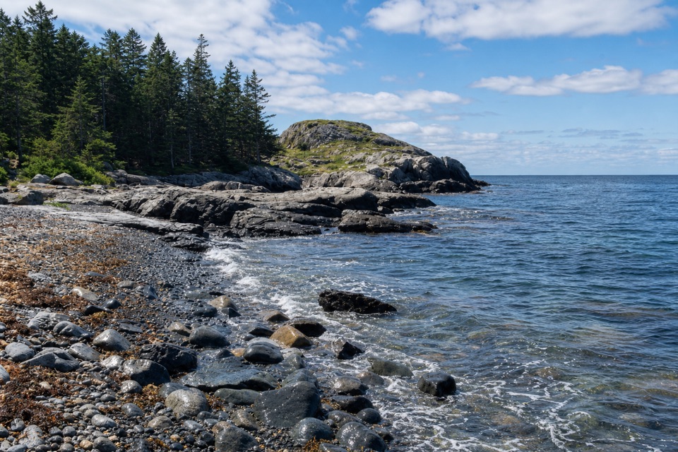 EasyEben’s Head Trail1.1 mi · 45 min · 0.6 mi awayA 1.1-mile shoreline loop over cobble beaches to a granite headland.
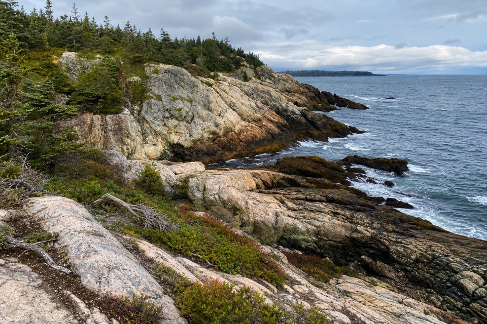 ModerateCliff Trail0.8 mi · 45 min · 0.9 mi awayA rugged shore walk between granite ledges and Atlantic coves.
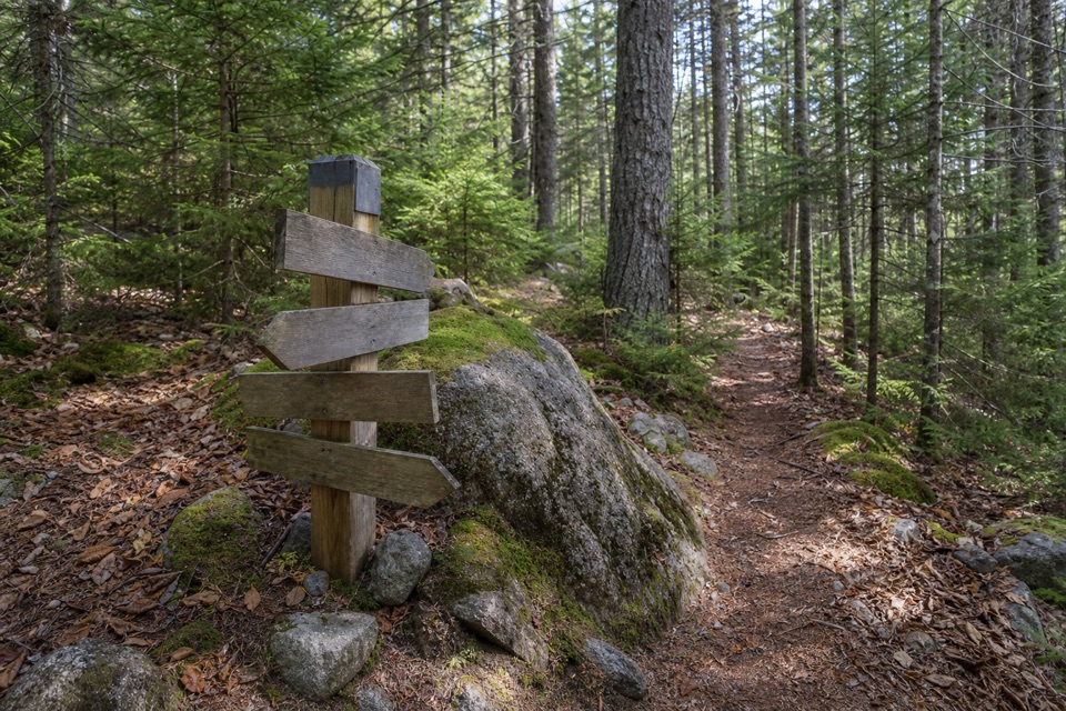 EasyMedian Ridge Trail1.8 mi · 1 hr · 1 mi awayPitch pine and bare rock give way to cooler island woods.
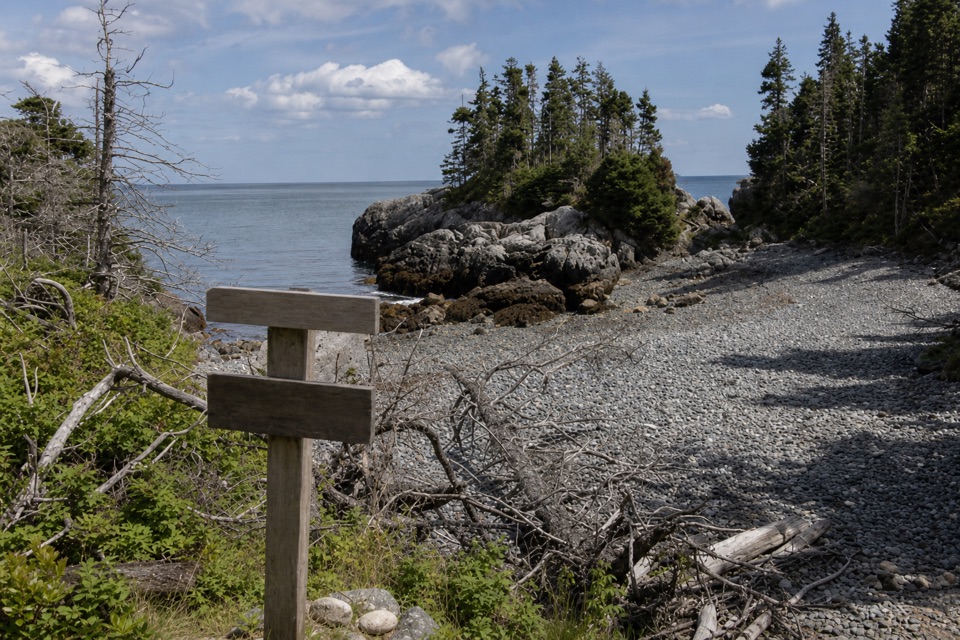 ModerateGoat Trail (Isle au Haut)2.1 mi · 1.5 hr · 1 mi awayA rough coastal traverse from Merchant Cove to Deep Cove.
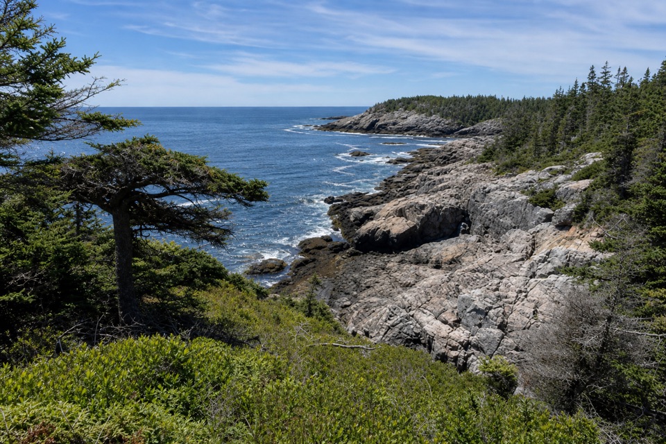 EasyDeep Cove Trail0.3 mi · 10 min · 1.1 mi awayA short spur to a rocky cove on Isle au Haut.
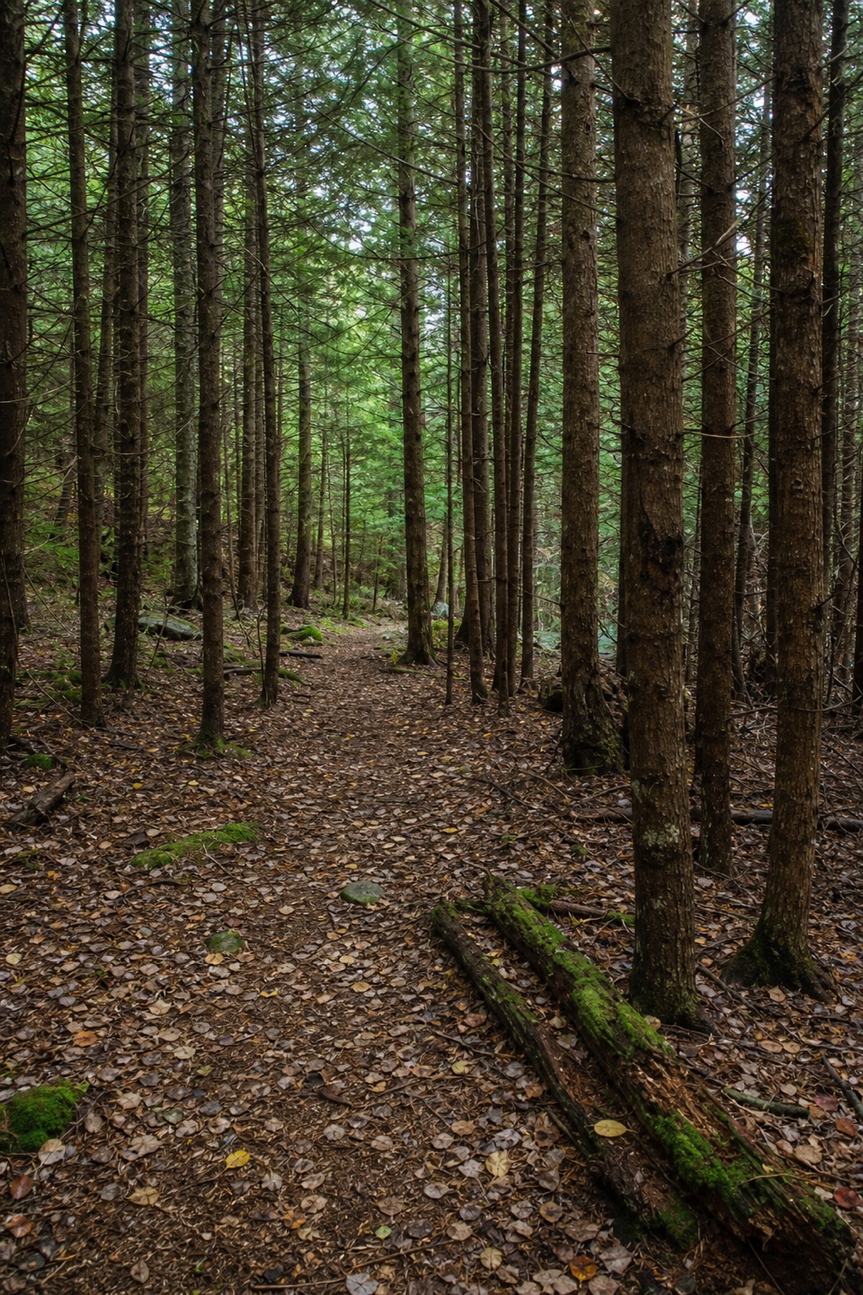 EasyNat Merchant Trail1.1 mi · 45 min · 1.2 mi awayA short inland crossing through a stretch of dark hemlocks.
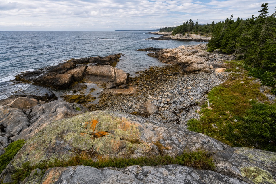 ModerateWestern Head Trail1.5 mi · 1.5 hr · 1.4 mi awayCobbled coves and granite make this short island leg feel wild.
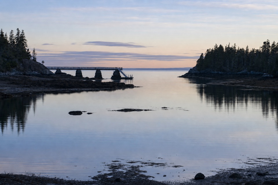 Campground · 0.1 mi awayDuck Harbor CampgroundFive backcountry lean-tos on an island reached by boat or trail.
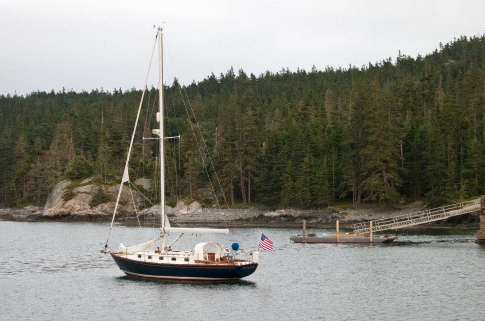 Sight · 0.1 mi awayDuck Harbor Boat LandingThe direct ferry stop for Isle au Haut’s Acadia trailheads.
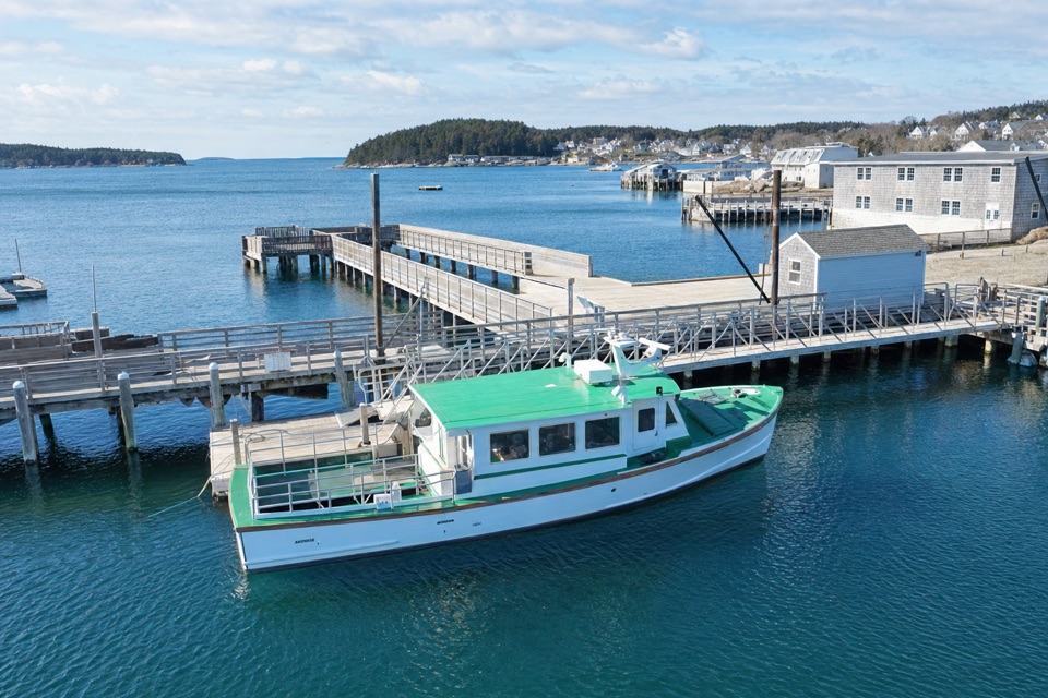 Sight · 8.8 mi awayIsle au Haut Boat Services — Stonington WharfA 45-minute boat ride turns the mainland into an island visit.
Parkwolf’s Acadia ranking

The audio tour guide for the drive, plus offline maps, trails, and wildlife heatmaps for when the signal drops.





