Beehive Loop Trail in Acadia National Park

#1 of 142 trails in Acadia

Acadia National Park, ME

Beehive Loop Trail

Climb iron rungs above Sand Beach, then loop past the Bowl.

Photo: Wikimedia Commons
Length
1.4mi
Time
2hr
Elev. change
397ft
Difficulty
Challenging
  • Loop
  • No dogs
  • High point 512 ft

Hear the audio tour

The Beehive’s Rung Climb

Overview

About Beehive Loop Trail

Why go

  • Iron rungs and ladders make the short climb unusually hands-on.
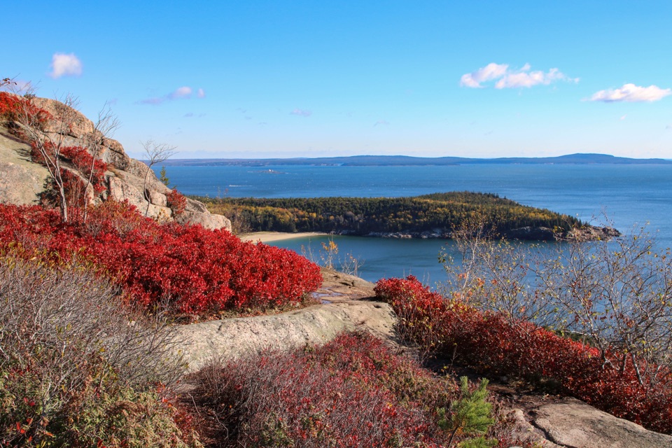
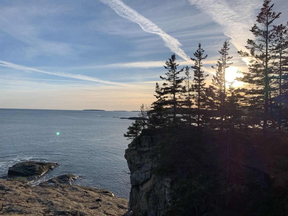
  • The summit opens over Sand Beach and the Gulf of Maine.

Heads up

  • Unprotected ledges make this a poor fit for anyone uneasy with heights.
  • Wet granite is dangerously slick, and queues can slow the rungs.

Map & elevation

The route

Loading the Acadia map
Full map
Elevation115–512 ft
TrailheadBeehive Trailhead across from Sand Beach44.33157, -68.18532
Keep this map with you offline in the Parkwolf app

Plan your hike

Before you go

Parking

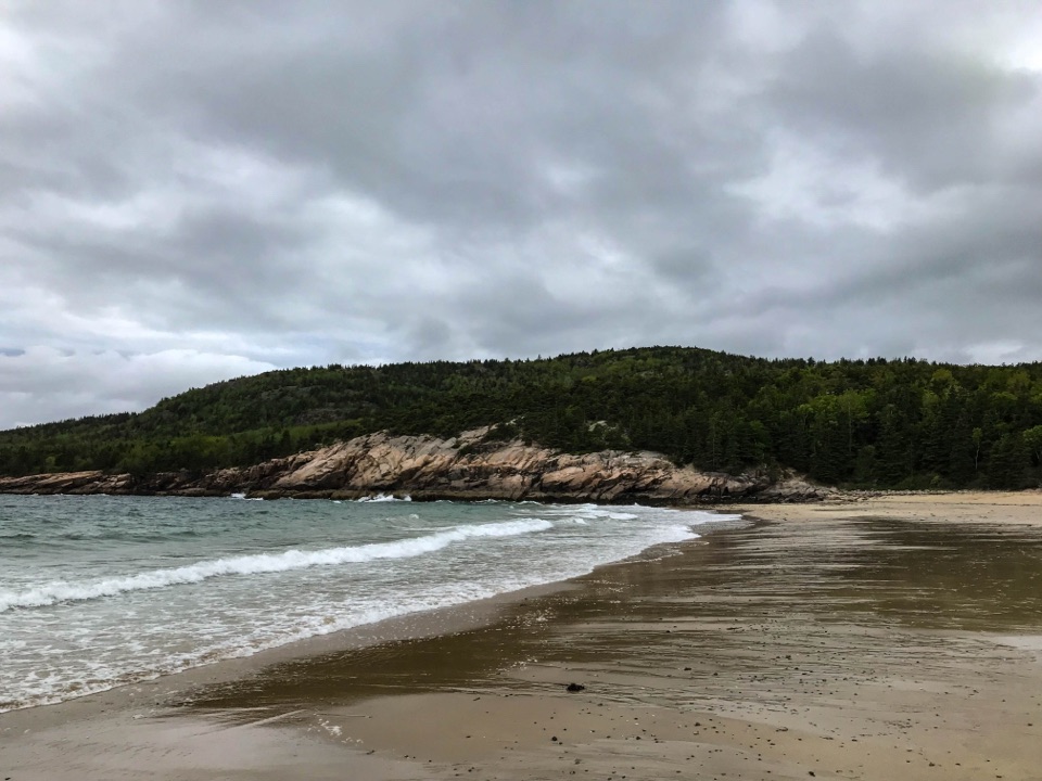
Start at the Beehive trailhead across Park Loop Road from Sand Beach. Use the Sand Beach lot or the road parking lane after the entrance station, then cross at the marked crosswalk. Summer spaces are limited; Park Loop Road typically closes mid-December to mid-April.

Safety

The route climbs exposed granite with unrailed drops, iron rungs, ladders and an iron-bar crossing. Wet granite becomes extremely slippery in rain; avoid the climb in wet conditions and descend by the Bowl route instead of retracing the rungs. Dogs are prohibited on rung-and-ladder trails; the trail is not accessible.

4 active Acadia alerts

  • CautionAvoid water contact at Sand Beach LagoonDo not swim at Sand Beach Lagoon. - Bacterial levels have exceeded public-health standards, so the NPS has posted a Public Health Advisory.Official details
  • ClosureSchoodic Mountain Road closed for repairsSchoodic Mountain Road is closed from Schoodic Loop Road to the summit of Schoodic Head. - The closure began August 31 for resurfacing, regrading, and ditching.Official details
See all 4 alerts
A park ranger sits on a dash-mounted phone, talking, as Parkwolf’s Tour Guide plays “Army Cutworm Moths: A Grizzly Bear Buffet” on Grand Loop Road below Dunraven Pass in Yellowstone
Parkwolf Tour GuideThe highest, rockiest slopes around here are a summer buffet for grizzly bears.

Acadia Tour Guide

Your drive to Beehive Loop Trail, narrated.

Parkwolf is a GPS audio tour guide for Acadia National Park. As you drive, it chimes in with what’s ahead: hidden gems, upcoming stops, history, geology, and wildlife, right through your car’s speakers.

Recorded for this trailhead

The Beehive’s Rung Climb
0:00 / 0:30
“The Beehive trailhead is coming up, for an iron-rung climb to views over Sand Beach and the sea. The one point four mile loop takes about two hours, with scrambling and steep drops without railings.”

Plays as you drive up to this trailhead in the Parkwolf Acadia Tour Guide.

More stories near here in the app

  • Sand Beach’s Shell-Rich Shore
  • Schooner Head Overlook and the Shore Below
  • Keeping the Alewife's Route Open
  • Thunder Hole’s Unpredictable Boom
  • 116 audio storiesacross Acadia’s roads, triggered by GPS as you drive
  • Wildlife heatmapsfor Bald Eagle, Peregrine Falcon, White-tailed Deer, and 13 more
  • Works offlinemaps, 142 trails, 72 places, and audio download before you lose signal
  • CarPlay readysimple controls built for the drive
★★★★★
“…As we drove through Acadia it gave us a tour, which was really cool. Lots of great info about the parks and how to avoid the crowds. It’s a great travel companion!”
MyMysteryChicaApp Store review
Download Parkwolf on the App StoreGet Parkwolf on Google Play

4.7 from 8,600+ ratings

Trail guide

Hiking Beehive Loop Trail

The loop and the climbThe Beehive Loop is a 1.

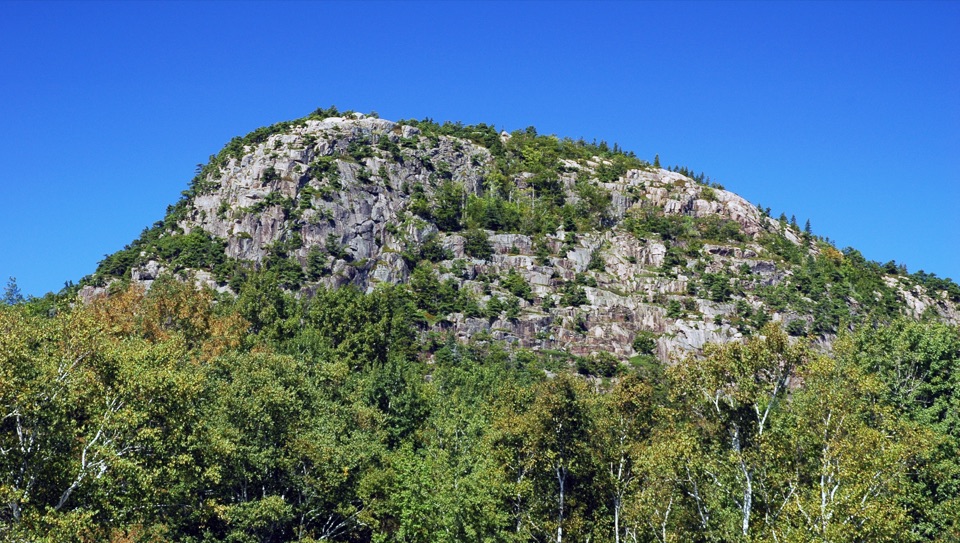
The Beehive Loop is a 1.4-mile loop from the Beehive trailhead across Park Loop Road from Sand Beach. Allow about two hours; the park gives a one-to-three-hour range depending on pace and stops. The full walk follows a 0.2-mile approach on Bowl Trail, climbs the Beehive, descends past Bowl pond, then retraces that short approach to the road. The climb uses granite stairs, scrambling, iron rungs and exposed ledges up a 450-foot cliff. It is short but hard, and suits hikers who are comfortable with heights. I’d choose it for the hands-on climb and open coast views; skip it if exposed drops make you freeze. Continue around the back rather than climbing down the rungs.


The approach and the rungsStart on Bowl Trail by the crosswalk across from Sand Beach. The first 0.

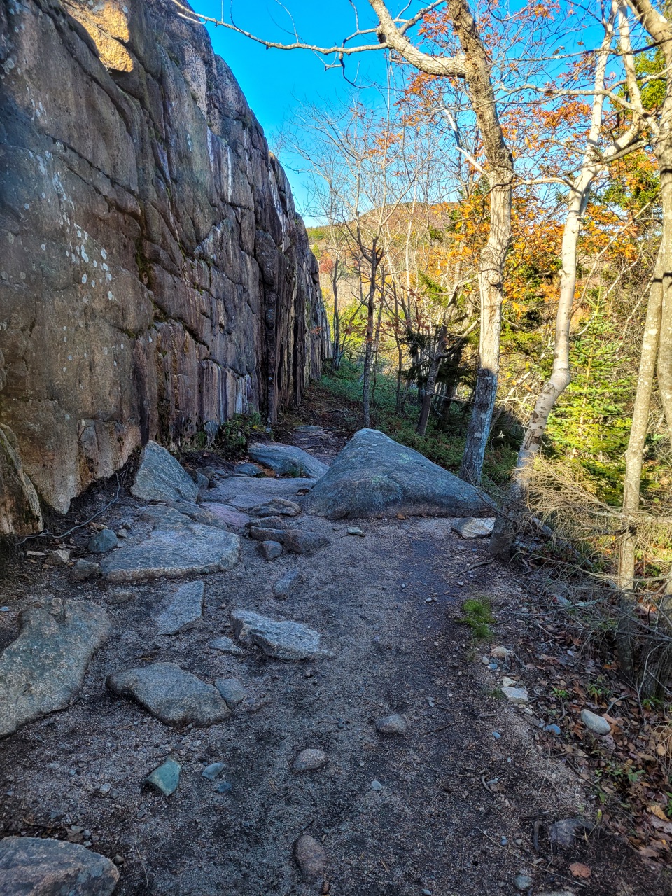
Start on Bowl Trail by the crosswalk across from Sand Beach. The first 0.2 mile follows a creek bed to the Beehive junction, with loose rock and uneven footing. The roughly 0.6-mile Beehive ascent steepens over granite stairs and scrambles. Iron rungs help over the harder ledges, but they don't make this an ordinary stair climb: halfway up, you cross a section of iron bars instead of solid ground, then use ladders and reach-up rungs to get over small ledges. The drop-offs have no railings. Coastline views begin to open above the trees. On busy days, traffic bunches at the narrow climbing sections, so an early start can mean less waiting.

The summitAfter cresting the cliff, there is about 200 feet of uneven walking to the 520-foot summit.

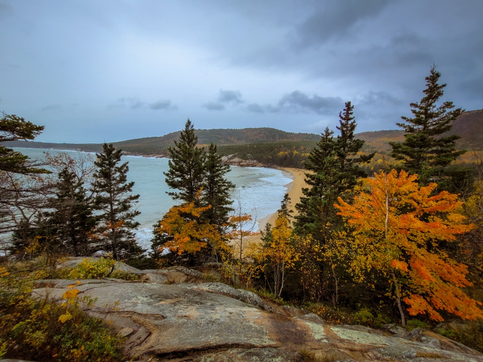
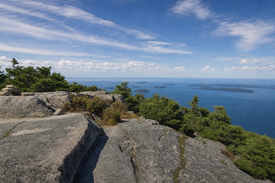
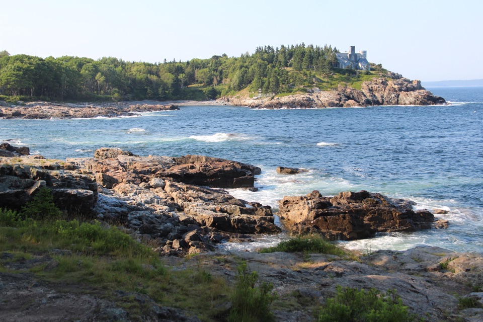
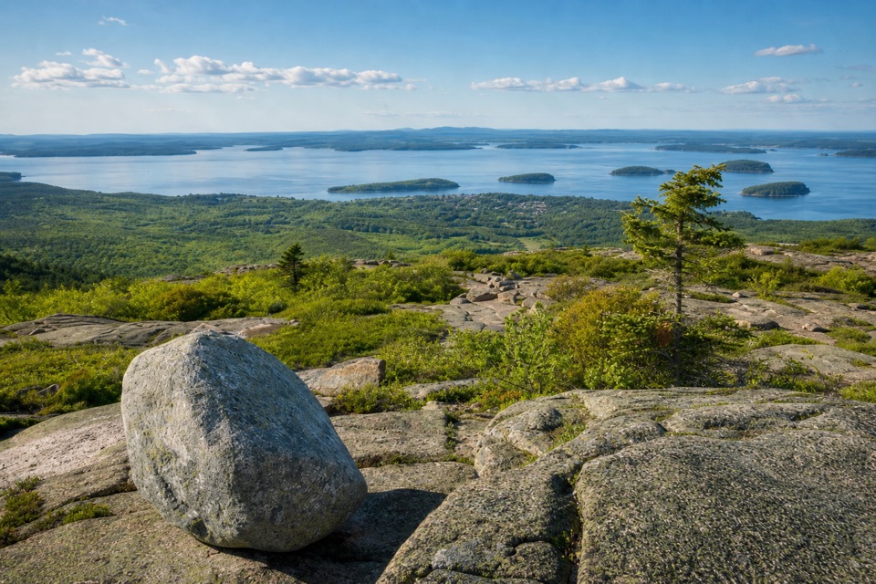
After cresting the cliff, there is about 200 feet of uneven walking to the 520-foot summit. From the top, the view takes in Sand Beach, Thunder Hole, the Gulf of Maine and the surrounding coast. Take a breath on a secure patch of rock before looking around; this is not a good place to watch the view while picking your way across the rungs. For a photo, include a piece of the granite ledge or an iron rung with the sea beyond it, but stay on the established tread.

The Bowl returnThe loop continues beyond the summit and descends the other side without more ladders or rungs.

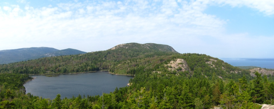
The loop continues beyond the summit and descends the other side without more ladders or rungs. It reaches the Bowl, a small pond between the Beehive and Champlain Mountain, then follows the pond to a junction with Bowl Trail and Champlain South Ridge. Turn left on Bowl Trail for a gradual dirt descent of about 0.4 mile to the Beehive junction, then retrace the 0.2-mile approach to the road. A Bowl Connector shortcut makes a 1.2-mile circuit but skips the pond; the steep rung climb is still part of it.

A bit of trail historyAcadia's granite cliffs shaped an old trail-building style.

Acadia's granite cliffs shaped an old trail-building style. The park's history credits early 20th-century trail builder Waldron Bates with introducing stone stairs and iron-rung ladders on cliff and talus routes. It doesn't establish who built this particular stretch, but the fitted rungs and granite steps show that practical tradition at work.

Access and restrictionsUse the Sand Beach parking lot or the Park Loop Road parking lane after the entrance station,…

Use the Sand Beach parking lot or the Park Loop Road parking lane after the entrance station, then cross at the marked crosswalk. Summer parking is limited and often congested from 9 a.m. to 3 p.m. Park Loop Road typically closes from mid-December to mid-April; Island Explorer buses serve Sand Beach when the shuttle is operating. There is no hike-specific reservation, but the park entrance fee applies. Sand Beach has accessible parking and restrooms, though the trail itself is not accessible. Dogs are prohibited on Acadia's rung-and-ladder trails. Wet granite gets extremely slippery in rain, and the exposed drops have no guardrails, so leave this climb for dry conditions.

Wildlife

Wildlife in Acadia

All Acadia wildlife maps

Sighting maps show where each species has been reported across Acadia. Wildlife moves, so no sighting is guaranteed.

Keep exploring

Near Beehive Loop Trail

See it all on the map

Trails that start nearby

Places near the trailhead

Parkwolf’s Acadia ranking

Top-rated trails in Acadia

All 142 trails
  1. 2Precipice TrailChallenging · 2.1 mi
  2. 3Jordan Pond PathModerate · 3.3 mi
  3. 4Bubbles TrailModerate · 1.5 mi
  4. 5Ocean PathEasy · 2.2 mi
  5. 6Cadillac Mountain South Ridge TrailChallenging · 7.8 mi
  6. 7Cadillac Summit Loop TrailEasy · 0.4 mi

Take Parkwolf to Acadia.

The audio tour guide for the drive, plus offline maps, trails, and wildlife heatmaps for when the signal drops.

4.7 from 8,600+ ratings

Download Parkwolf on the App StoreGet Parkwolf on Google Play